Ascreavie

Settlement in Angus

Scotland

Ascreavie

Valley of the Quharity Burn The minor road keeps to the slopes on the left of this flat bottomed valley where the little Quharity Burn meanders slowly along. This must be a misfit stream in an oversized valley, which in turn must have seen glacial action and may well have once held a lake.
Valley of the Quharity Burn Credit: Gordon Hatton

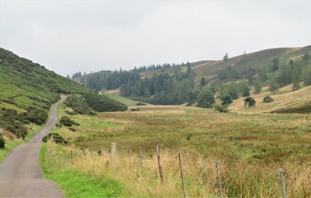
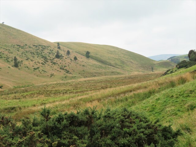
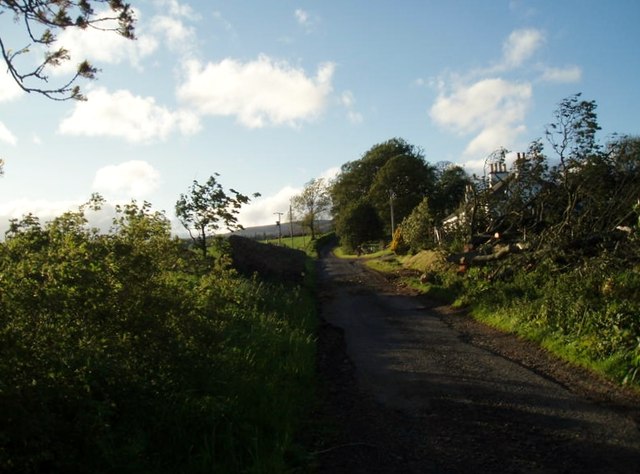
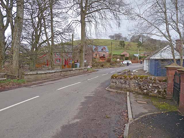
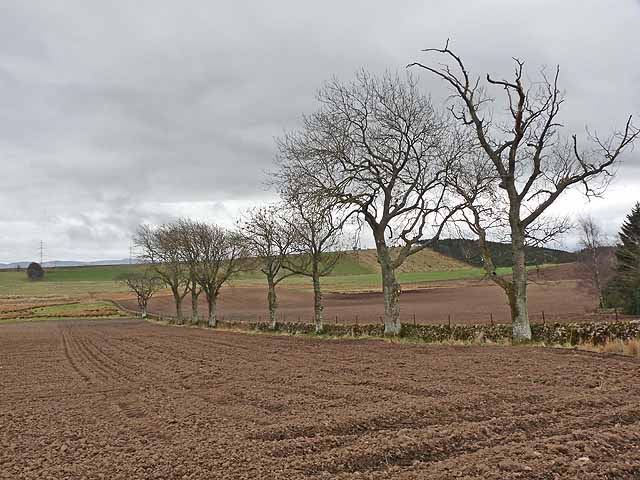
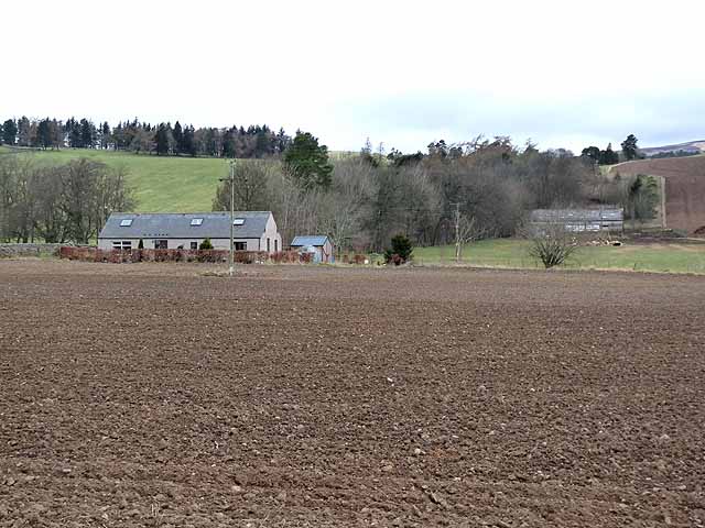
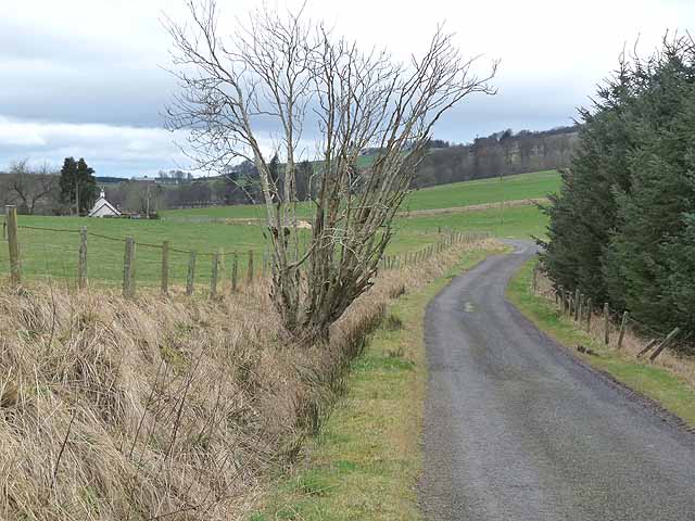
Ascreavie is a small rural village located in the county of Angus, Scotland. Situated amidst picturesque landscapes, the village is nestled in the beautiful countryside, surrounded by rolling hills and lush green fields. It is located approximately 6 miles south of the town of Forfar and is easily accessible by road.

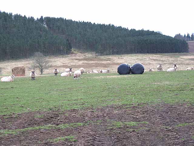
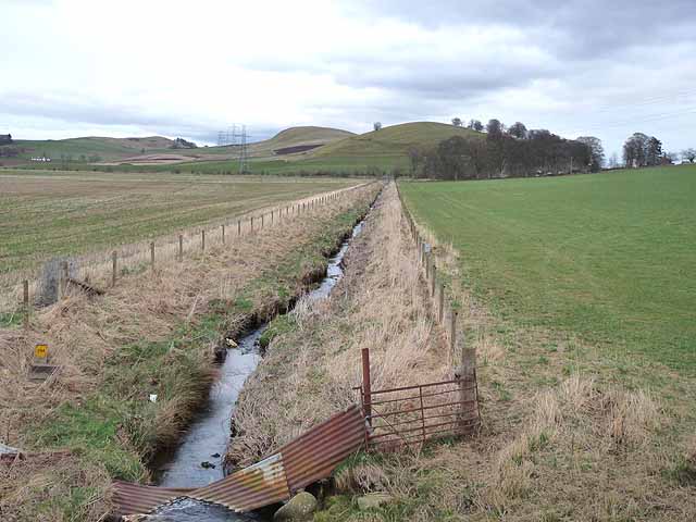
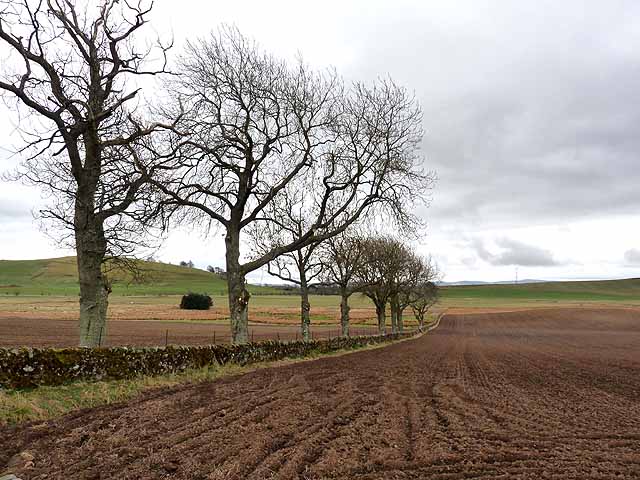
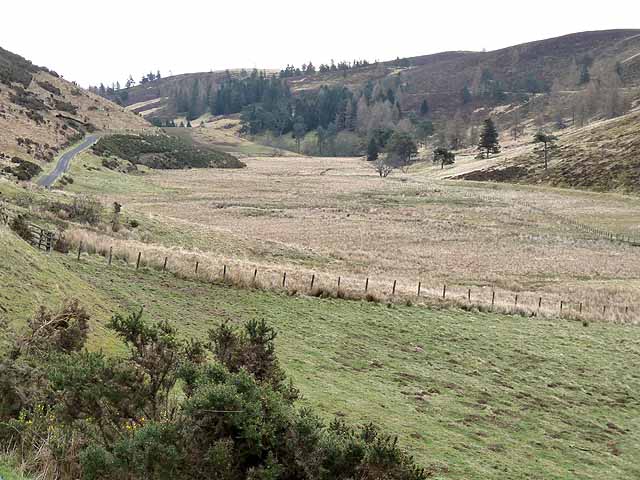
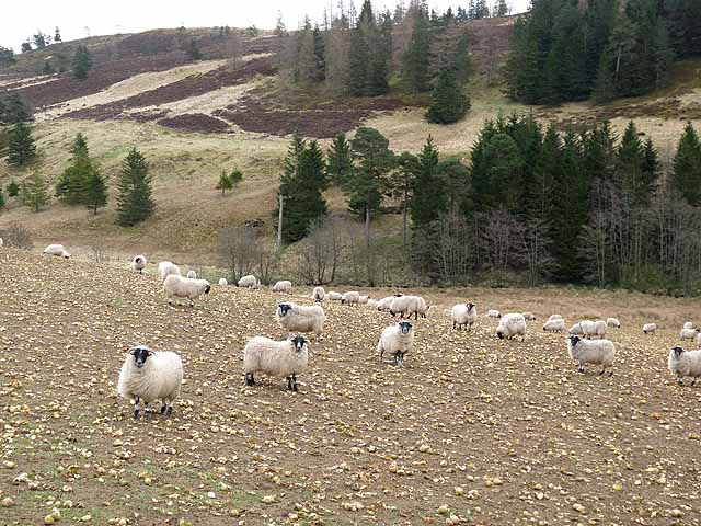
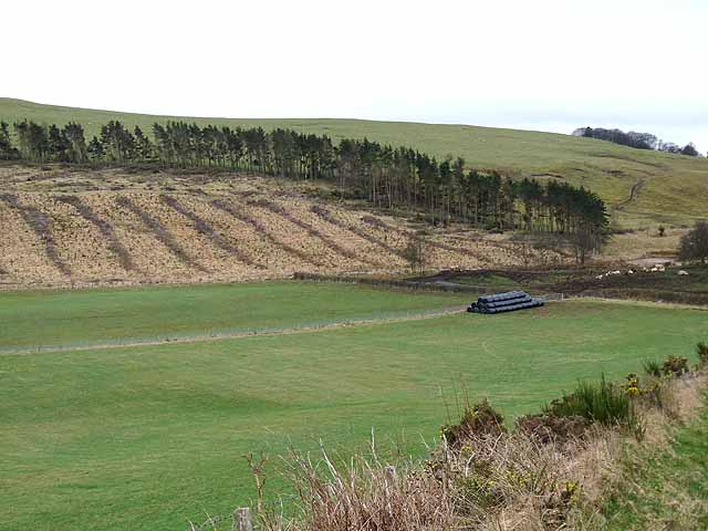
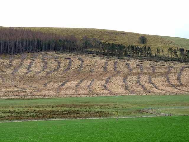
The village of Ascreavie is known for its tranquil and peaceful atmosphere, making it an ideal destination for those seeking a quiet retreat away from the hustle and bustle of city life. The area is primarily agricultural, with farming being the main occupation of the residents. The sight of grazing livestock and idyllic farmhouses is a common sight in the surroundings.

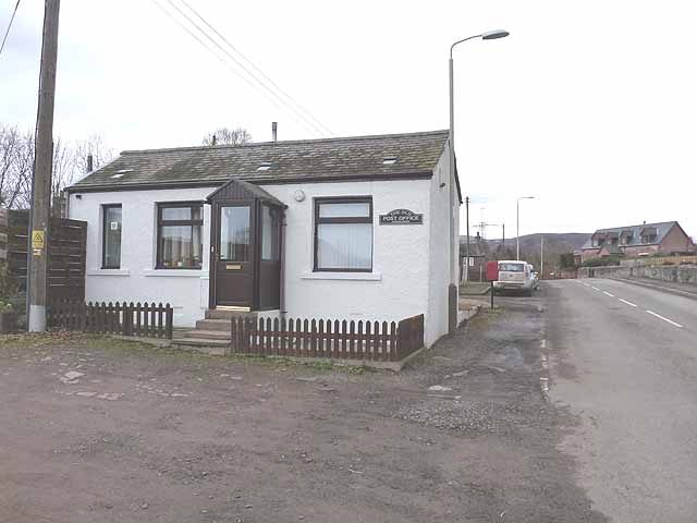
Despite its small size, Ascreavie boasts a close-knit community that takes pride in preserving their local traditions and heritage. The village is home to a small number of residents who are known for their friendly and welcoming nature. The community often comes together to organize various events and activities throughout the year, fostering a strong sense of belonging among its inhabitants.

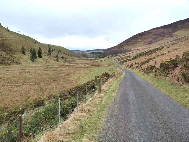
For outdoor enthusiasts, Ascreavie offers ample opportunities for exploration and recreation. The nearby countryside provides numerous walking and cycling trails, allowing visitors to immerse themselves in the stunning natural beauty of the area. Additionally, the village is within close proximity to several notable attractions, including the historic Glamis Castle and the breathtaking Angus Glens, further enhancing its appeal to tourists.

In conclusion, Ascreavie is a charming and peaceful village situated in the breathtaking Angus countryside. With its strong sense of community, stunning natural surroundings, and close proximity to notable attractions, Ascreavie is a hidden gem that offers a perfect escape for those seeking tranquility and a connection with nature.

If you have any feedback on the listing, please let us know in the comments section below.
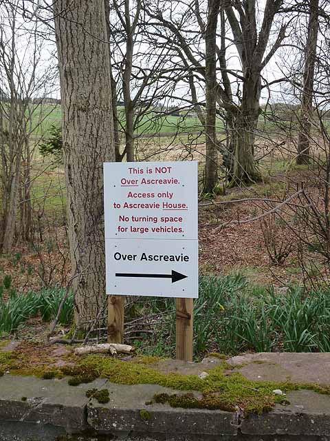
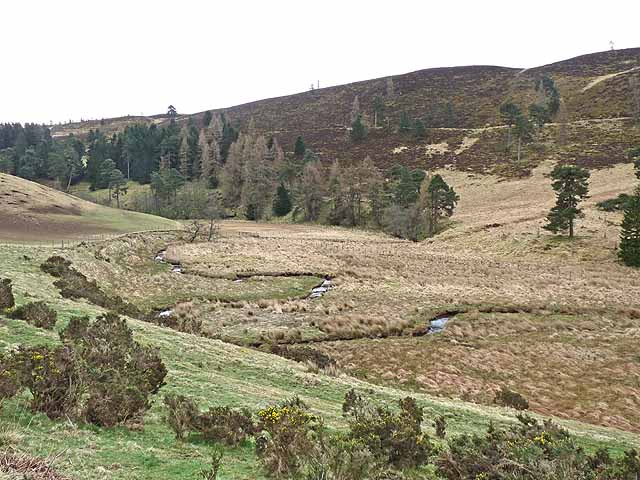
Ascreavie Images

Images are sourced within 2km of 56.699888/-3.0957341 or Grid Reference NO3357. Thanks to Geograph Open Source API. All images are credited.

Valley of the Quharity Burn The minor road keeps to the slopes on the left of this flat bottomed valley where the little Quharity Burn meanders slowly along. This must be a misfit stream in an oversized valley, which in turn must have seen glacial action and may well have once held a lake.
Valley of the Quharity Burn
The minor road keeps to the slopes on the left of this flat bottomed valley where the little Quharity Burn meanders slowly along. This must be a misfit stream in an oversized valley, which in turn must have seen glacial action and may well have once held a lake.
Looking west along the valley towards Audallan The curious valley of the Quharity Burn, a very small stream in an impressive, steep sided valley which runs west to east along the base of the big hills instead of away from them. This bears all the hallmarks of a glacial spillway or overflow channel carved out at a time when the ice age was coming to an end.
Looking west along the valley towards Audallan
The curious valley of the Quharity Burn, a very small stream in an impressive, steep sided valley which runs west to east along the base of the big hills instead of away from them. This bears all the hallmarks of a glacial spillway or overflow channel carved out at a time when the ice age was coming to an end.
After the storm A May storm had felled many trees. The remains of one lie to the right after road was cleared.
After the storm
A May storm had felled many trees. The remains of one lie to the right after road was cleared.
Silage bales, sheep and the Muir of Holm The Muir of Holm is now an extensive plantation.
Silage bales, sheep and the Muir of Holm
The Muir of Holm is now an extensive plantation.
Ditch looking east from Broadford Bridge Kirkton Hill <a href="https://www.geograph.org.uk/gridref/NO3355">NO3355</a> in the distance.
Ditch looking east from Broadford Bridge
Kirkton Hill NO3355 in the distance.
Kirkton of Kingoldrum Small village on the B951.
Kirkton of Kingoldrum
Small village on the B951.
The Old Post Office, Kirkton of Kingoldrum Like so many post offices in rural areas, this one has been closed.
The Old Post Office, Kirkton of Kingoldrum
Like so many post offices in rural areas, this one has been closed.
Ploughed field and line of trees, Aucharroch Cottage
Ploughed field and row of trees, Aucharroch Cottage
The "High Road" and the valley of the Quharity Burn The valley of the Quharity Burn which runs along the foot of the Highlands to the north (left) gives the strong impression of having been a glacial overflow channel dating from the Ice Age.
The "High Road" and the valley of the Quharity Burn
The valley of the Quharity Burn which runs along the foot of the Highlands to the north (left) gives the strong impression of having been a glacial overflow channel dating from the Ice Age.
The "High Road" and the valley of the Quharity Burn The valley of the Quharity Burn which runs along the foot of the Highlands to the north (right) gives the strong impression of having been a glacial overflow channel dating from the Ice Age.
The "High Road" and the valley of the Quharity Burn
The valley of the Quharity Burn which runs along the foot of the Highlands to the north (right) gives the strong impression of having been a glacial overflow channel dating from the Ice Age.
Aucharroch Farm
Aucharroch Farm
Peevish notice Fed up with the sat navs getting it wrong.
Peevish notice
Fed up with the sat navs getting it wrong.
Meanders in the Quharity Burn The valley of the Quharity Burn which runs along the foot of the Highlands to the north (left) gives the strong impression of having been a glacial overflow channel dating from the Ice Age.
Meanders in the Quharity Burn
The valley of the Quharity Burn which runs along the foot of the Highlands to the north (left) gives the strong impression of having been a glacial overflow channel dating from the Ice Age.
Sheep folded on root crops In the valley of the Quharity Burn.
Sheep folded on root crops
In the valley of the Quharity Burn.
Country road near Over Ascreavie
Clunehill Wood Much of the woodland has now been cleared.
Clunehill Wood
Much of the woodland has now been cleared.
Clunehill Wood Much of the lower part of the wood has now been cleared.
Clunehill Wood
Much of the lower part of the wood has now been cleared.
Show me another place!

Ascreavie is located at Grid Ref: NO3357 (Lat: 56.699888, Lng: -3.0957341)

Unitary Authority: Angus

Police Authority: Tayside

What 3 Words

///smarting.outlooks.eternally. Near Kirriemuir, Angus

Related Wikis

Ascreavie

Ascreavie is a country house in Angus, Scotland. It is located 2 kilometres (1.2 mi) north of Kirkton of Kingoldrum, and 6 kilometres (3.7 mi) north-west...

Kirkton of Kingoldrum

Kirkton of Kingoldrum is a village in Angus, Scotland. It lies in approximately four miles (6 km) west of Kirriemuir on the B951 road. == References ==

Balfour Castle, Angus

Balfour Castle was a baronial mansion at Balfour Mains, near Kirkton of Kingoldrum, Angus, Scotland. The castle which was built in the 16th century is...

Loch of Kinnordy

Loch of Kinnordy is a small loch located just west of town of Kirriemuir in Angus, Scotland, which is an important wildlife habitat. The loch itself is...

Cat Law

Cat Law (671 m) is a hill in the southern Mounth of Scotland, north of Kirriemuir in Angus. A rounded peak, it lies above Strathmore in the south and offers...

Kinnordy House

Kinnordy House (alternative spellings: Kynnordy, Kinardy, Kinnordie and Kinorde) is an estate house near Kirriemuir in Angus, Scotland. The first house...

Balintore Castle

Balintore Castle is a Victorian Category A listed building in Scotland. The castle occupies an elevated site in moorland above Balintore village, a few...

Balintore, Angus

Balintore (Scottish Gaelic: Baile an Todhair) is a village in Angus, Scotland. It lies in Glen Isla, four miles north of the Loch of Lintrathen and seven...

Nearby Amenities

Located within 500m of 56.699888,-3.0957341
Ascreavie
Name Gd: Àth Creagach
Place: hamlet
Wikidata: Q4804073
Wikipedia: en:Ascreavie
Lat/Long: 56.7027596/-3.0901049
The data included in this document is from www.openstreetmap.org. The data is made available under ODbL.

Have you been to Ascreavie?

Leave your review of Ascreavie below (or comments, questions and feedback).