Asenby

Settlement in Yorkshire Harrogate

England

Asenby

Topcliffe, 18 Long Street This property is on the north side of Long Street in Topcliffe village. According to early OS maps there should be a benchmark on this front facing wall, to the right. There was nothing to see and conclude that the mark is likely destroyed.
Topcliffe, 18 Long Street Credit: Mel Towler

Asenby is a small village located in the district of Hambleton, North Yorkshire, England. Situated approximately 7 miles east of the market town of Thirsk, Asenby is nestled in the picturesque countryside of the Vale of York.

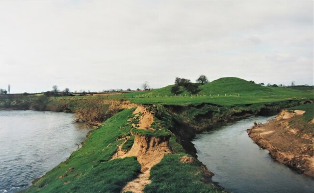
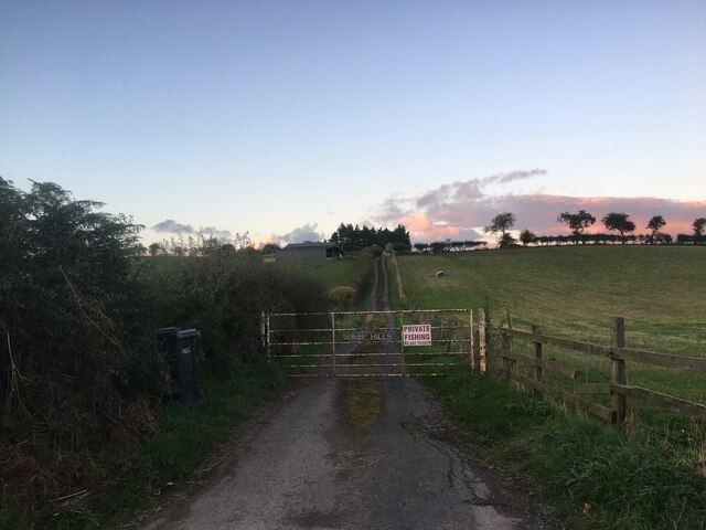
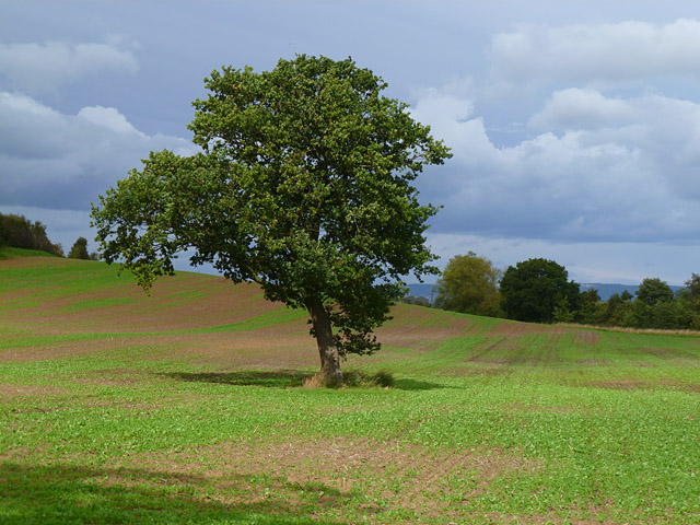
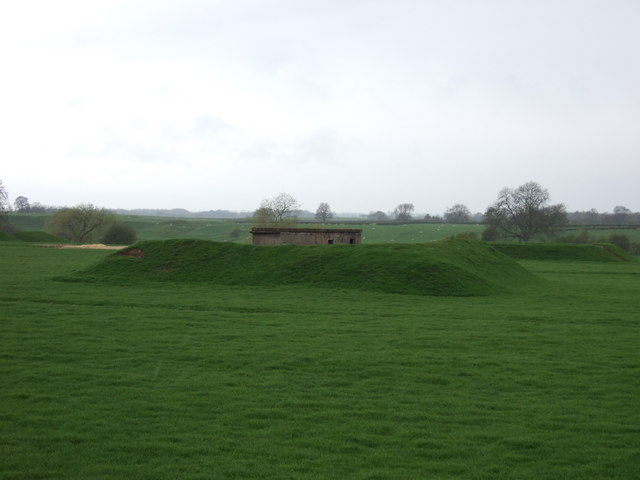
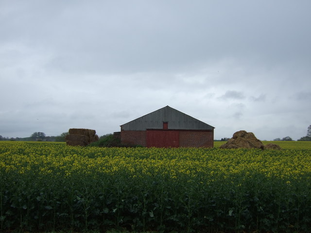
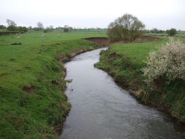
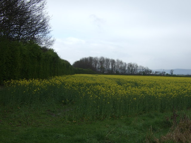
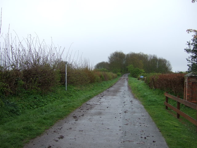
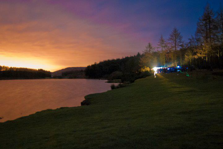
The village is characterized by its charming and peaceful atmosphere, offering a tranquil retreat from the hustle and bustle of larger towns and cities. Asenby is well-known for its idyllic rural setting, with rolling green fields, meandering streams, and ancient woodlands surrounding the village.

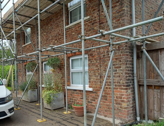
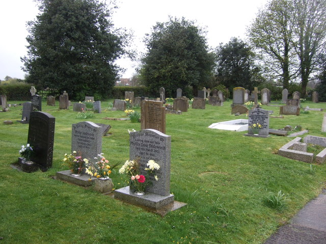
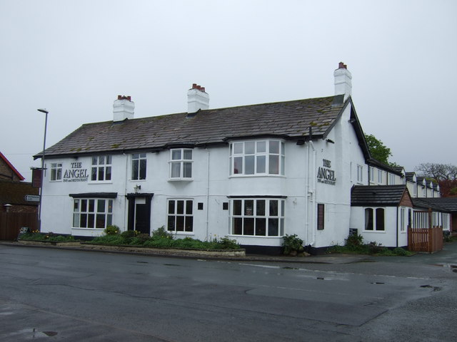
The community of Asenby is tight-knit and friendly, comprising of a relatively small population. The village is home to a mix of traditional stone cottages, farmhouses, and more modern residential properties. Many of the buildings in Asenby boast beautiful architecture, showcasing the village's rich history and heritage.

Although small, Asenby offers a range of amenities and services to its residents. The village has a village hall, which serves as a hub for community activities and events. Additionally, there are several local businesses, including a small convenience store, a pub, and a post office.

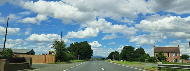
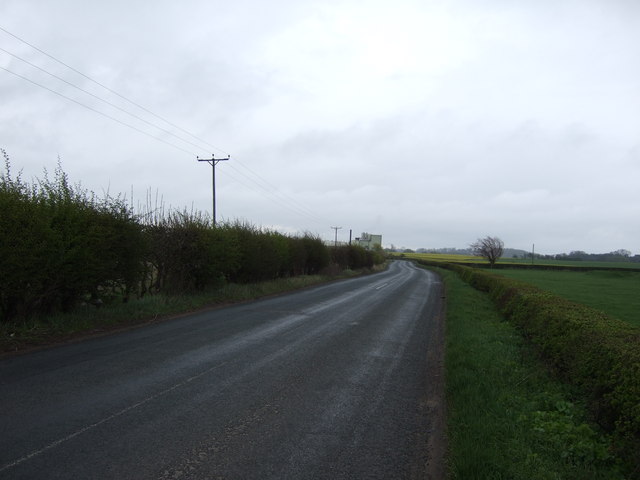
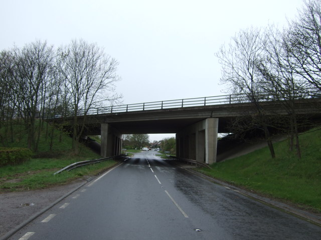
Asenby is well-connected to the surrounding areas via road links, with the A1(M) motorway just a short distance away, providing easy access to nearby towns and cities. The village also benefits from its proximity to the North York Moors National Park and the Yorkshire Dales, making it an ideal location for nature lovers and outdoor enthusiasts.

In conclusion, Asenby is a quaint and picturesque village, offering a peaceful and charming lifestyle in the heart of the Yorkshire countryside.

If you have any feedback on the listing, please let us know in the comments section below.
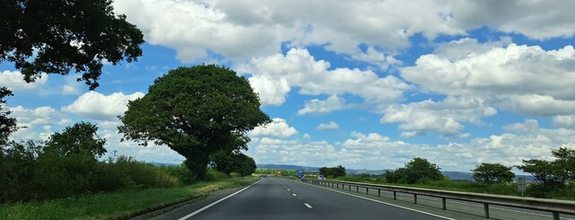
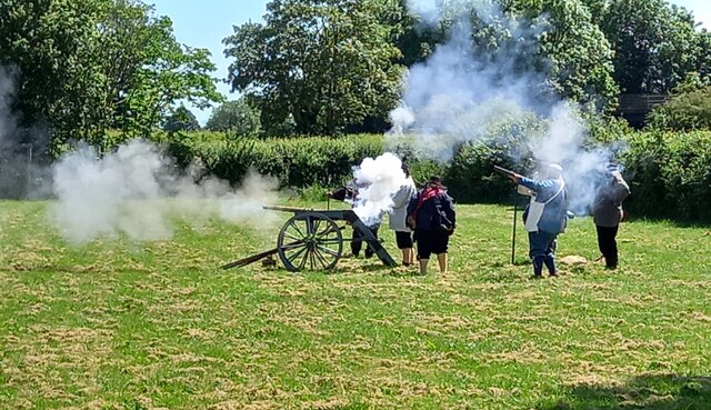
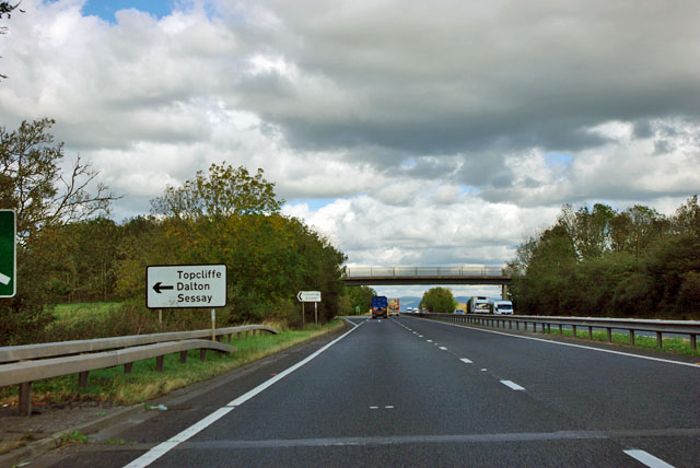
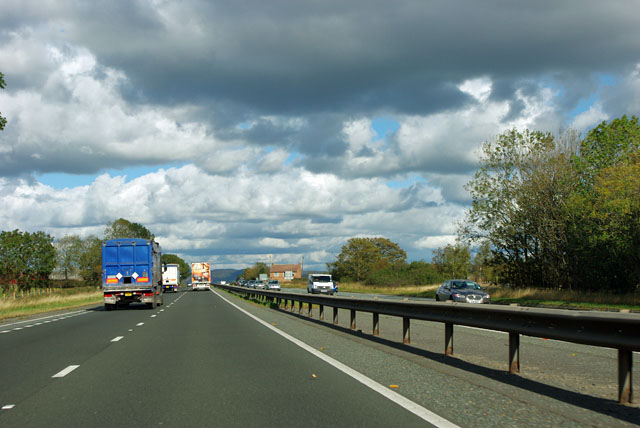
Asenby Images

Images are sourced within 2km of 54.172869/-1.390112 or Grid Reference SE3975. Thanks to Geograph Open Source API. All images are credited.

Topcliffe, 18 Long Street This property is on the north side of Long Street in Topcliffe village. According to early OS maps there should be a benchmark on this front facing wall, to the right. There was nothing to see and conclude that the mark is likely destroyed.
Topcliffe, 18 Long Street
This property is on the north side of Long Street in Topcliffe village. According to early OS maps there should be a benchmark on this front facing wall, to the right. There was nothing to see and conclude that the mark is likely destroyed.
The neck of the peninsula The waters of the River Swale to the left and Cod Beck to the right, with the very narrow neck of land which extends out into a small peninsula behind the camera position. It is a long time since this photo was taken, so I wonder if the isthmus has survived numerous floods in the intervening years. In the background is the motte of the original Topcliffe Castle.
The neck of the peninsula
The waters of the River Swale to the left and Cod Beck to the right, with the very narrow neck of land which extends out into a small peninsula behind the camera position. It is a long time since this photo was taken, so I wonder if the isthmus has survived numerous floods in the intervening years. In the background is the motte of the original Topcliffe Castle.
Gated road to Sheephills Farm
A168 northbound at Ash Tree Farm
A168 northbound just beyond Ash Tree Farm
Topcliffe under siege Royalists from the Civil War demonstrate a cannon on the playing field at Topcliffe.  No local residents were injured.
Topcliffe under siege
Royalists from the Civil War demonstrate a cannon on the playing field at Topcliffe. No local residents were injured.
A168 near Topcliffe Studying the map, the junction ahead is not really necessary, but it does enable travellers in the Dalton direction to avoid passing through Topcliffe. A bridleway crosses the bridge.
A168 near Topcliffe
Studying the map, the junction ahead is not really necessary, but it does enable travellers in the Dalton direction to avoid passing through Topcliffe. A bridleway crosses the bridge.
A168 northbound Or north-east-bound to be more precise. That decorated continental lorry ahead looks familiar but I passed it earlier! Obvious solution - there is a fleet of them.
A168 northbound
Or north-east-bound to be more precise. That decorated continental lorry ahead looks familiar but I passed it earlier! Obvious solution - there is a fleet of them.
Farmland, Leckby A tree in a field of oil-seed rape to the east of the Asenby to Cundall road.
Farmland, Leckby
A tree in a field of oil-seed rape to the east of the Asenby to Cundall road.
Farmland and defences off Eldmire Lane
Eldmire Lane heading south
Farm building off Eldmire Lane
Cod Beck
Cod Beck
Farmland beside the A168
Bridge over the A167
Topcliffe Cemetery
Topcliffe Cemetery
Winn Lane
Winn Lane
The Angel, Topcliffe
Show me another place!

Asenby is located at Grid Ref: SE3975 (Lat: 54.172869, Lng: -1.390112)

Division: North Riding

Administrative County: North Yorkshire

District: Harrogate

Police Authority: North Yorkshire

What 3 Words

///fewer.ships.haven. Near Thirsk, North Yorkshire

Nearby Locations

North Fields Asenby

Related Wikis

Asenby

Asenby is a village and civil parish in the Harrogate district of North Yorkshire, England, with a population of 285 (2001 census), increasing to 311 at...

Topcliffe, North Yorkshire

Topcliffe is a village and civil parish in the Hambleton district of North Yorkshire, England. The village is situated on the River Swale, on the A167...

Topcliffe Castle

Topcliffe Castle (also known as Maiden's Bower) is an abandoned castle located near the village of Topcliffe, North Yorkshire, England.The castle was built...

Queen Mary's School

Queen Mary's School is a private day and boarding school for girls in Baldersby Park near Topcliffe, between Ripon and Thirsk in North Yorkshire, England...

RAF Dalton

Royal Air Force Dalton or more simply RAF Dalton is a former Royal Air Force satellite station located near to Dalton, North Yorkshire, England. The airfield...

Severfield

With multiple sites in the UK, Europe and a joint venture in India, Severfield plc is the market-leading structural steelwork Group in the UK and among...

Cod Beck, North Yorkshire

Cod Beck is a river in North Yorkshire, England. It has a catchment area of 209 km2 (81 sq mi). The river extends for 20 miles (32 km) from above Cod Beck...

Rainton

Rainton is a village in the Harrogate borough of North Yorkshire, England. It is situated about 6 miles (9.7 km) north of Boroughbridge, 5 miles (8 km...

Nearby Amenities

Located within 500m of 54.172869,-1.390112
Asenby
Is In: UK,England,Yorkshire,North Yorkshire
Place: hamlet
Lat/Long: 54.1728916/-1.3901406
Bus Stop
Lat/Long: 54.1704161/-1.3935372
Parking
Description: Layby
Ele: 14.7858887
Parking: street_side
Lat/Long: 54.1708929/-1.3882632
Restaurant
Crab & Lobster
Addr City: Thirsk
Addr Postcode: YO7 3QL
Addr Street: Dishforth Road
Lat/Long: 54.1711346/-1.3945012
Bench
Lat/Long: 54.1724207/-1.3910978
Bus Stop
Naptan AtcoCode: 3200YNA90796
Naptan NaptanCode: 32090796
Shelter: yes
Lat/Long: 54.1725101/-1.3912051
Post Box
Collection Times: Mo-Fr 09:00; Sa 07:00
Operator: Royal Mail
Post Box Type: wall
Ref: YO7 2D
Royal Cypher: EIIR
Royal Cypher Wikidata: Q33102113
Source: survey
Lat/Long: 54.1728744/-1.3902341
Generator Method: photovoltaic
Generator Output Electricity: yes
Generator Source: solar
Generator Type: solar_photovoltaic_panel
Power: generator
Lat/Long: 54.1713396/-1.3915413
Generator Method: photovoltaic
Generator Output Electricity: yes
Generator Source: solar
Generator Type: solar_photovoltaic_panel
Power: generator
Lat/Long: 54.1711879/-1.3917281
Generator Method: photovoltaic
Generator Output Electricity: yes
Generator Source: solar
Generator Type: solar_photovoltaic_panel
Power: generator
Lat/Long: 54.1712316/-1.3918262
Public Bookcase
Description: bookcase inside bus shelter
Public Bookcase Type: shelf
Lat/Long: 54.1725057/-1.3912212
Defibrillator
Defibrillator Location: inside bus shelter, Asenby
Emergency: defibrillator
Lat/Long: 54.1724983/-1.3912354
The data included in this document is from www.openstreetmap.org. The data is made available under ODbL.

Have you been to Asenby?

Leave your review of Asenby below (or comments, questions and feedback).