North Fields

Downs, Moorland in Yorkshire Harrogate

England

North Fields

Topcliffe, 18 Long Street This property is on the north side of Long Street in Topcliffe village. According to early OS maps there should be a benchmark on this front facing wall, to the right. There was nothing to see and conclude that the mark is likely destroyed.
Topcliffe, 18 Long Street Credit: Mel Towler

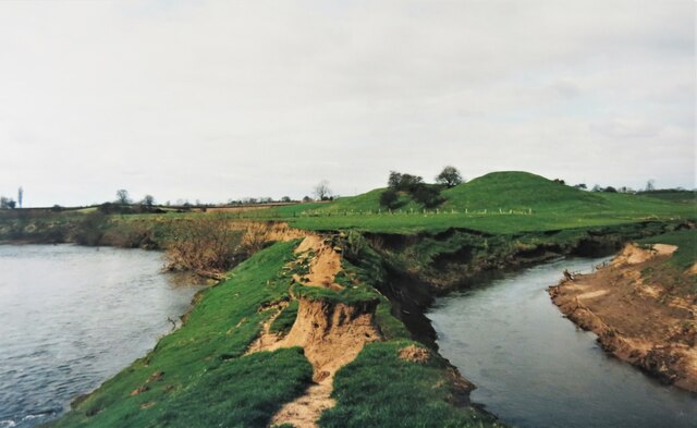
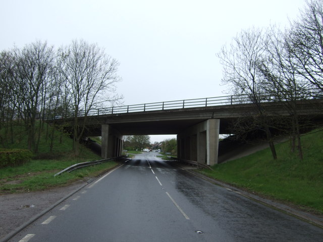
North Fields is a picturesque region located in Yorkshire, England, known for its stunning landscape and diverse natural features. Situated amidst the Downs and Moorland, this area offers a unique blend of rolling hills, verdant valleys, and expansive moors.

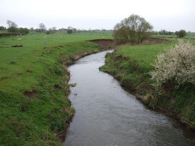
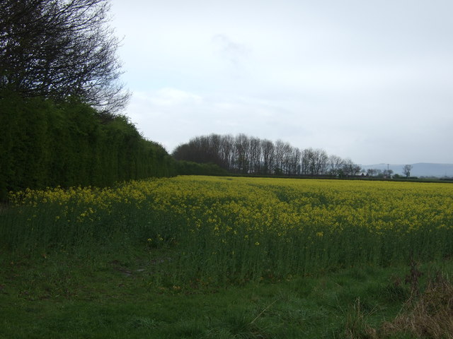
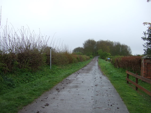
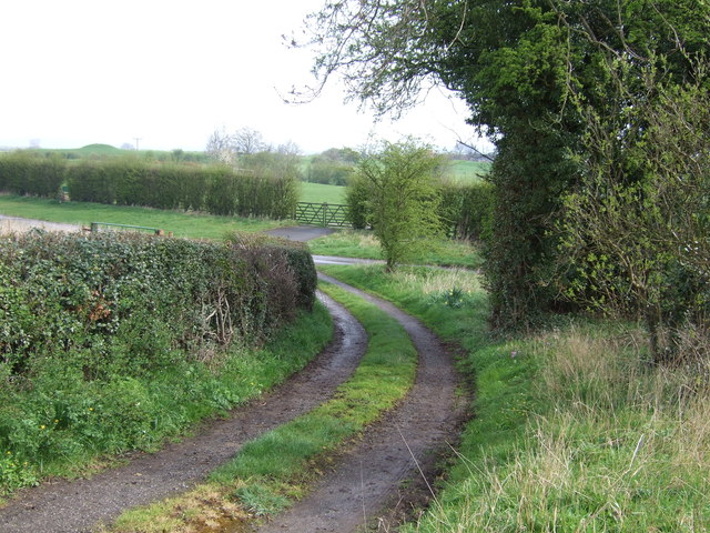
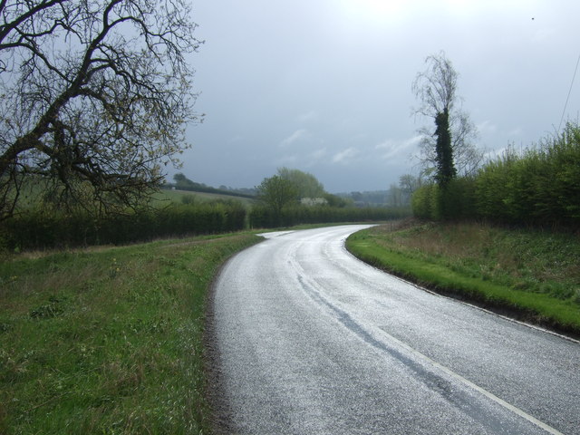
The Downs of North Fields are characterized by gently undulating hills covered in lush green grass. These hills provide a scenic backdrop and are ideal for leisurely walks or hikes, offering breathtaking views of the surrounding countryside. The area is also home to a variety of wildlife, including rabbits, foxes, and an array of bird species.

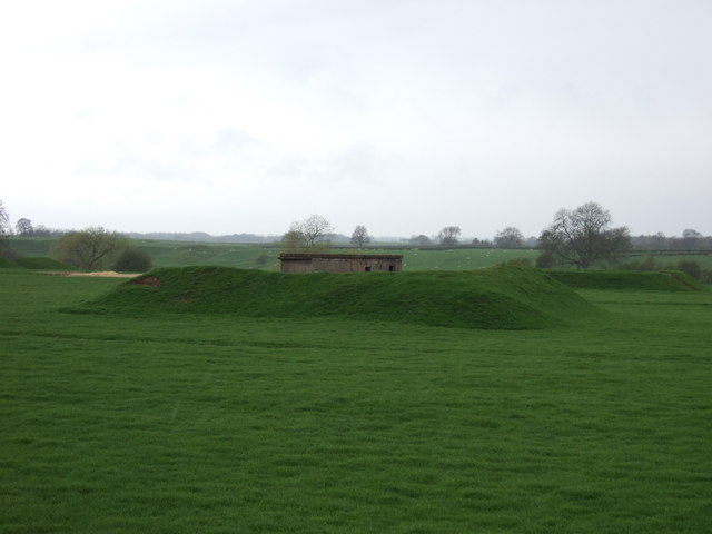
In contrast, the Moorland in North Fields boasts a more rugged terrain with vast stretches of heather-covered hills and peat bogs. This distinctive landscape creates a sense of tranquility and isolation, making it a popular destination for nature enthusiasts and photographers.

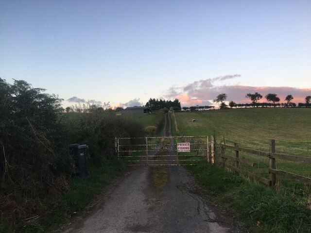
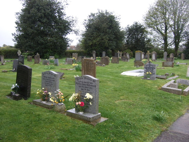
The region is dotted with charming villages and small towns that offer a glimpse into the local culture and history. Visitors can explore quaint cottages, village greens, and traditional pubs, immersing themselves in the traditional Yorkshire way of life.

North Fields is known for its unpredictable weather, with frequent changes in temperature and occasional rainfall. This climate contributes to the unique charm of the area, creating ever-changing scenery throughout the year.

Overall, North Fields in Yorkshire offers a captivating blend of natural beauty, rural charm, and tranquility. Whether it's exploring the rolling Downs, wandering through the rugged Moorland, or experiencing the local culture, this region provides a memorable experience for all who visit.

If you have any feedback on the listing, please let us know in the comments section below.
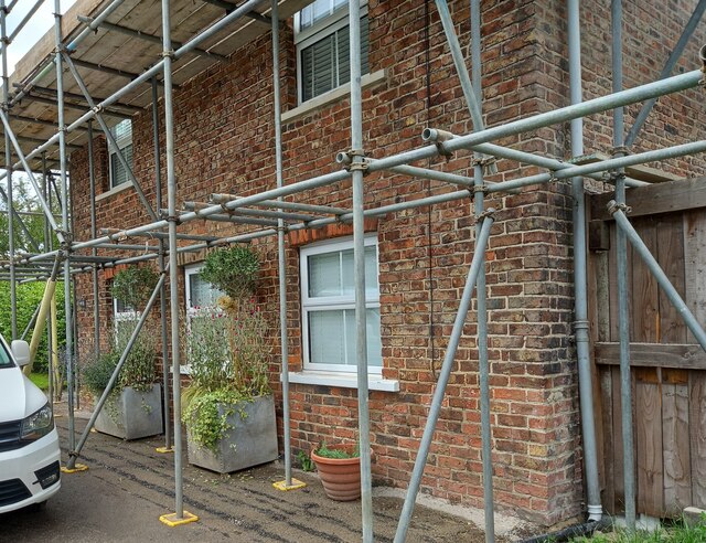
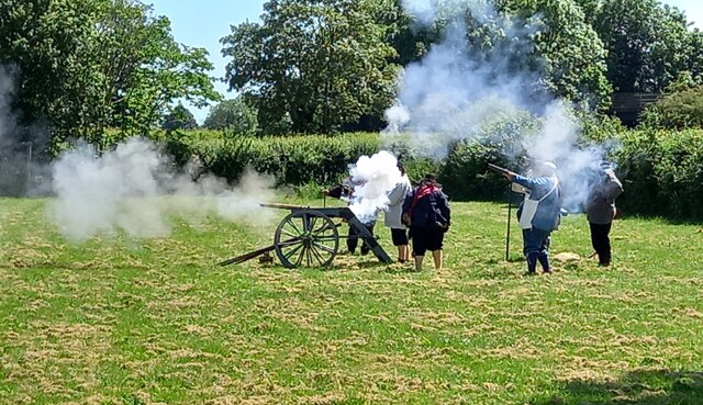
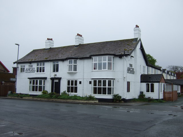
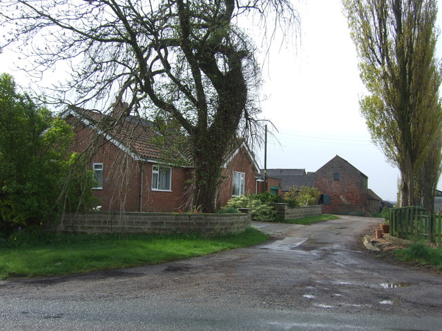
North Fields Images

Images are sourced within 2km of 54.174691/-1.3994567 or Grid Reference SE3975. Thanks to Geograph Open Source API. All images are credited.

Topcliffe, 18 Long Street This property is on the north side of Long Street in Topcliffe village. According to early OS maps there should be a benchmark on this front facing wall, to the right. There was nothing to see and conclude that the mark is likely destroyed.
Topcliffe, 18 Long Street
This property is on the north side of Long Street in Topcliffe village. According to early OS maps there should be a benchmark on this front facing wall, to the right. There was nothing to see and conclude that the mark is likely destroyed.
The neck of the peninsula The waters of the River Swale to the left and Cod Beck to the right, with the very narrow neck of land which extends out into a small peninsula behind the camera position. It is a long time since this photo was taken, so I wonder if the isthmus has survived numerous floods in the intervening years. In the background is the motte of the original Topcliffe Castle.
The neck of the peninsula
The waters of the River Swale to the left and Cod Beck to the right, with the very narrow neck of land which extends out into a small peninsula behind the camera position. It is a long time since this photo was taken, so I wonder if the isthmus has survived numerous floods in the intervening years. In the background is the motte of the original Topcliffe Castle.
Gated road to Sheephills Farm
Topcliffe under siege Royalists from the Civil War demonstrate a cannon on the playing field at Topcliffe.  No local residents were injured.
Topcliffe under siege
Royalists from the Civil War demonstrate a cannon on the playing field at Topcliffe. No local residents were injured.
A168 near Topcliffe Studying the map, the junction ahead is not really necessary, but it does enable travellers in the Dalton direction to avoid passing through Topcliffe. A bridleway crosses the bridge.
A168 near Topcliffe
Studying the map, the junction ahead is not really necessary, but it does enable travellers in the Dalton direction to avoid passing through Topcliffe. A bridleway crosses the bridge.
A168 northbound Or north-east-bound to be more precise. That decorated continental lorry ahead looks familiar but I passed it earlier! Obvious solution - there is a fleet of them.
A168 northbound
Or north-east-bound to be more precise. That decorated continental lorry ahead looks familiar but I passed it earlier! Obvious solution - there is a fleet of them.
Farmland and defences off Eldmire Lane
Cod Beck
Cod Beck
Farmland beside the A168
Bridge over the A167
Topcliffe Cemetery
Topcliffe Cemetery
Winn Lane
Winn Lane
The Angel, Topcliffe
Poplar Hill Farm
Poplar Hill Farm
Track off Whaites Lane
Whaites Lane towards Cundall
Farmland, Topcliffe Parks Farm
Track to Topcliffe Parks Farm
Show me another place!

North Fields is located at Grid Ref: SE3975 (Lat: 54.174691, Lng: -1.3994567)

Division: North Riding

Administrative County: North Yorkshire

District: Harrogate

Police Authority: North Yorkshire

What 3 Words

///economics.holds.pebble. Near Thirsk, North Yorkshire

Nearby Locations

Asenby North Fields

Related Wikis

Asenby

Asenby is a village and civil parish in the Harrogate district of North Yorkshire, England, with a population of 285 (2001 census), increasing to 311 at...

Queen Mary's School

Queen Mary's School is a private day and boarding school for girls in Baldersby Park near Topcliffe, between Ripon and Thirsk in North Yorkshire, England...

Topcliffe, North Yorkshire

Topcliffe is a village and civil parish in the Hambleton district of North Yorkshire, England. The village is situated on the River Swale, on the A167...

Topcliffe Castle

Topcliffe Castle (also known as Maiden's Bower) is an abandoned castle located near the village of Topcliffe, North Yorkshire, England.The castle was built...

Rainton

Rainton is a village in the Harrogate borough of North Yorkshire, England. It is situated about 6 miles (9.7 km) north of Boroughbridge, 5 miles (8 km...

RAF Dalton

Royal Air Force Dalton or more simply RAF Dalton is a former Royal Air Force satellite station located near to Dalton, North Yorkshire, England. The airfield...

Severfield

With multiple sites in the UK, Europe and a joint venture in India, Severfield plc is the market-leading structural steelwork Group in the UK and among...

Baldersby St James

Baldersby St James is a village in the Harrogate district of North Yorkshire, England. Several notable buildings in the village were commissioned by Viscount...

Nearby Amenities

Located within 500m of 54.174691,-1.3994567
Addr City: Thirsk
Addr Housenumber: 6
Addr Postcode: YO7 3GT
Addr Street: Asenby Business Park
Lat/Long: 54.1703484/-1.3985005
Addr City: Thirsk
Addr Housenumber: 11
Addr Postcode: YO7 3GT
Addr Street: Asenby Business Park
Lat/Long: 54.1702507/-1.3993728
Addr City: Thirsk
Addr Housenumber: 1
Addr Postcode: YO7 3GT
Addr Street: Asenby Business Park
Lat/Long: 54.1706775/-1.3990224
Addr City: Thirsk
Addr Housenumber: 5
Addr Postcode: YO7 3GT
Addr Street: Asenby Business Park
Lat/Long: 54.1705097/-1.3984066
The data included in this document is from www.openstreetmap.org. The data is made available under ODbL.

Have you been to North Fields?

Leave your review of North Fields below (or comments, questions and feedback).