Corbiehill Plantation

Wood, Forest in Fife

Scotland

Corbiehill Plantation

Road by Creich Inexplicably part of the Fife Coast Path.
Road by Creich Credit: Richard Webb

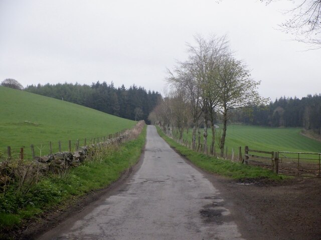
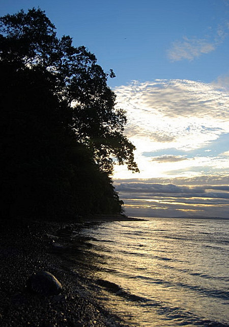
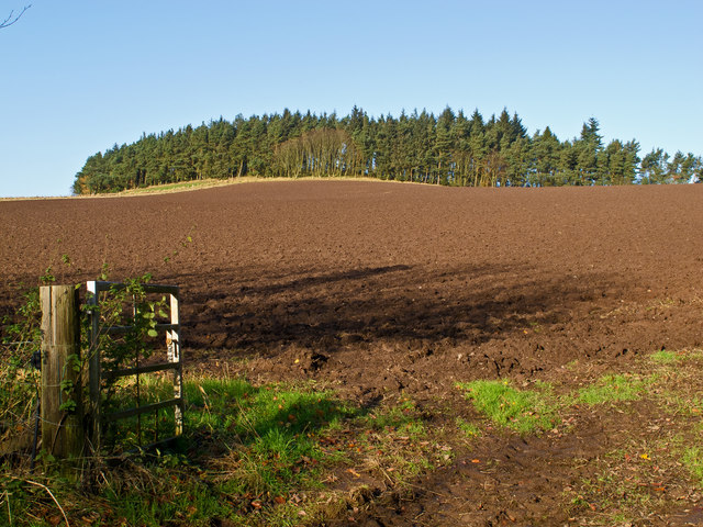
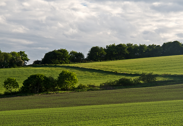
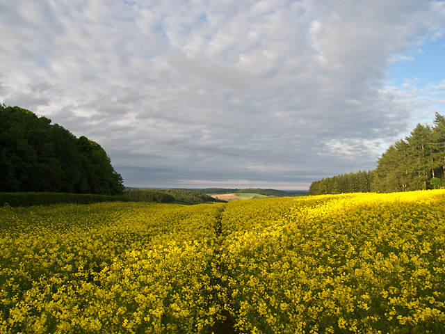
Corbiehill Plantation is a picturesque woodland located in Fife, Scotland. Spanning approximately 200 acres, this enchanting forest is a haven for nature enthusiasts and outdoor adventurers. The plantation is nestled within the rolling hills and offers a diverse range of flora and fauna, making it an idyllic destination for both flora and fauna lovers.

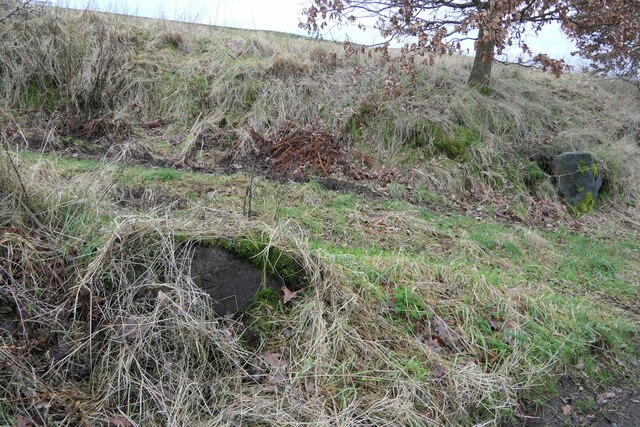
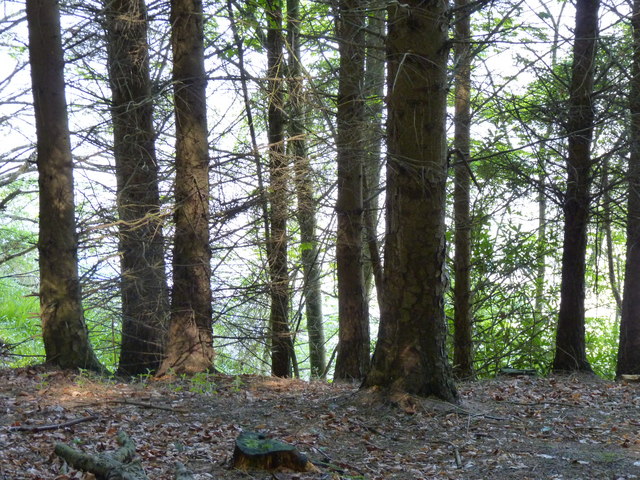
The woodland is predominantly composed of native Scottish tree species, including oak, birch, and Scots pine. These majestic trees create a dense canopy, providing shade and shelter for a variety of wildlife. Visitors to Corbiehill Plantation can expect to encounter a wide array of bird species, such as tree pipits, crossbills, and woodpeckers, making it a popular spot for birdwatching enthusiasts.

The plantation also boasts several walking trails that wind through the forest, allowing visitors to explore its natural beauty. These trails vary in difficulty, catering to both casual walkers and more experienced hikers. Along the way, walkers can enjoy breathtaking views of the surrounding countryside and may even spot deer or other small mammals.

Corbiehill Plantation is well-maintained, with clear paths, signposts, and picnic areas scattered throughout the woodland. It is a popular destination for families, offering a safe and enjoyable environment for children to explore and learn about nature.

With its tranquil atmosphere, stunning scenery, and diverse wildlife, Corbiehill Plantation is a true gem in the heart of Fife. Whether one seeks a peaceful stroll, an educational adventure, or a chance to immerse themselves in nature, this charming woodland has something to offer for everyone.

If you have any feedback on the listing, please let us know in the comments section below.

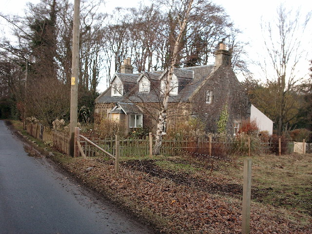
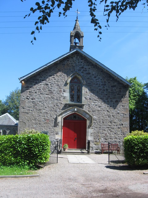
Corbiehill Plantation Images

Images are sourced within 2km of 56.389818/-3.0727516 or Grid Reference NO3322. Thanks to Geograph Open Source API. All images are credited.

Road by Creich Inexplicably part of the Fife Coast Path.
Road by Creich
Inexplicably part of the Fife Coast Path.
Benchmark location, East Flisk This benchmark took quite a bit of finding.  We covered it back up as best we could once we had photographed it.  The original stone has been dislodged and the benchmark is lying on its side.
Benchmark location, East Flisk
This benchmark took quite a bit of finding. We covered it back up as best we could once we had photographed it. The original stone has been dislodged and the benchmark is lying on its side.
Forester's Cottage sign There is an Ordnance Survey benchmark just visible on photo on large stone between house sign and plant pot.
Forester's Cottage sign
There is an Ordnance Survey benchmark just visible on photo on large stone between house sign and plant pot.
East Flisk Farm On south side of River Tay.
East Flisk Farm
On south side of River Tay.
Benchmark on Forester's Cottage, Hazelton Walls Ordnance Survey benchmark, described on database at <span class="nowrap"><a title="https://www.bench-marks.org.uk/bm37777" rel="nofollow ugc noopener" href="https://www.bench-marks.org.uk/bm37777">Link</a><img style="margin-left:2px;" alt="External link" title="External link - shift click to open in new window" src="https://s1.geograph.org.uk/img/external.png" width="10" height="10"/></span>.
Benchmark on Forester's Cottage, Hazelton Walls
Ordnance Survey benchmark, described on database at LinkExternal link.
Ordnance Survey benchmark on fallen stone, East Flisk Described on database at <span class="nowrap"><a title="https://www.bench-marks.org.uk/bm211340" rel="nofollow ugc noopener" href="https://www.bench-marks.org.uk/bm211340">Link</a><img style="margin-left:2px;" alt="External link" title="External link - shift click to open in new window" src="https://s1.geograph.org.uk/img/external.png" width="10" height="10"/></span>.  See also <a href="https://www.geograph.org.uk/photo/7687235">NO3222 : Benchmark location, East Flisk</a>.
Ordnance Survey benchmark on fallen stone, East Flisk
Described on database at LinkExternal link. See also NO3222 : Benchmark location, East Flisk.
Forester's Cottage, Hazelton Walls There is an Ordnance Survey benchmark on this cottage. See <a href="https://www.geograph.org.uk/photo/7687257">NO3321 : Benchmark on Forester's Cottage, Hazelton Walls</a>.
Forester's Cottage, Hazelton Walls
There is an Ordnance Survey benchmark on this cottage. See NO3321 : Benchmark on Forester's Cottage, Hazelton Walls.
Evening Foreshore Catching the sunset colours from the narrow, slippy shoreline.
Evening Foreshore
Catching the sunset colours from the narrow, slippy shoreline.
Trees above the Tay A glimpse of the Firth of Tay through the forest that lines the Fife shoreline at this point.
Trees above the Tay
A glimpse of the Firth of Tay through the forest that lines the Fife shoreline at this point.
Flisk Wood and the River Tay Flisk wood adjacent to a tidal section of the River Tay. The small burn that flows through Corbie Den enters the Tay to the right of the image.
Flisk Wood and the River Tay
Flisk wood adjacent to a tidal section of the River Tay. The small burn that flows through Corbie Den enters the Tay to the right of the image.
Green Craig A line of fence posts on the summit of Green Craig, with Norman's Law and the River Tay visible in the distance. The remains of a Pictish hill fort are situated on Green Craig - although the traces of this are hard to distinguish.
Green Craig
A line of fence posts on the summit of Green Craig, with Norman's Law and the River Tay visible in the distance. The remains of a Pictish hill fort are situated on Green Craig - although the traces of this are hard to distinguish.
Flisk Wood Trees and leaf canopy in Flisk Wood, which is the largest area of mixed deciduous woodland in Fife. The wood supports the growth of several species of rare plants, and is designated as a SSSI.
Flisk Wood
Trees and leaf canopy in Flisk Wood, which is the largest area of mixed deciduous woodland in Fife. The wood supports the growth of several species of rare plants, and is designated as a SSSI.
Track in Flisk Wood
Track in Flisk Wood
Corbie Den Fallen trees obscuring the Corbie Den, a small ravine eroded by an unnamed burn flowing into the River Tay from the southern flank of Corbie Hill.
Corbie Den
Fallen trees obscuring the Corbie Den, a small ravine eroded by an unnamed burn flowing into the River Tay from the southern flank of Corbie Hill.
Green Craig The north facing escarpment of Green Craig, situated near Criech in northern Fife.
Green Craig
The north facing escarpment of Green Craig, situated near Criech in northern Fife.
Farmland at Mountquhanie Recently ploughed farmland at Mountquhanie.
Farmland at Mountquhanie
Recently ploughed farmland at Mountquhanie.
Field boundaries on Ardie Hill Trees and hedging marking field boundaries on the lower slopes of Ardie Hill.
Field boundaries on Ardie Hill
Trees and hedging marking field boundaries on the lower slopes of Ardie Hill.
Oil-seed rape field near Coultra An oil-seed rape field at Coultra, with plants nearing the end of flowering. This crop is surprisingly tall - the camera was held above my head to take this image. The hedging (left of image) marks the position of a minor road on cycle route NCN1 - this section running from Newburgh to Newport on Tay offers excellent cycling, with good views over the Tay estuary. See Sustrans for route mapping: <span class="nowrap"><a title="http://www.sustrans.org.uk/" rel="nofollow ugc noopener" href="http://www.sustrans.org.uk/">Link</a><img style="margin-left:2px;" alt="External link" title="External link - shift click to open in new window" src="https://s1.geograph.org.uk/img/external.png" width="10" height="10"/></span>
Oil-seed rape field near Coultra
An oil-seed rape field at Coultra, with plants nearing the end of flowering. This crop is surprisingly tall - the camera was held above my head to take this image. The hedging (left of image) marks the position of a minor road on cycle route NCN1 - this section running from Newburgh to Newport on Tay offers excellent cycling, with good views over the Tay estuary. See Sustrans for route mapping: LinkExternal link
Show me another place!

Corbiehill Plantation is located at Grid Ref: NO3322 (Lat: 56.389818, Lng: -3.0727516)

Unitary Authority: Fife

Police Authority: Fife

What 3 Words

///salary.slamming.alone. Near Invergowrie, Perth & Kinross

Related Wikis

Nearby Amenities

Located within 500m of 56.389818,-3.0727516
Corbiehill
Ele: 156
Natural: peak
Lat/Long: 56.3885366/-3.0726017
Power: pole
Lat/Long: 56.3856023/-3.0741784
Power: pole
Lat/Long: 56.3859/-3.0736696
Power: pole
Lat/Long: 56.3864301/-3.0727905
Power: pole
Lat/Long: 56.3867026/-3.0723272
Power: pole
Lat/Long: 56.3870026/-3.071866
Power: pole
Lat/Long: 56.3874572/-3.0719901
Power: pole
Lat/Long: 56.3877938/-3.0720976
Power: pole
Lat/Long: 56.3878064/-3.0714626
Power: pole
Lat/Long: 56.3880113/-3.0708194
Power: pole
Lat/Long: 56.3884716/-3.0697087
Power: pole
Lat/Long: 56.3890521/-3.0683022
Power: pole
Lat/Long: 56.3893612/-3.0678658
Power: pole
Lat/Long: 56.3897642/-3.0669102
Power: pole
Lat/Long: 56.3902176/-3.0658182
The data included in this document is from www.openstreetmap.org. The data is made available under ODbL.

Have you been to Corbiehill Plantation?

Leave your review of Corbiehill Plantation below (or comments, questions and feedback).