Cauldmill

Settlement in Roxburghshire

Scotland

Cauldmill

Grazing, Kirkton
Grazing, Kirkton Credit: JThomas

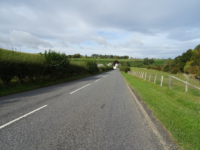
Cauldmill is a small village located in the historic county of Roxburghshire, in the Scottish Borders region of Scotland. Situated approximately 4 miles south of the town of Kelso, it is nestled in a picturesque rural setting with rolling hills and farmland surrounding the area.

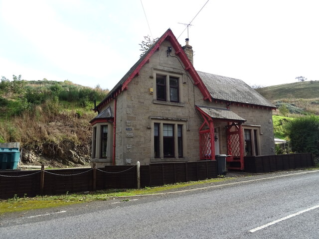
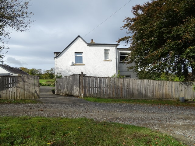
The village consists of a cluster of houses, most of which are traditional stone-built cottages, giving it a charming and quaint atmosphere. The population of Cauldmill is relatively small, with around 200 residents.

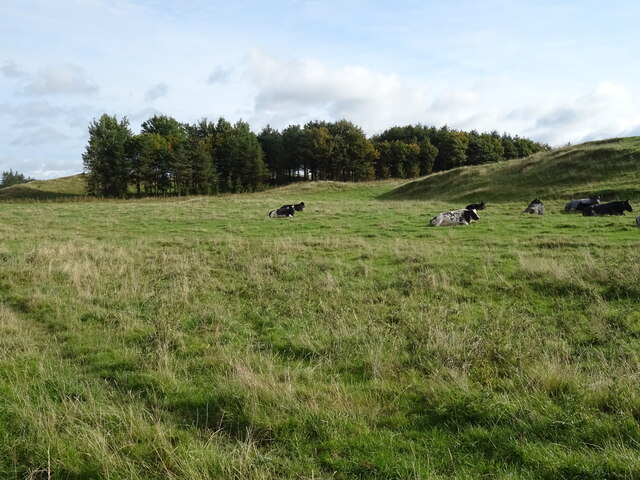
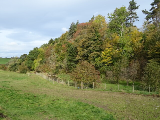
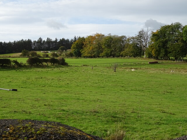
Cauldmill is known for its rich agricultural heritage, and farming continues to be an important part of the local economy. The fertile soil and favorable climate in the area make it ideal for cultivating crops and rearing livestock.

Despite its small size, Cauldmill offers a range of amenities for its residents. The village has a primary school, providing education for the local children, and a community hall that serves as a hub for various social and recreational activities. There is also a small shop that caters to the daily needs of the villagers.

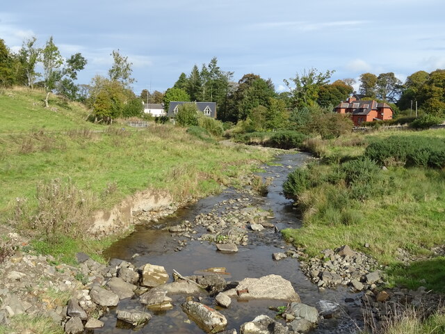
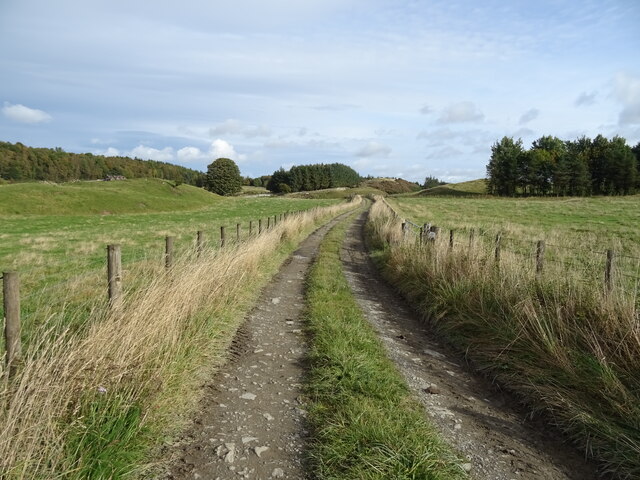
For those seeking outdoor pursuits, Cauldmill is surrounded by stunning countryside, offering ample opportunities for walking, hiking, and exploring nature. The nearby River Tweed provides opportunities for fishing, while the town of Kelso offers additional amenities such as shops, restaurants, and cultural attractions.

Overall, Cauldmill is a peaceful and idyllic village, providing a tranquil retreat from the hustle and bustle of urban life.

If you have any feedback on the listing, please let us know in the comments section below.
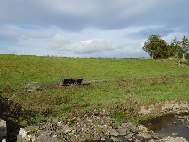
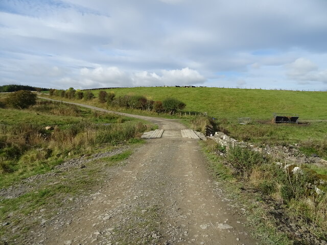
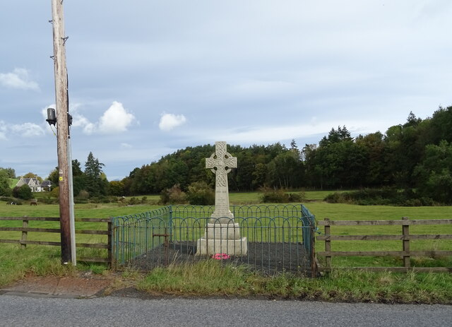
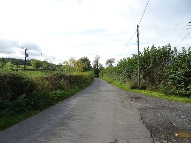
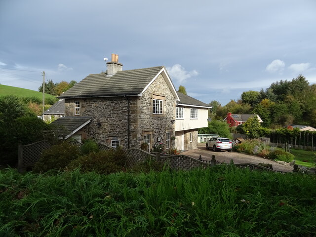
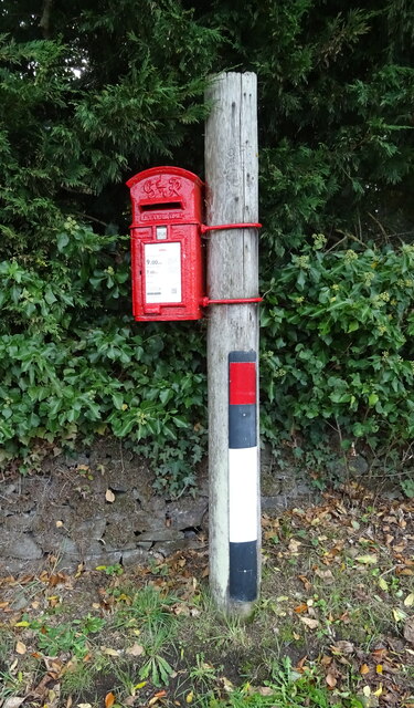
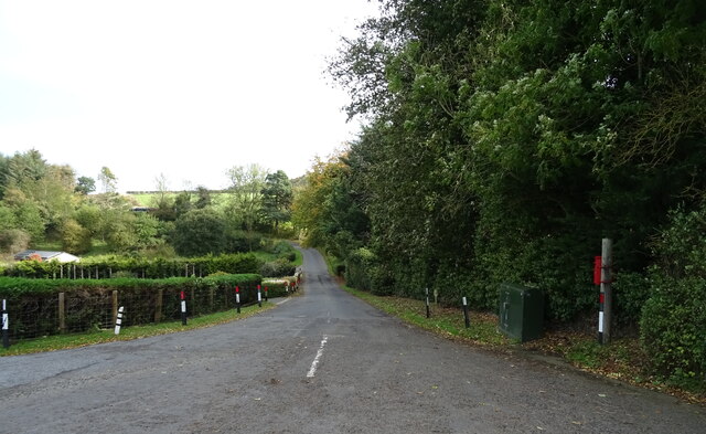
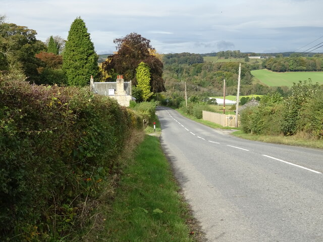
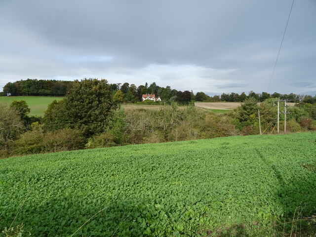
Cauldmill Images

Images are sourced within 2km of 55.426633/-2.7441745 or Grid Reference NT5315. Thanks to Geograph Open Source API. All images are credited.

Grazing, Kirkton
Grazing, Kirkton
Farm track over the Kirkton Burn
The Kirkton Burn
The Kirkton Burn
Grazing near Kirkton
Track towards Cavers Knowes
West Lodge on the A6088
A6088 towards Hawick
Grazing and woodland beside the Kirkton Burn
War Memorial, Deanbrae Beside the A6088.
War Memorial, Deanbrae
Beside the A6088.
Minor road, Deanbrae Towards Ormiston.
Minor road, Deanbrae
Towards Ormiston.
House in Cauldmill
House in Cauldmill
George VI postbox, Cauldmill Postbox No. TD9 54.

See <a href="https://www.geograph.org.uk/photo/7016978">NT5315 : Close up, George VI postbox, Cauldmill</a> for close up.
See <a href="https://www.geograph.org.uk/photo/7016980">NT5315 : Minor road, Cauldmill</a> for context.
George VI postbox, Cauldmill
Postbox No. TD9 54. See NT5315 : Close up, George VI postbox, Cauldmill for close up. See NT5315 : Minor road, Cauldmill for context.
Close up, George VI postbox, Cauldmill Postbox No. TD9 54.

See <a href="https://www.geograph.org.uk/photo/7016977">NT5315 : George VI postbox, Cauldmill</a> for wider view.
Close up, George VI postbox, Cauldmill
Postbox No. TD9 54. See NT5315 : George VI postbox, Cauldmill for wider view.
Minor road, Cauldmill Towards Kinninghall.
Showing position of Postbox No. TD9 54.

See <a href="https://www.geograph.org.uk/photo/7016977">NT5315 : George VI postbox, Cauldmill</a> for postbox.
Minor road, Cauldmill
Towards Kinninghall. Showing position of Postbox No. TD9 54. See NT5315 : George VI postbox, Cauldmill for postbox.
House on the A6088
House on the A6088
Grazing, Dodlands
Grazing, Dodlands
A6088, Dodlands Towards Hawick.
A6088, Dodlands
Towards Hawick.
Crop field beside the River Teviot Narrow strip of land beside the A698.
Crop field beside the River Teviot
Narrow strip of land beside the A698.
Show me another place!

Cauldmill is located at Grid Ref: NT5315 (Lat: 55.426633, Lng: -2.7441745)

Unitary Authority: The Scottish Borders

Police Authority: The Lothians and Scottish Borders

What 3 Words

///passwords.mirroring.leaned. Near Hawick, Scottish Borders

Related Wikis

Nearby Amenities

Located within 500m of 55.426633,-2.7441745
Post Box
Brand: Royal Mail
Brand Wikidata: Q638098
Collection Times: Mo-Fr 12:00; Sa 07:00
Operator: Royal Mail
Operator Wikidata: Q638098
Post Box Design: waggon_top
Post Box Mounting: wooden_post
Post Box Type: lamp
Ref: TD9 54
Royal Cypher: GVIR
Royal Cypher Wikidata: Q33102169
Source: local knowledge
Survey Date: 2022-08-20
Lat/Long: 55.4286552/-2.7436505
Cauldmill
Place: hamlet
Lat/Long: 55.4287585/-2.7436594
Deanbrae
Place: locality
Lat/Long: 55.4235044/-2.7403347
West Lodge
Place: isolated_dwelling
Lat/Long: 55.4239473/-2.7387819
Give Way
Direction: forward
Lat/Long: 55.4258735/-2.7435157
Give Way
Direction: forward
Lat/Long: 55.4261223/-2.7439504
Noexit: yes
Lat/Long: 55.4261277/-2.7442901
Noexit: yes
Lat/Long: 55.4262008/-2.7449513
Give Way
Direction: forward
Lat/Long: 55.4239911/-2.7389212
Give Way
Direction: forward
Lat/Long: 55.4241783/-2.7390853
Give Way
Direction: forward
Lat/Long: 55.4245426/-2.7400081
Give Way
Direction: forward
Lat/Long: 55.4286608/-2.7437879
Generator Method: photovoltaic
Generator Output Electricity: yes
Generator Source: solar
Generator Type: solar_photovoltaic_panel
Power: generator
Lat/Long: 55.4264824/-2.7379252
Historic: wayside_cross
Lat/Long: 55.4259419/-2.7434246
Power: pole
Lat/Long: 55.4306838/-2.7462967
Power: pole
Lat/Long: 55.4299488/-2.7466199
Power: pole
Lat/Long: 55.4294546/-2.7468534
Power: pole
Lat/Long: 55.4288931/-2.7471187
Power: pole
Lat/Long: 55.4283183/-2.7473911
Power: pole
Lat/Long: 55.4277753/-2.7470271
Power: pole
Lat/Long: 55.4270421/-2.7465276
Power: pole
Lat/Long: 55.4263932/-2.7460854
Power: pole
Lat/Long: 55.4257375/-2.7456579
Power: pole
Lat/Long: 55.4250717/-2.7452303
Power: pole
Lat/Long: 55.4248074/-2.7449478
Power: pole
Lat/Long: 55.4237617/-2.7438789
Power: pole
Lat/Long: 55.4225455/-2.7438432
Power: pole
Lat/Long: 55.4235826/-2.7425401
Power: pole
Lat/Long: 55.4234078/-2.741148
Power: pole
Lat/Long: 55.4250601/-2.744449
Power: pole
Lat/Long: 55.4266734/-2.7482233
Power: pole
Lat/Long: 55.426347/-2.7497529
Power: pole
Lat/Long: 55.4260133/-2.751364
Power: pole
Lat/Long: 55.4259642/-2.7516134
Power: pole
Lat/Long: 55.4255064/-2.7508728
Power: pole
Lat/Long: 55.4255627/-2.7516465
Power: pole
Lat/Long: 55.4292238/-2.7458335
Power: pole
Lat/Long: 55.4288454/-2.7441919
The data included in this document is from www.openstreetmap.org. The data is made available under ODbL.

Have you been to Cauldmill?

Leave your review of Cauldmill below (or comments, questions and feedback).