Kirk Plantation
Wood, Forest in Roxburghshire
Scotland
Kirk Plantation
Kirk Plantation is a picturesque woodland area located in Roxburghshire, a historic county in the Scottish Borders region of Scotland. Situated near the town of Hawick, this enchanting forest is known for its natural beauty and rich biodiversity.
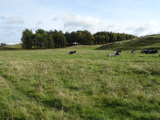
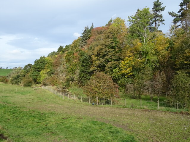
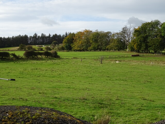
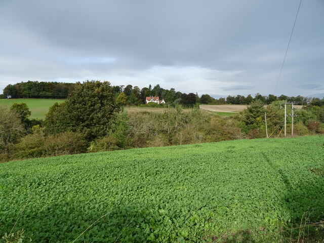
Covering an expansive area of approximately 500 acres, Kirk Plantation is predominantly composed of native tree species such as oak, ash, birch, and pine. These towering trees create a dense canopy that provides shade and shelter for a wide range of wildlife. The forest floor is carpeted with a variety of flora, including bluebells, ferns, and mosses, adding to the overall charm of the woodland.
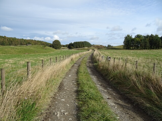
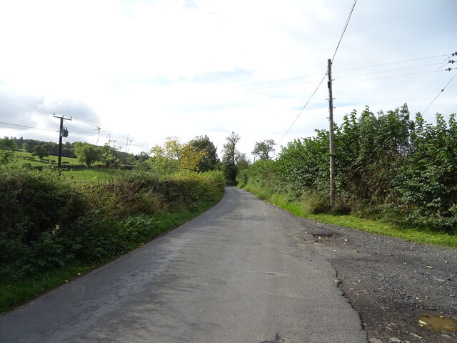
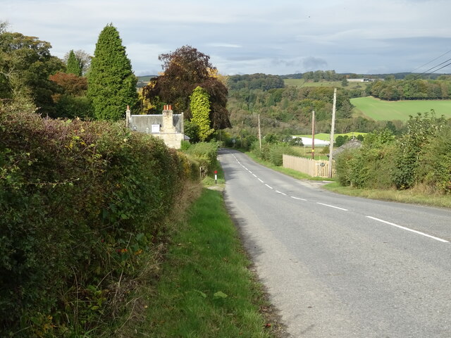
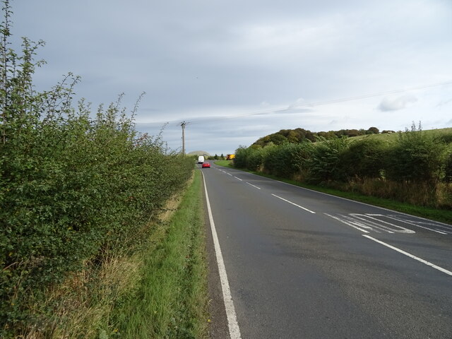
A network of well-maintained footpaths and trails traverse Kirk Plantation, allowing visitors to explore its serene surroundings. Nature enthusiasts and hikers can enjoy the peaceful ambiance and observe the abundant wildlife that calls this forest home. Visitors may encounter deer, foxes, badgers, and a plethora of bird species, including woodpeckers and owls.
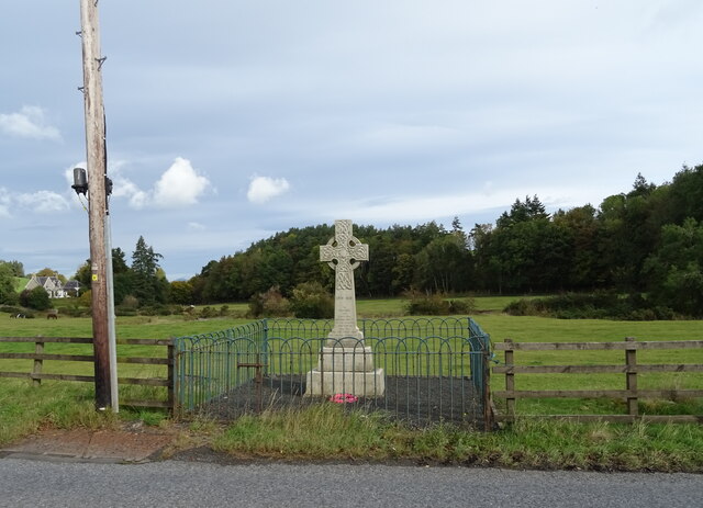
Kirk Plantation also holds historical significance, with remnants of ancient settlements and archaeological sites scattered throughout the forest. These remnants provide a glimpse into the region's past and its cultural heritage.
The forest is open to the public throughout the year, offering a tranquil escape from the hustle and bustle of everyday life. Whether it's a leisurely stroll, a family picnic, or birdwatching, Kirk Plantation provides a serene and captivating experience for nature enthusiasts and those seeking solace in the beauty of the natural world.
If you have any feedback on the listing, please let us know in the comments section below.
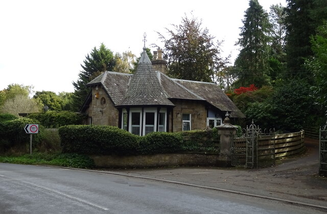
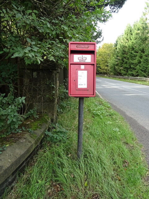
Kirk Plantation Images
Images are sourced within 2km of 55.435294/-2.7295447 or Grid Reference NT5315. Thanks to Geograph Open Source API. All images are credited.
Kirk Plantation is located at Grid Ref: NT5315 (Lat: 55.435294, Lng: -2.7295447)
Unitary Authority: The Scottish Borders
Police Authority: The Lothians and Scottish Borders
What 3 Words
///twice.flag.shredding. Near Hawick, Scottish Borders
Nearby Locations
Related Wikis

Cavers, Scottish Borders
Cavers is a parish in the Scottish Borders area of Scotland, in the former county of Roxburghshire, south and east of Hawick. The largest village in the...

Cavers Castle
Cavers Castle, also known as Cavers House, is a ruined tower house located at Cavers, Scottish Borders, Scotland. Cavers Castle was a much extended tower...

Appletreehall
Appletreehall is a village in the Scottish Borders area of Scotland, 2 miles north-east of Hawick, in the historic county of Roxburghshire. Nearby are...

Kirkton, Scottish Borders
Kirkton is a village in the Scottish Borders area of Scotland, off the A6088, near Hawick. Grid Ref. NT5413. It is a former parish, amalgamated into the...

Mansfield Park, Hawick
Mansfield Park is a rugby union ground in Hawick, Scotland, with a capacity of approximately 5,000. It is the home of Hawick Rugby Football Club, who currently...
Burnfoot, Hawick
Burnfoot (Scottish Gaelic: Bun na h-Aibhne, Scots: Burnfit) is a housing estate just east of the A7, in the northern part of Hawick, by the Boonraw Burn...

Hawick railway station
Hawick railway station served the town of Hawick, Scottish Borders, Scotland from 1849 to 1969 on the Waverley Route. == History == The first station opened...

Hawick Library
Hawick Library is housed in the building built in 1904 in Hawick and it was one of the many libraries funded by Andrew Carnegie. The library is a Category...
Nearby Amenities
Located within 500m of 55.435294,-2.7295447Have you been to Kirk Plantation?
Leave your review of Kirk Plantation below (or comments, questions and feedback).