Kinninghall Strip

Wood, Forest in Roxburghshire

Scotland

Kinninghall Strip

Grazing, Kirkton
Grazing, Kirkton Credit: JThomas

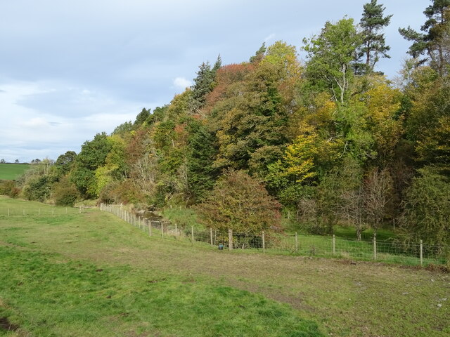
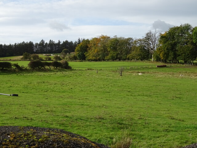
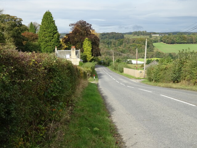
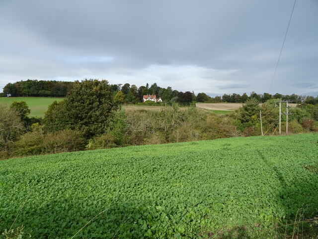
Kinninghall Strip is a picturesque wood located in Roxburghshire, Scotland. It is situated near the village of Kinninghall and is known for its scenic beauty and diverse range of flora and fauna. The strip covers an area of approximately 200 acres, making it a haven for nature enthusiasts and those seeking tranquility.

The wood consists mainly of broadleaf trees, including oak, beech, and birch, which provide a stunning display of colors during autumn. The dense canopy created by these trees offers shade and a cool atmosphere, making it a popular spot for leisurely walks and picnics during the summer months. In addition to the trees, Kinninghall Strip features an array of wildflowers, ferns, and mosses, adding to its natural charm.

The wood is also home to a variety of wildlife, including deer, foxes, and numerous bird species. Birdwatchers will find great pleasure in spotting some of the rarer species that frequent the area, such as woodpeckers and owls. The peacefulness of Kinninghall Strip makes it an ideal habitat for these animals, allowing them to thrive undisturbed.

Visitors to Kinninghall Strip can enjoy the well-maintained walking trails that wind through the wood, providing access to its various corners and hidden gems. The strip is open to the public year-round, allowing visitors to witness the ever-changing beauty that each season brings. Whether it be the vibrant hues of autumn, the fresh greenery of spring, or the peaceful snow-covered landscape of winter, Kinninghall Strip offers a serene escape into nature.

If you have any feedback on the listing, please let us know in the comments section below.

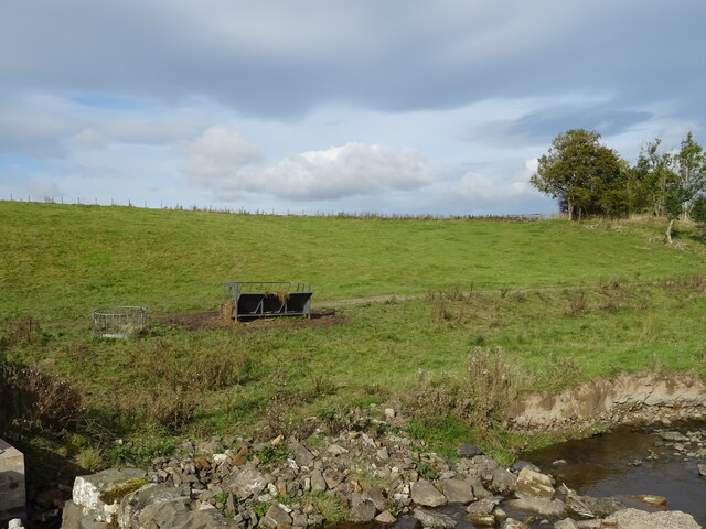
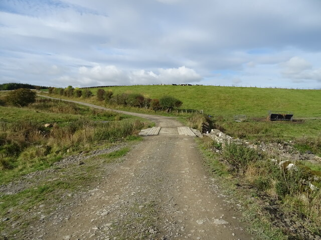
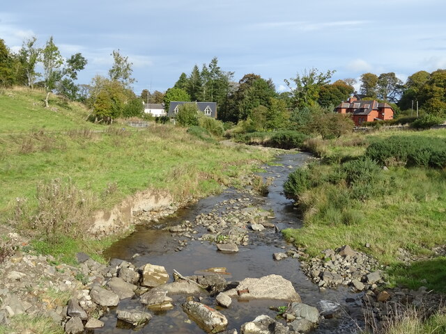
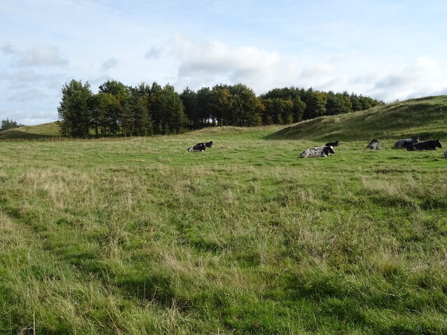
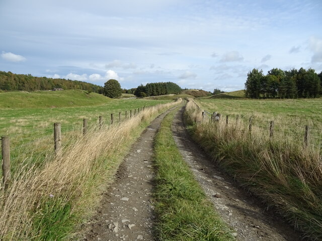
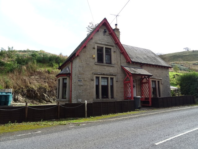
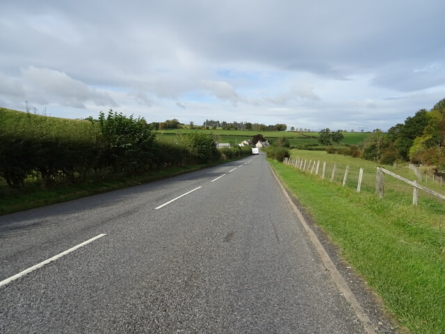
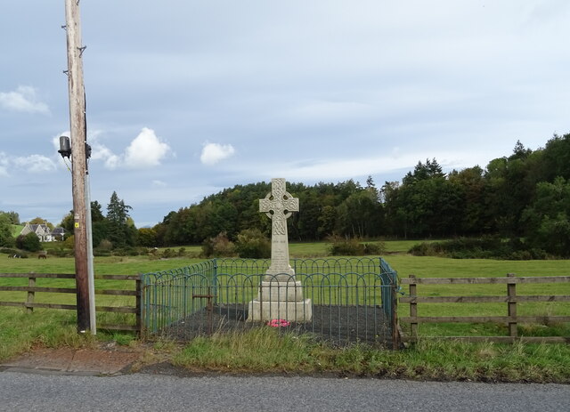
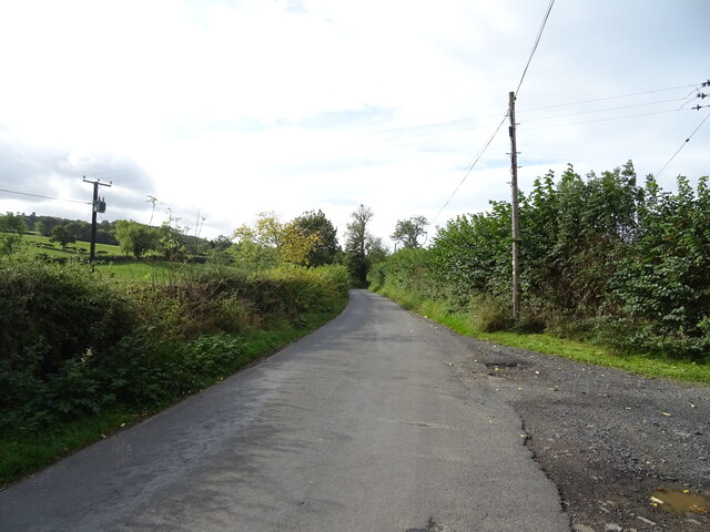
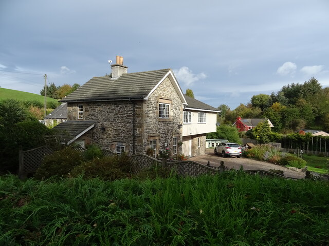
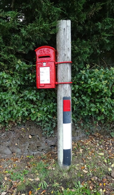
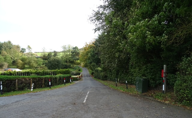
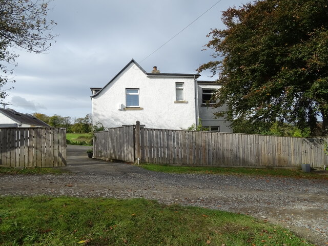
Kinninghall Strip Images

Images are sourced within 2km of 55.430789/-2.7404285 or Grid Reference NT5315. Thanks to Geograph Open Source API. All images are credited.

Grazing, Kirkton
Grazing, Kirkton
Farm track over the Kirkton Burn
The Kirkton Burn
The Kirkton Burn
Grazing near Kirkton
Track towards Cavers Knowes
West Lodge on the A6088
A6088 towards Hawick
Grazing and woodland beside the Kirkton Burn
War Memorial, Deanbrae Beside the A6088.
War Memorial, Deanbrae
Beside the A6088.
Minor road, Deanbrae Towards Ormiston.
Minor road, Deanbrae
Towards Ormiston.
House in Cauldmill
House in Cauldmill
George VI postbox, Cauldmill Postbox No. TD9 54.

See <a href="https://www.geograph.org.uk/photo/7016978">NT5315 : Close up, George VI postbox, Cauldmill</a> for close up.
See <a href="https://www.geograph.org.uk/photo/7016980">NT5315 : Minor road, Cauldmill</a> for context.
George VI postbox, Cauldmill
Postbox No. TD9 54. See NT5315 : Close up, George VI postbox, Cauldmill for close up. See NT5315 : Minor road, Cauldmill for context.
Close up, George VI postbox, Cauldmill Postbox No. TD9 54.

See <a href="https://www.geograph.org.uk/photo/7016977">NT5315 : George VI postbox, Cauldmill</a> for wider view.
Close up, George VI postbox, Cauldmill
Postbox No. TD9 54. See NT5315 : George VI postbox, Cauldmill for wider view.
Minor road, Cauldmill Towards Kinninghall.
Showing position of Postbox No. TD9 54.

See <a href="https://www.geograph.org.uk/photo/7016977">NT5315 : George VI postbox, Cauldmill</a> for postbox.
Minor road, Cauldmill
Towards Kinninghall. Showing position of Postbox No. TD9 54. See NT5315 : George VI postbox, Cauldmill for postbox.
House on the A6088
House on the A6088
Grazing, Dodlands
Grazing, Dodlands
A6088, Dodlands Towards Hawick.
A6088, Dodlands
Towards Hawick.
Crop field beside the River Teviot Narrow strip of land beside the A698.
Crop field beside the River Teviot
Narrow strip of land beside the A698.
Show me another place!

Kinninghall Strip is located at Grid Ref: NT5315 (Lat: 55.430789, Lng: -2.7404285)

Unitary Authority: The Scottish Borders

Police Authority: The Lothians and Scottish Borders

What 3 Words

///september.superhero.cherish. Near Hawick, Scottish Borders

Related Wikis

Nearby Amenities

Located within 500m of 55.430789,-2.7404285
Post Box
Brand: Royal Mail
Brand Wikidata: Q638098
Collection Times: Mo-Fr 12:00; Sa 07:00
Operator: Royal Mail
Operator Wikidata: Q638098
Post Box Design: waggon_top
Post Box Mounting: wooden_post
Post Box Type: lamp
Ref: TD9 54
Royal Cypher: GVIR
Royal Cypher Wikidata: Q33102169
Source: local knowledge
Survey Date: 2022-08-20
Lat/Long: 55.4286552/-2.7436505
Cauldmill
Place: hamlet
Lat/Long: 55.4287585/-2.7436594
Dodlands
Place: hamlet
Lat/Long: 55.4324511/-2.7460104
Kinninghall
Place: hamlet
Lat/Long: 55.432743/-2.7371427
Give Way
Direction: forward
Lat/Long: 55.4286608/-2.7437879
Generator Method: photovoltaic
Generator Output Electricity: yes
Generator Source: solar
Generator Type: solar_photovoltaic_panel
Power: generator
Lat/Long: 55.432634/-2.7369972
Generator Method: photovoltaic
Generator Output Electricity: yes
Generator Source: solar
Generator Type: solar_photovoltaic_panel
Power: generator
Lat/Long: 55.4327329/-2.7367786
Generator Method: photovoltaic
Generator Output Electricity: yes
Generator Source: solar
Generator Type: solar_photovoltaic_panel
Power: generator
Lat/Long: 55.4324758/-2.7362247
Power: pole
Lat/Long: 55.4344238/-2.7440188
Power: pole
Lat/Long: 55.4339877/-2.744281
Power: pole
Lat/Long: 55.4334506/-2.744622
Power: pole
Lat/Long: 55.4326333/-2.7451616
Power: pole
Lat/Long: 55.4320095/-2.7455561
Power: pole
Lat/Long: 55.4313524/-2.7459887
Power: pole
Lat/Long: 55.4306838/-2.7462967
Power: pole
Lat/Long: 55.4299488/-2.7466199
Power: pole
Lat/Long: 55.4294546/-2.7468534
Power: pole
Lat/Long: 55.4288931/-2.7471187
Power: pole
Lat/Long: 55.4292238/-2.7458335
Power: pole
Lat/Long: 55.4288454/-2.7441919
Power: pole
Lat/Long: 55.4342043/-2.7445355
Power: pole
Lat/Long: 55.4327878/-2.7464876
Power: pole
Lat/Long: 55.4332109/-2.7469431
Power: pole
Lat/Long: 55.4335358/-2.7461567
Power: pole
Lat/Long: 55.4338751/-2.7456782
Power: pole
Lat/Long: 55.4342592/-2.7452328
Power: pole
Lat/Long: 55.4334614/-2.743534
Power: pole
Lat/Long: 55.4327026/-2.7433304
Power: pole
Lat/Long: 55.432099/-2.7422564
Power: pole
Lat/Long: 55.431543/-2.7412358
The data included in this document is from www.openstreetmap.org. The data is made available under ODbL.

Have you been to Kinninghall Strip?

Leave your review of Kinninghall Strip below (or comments, questions and feedback).