Strip Wood
Wood, Forest in Angus
Scotland
Strip Wood

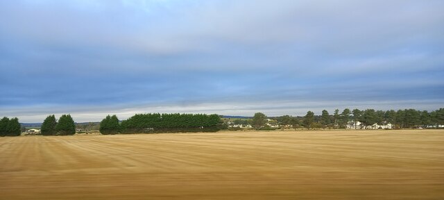
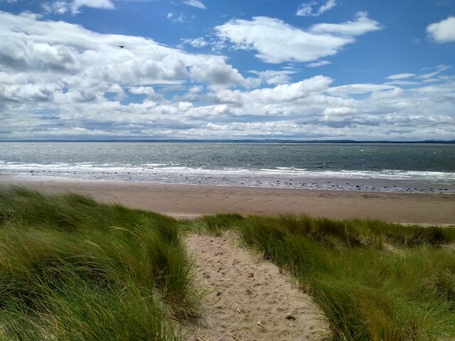
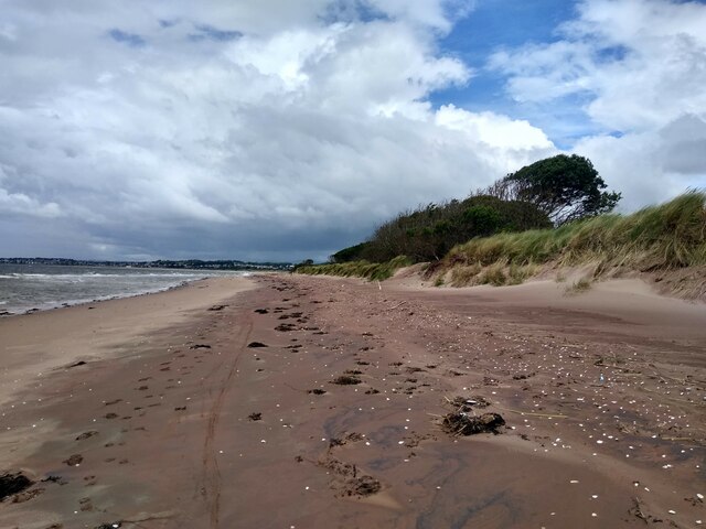
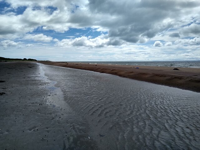
Strip Wood, Angus, also known as Wood Forest, is a picturesque woodland located in the county of Angus, Scotland. Spanning approximately 100 acres, it is a popular destination for nature lovers, hikers, and wildlife enthusiasts.
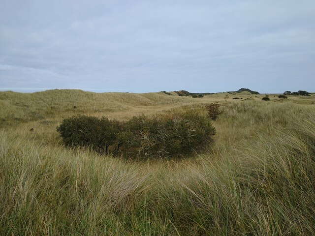
The woodland is characterized by its diverse range of tree species, including oak, birch, beech, and pine. The trees form a dense canopy, providing a cool and serene environment, particularly during the summer months. The forest floor is covered in a thick carpet of moss, ferns, and wildflowers, adding to the beauty of the natural landscape.
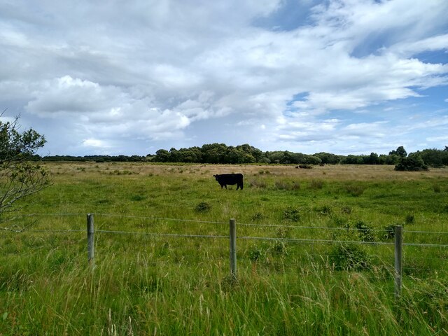
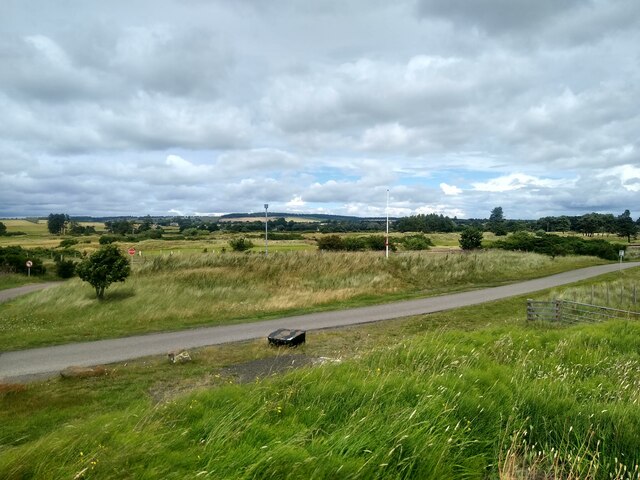
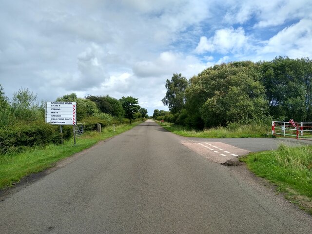
The wood is crisscrossed by a network of well-maintained trails, allowing visitors to explore the area on foot. These trails vary in length and difficulty, catering to both casual strollers and avid hikers. Along the way, visitors may encounter various wildlife species, such as deer, foxes, and a wide variety of bird species, making it a haven for birdwatching.
In addition to its natural beauty, Strip Wood also has historical significance. The wood has remnants of ancient settlements, including stone circles and burial mounds, dating back to the Bronze Age. These historical features add an air of mystique and intrigue to the woodland, attracting history enthusiasts and archaeologists.
Overall, Strip Wood, Angus, offers a serene and enchanting experience for those seeking to immerse themselves in the beauty of nature. With its diverse flora and fauna, well-maintained trails, and historical sites, it is a must-visit destination for anyone exploring the Angus region of Scotland.
If you have any feedback on the listing, please let us know in the comments section below.
Strip Wood Images
Images are sourced within 2km of 56.48257/-2.7607892 or Grid Reference NO5332. Thanks to Geograph Open Source API. All images are credited.


Strip Wood is located at Grid Ref: NO5332 (Lat: 56.48257, Lng: -2.7607892)
Unitary Authority: Angus
Police Authority: Tayside
What 3 Words
///lonely.ladder.fruitcake. Near Monifieth, Angus
Nearby Locations
Related Wikis

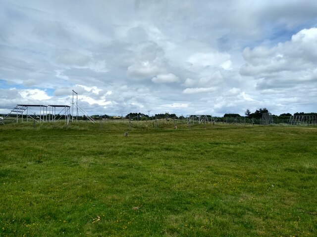
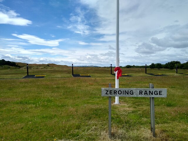
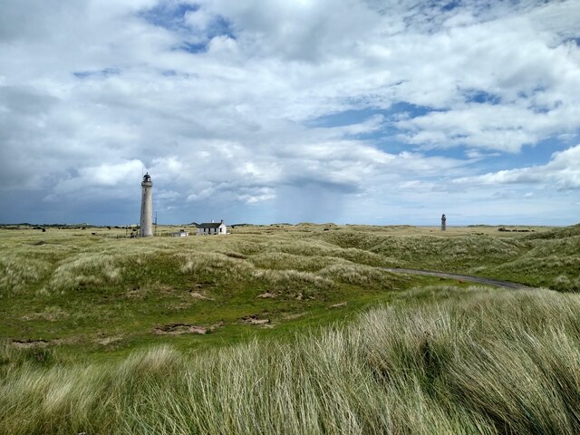
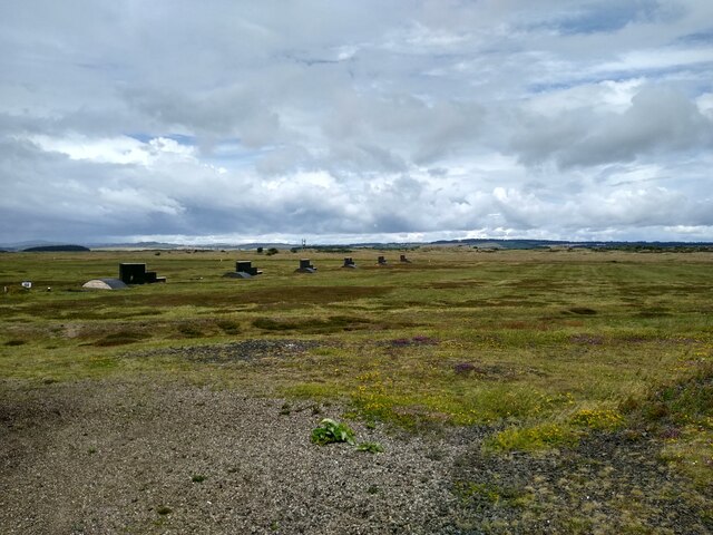
Barry Buddon Training Area
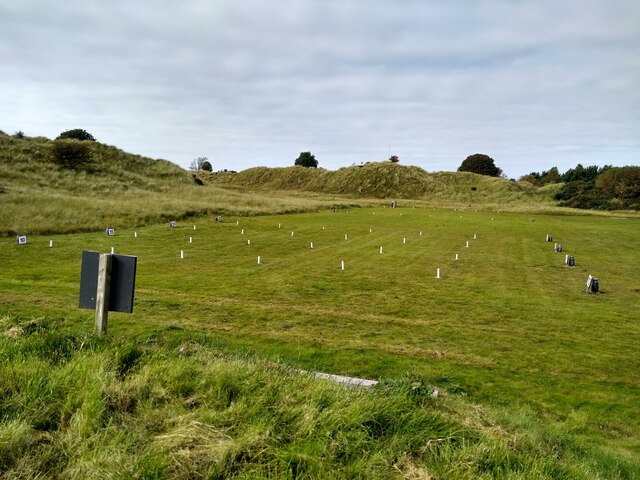
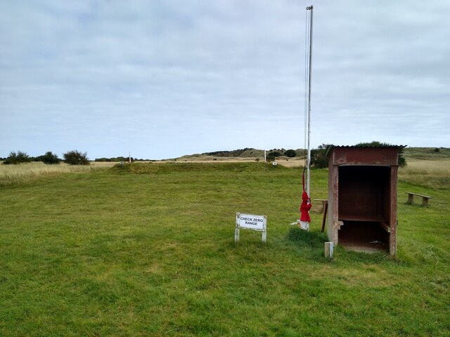
Barry Buddon Training Area is a Ministry of Defence-owned rifle range and training area in Barry, Angus, Scotland, which runs adjacent to Carnoustie Golf...

Panmure Golf Club
Panmure Golf Club is a golf club close to the village of Barry, Angus, Scotland. It is one of the clubs that originally helped purchase the Amateur Championship...

Buddon Siding railway station
Buddon railway station was a Scottish railway station on the Dundee and Arbroath Railway that served the Barry Buddon Training Area from 1910 to 1957....

Barry Links railway station
Barry Links railway station lies south of the village of Barry, west of Carnoustie in Angus, Scotland. It is sited 8 miles 67 chains (14.2 km) from the...
Have you been to Strip Wood?
Leave your review of Strip Wood below (or comments, questions and feedback).