Big Wood
Wood, Forest in Angus
Scotland
Big Wood

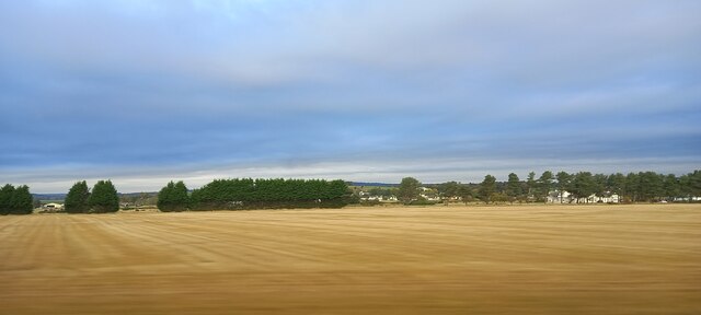
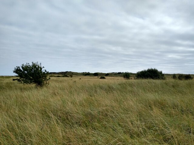
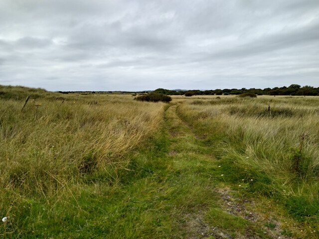
Big Wood, Angus, also known as Big Wood Forest, is a large woodland located in the county of Angus, Scotland. Spanning an area of approximately 1,500 hectares, the forest is a significant natural and recreational asset in the region.
Composed mainly of mixed native broadleaf and coniferous trees, Big Wood offers a diverse and picturesque landscape. The forest is dominated by species such as oak, beech, birch, and Scots pine, creating a rich and vibrant habitat for various flora and fauna. The forest floor is often adorned with bluebells, ferns, and wildflowers during the spring and summer months.
Big Wood is a popular destination for outdoor enthusiasts, nature lovers, and local residents seeking recreational activities. The forest offers a network of well-maintained trails and paths, allowing visitors to explore its beauty on foot, horseback, or bicycle. These paths provide access to stunning viewpoints, tranquil picnic spots, and opportunities for wildlife observation.
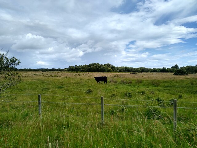
The forest is home to a wide range of wildlife, including deer, red squirrels, badgers, and numerous bird species. It is a designated Site of Special Scientific Interest (SSSI) due to its ecological importance and the presence of rare and protected species.
In addition to its natural beauty, Big Wood also plays a vital role in carbon sequestration and contributes to mitigating climate change. The forest acts as a carbon sink, absorbing and storing significant amounts of carbon dioxide, thereby helping to reduce greenhouse gas emissions.
Overall, Big Wood, Angus is a remarkable forest, offering both a haven for wildlife and a recreational paradise for visitors to enjoy the natural splendor of Angus.
If you have any feedback on the listing, please let us know in the comments section below.
Big Wood Images
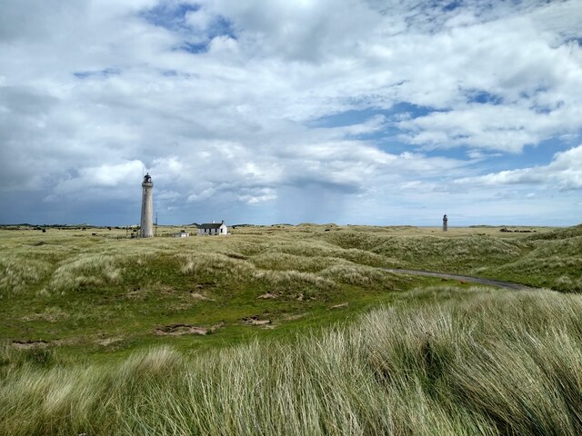
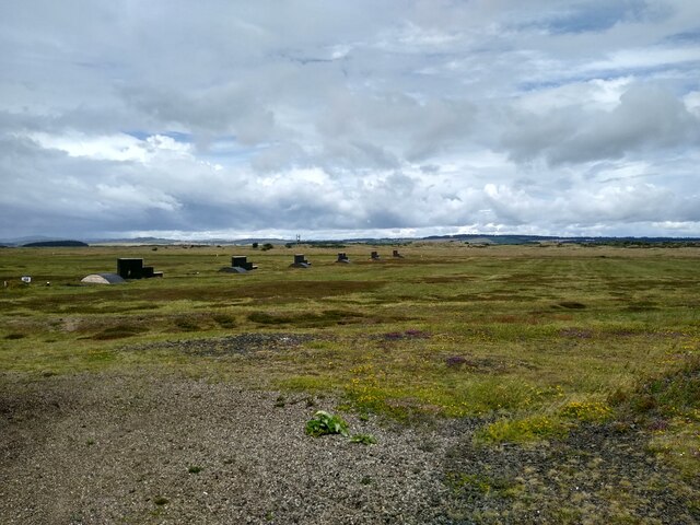
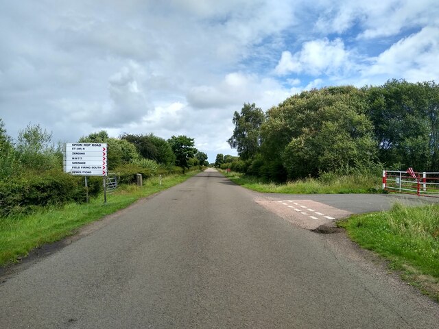
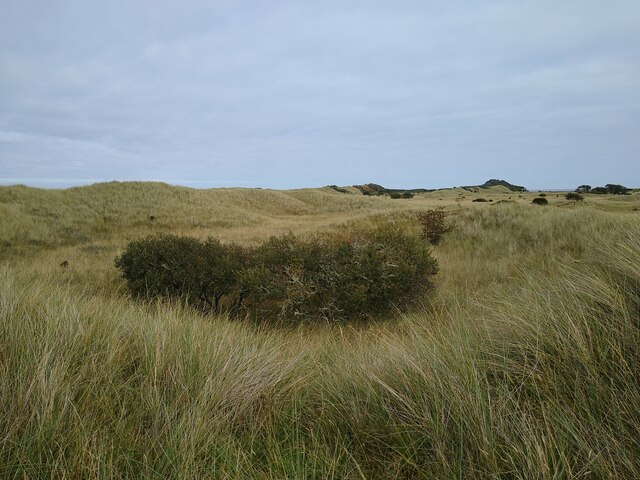
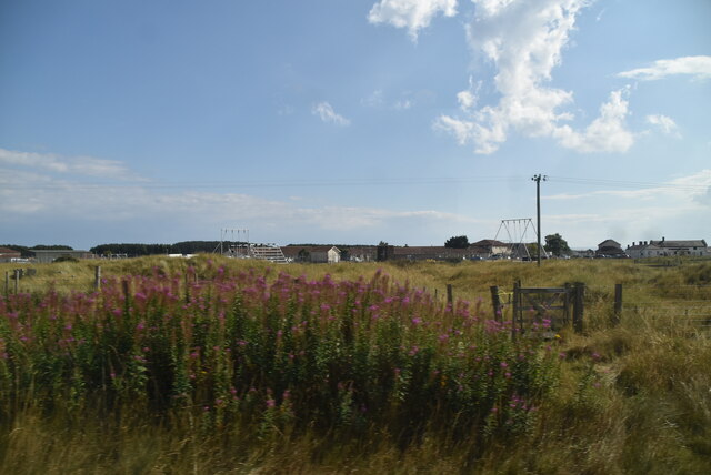
Images are sourced within 2km of 56.486699/-2.7495373 or Grid Reference NO5332. Thanks to Geograph Open Source API. All images are credited.
Big Wood is located at Grid Ref: NO5332 (Lat: 56.486699, Lng: -2.7495373)
Unitary Authority: Angus
Police Authority: Tayside
What 3 Words
///care.obligated.cheese. Near Carnoustie, Angus
Nearby Locations
Related Wikis

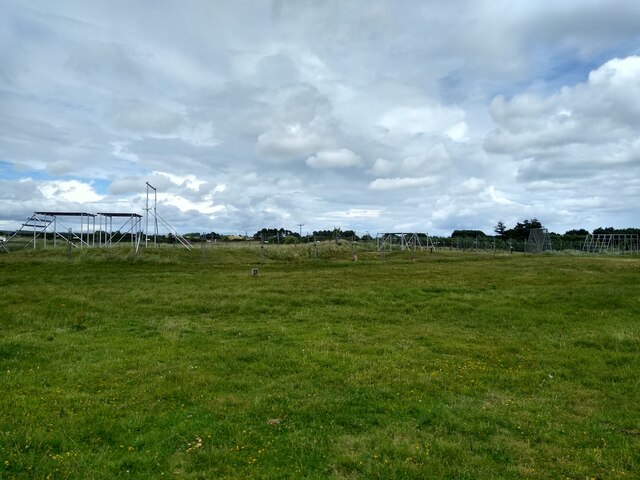
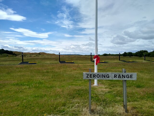
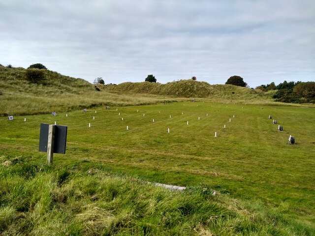
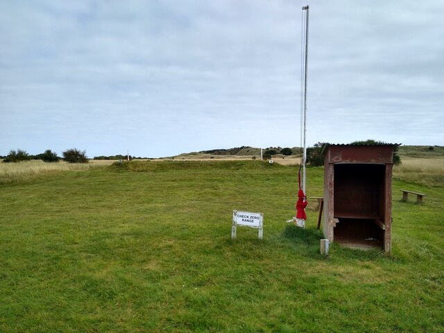
Barry Buddon Training Area
Barry Buddon Training Area is a Ministry of Defence-owned rifle range and training area in Barry, Angus, Scotland, which runs adjacent to Carnoustie Golf...

Barry Links railway station
Barry Links railway station lies south of the village of Barry, west of Carnoustie in Angus, Scotland. It is sited 8 miles 67 chains (14.2 km) from the...

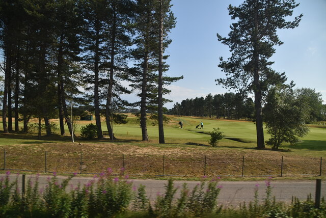
Panmure Golf Club
Panmure Golf Club is a golf club close to the village of Barry, Angus, Scotland. It is one of the clubs that originally helped purchase the Amateur Championship...

Barry, Angus
Barry (Scottish Gaelic: Barraidh) is a small village in Angus, Scotland, on Barry Burn at the mouth of the River Tay. The recent completion of a bypass...
Have you been to Big Wood?
Leave your review of Big Wood below (or comments, questions and feedback).