Cauldon
Settlement in Staffordshire Staffordshire Moorlands
England
Cauldon
Cauldon is a small village located in the Staffordshire Moorlands district of Staffordshire, England. Situated approximately 5 miles east of Leek, the village is nestled within the picturesque countryside of the Peak District National Park.
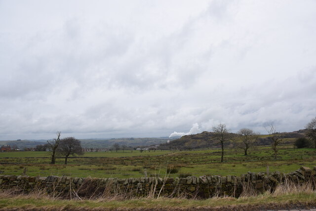
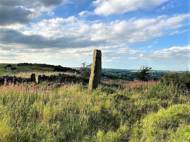
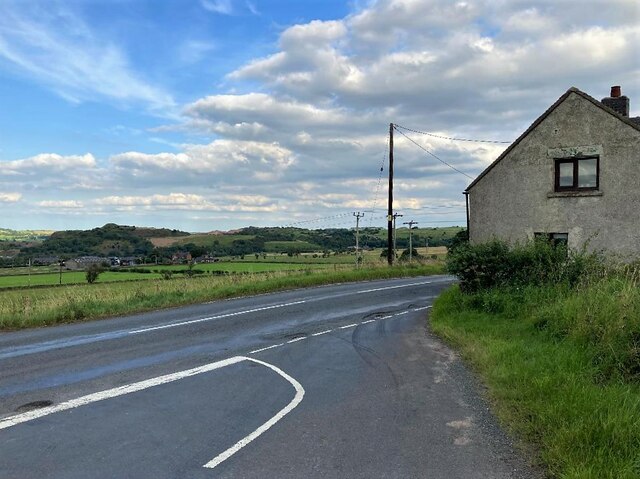
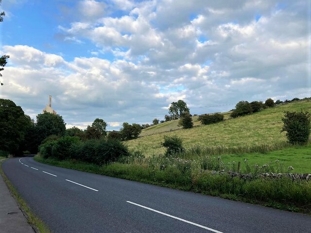
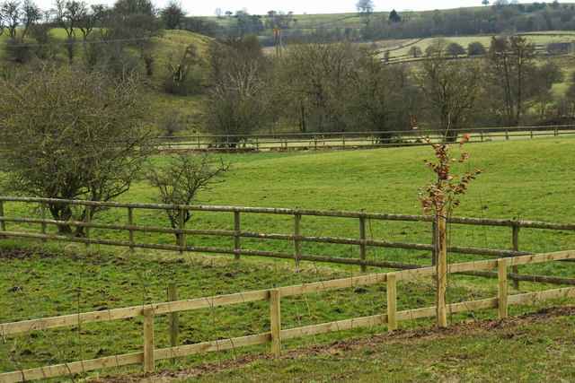
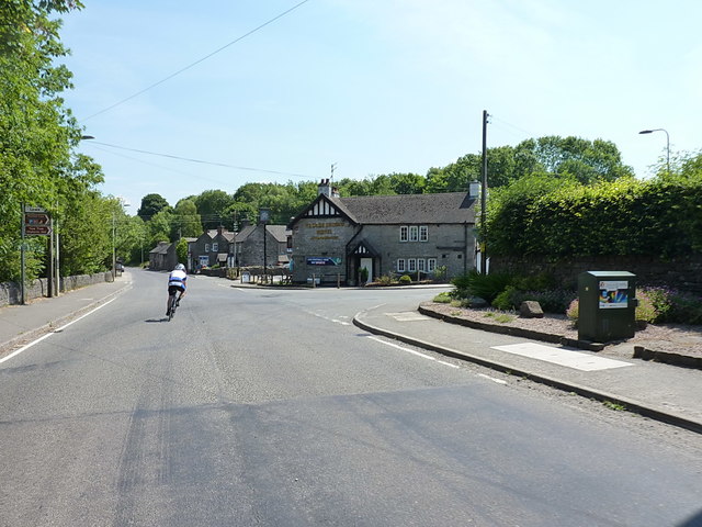
Known for its natural beauty and tranquil atmosphere, Cauldon offers stunning views of rolling hills, lush green meadows, and charming stone cottages. The village is surrounded by an abundance of outdoor recreational opportunities, making it a popular destination for hikers, cyclists, and nature enthusiasts.
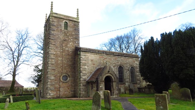
Cauldon is home to several historical landmarks, including the Grade II listed St. Mary's Church, which dates back to the 12th century. The church's architecture showcases a unique blend of Norman and Gothic styles, while its interior features beautiful stained glass windows and intricate woodwork.
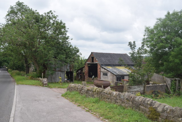
The village also boasts a rich industrial heritage, with the Cauldon Canal running through its heart. Constructed in the late 18th century, the canal was once a vital transportation route for the local pottery industry. Today, it offers a peaceful setting for leisurely walks and boat trips.
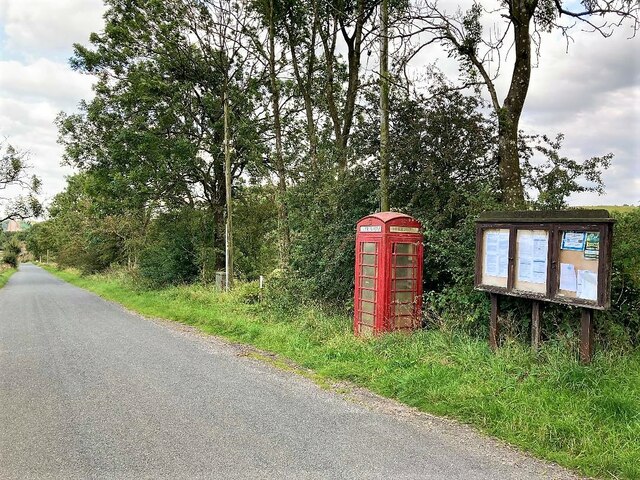
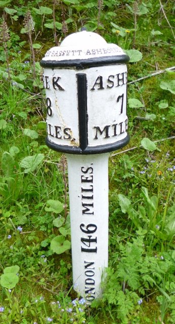
Despite its small size, Cauldon is well-served by amenities, including a primary school, a pub, and a village hall that hosts various community events. Nearby towns such as Leek and Ashbourne provide additional shopping and dining options.
In summary, Cauldon is a charming village surrounded by stunning natural landscapes, offering a peaceful retreat and a glimpse into Staffordshire's history and heritage.
If you have any feedback on the listing, please let us know in the comments section below.
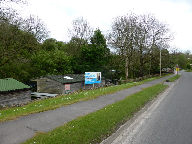
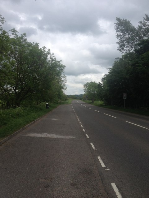
Cauldon Images
Images are sourced within 2km of 53.041439/-1.885719 or Grid Reference SK0749. Thanks to Geograph Open Source API. All images are credited.


Cauldon is located at Grid Ref: SK0749 (Lat: 53.041439, Lng: -1.885719)
Administrative County: Staffordshire
District: Staffordshire Moorlands
Police Authority: Staffordshire
What 3 Words
///ranches.alleges.commoners. Near Mayfield, Staffordshire
Nearby Locations
Related Wikis

Cauldon
Cauldon or Caldon is a village and former civil parish, 19 miles (31 km) north east of Stafford, now in the parish of Waterhouses, in the Staffordshire...

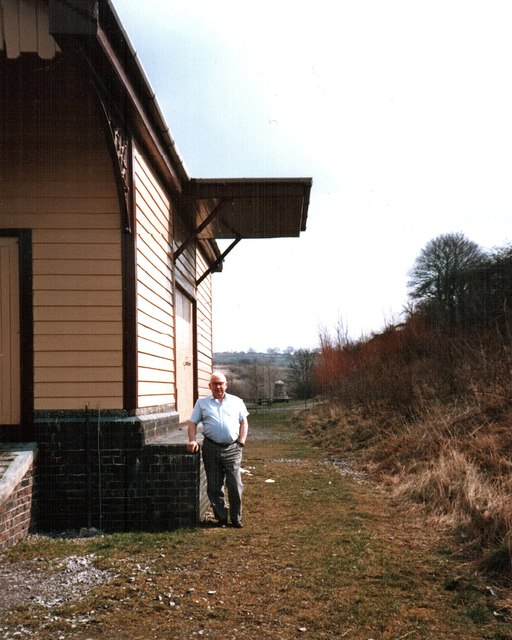
Caldon Low Halt railway station
Caldon Low Halt railway station was a railway station near the hamlet of Cauldon, Staffordshire. It was opened by the North Staffordshire Railway (NSR...
Back o'th' Brook
Back o'th' Brook is a village in Staffordshire, England. The population for the 2011 census can be found under Waterhouses
Waterhouses railway station (Staffordshire)
Waterhouses railway station was a railway station that served the village of Waterhouses, Staffordshire. It was opened jointly by the North Staffordshire...

Waterhouses, Staffordshire
Waterhouses is a village in the south of the Staffordshire Peak District in England. It is around 8 miles from Leek and Ashbourne, being nearly the halfway...
Brown End Quarry
Brown End Quarry is a nature reserve of the Staffordshire Wildlife Trust, near the village of Waterhouses in Staffordshire, England. It is designated a...
Leek and Manifold Valley Light Railway
The Leek and Manifold Valley Light Railway (L&MVLR) was a narrow gauge railway in Staffordshire, England that operated between 1904 and 1934. The line...
Broomyshaw
Broomyshaw is a village in Staffordshire, England. Population details for the 2011 census can be found under Waterhouses, Staffordshire
Nearby Amenities
Located within 500m of 53.041439,-1.885719Have you been to Cauldon?
Leave your review of Cauldon below (or comments, questions and feedback).