Cauldon Lowe

Settlement in Staffordshire Staffordshire Moorlands

England

Cauldon Lowe

View from Ellastone Road at Windy Harbour Looking north east with the low buildings of Moorend Farm in the centre ahead. A plume of smoke is coming from the cement works at Cauldon with its enormous limestone quarry eating up Cauldon Low - the high area to the right of the shot. On the left emerging from behind a tree is the row of cottages on Stony Lane, Moorend which are also seen in <a href="https://www.geograph.org.uk/photo/2966784">SK0648 : Terraced houses at Stony Lane, Moorend</a> and <a href="https://www.geograph.org.uk/photo/4458833">SK0648 : Terraced houses on Stony Lane</a>
View from Ellastone Road at Windy Harbour Credit: Trevor Harris

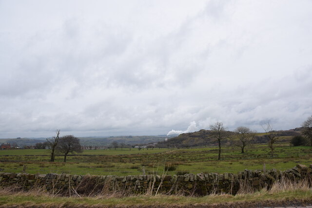
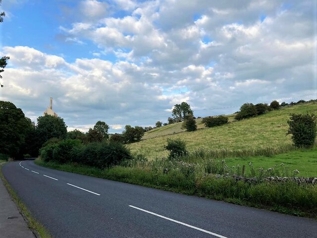
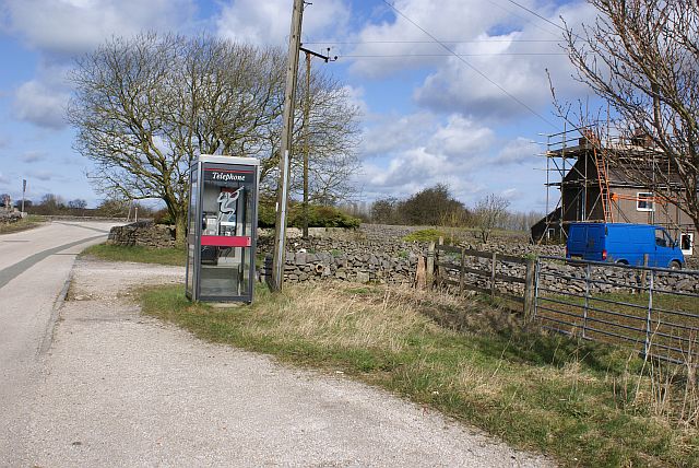
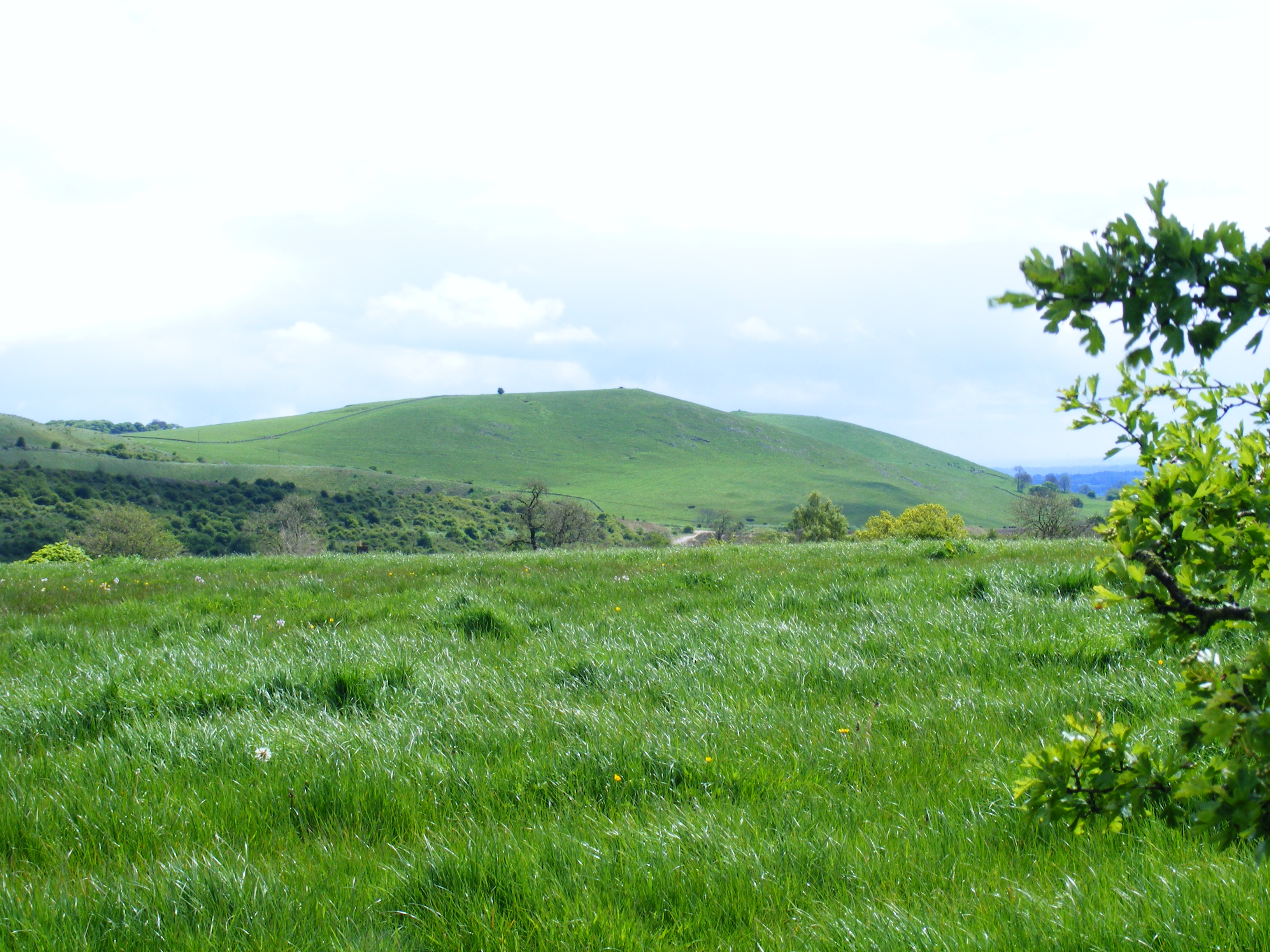
Cauldon Lowe is a small village located in the Staffordshire Moorlands district of Staffordshire, England. Situated on a hill and surrounded by picturesque countryside, the village offers stunning views of the surrounding area. It is part of the larger civil parish of Cauldon.

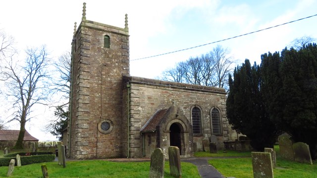
The village is known for its historical significance, as it was once home to Cauldon Lowe Castle, a medieval fortress that was built in the 12th century. Although the castle is now in ruins, its remnants add to the village's charm and attract visitors interested in history.

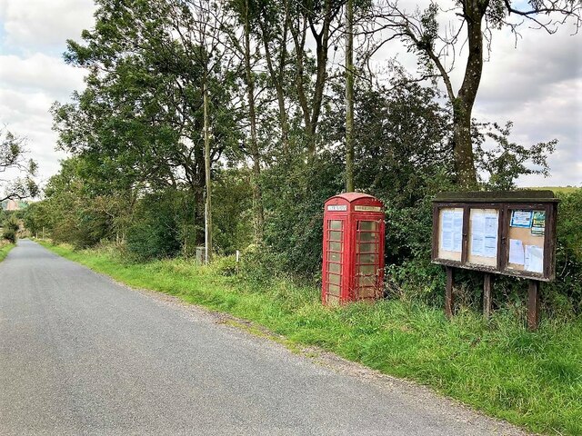
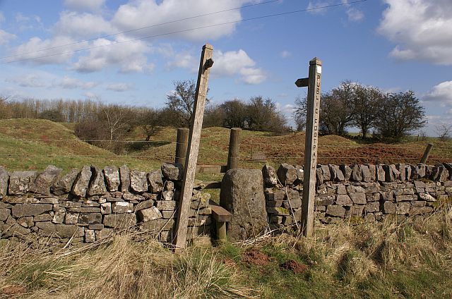
Cauldon Lowe is a close-knit community with a population of around 300 residents. The village has a primary school, a church, and a local pub, which serves as a meeting place for locals and visitors alike. The area is also popular with hikers and nature enthusiasts, as there are several scenic walking trails that start from the village and explore the surrounding countryside.

In terms of amenities, Cauldon Lowe is located near the towns of Stoke-on-Trent and Leek, where residents can find a wider range of shops, restaurants, and entertainment options. The village is well-connected by road, with the A52 and A523 providing easy access to nearby towns and cities.

Overall, Cauldon Lowe offers a peaceful and idyllic setting, making it an attractive place to live for those seeking a quiet rural lifestyle while still having access to nearby amenities.

If you have any feedback on the listing, please let us know in the comments section below.
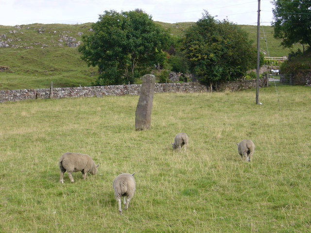
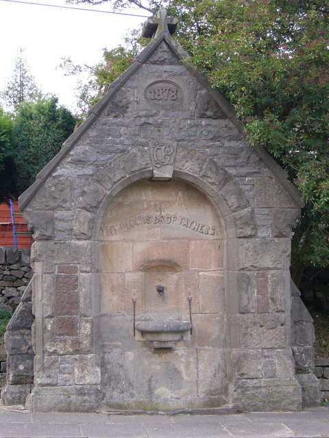
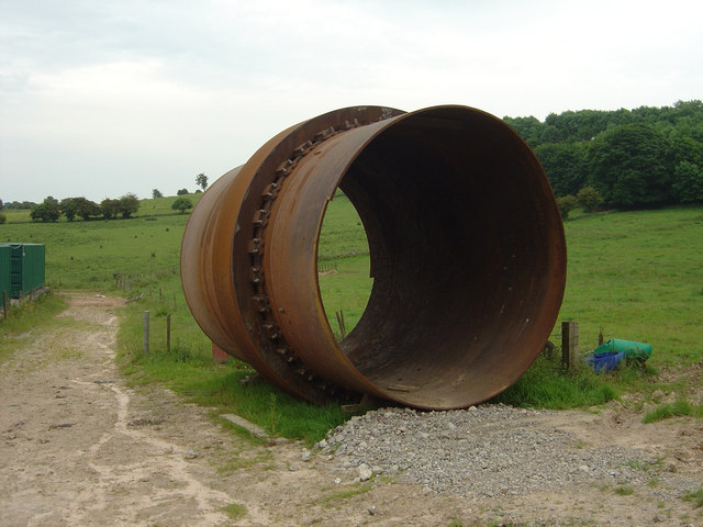
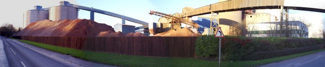
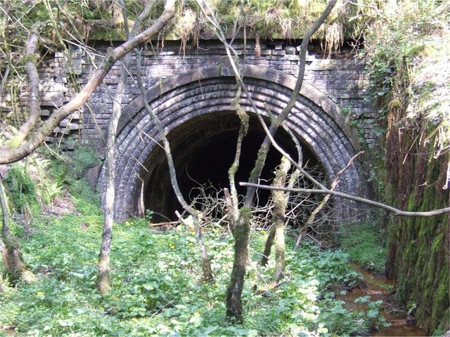
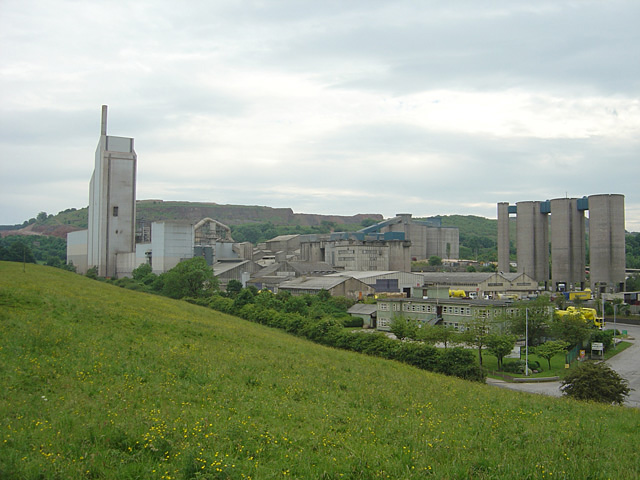
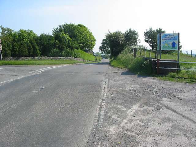
Cauldon Lowe Images

Images are sourced within 2km of 53.028784/-1.879385 or Grid Reference SK0847. Thanks to Geograph Open Source API. All images are credited.

View from Ellastone Road at Windy Harbour Looking north east with the low buildings of Moorend Farm in the centre ahead. A plume of smoke is coming from the cement works at Cauldon with its enormous limestone quarry eating up Cauldon Low - the high area to the right of the shot. On the left emerging from behind a tree is the row of cottages on Stony Lane, Moorend which are also seen in <a href="https://www.geograph.org.uk/photo/2966784">SK0648 : Terraced houses at Stony Lane, Moorend</a> and <a href="https://www.geograph.org.uk/photo/4458833">SK0648 : Terraced houses on Stony Lane</a>
View from Ellastone Road at Windy Harbour
Looking north east with the low buildings of Moorend Farm in the centre ahead. A plume of smoke is coming from the cement works at Cauldon with its enormous limestone quarry eating up Cauldon Low - the high area to the right of the shot. On the left emerging from behind a tree is the row of cottages on Stony Lane, Moorend which are also seen in SK0648 : Terraced houses at Stony Lane, Moorend and SK0648 : Terraced houses on Stony Lane
Telephone Box and Notice Board at Moorend Located on Stoney Lane at the western edge of the grid square.
Telephone Box and Notice Board at Moorend
Located on Stoney Lane at the western edge of the grid square.
Main Road near Cauldon Looking east with one of the chimneys associated with the cement works visible.
Main Road near Cauldon
Looking east with one of the chimneys associated with the cement works visible.
Cauldon - St Mary & St Laurence Church
Standing stone and sheep opposite The Cross public house at Hoften's Cross near Cauldon. Not marked on the map but the stone may well be Bronze Age or thereabouts.
Standing stone and sheep
opposite The Cross public house at Hoften's Cross near Cauldon. Not marked on the map but the stone may well be Bronze Age or thereabouts.
Drinking fountain a rather urban looking drinking fountain beside the main road through Cauldon, Staffordshire. Inscriptions are: "1878", "CB" monogram - presumably the benefactor and "thy clouds drop fatness" - Psalm 65 v 12 in the 1662 Book of Common Prayer version.
Drinking fountain
a rather urban looking drinking fountain beside the main road through Cauldon, Staffordshire. Inscriptions are: "1878", "CB" monogram - presumably the benefactor and "thy clouds drop fatness" - Psalm 65 v 12 in the 1662 Book of Common Prayer version.
Cauldon Cement Works Waterhouses, Staffordshire. Operated by Lafarge Cement using the Blue Circle brand name. Seen from the end of Cow Lane.
Cauldon Cement Works
Waterhouses, Staffordshire. Operated by Lafarge Cement using the Blue Circle brand name. Seen from the end of Cow Lane.
Rotary Kiln section This section of a rotary kiln from the Lafarge/Blue Circle works at Cauldon has been dumped on farmland close to the works. It is approximately 4 metres high. It could well be the section of the current kiln which was replaced during early 2005.
Rotary Kiln section
This section of a rotary kiln from the Lafarge/Blue Circle works at Cauldon has been dumped on farmland close to the works. It is approximately 4 metres high. It could well be the section of the current kiln which was replaced during early 2005.
Lafarge Cement Works At Cauldon Panorama made up of four images.
Lafarge Cement Works At Cauldon
Panorama made up of four images.
A quiet section of the A52 Standing on the cattle grid where the road from the Weaver Hills joins the A52. This section of the road is so much quieter than further east towards Ashbourne and Derby.
A quiet section of the A52
Standing on the cattle grid where the road from the Weaver Hills joins the A52. This section of the road is so much quieter than further east towards Ashbourne and Derby.
Telephone box on the road to Wardlow Quarry Looking in the direction of the A52 with Red House to the right.
Telephone box on the road to Wardlow Quarry
Looking in the direction of the A52 with Red House to the right.
Footpath north of the A52 This footpath leads off north from the A52 towards the massive Caldonlow Quarries. In the other direction, the footpath crosses the A52 to follow a lane down to Wardlow Quarry.
Footpath north of the A52
This footpath leads off north from the A52 towards the massive Caldonlow Quarries. In the other direction, the footpath crosses the A52 to follow a lane down to Wardlow Quarry.
Southeastern edge of Wardlow Quarry This limestone quarry spans several squares. The larger,northern section of the quarry is hidden from view.
Southeastern edge of Wardlow Quarry
This limestone quarry spans several squares. The larger,northern section of the quarry is hidden from view.
Southeastern end of Wardlow quarry A better view of the southeastern end of Wardlow quarry, which intrudes into four grid squares.
Southeastern end of Wardlow quarry
A better view of the southeastern end of Wardlow quarry, which intrudes into four grid squares.
Entrance to Trubshaw's Tunnel Trubshaw's Tunnel was dug for the 1847 Caldon Low railway. The railway was a self-acting inclined plane, where empty wagons travelling upward were attached by a cable via a brake drum at the top of the plane to wagons loaded with limestone travelling downwards.
Entrance to Trubshaw's Tunnel
Trubshaw's Tunnel was dug for the 1847 Caldon Low railway. The railway was a self-acting inclined plane, where empty wagons travelling upward were attached by a cable via a brake drum at the top of the plane to wagons loaded with limestone travelling downwards.
Crushing plant at Caldon Low Quarry The hill from which this quarry derives its name - Caldon Low - is indeed spelt differently from the local village, Cauldon. The stone quarried here does have a reddish colouring, giving a distinctive colour to the quarry buildings.
Crushing plant at Caldon Low Quarry
The hill from which this quarry derives its name - Caldon Low - is indeed spelt differently from the local village, Cauldon. The stone quarried here does have a reddish colouring, giving a distinctive colour to the quarry buildings.
Cauldon Cement Works Now part of the Lafarge group, these works were previously part of the Blue Circle group.
Cauldon Cement Works
Now part of the Lafarge group, these works were previously part of the Blue Circle group.
Crossroads at Threelows This crossroads at Threelows sees a lot of traffic heading to and from the theme park at Alton Towers a few miles down the road.  The sign is for The Star camping and caravan site at Cotton.
Crossroads at Threelows
This crossroads at Threelows sees a lot of traffic heading to and from the theme park at Alton Towers a few miles down the road. The sign is for The Star camping and caravan site at Cotton.
Show me another place!

Cauldon Lowe is located at Grid Ref: SK0847 (Lat: 53.028784, Lng: -1.879385)

Administrative County: Staffordshire

District: Staffordshire Moorlands

Police Authority: Staffordshire

What 3 Words

///escapades.brotherly.spiking. Near Mayfield, Staffordshire

Related Wikis

Cauldon

Cauldon or Caldon is a village and former civil parish, 19 miles (31 km) north east of Stafford, now in the parish of Waterhouses, in the Staffordshire...

Caldon Low Halt railway station

Caldon Low Halt railway station was a railway station near the hamlet of Cauldon, Staffordshire. It was opened by the North Staffordshire Railway (NSR...

Weaver Hills

The Weaver Hills are a small range of hills in north east Staffordshire, England.The Weaver Hills are about 15 miles (24 km) east of Stoke-on-Trent and...

Broomyshaw

Broomyshaw is a village in Staffordshire, England. Population details for the 2011 census can be found under Waterhouses, Staffordshire

Cotton College

Cotton College was a Roman Catholic boarding school in Cotton, Staffordshire, United Kingdom. It was also known as Saint Wilfrid's College. The school...

Cotton, Staffordshire

Cotton is a village and civil parish in Staffordshire, England. It is about 5 miles (8.0 km) north-east of Cheadle. Cotton Hall, originally built in the...

Waterhouses railway station (Staffordshire)

Waterhouses railway station was a railway station that served the village of Waterhouses, Staffordshire. It was opened jointly by the North Staffordshire...

Waterhouses, Staffordshire

Waterhouses is a village in the south of the Staffordshire Peak District in England. It is around 8 miles from Leek and Ashbourne, being nearly the halfway...

Nearby Amenities

Located within 500m of 53.028784,-1.879385
Bus Stop
Wardlow Turn
Bench: no
Bin: no
Bus: yes
Naptan AtcoCode: 3800C816200
Naptan Bearing: NW
Naptan CommonName: Wardlow Turn
Naptan Indicator: Adj
Naptan Landmark: Wardlow Turn
Naptan Street: Main Rd
Naptan Verified: no
Public Transport: platform
Shelter: yes
Source: naptan_import
Tactile Paving: no
Lat/Long: 53.0279133/-1.8758212
Barrier: stile
Material: wood
Source: survey;gps
Stile: stepover
Lat/Long: 53.0263571/-1.8800222
Barrier: stile
Material: wood
Source: survey;gps
Step Count: 1
Stile: stepover
Lat/Long: 53.0273744/-1.8830454
Barrier: stile
Material: wood
Source: survey;gps
Step Count: 1
Stile: stepover
Lat/Long: 53.027492/-1.8830953
Barrier: stile
Material: stone
Source: survey;gps
Stile: stepover
Lat/Long: 53.0300042/-1.8833435
Give Way
Direction: backward
Lat/Long: 53.0271897/-1.8744818
Rue Hill
Place: locality
Lat/Long: 53.0254745/-1.8752075
The data included in this document is from www.openstreetmap.org. The data is made available under ODbL.

Have you been to Cauldon Lowe?

Leave your review of Cauldon Lowe below (or comments, questions and feedback).