Balbarton Brae

Wood, Forest in Fife

Scotland

Balbarton Brae

Fields parallel to B925 near Auchtertool
Fields parallel to B925 near Auchtertool Credit: Becky Williamson

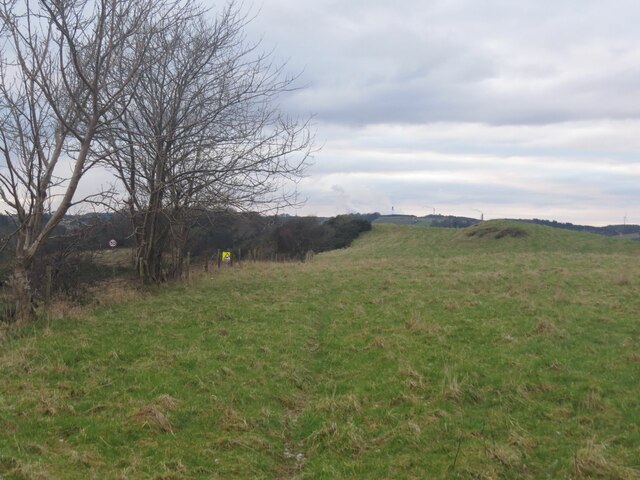
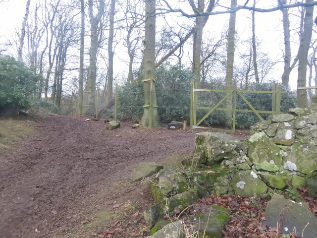
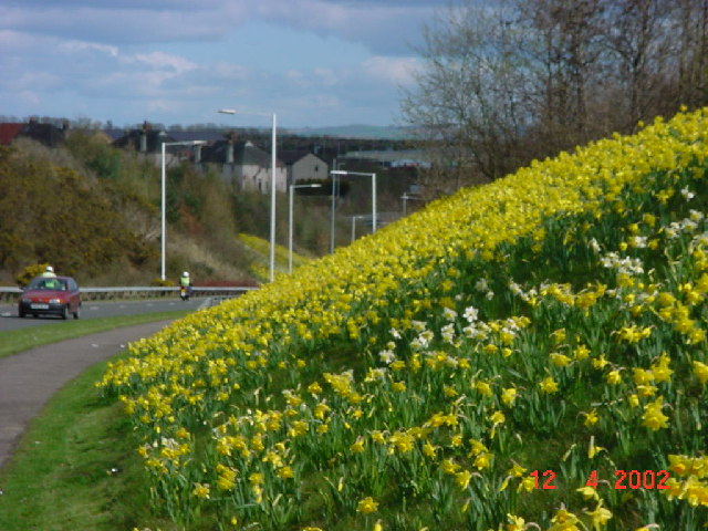
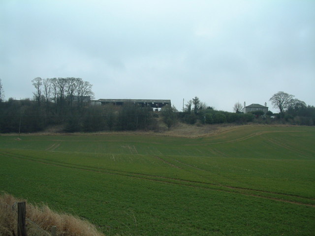
Balbarton Brae is a picturesque woodland area located in Fife, Scotland. Situated near the town of Cupar, this enchanting forest covers an approximate area of 120 acres and is renowned for its natural beauty and diverse flora and fauna.

The forest is predominantly composed of deciduous trees, including oak, beech, and birch, which create a vibrant and colorful canopy during the autumn months. The woodland floor is carpeted with wildflowers, mosses, and ferns, adding to its allure and providing a habitat for a variety of small mammals, birds, and insects.

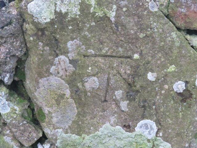
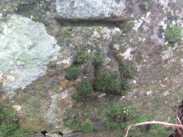
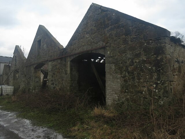
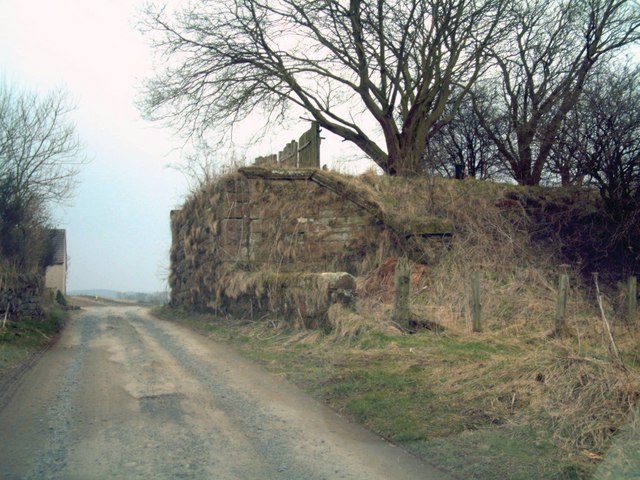
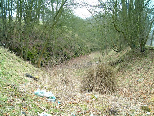
Several walking trails wind their way through Balbarton Brae, allowing visitors to explore the forest's scenic landscapes and discover its hidden gems. The paths are well-maintained, making it accessible to both casual walkers and more experienced hikers. Along these trails, one can encounter babbling brooks, ancient stone bridges, and even the remnants of a historic kiln, providing glimpses into the area's rich past.

Birdwatchers will delight in the diverse avian population that calls Balbarton Brae home. Species such as woodpeckers, owls, and various songbirds can be spotted and heard throughout the forest, adding a melodic soundtrack to any visit.

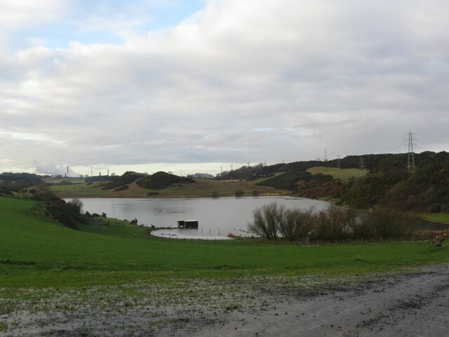
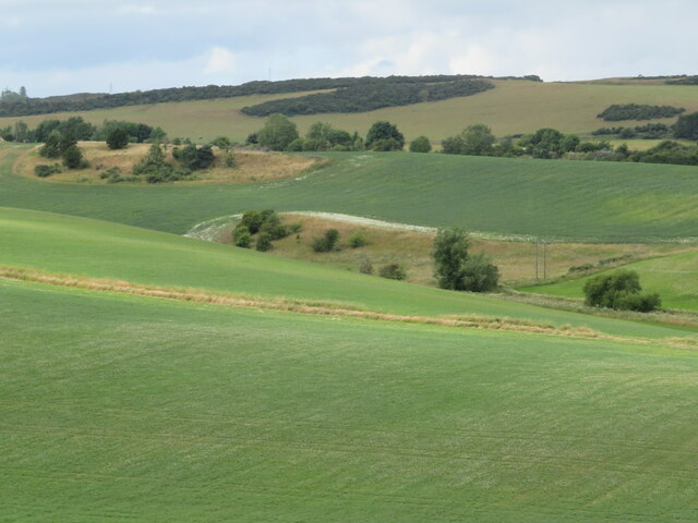
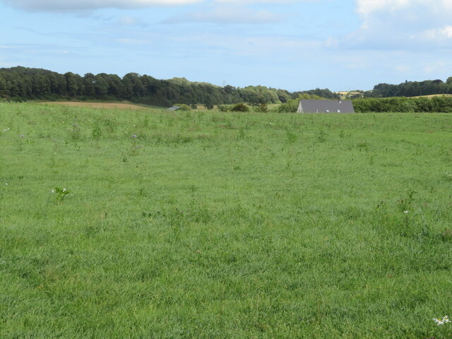
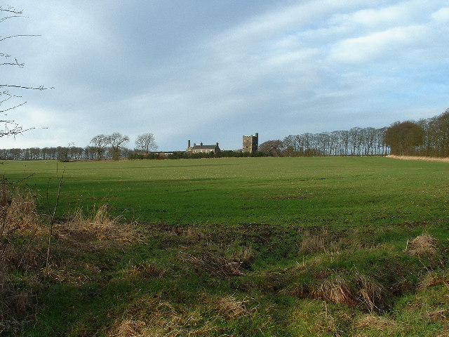
Balbarton Brae is not only a haven for nature lovers but also for those seeking tranquility and a break from the hustle and bustle of everyday life. Its secluded location and peaceful ambiance make it an ideal spot for meditation, picnicking, or simply taking in the natural beauty that surrounds it.

Overall, Balbarton Brae in Fife offers a captivating woodland retreat, where visitors can immerse themselves in the wonders of nature and experience the soothing effects of this idyllic forest setting.

If you have any feedback on the listing, please let us know in the comments section below.

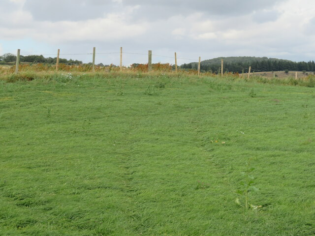
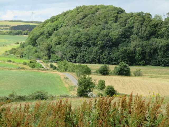
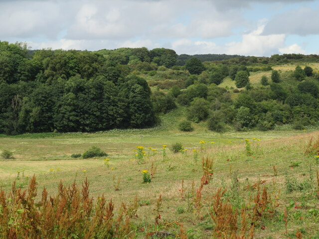
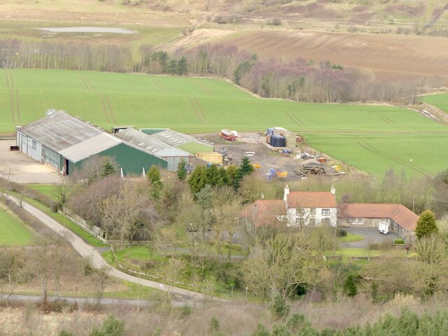
Balbarton Brae Images

Images are sourced within 2km of 56.11066/-3.2195378 or Grid Reference NT2491. Thanks to Geograph Open Source API. All images are credited.

Fields parallel to B925 near Auchtertool
Camilla Loch
Camilla Loch
Benchmark, Lambswell Wood Ordnance Survey benchmark, described on database at <span class="nowrap"><a title="https://www.bench-marks.org.uk/bm147458" rel="nofollow ugc noopener" href="https://www.bench-marks.org.uk/bm147458">Link</a><img style="margin-left:2px;" alt="External link" title="External link - shift click to open in new window" src="https://s1.geograph.org.uk/img/external.png" width="10" height="10"/></span>. sEE ALSO <a href="https://www.geograph.org.uk/photo/7005710">NT2391 : Lambswell Wood, near Newbigging</a>.
Benchmark, Lambswell Wood
Ordnance Survey benchmark, described on database at LinkExternal link. sEE ALSO NT2391 : Lambswell Wood, near Newbigging.
Benchmark, West Balbarton farm Ordnance Survey benchmark, described on database at <span class="nowrap"><a title="https://www.bench-marks.org.uk/bm158520" rel="nofollow ugc noopener" href="https://www.bench-marks.org.uk/bm158520">Link</a><img style="margin-left:2px;" alt="External link" title="External link - shift click to open in new window" src="https://s1.geograph.org.uk/img/external.png" width="10" height="10"/></span>. See also <a href="https://www.geograph.org.uk/photo/7005716">NT2391 : West Balbarton Farm buildings, near Newbigging</a>.
Benchmark, West Balbarton farm
Ordnance Survey benchmark, described on database at LinkExternal link. See also NT2391 : West Balbarton Farm buildings, near Newbigging.
Lambswell Wood, near Newbigging There is an Ordnance Survey benchmark on this crumbling wall in the wood (just visible if you look closely). See <a href="https://www.geograph.org.uk/photo/7005679">NT2391 : Benchmark, Lambswell Wood</a>.
Lambswell Wood, near Newbigging
There is an Ordnance Survey benchmark on this crumbling wall in the wood (just visible if you look closely). See NT2391 : Benchmark, Lambswell Wood.
West Balbarton Farm buildings, near Newbigging There is an Ordnance Survey benchmark on this farm building.
West Balbarton Farm buildings, near Newbigging
There is an Ordnance Survey benchmark on this farm building.
The valley of the Bottom Burn Undulating farmland downstream and east of Auchtertool and Newbigging.
The valley of the Bottom Burn
Undulating farmland downstream and east of Auchtertool and Newbigging.
Pasture near Lambert's Mill With the roof of the house in the dip beyond.
Pasture near Lambert's Mill
With the roof of the house in the dip beyond.
New grass field near Lambert's Mill
Kinuny Plantation Looking across the valley of the Bottom Burn, from near Lambert's Mill.
Kinuny Plantation
Looking across the valley of the Bottom Burn, from near Lambert's Mill.
The Kinuny Plantation Looking across the valley of the Bottom Burn, from near Lambert's Mill.
The Kinuny Plantation
Looking across the valley of the Bottom Burn, from near Lambert's Mill.
Kirkcaldy : Wester Bogie Road : Daffodils 300,000 daffodils in full bloom, planted in November 2001. Planted at a density of 30 bulbs per metre square, to give this intense effect.
Kirkcaldy : Wester Bogie Road : Daffodils
300,000 daffodils in full bloom, planted in November 2001. Planted at a density of 30 bulbs per metre square, to give this intense effect.
Kirkcaldy : Torbain Farm from Torbain Road looking towards the Tower at the Farm. The Tower is a schedule B listed monument.
Kirkcaldy : Torbain Farm
from Torbain Road looking towards the Tower at the Farm. The Tower is a schedule B listed monument.
Dunvegan Ave by Raith Modern housing on the former grounds of the old Raith House.
Dunvegan Ave by Raith
Modern housing on the former grounds of the old Raith House.
Old railway bridge Seen from the north, this is all that remains of the bridge that once carried a railway over the road to Clentrie Farm
Old railway bridge
Seen from the north, this is all that remains of the bridge that once carried a railway over the road to Clentrie Farm
Clentrie Farm
Clentrie Farm
Railway cutting A railway once ran along the space between the trees. It went under a road bridge to the left of the camera position here.
Railway cutting
A railway once ran along the space between the trees. It went under a road bridge to the left of the camera position here.
Show me another place!

Balbarton Brae is located at Grid Ref: NT2491 (Lat: 56.11066, Lng: -3.2195378)

Unitary Authority: Fife

Police Authority: Fife

What 3 Words

///pixel.splinters.confined. Near Kirkcaldy, Fife

Related Wikis

Raith, Fife

Raith (Scottish Gaelic: rĂ th, "fort" or "fortified residence"), as an area of Fife, once stretched from the lands of Little Raith (earlier Wester Raith...

Battle of Raith

The Battle of Raith was the theory of E. W. B. Nicholson, librarian at the Bodleian Library, Oxford. He was aware of the poem Y Gododdin in the Book of...

A921 road

The A921 road is a road that connects Kirkcaldy with the M90 motorway in Fife, Scotland. Before 1990, the road was classed as the A92. == References ==

Auchtertool

Auchtertool ( ; Scottish Gaelic: Uachdar Tuil) is a small village in Fife, Scotland. It is 4 miles west of Kirkcaldy. The name is from the Gaelic uachdar...

Nearby Amenities

Located within 500m of 56.11066,-3.2195378
Power: pole
Lat/Long: 56.1093865/-3.2267291
Power: pole
Lat/Long: 56.1092885/-3.2258345
Power: pole
Lat/Long: 56.1091892/-3.2249747
Power: pole
Lat/Long: 56.1090875/-3.2240628
Power: pole
Lat/Long: 56.1089834/-3.2231139
Power: pole
Lat/Long: 56.1088913/-3.222291
Power: pole
Lat/Long: 56.1087533/-3.2210263
Power: pole
Lat/Long: 56.108605/-3.2197083
Power: pole
Lat/Long: 56.1084585/-3.2184338
Power: pole
Lat/Long: 56.1083144/-3.2171223
Power: pole
Lat/Long: 56.1081631/-3.2158717
Power: pole
Lat/Long: 56.1080154/-3.2145038
Power: pole
Lat/Long: 56.1086419/-3.2237002
Power: pole
Lat/Long: 56.1080608/-3.2232941
Power: pole
Lat/Long: 56.1075305/-3.2235916
Power: pole
Lat/Long: 56.1070667/-3.2238587
The data included in this document is from www.openstreetmap.org. The data is made available under ODbL.

Have you been to Balbarton Brae?

Leave your review of Balbarton Brae below (or comments, questions and feedback).