Craigburn Wood

Wood, Forest in Peeblesshire

Scotland

Craigburn Wood

Old milestone On the grass verge just north of Blairburn is this fallen milestone set up by the Peebleshire Trust in the 19C.   It is marked on the 1897 OS map.   There is a 13 on the far face.  The stone is red sandstone with the edges chamfered.  The sides, rear and top of the stone have horizontal broaching.
Old milestone Credit: John Riddell

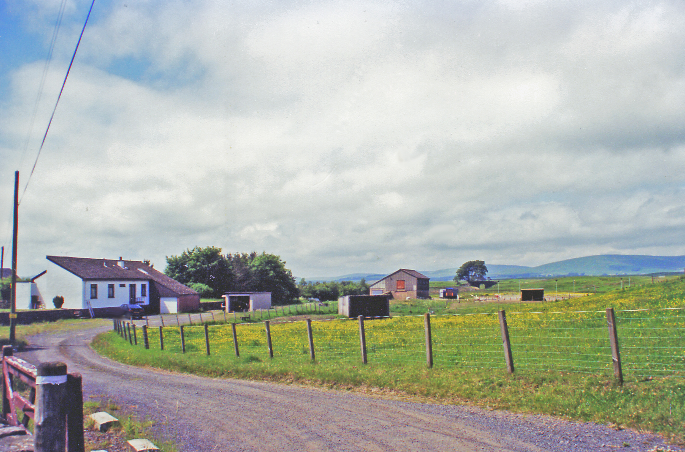
Craigburn Wood is a picturesque forest located in Peeblesshire, Scotland. Covering an area of approximately 100 hectares, this enchanting woodland is known for its natural beauty and diverse range of flora and fauna.

The woodland is primarily composed of native Scottish tree species such as oak, birch, and rowan, creating a rich and vibrant canopy overhead. Underneath, the forest floor is carpeted with a variety of wildflowers, mosses, and ferns, adding to its stunning visual appeal.

Craigburn Wood is home to a wide array of wildlife, making it a haven for nature enthusiasts and birdwatchers. Visitors may catch a glimpse of red squirrels, roe deer, and various bird species, including woodpeckers and owls. The tranquil atmosphere and peaceful surroundings make it a perfect spot for a leisurely stroll or a picnic amidst nature.

The forest also offers several well-marked trails that wind through its varied terrain. These paths cater to different levels of difficulty, accommodating both casual walkers and more experienced hikers. The trails provide breathtaking views of the surrounding countryside, including the rolling hills and the meandering River Tweed.

In addition to its natural beauty, Craigburn Wood holds historical significance. The remains of an ancient hillfort can be found within its boundaries, offering a glimpse into the area's rich past.

Overall, Craigburn Wood is a hidden gem in Peeblesshire, offering visitors a chance to immerse themselves in nature, discover the local wildlife, and explore the region's history.

If you have any feedback on the listing, please let us know in the comments section below.

Craigburn Wood Images

Images are sourced within 2km of 55.779467/-3.2099519 or Grid Reference NT2454. Thanks to Geograph Open Source API. All images are credited.

Old milestone On the grass verge just north of Blairburn is this fallen milestone set up by the Peebleshire Trust in the 19C.   It is marked on the 1897 OS map.   There is a 13 on the far face.  The stone is red sandstone with the edges chamfered.  The sides, rear and top of the stone have horizontal broaching.
Old milestone
On the grass verge just north of Blairburn is this fallen milestone set up by the Peebleshire Trust in the 19C. It is marked on the 1897 OS map. There is a 13 on the far face. The stone is red sandstone with the edges chamfered. The sides, rear and top of the stone have horizontal broaching.
Old milestone The position of the fallen milestone, 13 miles from Edinburgh, with the buildings of Blairburn in the distance.
Old milestone
The position of the fallen milestone, 13 miles from Edinburgh, with the buildings of Blairburn in the distance.
Lay-by on the A703
Lay-by on the A703
A703 towards Peebles
Old milestone In April this milestone on the north side of the A701 near Blairburn Farm was lying almost invisible in the verge.   Now, three strong men have dug it out and set it up in 20mm hardstone with some additional boulders.   The total length of the stone is 1.27m with only the top dressed 76cm now above ground.   The width and depth taper slightly from ground level to the top.
Old milestone
In April this milestone on the north side of the A701 near Blairburn Farm was lying almost invisible in the verge. Now, three strong men have dug it out and set it up in 20mm hardstone with some additional boulders. The total length of the stone is 1.27m with only the top dressed 76cm now above ground. The width and depth taper slightly from ground level to the top.
Old milestone The back, sides and top of this newly erected red sandstone milestone on the A701 have been decorated with horizontal broaching.  This picture also shows the top of the 50cm of hammer-dressed base before the hole was finally filled in.
Old milestone
The back, sides and top of this newly erected red sandstone milestone on the A701 have been decorated with horizontal broaching. This picture also shows the top of the 50cm of hammer-dressed base before the hole was finally filled in.
Old milestone A close-up of the top of the stone near Blairburn Farm on the A701.   Although there is some damage, the elegant 13 reminds travellers how far it is to or from Edinburgh.
Old milestone
A close-up of the top of the stone near Blairburn Farm on the A701. Although there is some damage, the elegant 13 reminds travellers how far it is to or from Edinburgh.
Woodland to the North of the A701 The Pentland Hills in the background
Woodland to the North of the A701
The Pentland Hills in the background
The A701 looking NE towards Leadburn
Grazing hillside and woodland to the SE of the A701
Track bed of the former Edinburgh to West Linton line
The eponymous Burn at Craigburn
Rough grazing for sheep at Craigburn
Radio repeater transmitter mast, sheep and the Moorfoot Hills I was unable to identify the nature of this transmitter, it does not correspond to a known TV repeater, maybe police/ambulance/other, and it does not appear on my maps so I have guesstimated the position based on bearing and altitude.  Any suggestions?
Radio repeater transmitter mast, sheep and the Moorfoot Hills
I was unable to identify the nature of this transmitter, it does not correspond to a known TV repeater, maybe police/ambulance/other, and it does not appear on my maps so I have guesstimated the position based on bearing and altitude. Any suggestions?
Moorland to the West of the Cockmuir road
Sheep may safely graze--on the old railway line from Edinburgh to Peebles Though it is strongly rumoured it may be re-instated as a prime commuter route one day.
Sheep may safely graze--on the old railway line from Edinburgh to Peebles
Though it is strongly rumoured it may be re-instated as a prime commuter route one day.
The former Borders railway line from Peebles to Edinburgh Sadly missed by many.
The former Borders railway line from Peebles to Edinburgh
Sadly missed by many.
Show me another place!

Craigburn Wood is located at Grid Ref: NT2454 (Lat: 55.779467, Lng: -3.2099519)

Unitary Authority: The Scottish Borders

Police Authority: The Lothians and Scottish Borders

What 3 Words

///workflow.sublet.erupts. Near Penicuik, Midlothian

Nearby Locations

Craigburn Wood

Related Wikis

Leadburn railway station

Leadburn railway station served the hamlet of Leadburn, Midlothian, Scotland from 1855 to 1962 on the Peebles Railway. == History == The station opened...

Wellington School, Midlothian

Wellington School, Midlothian, Scotland was a residential school for boys, owned by the City of Edinburgh Council and operated by the Council's Children...

Lamancha railway station

Lamancha railway station served the hamlet of Lamancha, Peeblesshire, Scotland, from 1864 to 1933 on the Leadburn, Linton and Dolphinton Railway. ��2...

Earlyvale Gate railway station

Earlyvale Gate railway station served the Dundas family residence in Earlyvale, Scottish Borders, Scotland for 8 months (June 1856 - February 1857) on...

Nearby Amenities

Located within 500m of 55.779467,-3.2099519
Power: pole
Lat/Long: 55.7805428/-3.2025159
Power: pole
Lat/Long: 55.7799808/-3.2031359
Power: pole
Lat/Long: 55.7788736/-3.2043858
Power: pole
Lat/Long: 55.7782668/-3.2050471
Power: pole
Lat/Long: 55.7778187/-3.2060794
Power: pole
Lat/Long: 55.7774014/-3.2071055
Power: pole
Lat/Long: 55.7769709/-3.2080872
Power: pole
Lat/Long: 55.7765429/-3.2090942
Power: pole
Lat/Long: 55.7760368/-3.2102905
Power: pole
Lat/Long: 55.7755549/-3.2114132
Power: pole
Lat/Long: 55.78248/-3.2147455
Power: pole
Lat/Long: 55.7818103/-3.2149226
Power: pole
Lat/Long: 55.7811285/-3.2151371
Man Made: mast
Tower Type: communication
Lat/Long: 55.7786789/-3.2148823
Power: pole
Lat/Long: 55.7804739/-3.215282
Power: pole
Lat/Long: 55.7797876/-3.2150432
Power: pole
Lat/Long: 55.7790635/-3.2147348
Power: pole
Lat/Long: 55.7783862/-3.214488
Power: pole
Lat/Long: 55.7778553/-3.2143056
Power: pole
Lat/Long: 55.7773122/-3.2145283
Power: pole
Lat/Long: 55.7756266/-3.2108294
Power: pole
Lat/Long: 55.7760783/-3.2097907
Power: pole
Lat/Long: 55.7765334/-3.2087053
Power: pole
Lat/Long: 55.7768998/-3.2078521
Power: pole
Lat/Long: 55.777316/-3.2068876
Power: pole
Lat/Long: 55.7777004/-3.2059743
Power: pole
Lat/Long: 55.778171/-3.2048474
Power: pole
Lat/Long: 55.7793144/-3.2036007
Power: pole
Lat/Long: 55.7799077/-3.2029383
Power: pole
Lat/Long: 55.7804825/-3.202293
Power: pole
Lat/Long: 55.778744/-3.2042364
Power: pole
Lat/Long: 55.779446/-3.2037398
The data included in this document is from www.openstreetmap.org. The data is made available under ODbL.

Have you been to Craigburn Wood?

Leave your review of Craigburn Wood below (or comments, questions and feedback).