Haw Moss
Wood, Forest in Dumfriesshire
Scotland
Haw Moss
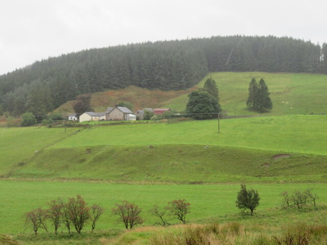
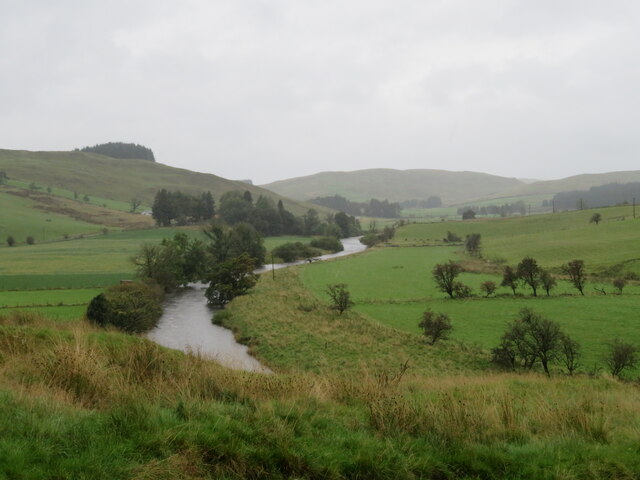
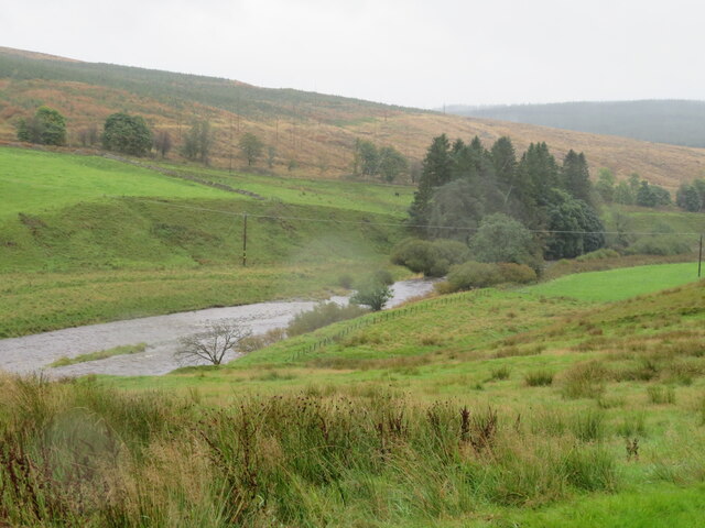
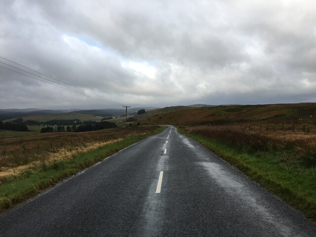
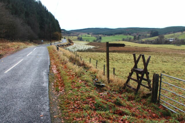
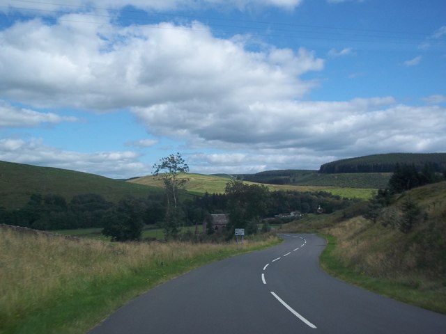
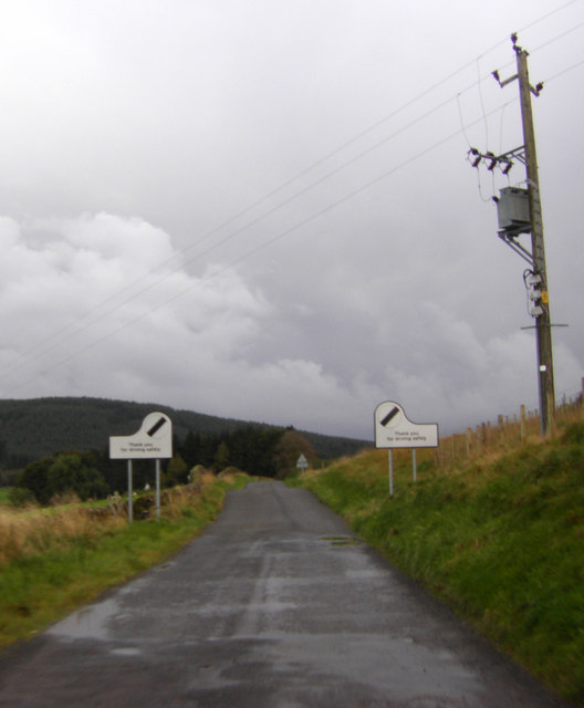
Haw Moss is a small woodland located in Dumfriesshire, Scotland. Spread over approximately 100 acres, it is a quintessential example of the natural beauty that the region has to offer. The woodland is situated close to the village of Templand, making it easily accessible for locals and visitors alike.
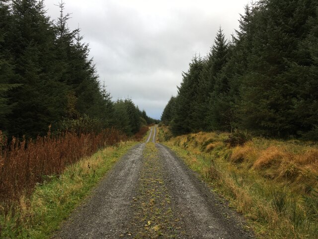
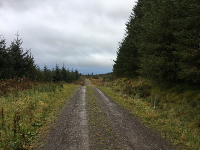
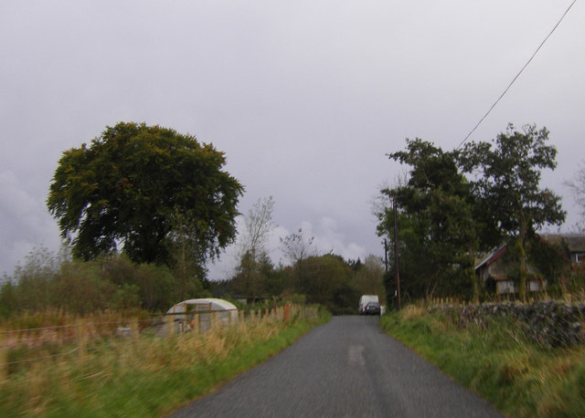
Haw Moss is characterized by its dense vegetation and diverse range of tree species. The woodland is predominantly composed of native trees such as oak, birch, and rowan, which create a rich and varied habitat for numerous wildlife species. The forest floor is covered in a thick carpet of moss, which adds to the enchanting atmosphere of the woodland.
The woodland is crisscrossed by a network of walking trails, allowing visitors to explore its hidden corners and discover its many delights. These trails are well-maintained and signposted, making navigation through the woodland a breeze. Along the way, walkers may encounter various wildlife species, including squirrels, deer, and a wide array of birdlife.
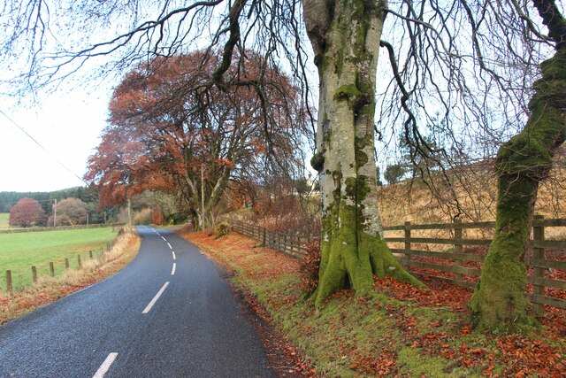
Haw Moss is not only a haven for nature enthusiasts but also a popular destination for photographers and artists seeking inspiration. The interplay of light and shadow, coupled with the vibrant colors of the changing seasons, provides a captivating backdrop for creative endeavors.
Overall, Haw Moss is a tranquil and captivating woodland that offers a peaceful retreat from the hustle and bustle of everyday life. Its natural beauty and diverse wildlife make it a must-visit destination for anyone seeking a connection with nature in Dumfriesshire.
If you have any feedback on the listing, please let us know in the comments section below.
Haw Moss Images
Images are sourced within 2km of 55.256485/-3.1925745 or Grid Reference NY2496. Thanks to Geograph Open Source API. All images are credited.


Haw Moss is located at Grid Ref: NY2496 (Lat: 55.256485, Lng: -3.1925745)
Unitary Authority: Dumfries and Galloway
Police Authority: Dumfries and Galloway
What 3 Words
///best.saloons.jots. Near Bentpath, Dumfries & Galloway
Nearby Locations
Related Wikis

Girdle Stanes
The Girdle Stanes (grid reference NY 25351 96153) is a stone circle near Eskdalemuir, Dumfries and Galloway. The western portion of the circle has been...

Holm, Inverness
Holm is a small residential area in the south of the city of Inverness, Scotland. The area lies east of the River Ness. The most prominent structure in...

Loupin Stanes
The Loupin Stanes (grid reference NY25709663) is a stone circle near Eskdalemuir, Dumfries and Galloway. Oval in shape, it consists of twelve stones set...
Eskdalemuir
Eskdalemuir is a civil parish and small village in Dumfries and Galloway, Scotland, with a population of 265. It is around 10 miles (16 km) north-west...

Castle O'er Forest
Castle O'er Forest is a forest south of Eskdalemuir, Dumfries and Galloway, in southern Scotland.It is bisected by the River Esk. Eskdalemuir Forest adjoins...

Kagyu Samye Ling Monastery and Tibetan Centre
Kagyu Samye Ling Monastery and Tibetan Centre is a Tibetan Buddhist complex associated with the Karma Kagyu school located at Eskdalemuir, Scotland....

Eskdalemuir Forest
Eskdalemuir Forest is a forest north of Eskdalemuir, Dumfries and Galloway, in southern Scotland. It was created as a private enterprise by the Economic...

Eskdalemuir Observatory
The Eskdalemuir Observatory is a UK national environmental observatory located near Eskdalemuir, Dumfries and Galloway, Scotland. Along with Lerwick and...
Nearby Amenities
Located within 500m of 55.256485,-3.1925745Have you been to Haw Moss?
Leave your review of Haw Moss below (or comments, questions and feedback).