Cormie Hill
Hill, Mountain in Fife
Scotland
Cormie Hill
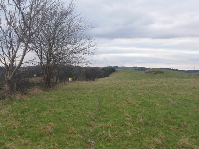
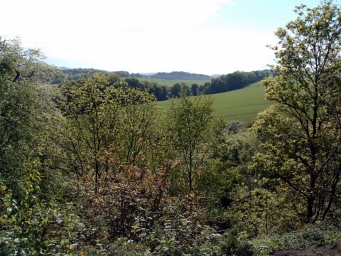
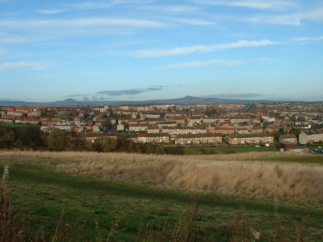
Cormie Hill is a small hill located in Fife, Scotland. It belongs to the Ochil Hills range and reaches an elevation of approximately 273 meters (896 feet) above sea level. Situated near the village of Gateside, Cormie Hill offers panoramic views of the surrounding countryside and is a popular destination for outdoor enthusiasts.
Covered in heather and grasses, the hill boasts a diverse range of flora and fauna. Visitors can spot various bird species, including skylarks, meadow pipits, and kestrels, as well as small mammals such as rabbits and hares. The hill is also home to several species of butterflies, adding to its natural beauty.
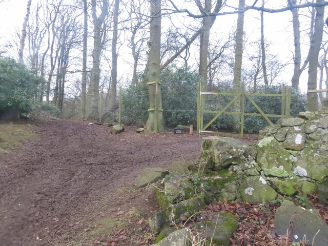
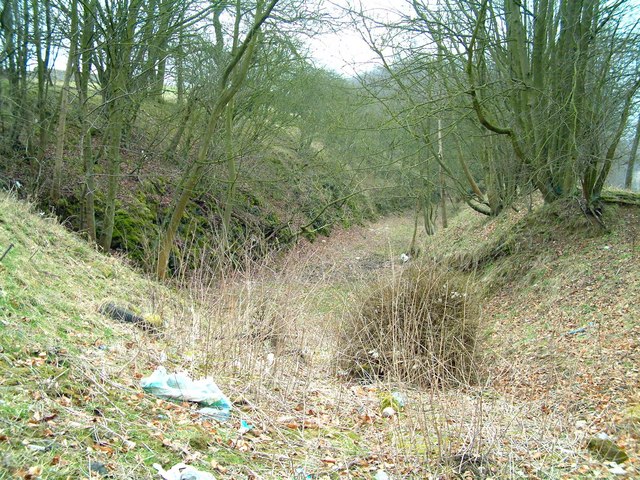
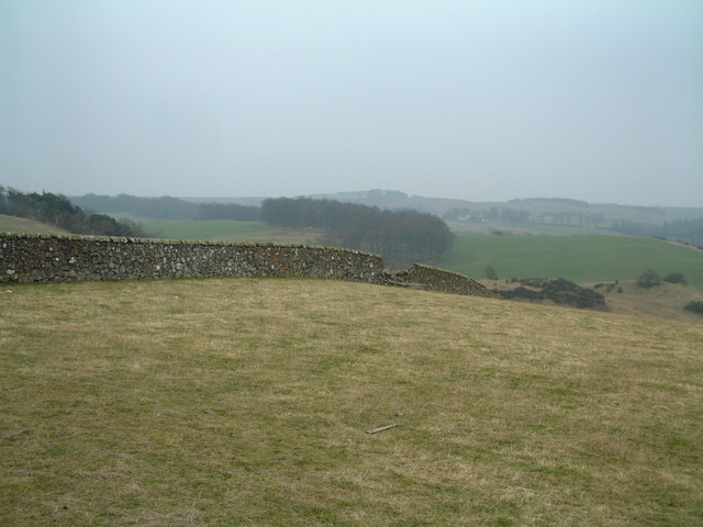
Cormie Hill provides opportunities for walking and hiking, with a network of trails that cater to different fitness levels. The paths are well-maintained and signposted, ensuring visitors can easily navigate the area. On a clear day, the summit of Cormie Hill offers breathtaking views of the surrounding countryside, including the Firth of Tay and the Lomond Hills.
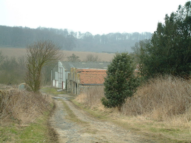
The hill is easily accessible, with a car park located at its base. From there, a footpath leads visitors up the hill, passing through woodlands and open fields. The climb is moderate, making it suitable for families and beginners. The hill is a fantastic spot for picnics and nature walks, offering a peaceful and serene environment away from the hustle and bustle of city life.
Overall, Cormie Hill in Fife is a picturesque natural attraction, providing a tranquil escape and stunning views for those who visit.
If you have any feedback on the listing, please let us know in the comments section below.
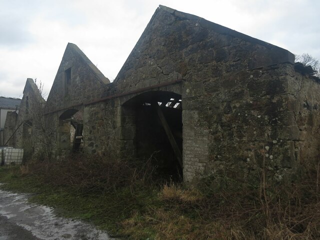
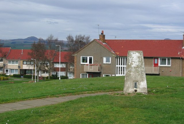
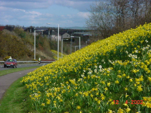
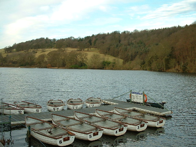
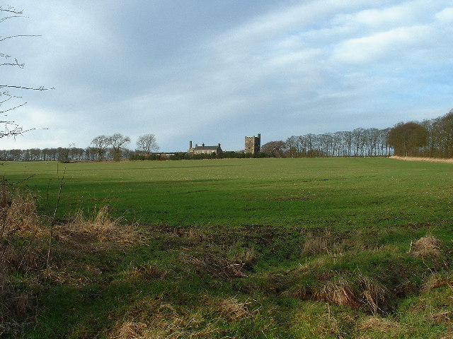
Cormie Hill Images
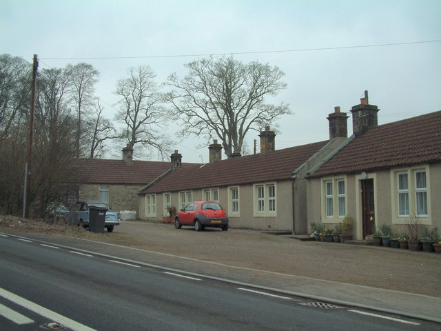
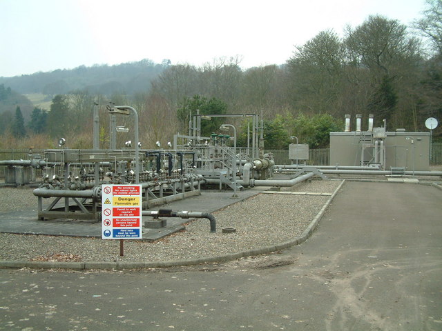
Images are sourced within 2km of 56.113771/-3.2092151 or Grid Reference NT2491. Thanks to Geograph Open Source API. All images are credited.
Cormie Hill is located at Grid Ref: NT2491 (Lat: 56.113771, Lng: -3.2092151)
Unitary Authority: Fife
Police Authority: Fife
What 3 Words
///wriggled.array.suitably. Near Kirkcaldy, Fife
Nearby Locations
Related Wikis

Battle of Raith
The Battle of Raith was the theory of E. W. B. Nicholson, librarian at the Bodleian Library, Oxford. He was aware of the poem Y Gododdin in the Book of...

A921 road
The A921 road is a road that connects Kirkcaldy with the M90 motorway in Fife, Scotland. Before 1990, the road was classed as the A92. == References ==

Raith, Fife
Raith (Scottish Gaelic: ràth, "fort" or "fortified residence"), as an area of Fife, once stretched from the lands of Little Raith (earlier Wester Raith...
Kirkcaldy RFC
Kirkcaldy Rugby Football Club is a rugby union club from Kirkcaldy, Fife, Scotland. The men's side currently plays in Scottish National League Division...

Kirkcaldy
Kirkcaldy ( kur-KAW-dee; Scots: Kirkcaldy; Scottish Gaelic: Cair Chaladain) is a town and former royal burgh in Fife, on the east coast of Scotland. It...

Kirkcaldy railway station
Kirkcaldy railway station is a railway station in the town of Kirkcaldy, Fife, Scotland. The station is managed by ScotRail and is on the Fife Circle Line...

Kirkcaldy Galleries
Kirkcaldy Galleries is the main museum, library and exhibition space in Kirkcaldy in Fife, Scotland. The land for the town's museum and art gallery was...
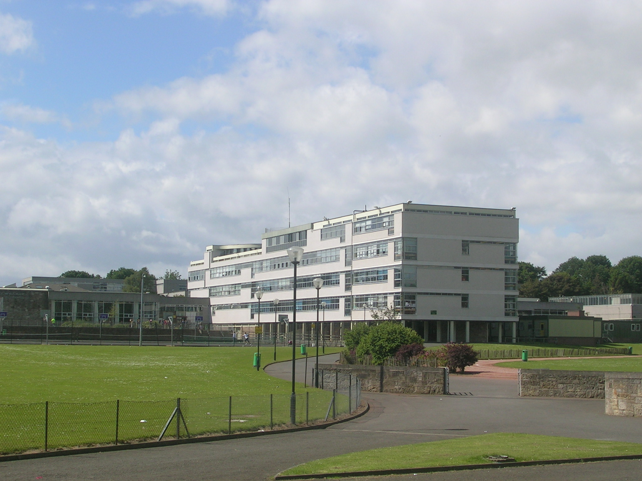
Balwearie High School
Balwearie High School is a non-denominational comprehensive secondary school at the west end of Kirkcaldy in Scotland. Balwearie serves around 1500 pupils...
Nearby Amenities
Located within 500m of 56.113771,-3.2092151Have you been to Cormie Hill?
Leave your review of Cormie Hill below (or comments, questions and feedback).