White Pike
Hill, Mountain in Lancashire South Lakeland
England
White Pike
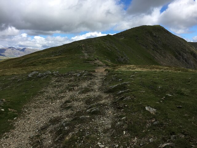
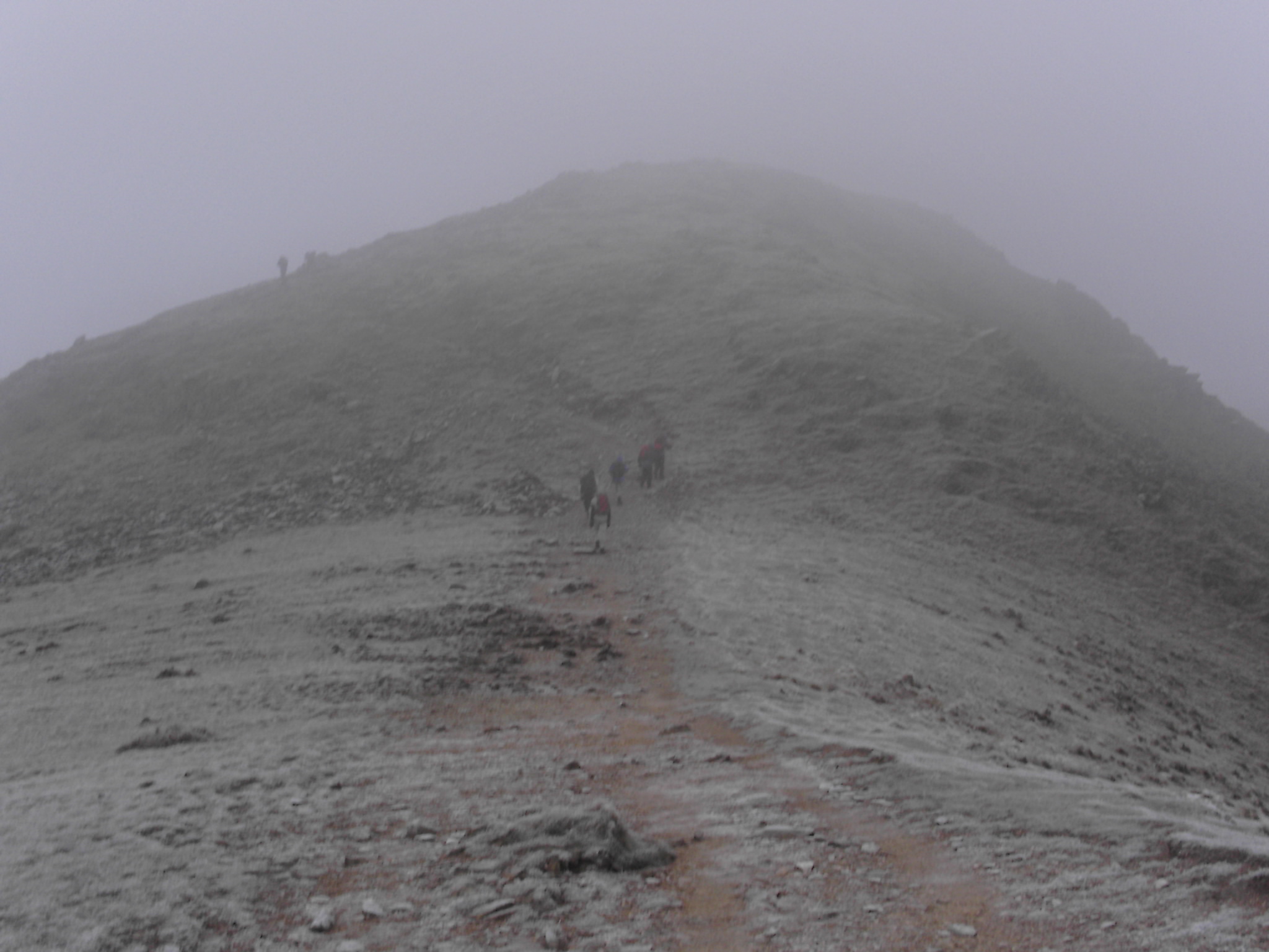
White Pike is a prominent hill located in Lancashire County, England. Standing at an elevation of 469 meters (1,539 feet), it is considered one of the highest hills in the region. The hill is situated within the Forest of Bowland Area of Outstanding Natural Beauty, a designated protected area known for its stunning landscapes and rich biodiversity.
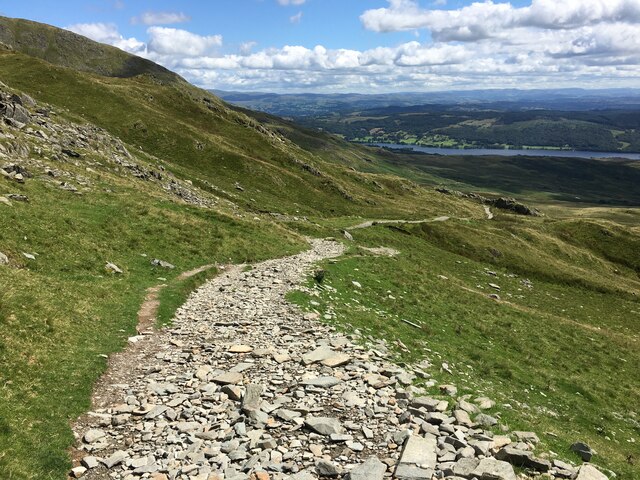
White Pike offers breathtaking panoramic views of the surrounding countryside, including the rolling green hills, picturesque valleys, and quaint rural villages that dot the landscape. Its summit provides an ideal vantage point for photography enthusiasts, hikers, and nature lovers, who are attracted to its natural beauty and tranquility.
The hill is easily accessible via several footpaths and trails that wind through the Forest of Bowland. These paths offer visitors the opportunity to explore the diverse flora and fauna that call the hill their home. The area is particularly renowned for its birdlife, with species such as peregrine falcons, buzzards, and curlews frequently spotted soaring above the hill.
White Pike also holds historical significance. The remains of an ancient hillfort can be found at its summit, believed to date back to the Iron Age. These archaeological features contribute to the hill's allure and offer visitors a glimpse into the area's rich past.
Overall, White Pike is a captivating destination that combines natural beauty, recreational opportunities, and historical significance. Whether it be for a leisurely stroll, a challenging hike, or simply to immerse oneself in the tranquility of nature, White Pike is a must-visit destination for anyone exploring Lancashire's outdoor offerings.
If you have any feedback on the listing, please let us know in the comments section below.
White Pike Images
Images are sourced within 2km of 54.350061/-3.1568783 or Grid Reference SD2495. Thanks to Geograph Open Source API. All images are credited.


White Pike is located at Grid Ref: SD2495 (Lat: 54.350061, Lng: -3.1568783)
Administrative County: Cumbria
District: South Lakeland
Police Authority: Cumbria
What 3 Words
///entire.sourcing.retrieves. Near Ambleside, Cumbria
Nearby Locations
Related Wikis

Brown Pike
Brown Pike is a fell located in the Lake District National Park in Cumbria, England. Brown Pike is near the village of Coniston, and is most commonly approached...

Walna Scar
Walna Scar is a hill in the English Lake District, lying just south of a pass of the same name in the Coniston Hills. Its summit at 2,035 feet (620 m)...

Seathwaite, Westmorland and Furness
Seathwaite is a village in the Dunnerdale-with-Seathwaite civil parish in the Westmorland and Furness district of Cumbria in North West England. It is...
Holy Trinity Church, Seathwaite
Holy Trinity Church is in the village of Seathwaite, Cumbria, England. It is an active Anglican parish church in the deanery of Furness, the archdeaconry...
Buck Pike
Buck Pike is a fell located in the Lake District National Park in Cumbria. Buck Pike is near the village of Coniston. Other fells in this area include...

Dunnerdale-with-Seathwaite
Dunnerdale-with-Seathwaite is a civil parish in the Westmorland and Furness district of the ceremonial county of Cumbria, England. It includes the village...

Caw (hill)
Caw is a hill in Cumbria, England, near the village of Seathwaite above the Duddon Valley, reaching 1,735 feet (529 m) and having a trig point at the summit...

Dow Crag
Dow Crag is a fell in the English Lake District near Coniston, Cumbria. The eastern face is one of the many rock faces in the Lake District used for rock...
Nearby Amenities
Located within 500m of 54.350061,-3.1568783Have you been to White Pike?
Leave your review of White Pike below (or comments, questions and feedback).