Raith Park
Downs, Moorland in Fife
Scotland
Raith Park
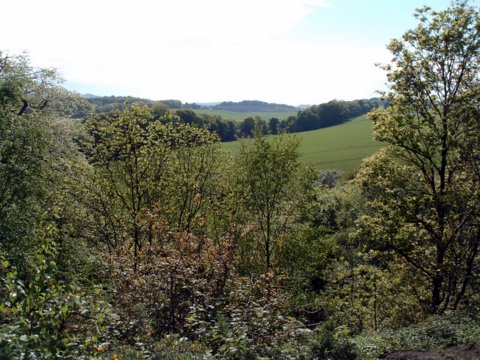
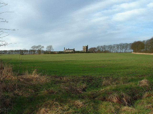
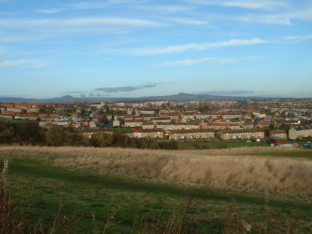
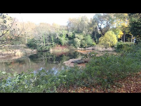
Raith Park is a picturesque recreational area located in Fife, Scotland. Spanning across vast downs and moorland, it offers visitors a diverse natural landscape to explore and enjoy. The park is situated in close proximity to the town of Kirkcaldy, making it easily accessible for both locals and tourists.
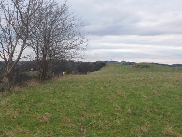
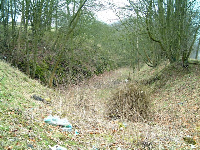
Covering an extensive area, Raith Park is known for its rolling downs, which provide panoramic views of the surrounding countryside. The downs are characterized by their lush green grass and are perfect for picnics, leisurely walks, and outdoor activities. Visitors can take in the fresh air and stunning vistas while enjoying a peaceful day in nature.
In addition to the downs, Raith Park boasts beautiful moorland, offering a different experience for nature enthusiasts. The moorland is covered in heather and other wildflowers, creating a colorful and vibrant landscape. This area is home to a variety of wildlife species, including birds, rabbits, and occasionally deer, making it a great spot for birdwatching and animal spotting.
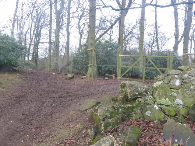
Raith Park is also equipped with well-maintained paths and trails, allowing visitors to explore the park at their own pace. These paths are suitable for walking, jogging, and cycling, providing options for those looking to engage in physical activity.
Overall, Raith Park in Fife is a haven for nature lovers, offering a blend of downs and moorland, breathtaking views, and recreational opportunities. Whether seeking tranquility or adventure, visitors to Raith Park are sure to find something to suit their interests in this captivating natural retreat.
If you have any feedback on the listing, please let us know in the comments section below.
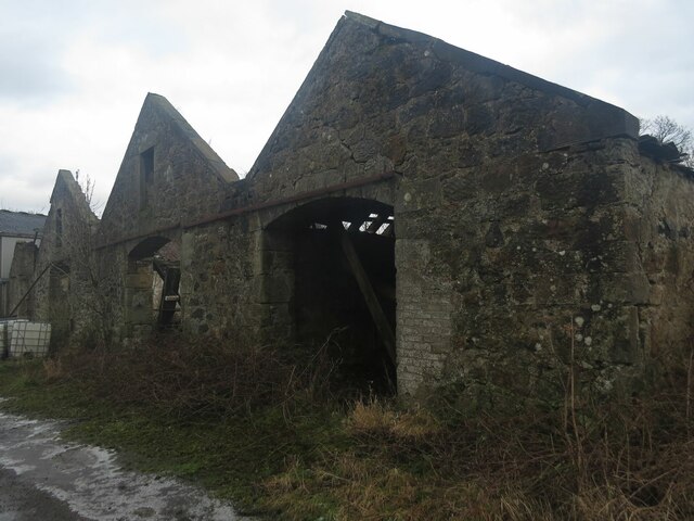
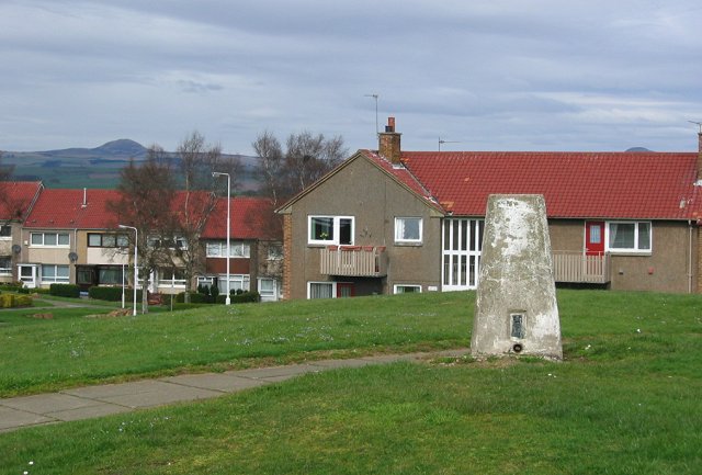
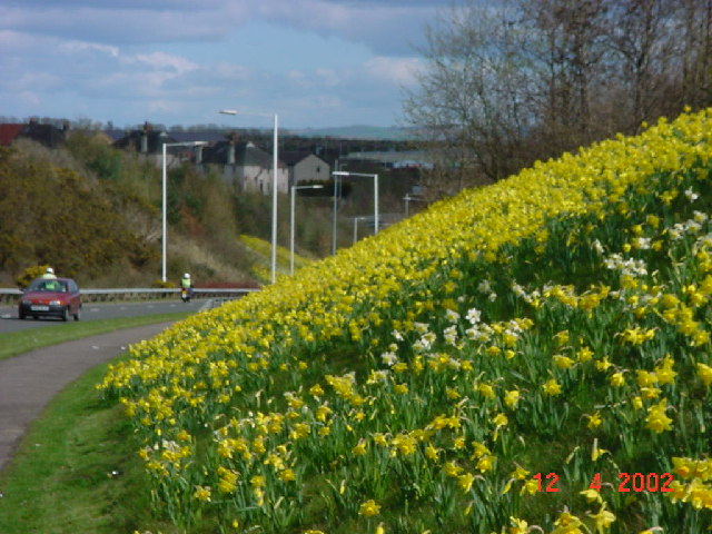
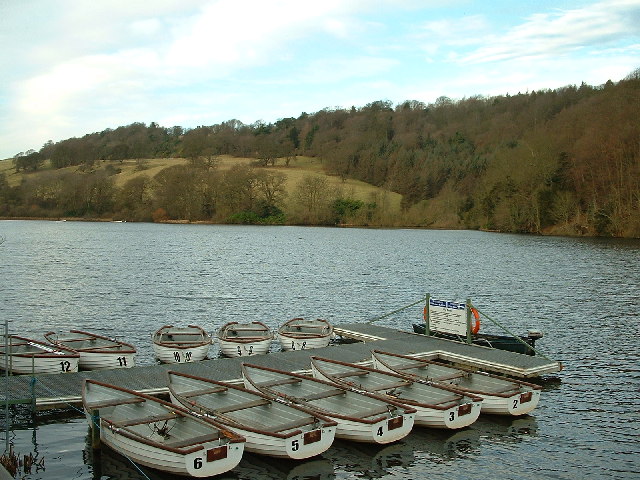
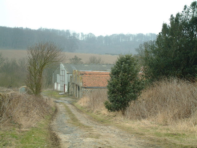
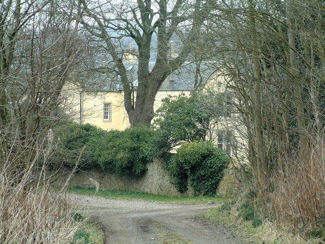
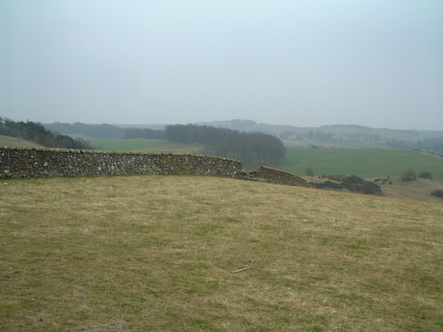
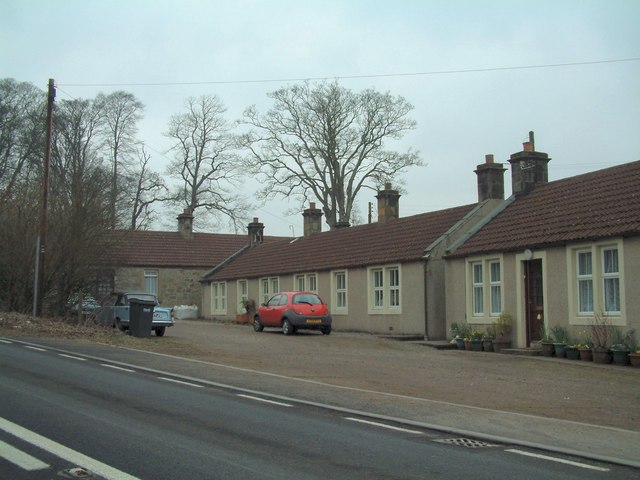
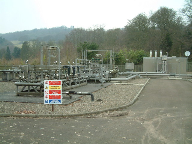
Raith Park Images
Images are sourced within 2km of 56.112654/-3.2086493 or Grid Reference NT2491. Thanks to Geograph Open Source API. All images are credited.
Raith Park is located at Grid Ref: NT2491 (Lat: 56.112654, Lng: -3.2086493)
Unitary Authority: Fife
Police Authority: Fife
What 3 Words
///hockey.pipe.redeemed. Near Kirkcaldy, Fife
Nearby Locations
Related Wikis

Battle of Raith
The Battle of Raith was the theory of E. W. B. Nicholson, librarian at the Bodleian Library, Oxford. He was aware of the poem Y Gododdin in the Book of...

A921 road
The A921 road is a road that connects Kirkcaldy with the M90 motorway in Fife, Scotland. Before 1990, the road was classed as the A92. == References ==

Raith, Fife
Raith (Scottish Gaelic: ràth, "fort" or "fortified residence"), as an area of Fife, once stretched from the lands of Little Raith (earlier Wester Raith...
Kirkcaldy RFC
Kirkcaldy Rugby Football Club is a rugby union club from Kirkcaldy, Fife, Scotland. The men's side currently plays in Scottish National League Division...

Kirkcaldy
Kirkcaldy ( kur-KAW-dee; Scots: Kirkcaldy; Scottish Gaelic: Cair Chaladain) is a town and former royal burgh in Fife, on the east coast of Scotland. It...

Kirkcaldy railway station
Kirkcaldy railway station is a railway station in the town of Kirkcaldy, Fife, Scotland. The station is managed by ScotRail and is on the Fife Circle Line...

Kirkcaldy Galleries
Kirkcaldy Galleries is the main museum, library and exhibition space in Kirkcaldy in Fife, Scotland. The land for the town's museum and art gallery was...
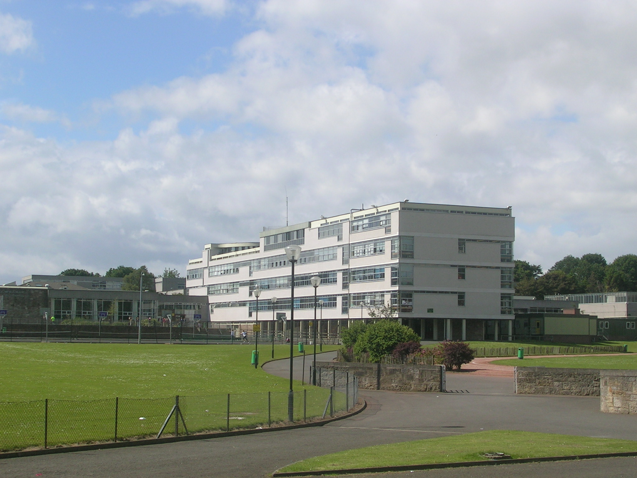
Balwearie High School
Balwearie High School is a non-denominational comprehensive secondary school at the west end of Kirkcaldy in Scotland. Balwearie serves around 1500 pupils...
Related Videos
Brilliance of the Seas Baltic Cruise - Helsinki Finland August 2019
A few pic of our trip to Helsinki Finland last year.

Feeding Pygmy Goats at The Buffalo Farm Kirkcaldy Scotland UK | Filipina Pandemic Travel Vlog
Get to know more here https://www.patreon.com/AdventuresOfaFilipina I'm from the Philippines and I travel frequently to the ...
The Beveridge Park, Kirkcaldy 07 11 2021
This video is of The Beveridge Park, Kirkcaldy 07-11-2021 The Distance travelled in this video is: 4.8045miles according to ...

SNIPZ Barbershop (Kirkcaldy) Charity Fundraiser Highlights! Santa Visit 2023
ADHD Media Events & Causes: "Inspiring Stories, Impactful Moments. ✂️ SNIPZ Barbershop Charity Fundraiser Highlights!
Nearby Amenities
Located within 500m of 56.112654,-3.2086493Have you been to Raith Park?
Leave your review of Raith Park below (or comments, questions and feedback).