Pyatcleuch Plantation

Wood, Forest in Dumfriesshire

Scotland

Pyatcleuch Plantation

B723 towards Lockerbie
B723 towards Lockerbie Credit: Steven Brown

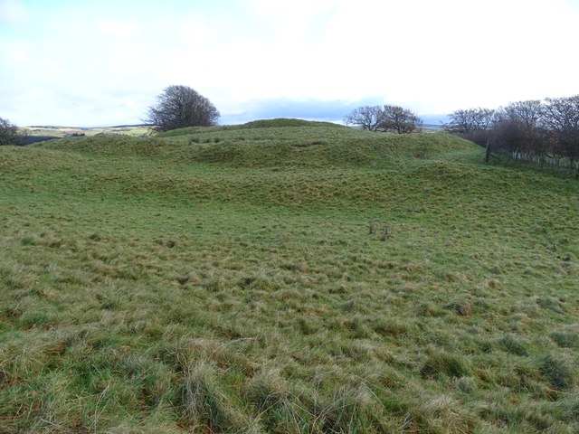
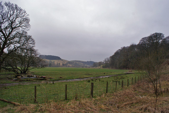
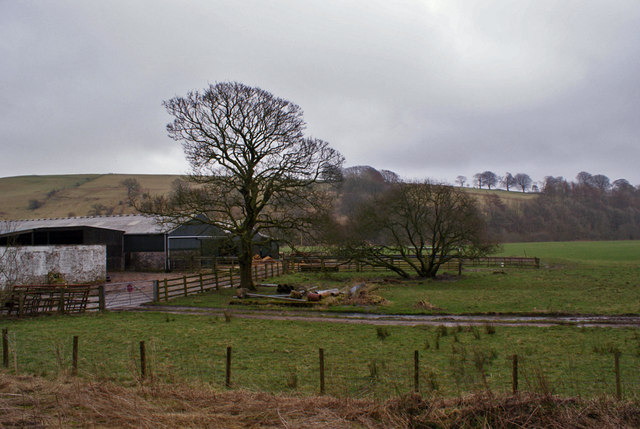
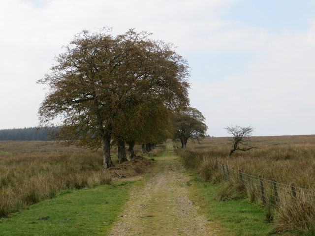
Pyatcleuch Plantation is a sprawling woodland area located in Dumfriesshire, a county in the southern part of Scotland. Covering a vast expanse, the plantation is a natural haven for a diverse range of flora and fauna. The plantation is primarily composed of native tree species, including oak, birch, and pine, which create a rich and varied ecosystem.

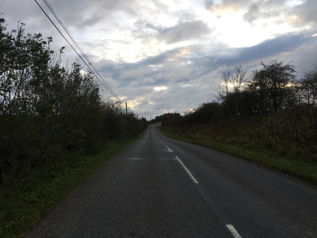
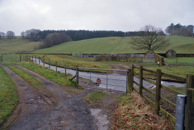
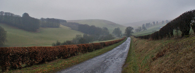
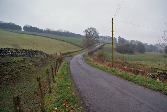
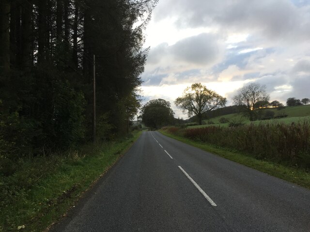
The woodland is crisscrossed by a network of well-maintained footpaths, making it an ideal destination for nature enthusiasts and hikers. These paths provide visitors with the opportunity to explore the plantation and discover its hidden treasures, such as peaceful glens, babbling brooks, and scenic viewpoints. The plantation also offers picnic areas and designated camping spots, allowing visitors to fully immerse themselves in the beauty of the surroundings.

Pyatcleuch Plantation is home to a wide array of wildlife, including red squirrels, deer, and various bird species. Nature lovers can expect to catch glimpses of these animals as they explore the woodland, adding to the enchantment of the experience. The plantation is also known for its vibrant wildflower displays, particularly in the spring and summer months, when the forest floor becomes a riot of colors.

Situated in a picturesque region of Dumfriesshire, Pyatcleuch Plantation offers a tranquil escape from the hustle and bustle of everyday life. Its natural beauty, diverse wildlife, and well-maintained pathways make it a popular destination for locals and tourists alike. Whether seeking solitude, a leisurely walk, or an adventurous hike, this woodland paradise has something to offer everyone.

If you have any feedback on the listing, please let us know in the comments section below.

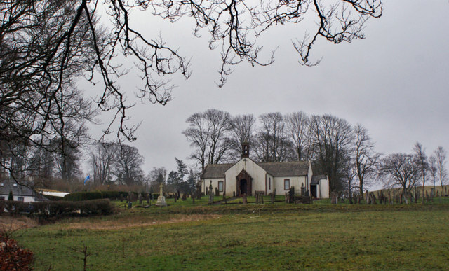
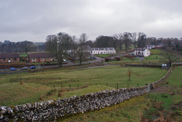
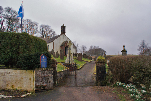
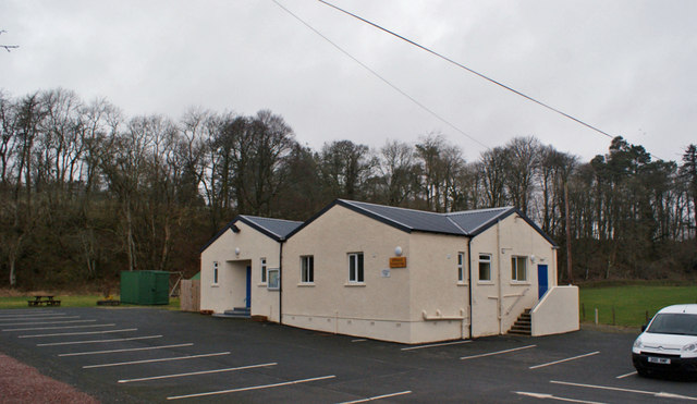
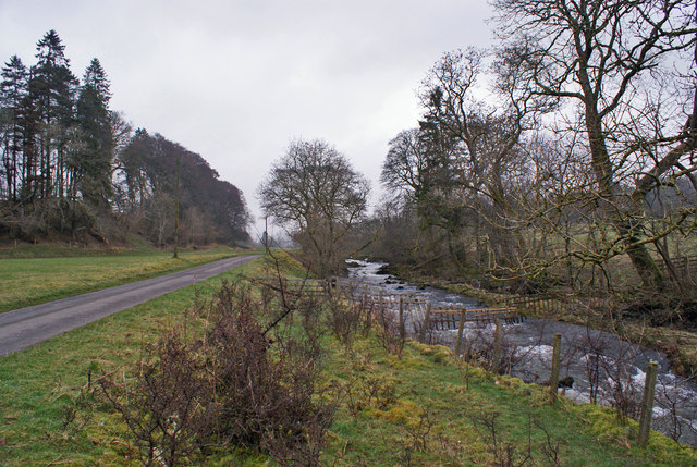
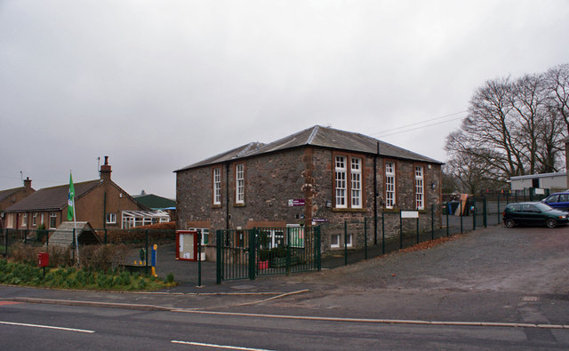
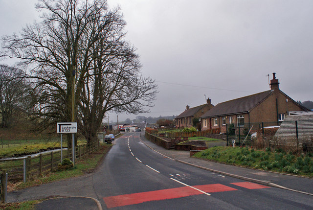
Pyatcleuch Plantation Images

Images are sourced within 2km of 55.202793/-3.3354488 or Grid Reference NY1590. Thanks to Geograph Open Source API. All images are credited.

B723 towards Lockerbie
Broom Hill Fort A view of the Broom Hill fort from the south-west.
Broom Hill Fort
A view of the Broom Hill fort from the south-west.
Farmland at Berryscaur Looking south from the side of the B723.
Farmland at Berryscaur
Looking south from the side of the B723.
Farm buildings at Berryscaur The road on the left is the B723
Farm buildings at Berryscaur
The road on the left is the B723
Berryscaur Farm buildings and farmland, viewed from the side of the B732.
Berryscaur
Farm buildings and farmland, viewed from the side of the B732.
Hutton and Corrie Church of Scotland The church stands in an isolated location, some distance from the village of Boreland.
Hutton and Corrie Church of Scotland
The church stands in an isolated location, some distance from the village of Boreland.
Walled fields at Boreland The village stands on the B723 between Lockerbie and Eskdalemuir.
Walled fields at Boreland
The village stands on the B723 between Lockerbie and Eskdalemuir.
Entrance to Hutton and Corrie Church The church dates from 1710.
Entrance to Hutton and Corrie Church
The church dates from 1710.
Boreland Village Hall The community owned hall was built in the early 1950s. A three-phase refurbishment project was completed in October 2012. The first two phases upgraded the heating and existing kitchen, while the third phase was to build an extension (here, the part of the building closest to the camera) which houses new toilet facilities, storeroom and cloakroom.
Boreland Village Hall
The community owned hall was built in the early 1950s. A three-phase refurbishment project was completed in October 2012. The first two phases upgraded the heating and existing kitchen, while the third phase was to build an extension (here, the part of the building closest to the camera) which houses new toilet facilities, storeroom and cloakroom.
Dryfe Water Looking upstream from close to Boreland village hall. The road on the left is a farm access road.
Dryfe Water
Looking upstream from close to Boreland village hall. The road on the left is a farm access road.
Hutton Primary School, Boreland Built 1857 and extended 1906, the school currently has a roll of 21 children.
Hutton Primary School, Boreland
Built 1857 and extended 1906, the school currently has a roll of 21 children.
Boreland village The village lies on the B723, about seven miles north-east of Lockerbie.
Boreland village
The village lies on the B723, about seven miles north-east of Lockerbie.
Gated ford Through the gate, a ford in the track crosses the Boreland Burn.
Gated ford
Through the gate, a ford in the track crosses the Boreland Burn.
Unclassified road towards Moffat This minor road, neatly hedged at this point, makes its way through rolling hills from Boreland to Moffat.
Unclassified road towards Moffat
This minor road, neatly hedged at this point, makes its way through rolling hills from Boreland to Moffat.
Road towards Boreland The unclassified road connects Boreland and Moffat.
Road towards Boreland
The unclassified road connects Boreland and Moffat.
Track leading to Newbigging Hill Looking westward.
Track leading to Newbigging Hill
Looking westward.
Ordnance Survey Flush Bracket 12080 This can be found on the wall of a private dwelling at Berryscaur.
For more detail see : <span class="nowrap"><a title="http://www.bench-marks.org.uk/bm22748" rel="nofollow ugc noopener" href="http://www.bench-marks.org.uk/bm22748">Link</a><img style="margin-left:2px;" alt="External link" title="External link - shift click to open in new window" src="https://s1.geograph.org.uk/img/external.png" width="10" height="10"/></span>
Ordnance Survey Flush Bracket 12080
This can be found on the wall of a private dwelling at Berryscaur. For more detail see : LinkExternal link
B723 towards Lockerbie
Show me another place!

Pyatcleuch Plantation is located at Grid Ref: NY1590 (Lat: 55.202793, Lng: -3.3354488)

Unitary Authority: Dumfries and Galloway

Police Authority: Dumfries and Galloway

What 3 Words

///speeded.keyboards.gobbling. Near Johnstonebridge, Dumfries & Galloway

Related Wikis

Boreland

Boreland is a village in Dumfries and Galloway, Scotland, which is located in Dryfesdale about 7 miles (11 kilometres) north of Lockerbie on the B723 road...

Sibbaldbie

Sibbaldbie is a small village in Annandale, Dumfries and Galloway, Scotland. == References ==

Dinwoodie railway station

Dinwoodie railway station was a station which served the rural area around the settlement of Dinwoodie, 6 miles north of Lockerbie in Applegarth parish...

Annandale Water services

Annandale Water services is a motorway service station in the village of Johnstonebridge, Scotland. The service station is located next to the A74(M) motorway...

Annandale Water

Annandale Water is a loch in Annandale, Dumfries and Galloway, in the south west of Scotland. It is part of Annandale Water service station at Junction...

Johnstonebridge

Johnstonebridge is a village in Dumfries and Galloway, Scotland.It is roughly halfway between Moffat and Lockerbie, and lies on the A74(M) motorway. The...

Nethercleugh railway station

Nethercleugh railway station was a station which served the rural area around Nethercleugh and the estate of Jardine Hall, 3 miles north of Lockerbie in...

Newton Wamphray

Newton Wamphray is a village in Dumfries and Galloway. Wamphray is the name of the surrounding parish and of the Wamphray Water, which flows south-west...

Have you been to Pyatcleuch Plantation?

Leave your review of Pyatcleuch Plantation below (or comments, questions and feedback).