Barnsdale Hill
Hill, Mountain in Dumfriesshire
Scotland
Barnsdale Hill
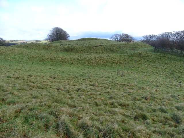
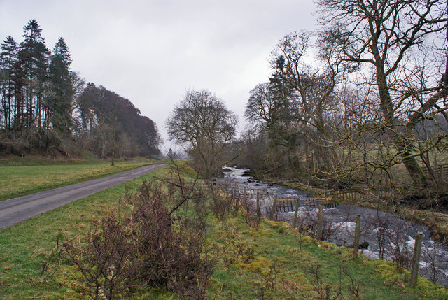
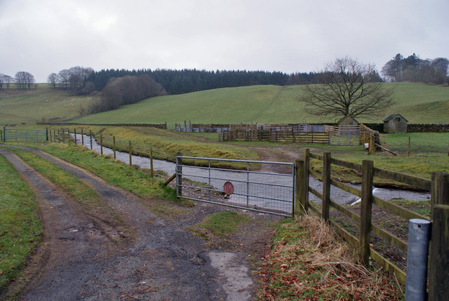
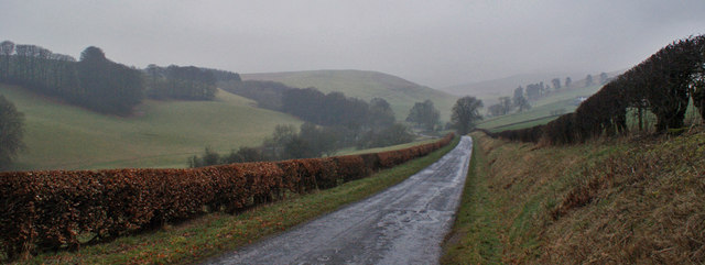
Barnsdale Hill, located in Dumfriesshire, Scotland, is a prominent hill that offers stunning panoramic views of the surrounding countryside. Rising to an elevation of approximately 406 meters (1,332 feet), it is classified as a hill rather than a mountain due to its lower height. Despite this, Barnsdale Hill is a popular destination for hikers and nature enthusiasts seeking outdoor adventures and breathtaking vistas.
The hill is characterized by its gentle slopes, covered with lush green vegetation, including heather, grasses, and scattered shrubs. Its rolling terrain provides a relatively easy climb for visitors, making it accessible to individuals of varying fitness levels. While the ascent can be demanding in certain sections, the reward is well worth the effort.
At the summit of Barnsdale Hill, one can enjoy unparalleled views of the Dumfriesshire landscape, with prominent landmarks such as the Solway Firth and Lake District visible on clear days. The panoramic vista offers a captivating blend of rugged mountains, picturesque valleys, and winding rivers.
Barnsdale Hill is also home to a diverse range of wildlife. Visitors may spot various species of birds, including buzzards, kestrels, and peregrine falcons soaring above. Rabbits, hares, and deer are also commonly seen in the area.
Overall, Barnsdale Hill provides an excellent opportunity to immerse oneself in the natural beauty of Dumfriesshire, offering a rewarding outdoor experience for both nature lovers and those seeking a peaceful retreat.
If you have any feedback on the listing, please let us know in the comments section below.
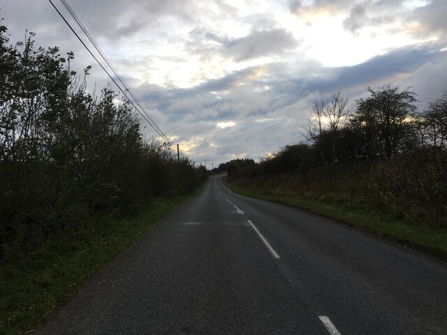
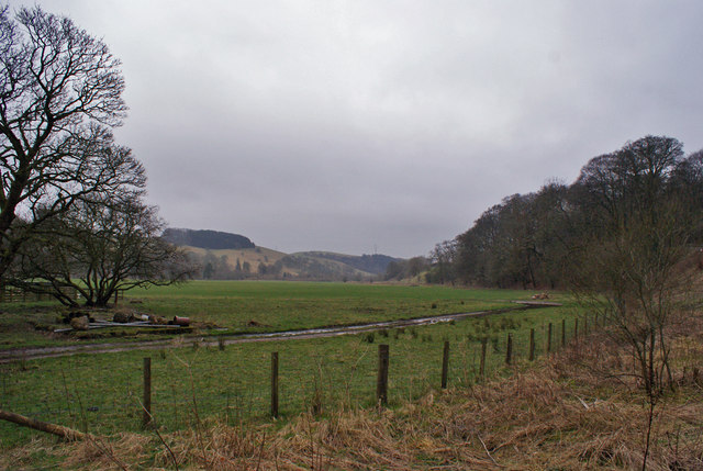
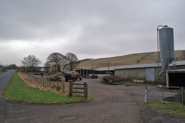
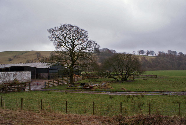
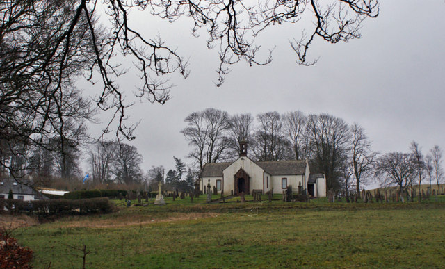
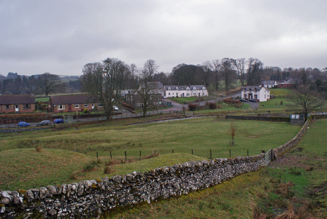
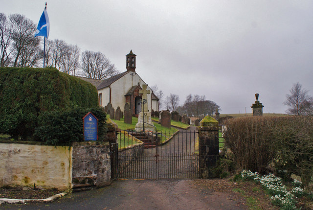
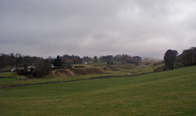
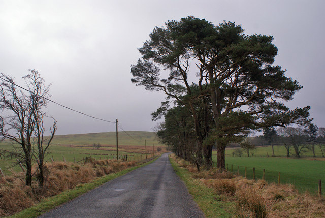
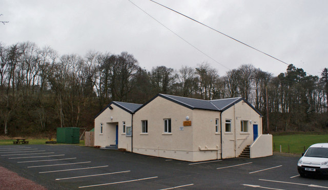
Barnsdale Hill Images
Images are sourced within 2km of 55.203488/-3.3269083 or Grid Reference NY1590. Thanks to Geograph Open Source API. All images are credited.

Barnsdale Hill is located at Grid Ref: NY1590 (Lat: 55.203488, Lng: -3.3269083)
Unitary Authority: Dumfries and Galloway
Police Authority: Dumfries and Galloway
What 3 Words
///mouths.roving.fellow. Near Johnstonebridge, Dumfries & Galloway
Nearby Locations
Related Wikis

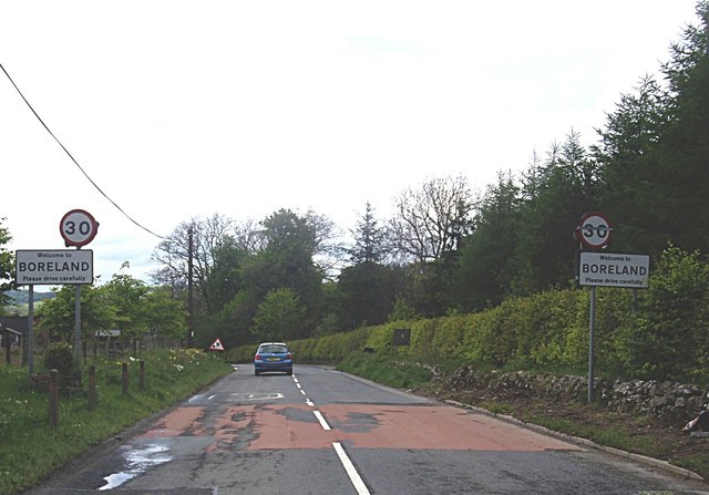
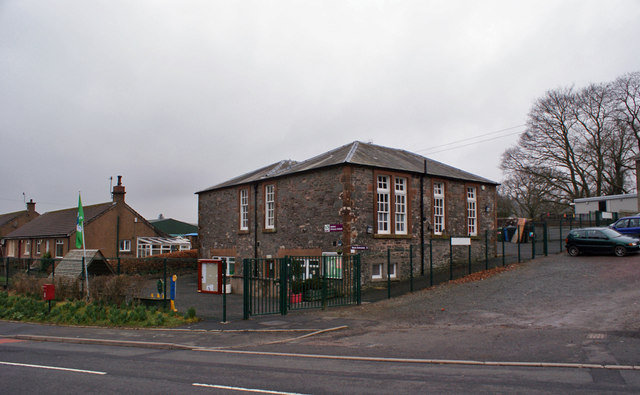
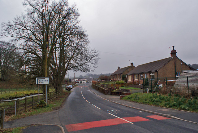
Boreland
Boreland is a village in Dumfries and Galloway, Scotland, which is located in Dryfesdale about 7 miles (11 kilometres) north of Lockerbie on the B723 road...
Sibbaldbie
Sibbaldbie is a small village in Annandale, Dumfries and Galloway, Scotland. == References ==

Dinwoodie railway station
Dinwoodie railway station was a station which served the rural area around the settlement of Dinwoodie, 6 miles north of Lockerbie in Applegarth parish...

Annandale Water services
Annandale Water services is a motorway service station in the village of Johnstonebridge, Scotland. The service station is located next to the A74(M) motorway...
Nearby Amenities
Located within 500m of 55.203488,-3.3269083Have you been to Barnsdale Hill?
Leave your review of Barnsdale Hill below (or comments, questions and feedback).