Shaw Lake

Lake, Pool, Pond, Freshwater Marsh in Dumfriesshire

Scotland

Shaw Lake

B723 towards Lockerbie
B723 towards Lockerbie Credit: Steven Brown

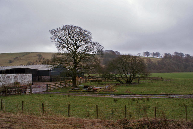
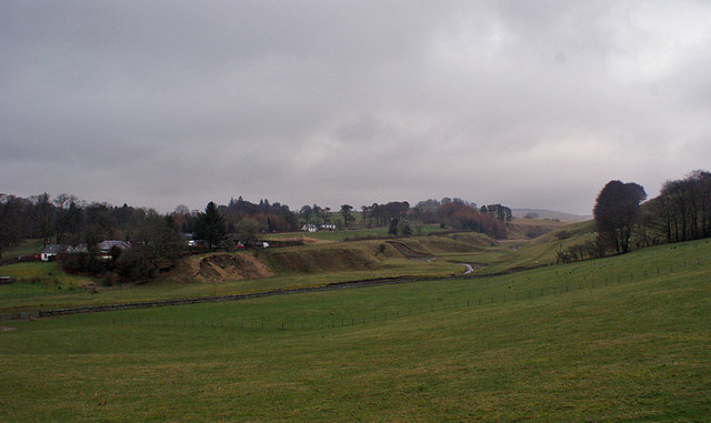
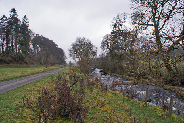
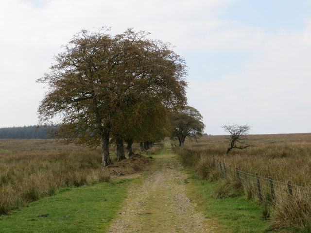
Shaw Lake is a small freshwater lake located in Dumfriesshire, Scotland. The lake covers an area of approximately 10 acres and is surrounded by lush greenery, creating a peaceful and picturesque setting for visitors to enjoy. The lake is home to a variety of wildlife, including birds, fish, and aquatic plants.

Shaw Lake is a popular spot for fishing, with anglers frequently visiting to try their luck at catching trout and perch. The lake is also a great spot for birdwatching, with a number of species of waterfowl and songbirds calling the area home.

Surrounding the lake is a freshwater marsh, which provides important habitat for a variety of plants and animals. The marsh is home to a diverse array of plant species, including cattails, rushes, and water lilies.

Overall, Shaw Lake is a tranquil and beautiful spot in Dumfriesshire, perfect for those looking to escape the hustle and bustle of everyday life and immerse themselves in the natural beauty of the Scottish countryside.

If you have any feedback on the listing, please let us know in the comments section below.
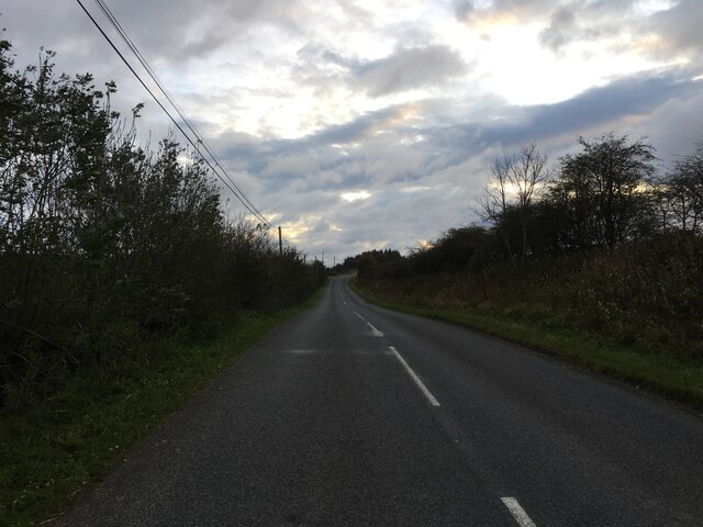
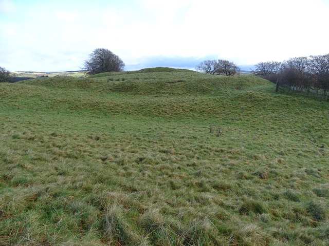
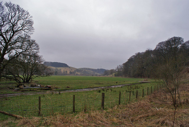
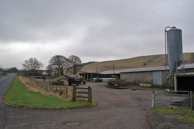
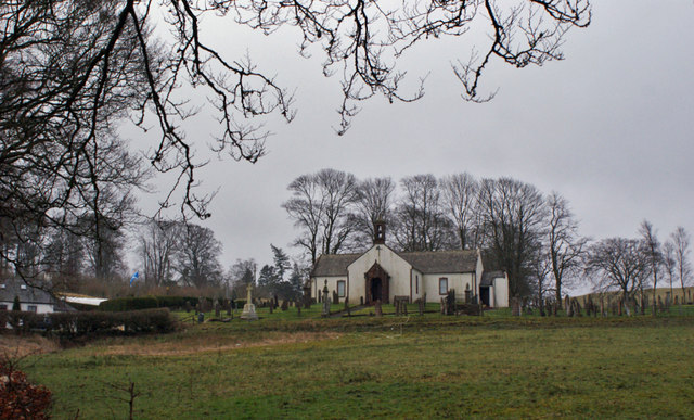
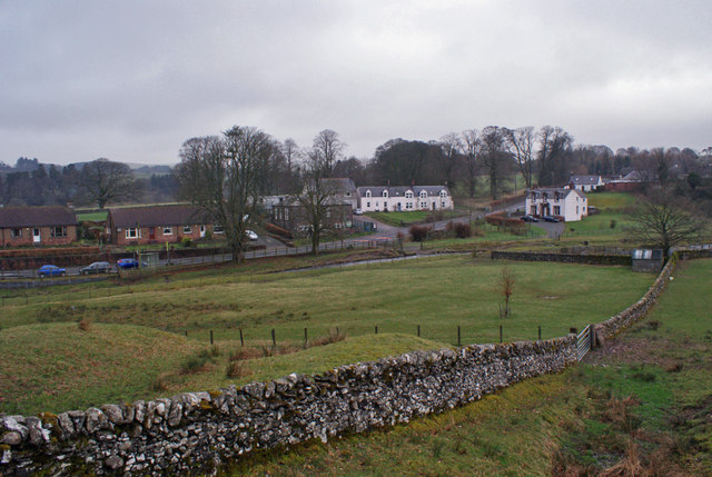
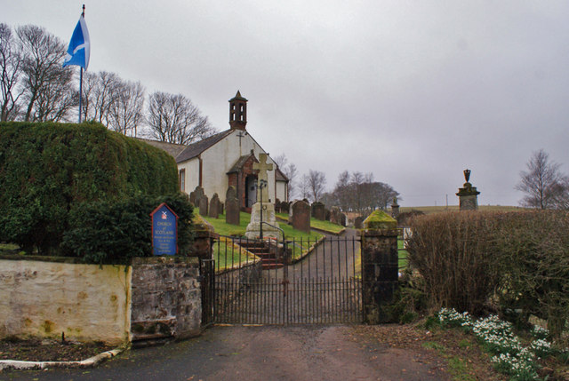
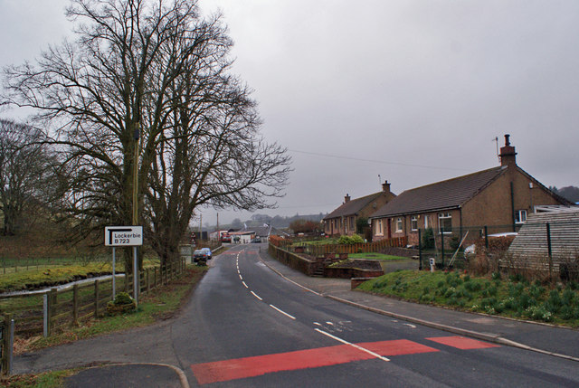
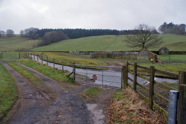
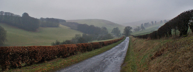
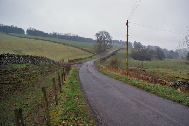
Shaw Lake Images

Images are sourced within 2km of 55.201689/-3.3328193 or Grid Reference NY1590. Thanks to Geograph Open Source API. All images are credited.

B723 towards Lockerbie
Broom Hill Fort A view of the Broom Hill fort from the south-west.
Broom Hill Fort
A view of the Broom Hill fort from the south-west.
Farmland at Berryscaur Looking south from the side of the B723.
Farmland at Berryscaur
Looking south from the side of the B723.
Farm buildings at Berryscaur The road on the left is the B723
Farm buildings at Berryscaur
The road on the left is the B723
Berryscaur Farm buildings and farmland, viewed from the side of the B732.
Berryscaur
Farm buildings and farmland, viewed from the side of the B732.
Hutton and Corrie Church of Scotland The church stands in an isolated location, some distance from the village of Boreland.
Hutton and Corrie Church of Scotland
The church stands in an isolated location, some distance from the village of Boreland.
Walled fields at Boreland The village stands on the B723 between Lockerbie and Eskdalemuir.
Walled fields at Boreland
The village stands on the B723 between Lockerbie and Eskdalemuir.
Entrance to Hutton and Corrie Church The church dates from 1710.
Entrance to Hutton and Corrie Church
The church dates from 1710.
Pastureland at Boreland Beyond, the Boreland Burn meanders in a shallow valley.
Pastureland at Boreland
Beyond, the Boreland Burn meanders in a shallow valley.
Boreland Village Hall The community owned hall was built in the early 1950s. A three-phase refurbishment project was completed in October 2012. The first two phases upgraded the heating and existing kitchen, while the third phase was to build an extension (here, the part of the building closest to the camera) which houses new toilet facilities, storeroom and cloakroom.
Boreland Village Hall
The community owned hall was built in the early 1950s. A three-phase refurbishment project was completed in October 2012. The first two phases upgraded the heating and existing kitchen, while the third phase was to build an extension (here, the part of the building closest to the camera) which houses new toilet facilities, storeroom and cloakroom.
Dryfe Water Looking upstream from close to Boreland village hall. The road on the left is a farm access road.
Dryfe Water
Looking upstream from close to Boreland village hall. The road on the left is a farm access road.
Hutton Primary School, Boreland Built 1857 and extended 1906, the school currently has a roll of 21 children.
Hutton Primary School, Boreland
Built 1857 and extended 1906, the school currently has a roll of 21 children.
Boreland village The village lies on the B723, about seven miles north-east of Lockerbie.
Boreland village
The village lies on the B723, about seven miles north-east of Lockerbie.
Gated ford Through the gate, a ford in the track crosses the Boreland Burn.
Gated ford
Through the gate, a ford in the track crosses the Boreland Burn.
Cottages in Boreland Boreland village lies on the B723 about seven miles north-east of Lockerbie.
Cottages in Boreland
Boreland village lies on the B723 about seven miles north-east of Lockerbie.
Unclassified road towards Moffat This minor road, neatly hedged at this point, makes its way through rolling hills from Boreland to Moffat.
Unclassified road towards Moffat
This minor road, neatly hedged at this point, makes its way through rolling hills from Boreland to Moffat.
Road towards Boreland The unclassified road connects Boreland and Moffat.
Road towards Boreland
The unclassified road connects Boreland and Moffat.
Track leading to Newbigging Hill Looking westward.
Track leading to Newbigging Hill
Looking westward.
Show me another place!

Shaw Lake is located at Grid Ref: NY1590 (Lat: 55.201689, Lng: -3.3328193)

Unitary Authority: Dumfries and Galloway

Police Authority: Dumfries and Galloway

What 3 Words

///alarm.housework.pipeline. Near Johnstonebridge, Dumfries & Galloway

Related Wikis

Boreland

Boreland is a village in Dumfries and Galloway, Scotland, which is located in Dryfesdale about 7 miles (11 kilometres) north of Lockerbie on the B723 road...

Sibbaldbie

Sibbaldbie is a small village in Annandale, Dumfries and Galloway, Scotland. == References ==

Dinwoodie railway station

Dinwoodie railway station was a station which served the rural area around the settlement of Dinwoodie, 6 miles north of Lockerbie in Applegarth parish...

Annandale Water services

Annandale Water services is a motorway service station in the village of Johnstonebridge, Scotland. The service station is located next to the A74(M) motorway...

Nearby Amenities

Located within 500m of 55.201689,-3.3328193
Power: pole
Lat/Long: 55.197209/-3.3324632
Power: pole
Lat/Long: 55.1974134/-3.3332515
Power: pole
Lat/Long: 55.197756/-3.3345214
Power: pole
Lat/Long: 55.1981132/-3.3357398
The data included in this document is from www.openstreetmap.org. The data is made available under ODbL.

Have you been to Shaw Lake?

Leave your review of Shaw Lake below (or comments, questions and feedback).