Wilmot's Pool

Lake, Pool, Pond, Freshwater Marsh in Somerset Somerset West and Taunton

England

Wilmot's Pool

Track on Lower Hare Knap
Track on Lower Hare Knap Credit: Chris Andrews

Wilmot's Pool is a picturesque body of water located in Somerset, England. It is classified as a freshwater marsh and is often referred to as a lake, pool, or pond due to its size and characteristics. The pool is nestled within a serene natural setting, surrounded by lush greenery and tall trees, creating a tranquil and idyllic atmosphere.

The pool covers an area of approximately 2.5 hectares and has a depth that varies between 1 to 3 meters, depending on the season. It is fed by several small streams and natural springs, ensuring a constant supply of fresh water. The water itself is clear and inviting, providing a habitat for various aquatic plants and wildlife.

Wilmot's Pool is home to a diverse range of flora and fauna, making it a popular spot for nature enthusiasts and bird watchers. The surrounding marshland is filled with reeds, rushes, and water lilies, providing shelter and nesting sites for numerous bird species, including herons, kingfishers, and ducks.

The pool also offers opportunities for recreational activities such as fishing and boating. Anglers can be seen casting their lines, hoping to catch fish such as perch, roach, and tench, which thrive in the pool's nutrient-rich waters.

Visitors can access Wilmot's Pool via designated footpaths and enjoy leisurely walks around its banks, taking in the serene beauty of the surroundings. The pool's peaceful ambiance and natural charm make it a beloved destination for both locals and tourists seeking a tranquil escape in the heart of Somerset's countryside.

If you have any feedback on the listing, please let us know in the comments section below.

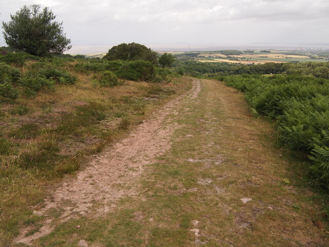
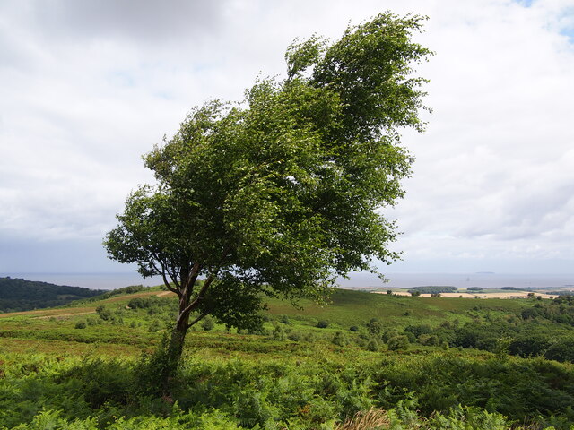
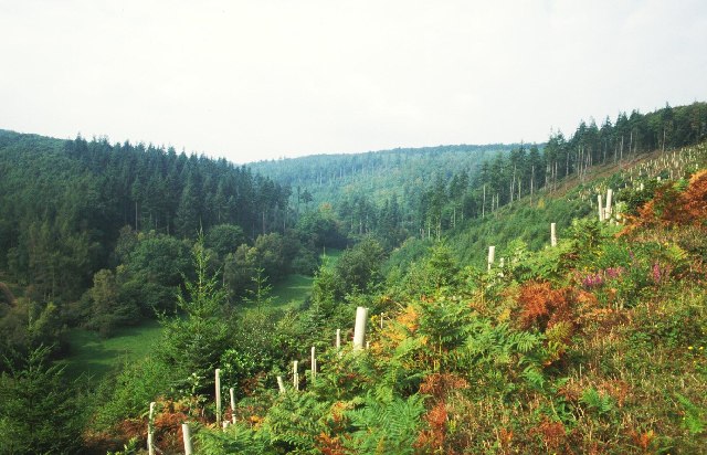
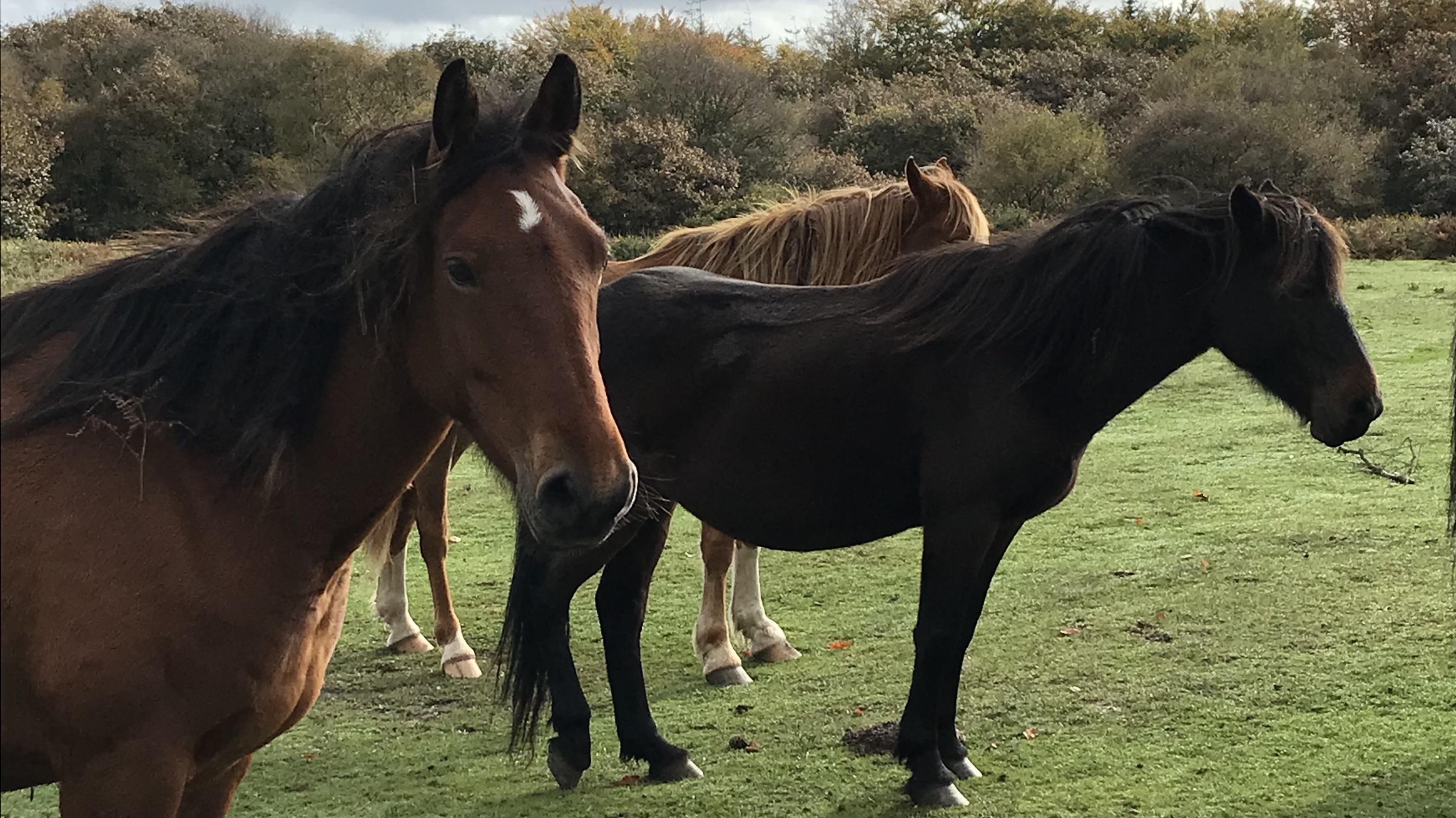
Wilmot's Pool Images

Images are sourced within 2km of 51.13635/-3.21219 or Grid Reference ST1538. Thanks to Geograph Open Source API. All images are credited.

Track on Lower Hare Knap
Path on Robin Upright's Hill
Bronze Age Barrow Within Dowsborough Hillfort
Moorland Below Dowsborough
Forested hillside
Forested hillside
Black Hill trig flush bracket The identifying metalwork of the pillar on Black Hill in the Quantocks.
Black Hill trig flush bracket
The identifying metalwork of the pillar on Black Hill in the Quantocks.
Black Hill trig and the Hinckley nuclear power station site It's about 10.5km (6.5 miles) from the trig pillar on the Quantocks to the Hinckley 'C' construction site. See <a href="https://www.geograph.org.uk/photo/7680573">ST2046 : Hinckley from Black Hill</a> for a longer look at the massive works on the coast.
Black Hill trig and the Hinckley nuclear power station site
It's about 10.5km (6.5 miles) from the trig pillar on the Quantocks to the Hinckley 'C' construction site. See ST2046 : Hinckley from Black Hill for a longer look at the massive works on the coast.
Off to Thorncombe Hill The Quantocks are crossed with lots of paths and the evening sunset enhances the view. The trig pillar is a second order site and stands at a height of 358.341m (1175.6 ft) O. D. N.
Off to Thorncombe Hill
The Quantocks are crossed with lots of paths and the evening sunset enhances the view. The trig pillar is a second order site and stands at a height of 358.341m (1175.6 ft) O. D. N.
New born lamb on Lower Hare Knap
Holford Combe The River Holford and a path both run along the bottom of the combe.
Holford Combe
The River Holford and a path both run along the bottom of the combe.
Sessile oak wood, Holford Combe Typical Quantock oak woods, on steep slopes.
Sessile oak wood, Holford Combe
Typical Quantock oak woods, on steep slopes.
Rams Combe Forestry in the Quantocks. Steep sided valleys are a feature of the eastern side of the hills, and here they have been planted by the Forestry Commission. Looking up Rams Combe from a steep track climbing up the north eastern side of the valley.
Rams Combe
Forestry in the Quantocks. Steep sided valleys are a feature of the eastern side of the hills, and here they have been planted by the Forestry Commission. Looking up Rams Combe from a steep track climbing up the north eastern side of the valley.
Road Country Lane in the Northern Quantocks This road runs from Dead Woman's Ditch, past Five Lords and Walfords Gibbet down to the main A39 near The Castle of Comfort.
Road Country Lane in the Northern Quantocks
This road runs from Dead Woman's Ditch, past Five Lords and Walfords Gibbet down to the main A39 near The Castle of Comfort.
Crowcombe: Hurley Beacon Viewed from near Crowcombe Park Gate
Crowcombe: Hurley Beacon
Viewed from near Crowcombe Park Gate
Crowcombe: Crowcombe Common Near Crowcombe Park Gate, above Crowcombe Combe
Crowcombe: Crowcombe Common
Near Crowcombe Park Gate, above Crowcombe Combe
Crowcombe: near Crowcombe Park Gate View east towards Rams Combe, Over Stowey
Crowcombe: near Crowcombe Park Gate
View east towards Rams Combe, Over Stowey
Crowcombe: trig point east of Hurley Beacon At a height of 358m, lower than the nearby trig point at Will’s Neck, at 386m – see <a href="https://www.geograph.org.uk/gridref/ST1635">ST1635</a>. 
View north east to the Bristol Channel with the nuclear power stations at Hinkley Point just visible to the left of the hill ahead. On this hill stands Dowsborough, an Iron Age hillfort, in Holford parish, 339m up.
Crowcombe: trig point east of Hurley Beacon
At a height of 358m, lower than the nearby trig point at Will’s Neck, at 386m – see ST1635. View north east to the Bristol Channel with the nuclear power stations at Hinkley Point just visible to the left of the hill ahead. On this hill stands Dowsborough, an Iron Age hillfort, in Holford parish, 339m up.
View from Crowcombe Park Gate Taken looking north east from the Crowcombe - Nether Stowey road, high in the Quantocks.
View from Crowcombe Park Gate
Taken looking north east from the Crowcombe - Nether Stowey road, high in the Quantocks.
Show me another place!

Wilmot's Pool is located at Grid Ref: ST1538 (Lat: 51.13635, Lng: -3.21219)

Administrative County: Somerset

District: Somerset West and Taunton

Police Authority: Avon and Somerset

What 3 Words

///flaunting.sparks.universe. Near Nether Stowey, Somerset

Related Wikis

Dead Woman's Ditch

Dead Woman's Ditch is an earthwork which has been scheduled as an ancient monument in Over Stowey, Somerset, England situated on the Quantock Hills. A...

Dowsborough

Dowsborough Camp (or Danesborough or Dawesbury) is an Iron Age hill fort on the Quantock Hills near Nether Stowey in Somerset, England. It has been designated...

Quantock Hills

The Quantock Hills west of Bridgwater in Somerset, England, consist of heathland, oak woodlands, ancient parklands and agricultural land. They were England...

Crowcombe

Crowcombe is a village and civil parish under the Quantock Hills in Somerset, England, 5.5 miles (9 km) southeast of Watchet, and 8 miles (13 km) from...

Nearby Amenities

Located within 500m of 51.13635,-3.21219
Black Hill
Ele: 358
Man Made: survey_point
Natural: peak
Ref: S3750
Lat/Long: 51.1357817/-3.2188898
Tourism: viewpoint
Lat/Long: 51.1365234/-3.2081428
The data included in this document is from www.openstreetmap.org. The data is made available under ODbL.

Have you been to Wilmot's Pool?

Leave your review of Wilmot's Pool below (or comments, questions and feedback).