St David's Clump
Wood, Forest in Fife
Scotland
St David's Clump
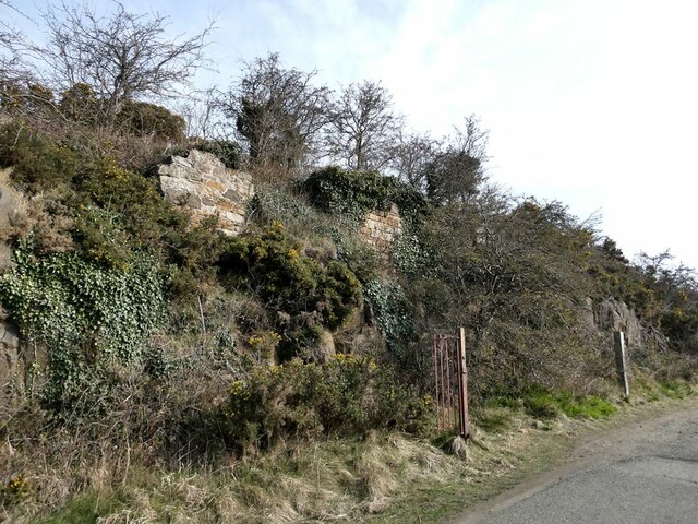
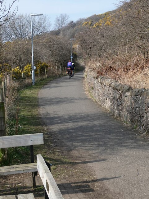
St David's Clump, located in Fife, Scotland, is a picturesque woodland area situated on the outskirts of the small village of Falkland. This enchanting forest, also known as St David's Wood or St David's Forest, covers an area of approximately 50 hectares and is a beloved destination for nature enthusiasts and hikers alike.
The woodland is comprised of a diverse range of tree species, including oak, beech, birch, and Scots pine, creating a beautiful tapestry of colors throughout the year. The dense canopy of the forest provides a sheltered habitat for a variety of wildlife, such as red squirrels, roe deer, and a wide array of bird species.
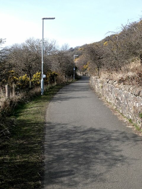
Walking along the well-maintained trails within St David's Clump, visitors can enjoy the tranquil ambiance and immerse themselves in the natural beauty of the surroundings. The forest is particularly enchanting during springtime when the woodland floor is adorned with vibrant wildflowers, creating a stunning display of colors.
St David's Clump also holds historical significance, as it is believed to be part of the ancient hunting grounds of the Stuart kings. The remains of a hunting lodge can still be seen within the forest, offering a glimpse into its rich past.
Overall, St David's Clump is a captivating woodland retreat that offers a peaceful respite from the hustle and bustle of everyday life. Whether one is seeking a leisurely stroll or a more adventurous hike, this natural gem in Fife is sure to leave visitors with a lasting impression of its beauty and tranquility.
If you have any feedback on the listing, please let us know in the comments section below.
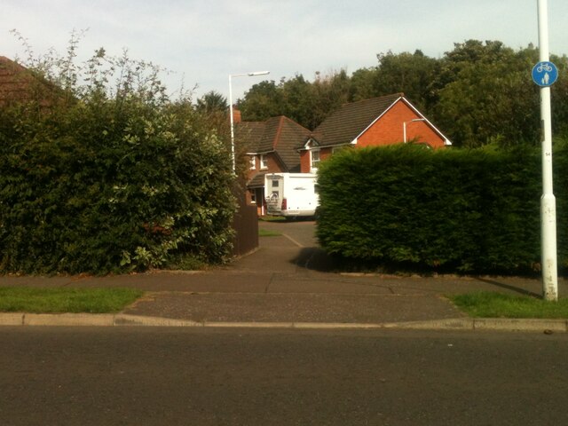
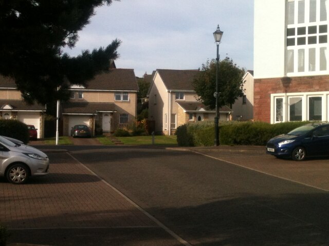
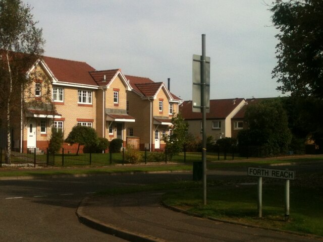
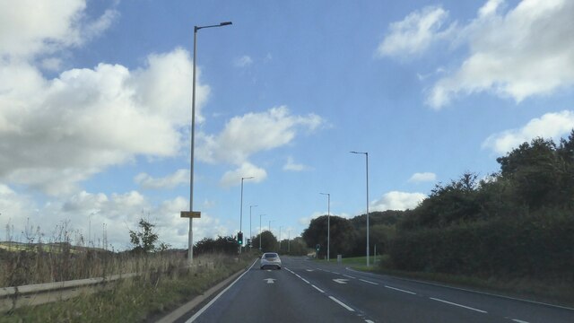
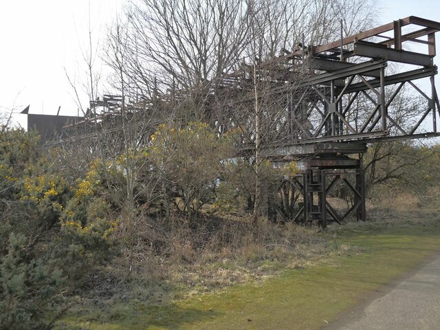
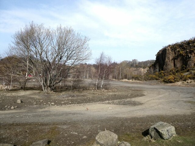
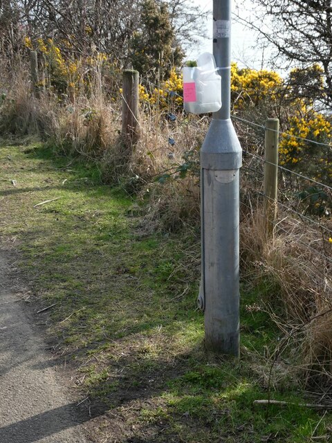
St David's Clump Images
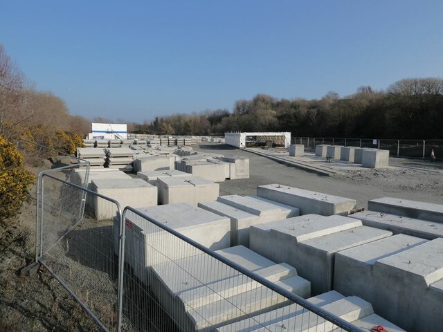
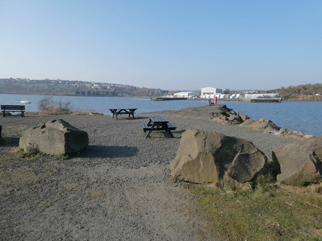
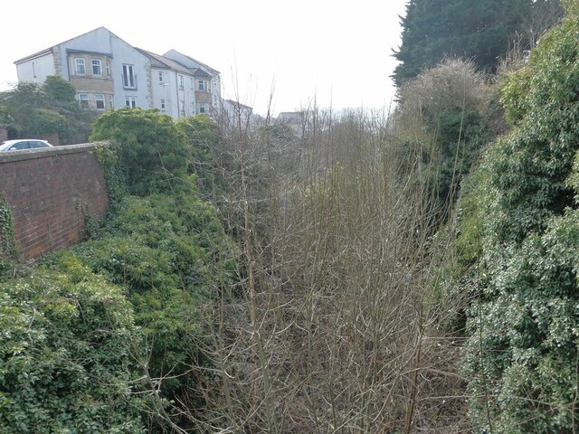
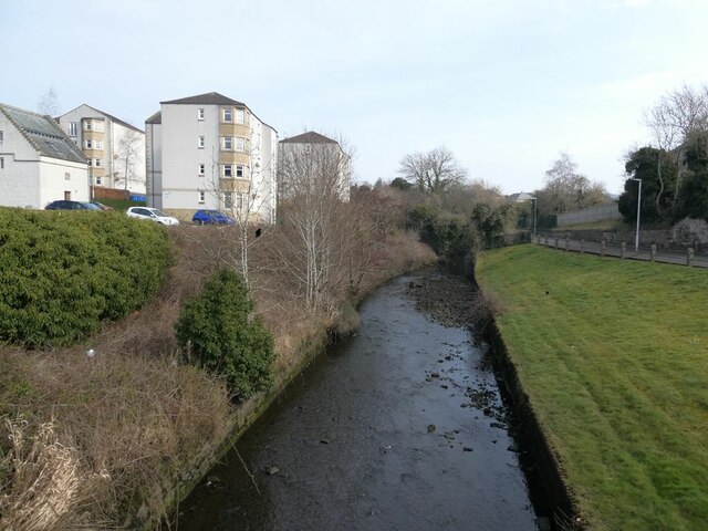
Images are sourced within 2km of 56.027941/-3.3636897 or Grid Reference NT1582. Thanks to Geograph Open Source API. All images are credited.
St David's Clump is located at Grid Ref: NT1582 (Lat: 56.027941, Lng: -3.3636897)
Unitary Authority: Fife
Police Authority: Fife
What 3 Words
///cookers.dumpling.coaster. Near Dalgety Bay, Fife
Nearby Locations
Related Wikis
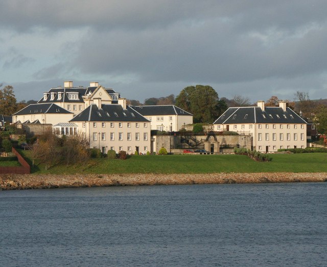
Donibristle
Donibristle (Scots: also Dunibirsle) was a house and estate in Fife, Scotland, on the coast of the Firth of Forth. Only the wings of the house remain,...

Hillend, Fife
Hillend is a small village in Fife, Scotland. It is located roughly to the north-west of Dalgety Bay. It is the location of Heil's manufacturing facilities...

Dalgety Bay railway station
Dalgety Bay railway station serves the town of Dalgety Bay in Fife, Scotland. Lying on the Fife Circle and EdinburghーDundee lines, it is managed by ScotRail...
Inverkeithing High School
Inverkeithing High School is a secondary school located in Inverkeithing, a historic town on Fife's southern coast 3.5 miles away from Dunfermline's city...
Nearby Amenities
Located within 500m of 56.027941,-3.3636897Have you been to St David's Clump?
Leave your review of St David's Clump below (or comments, questions and feedback).