Damhead Plantation
Wood, Forest in Lanarkshire
Scotland
Damhead Plantation
![Candy Burn ford and footbridge The boundary between the Scottish Borders [this side] and South Lanarkshire [across the burn]. On the road from Skirling and Cambwell to the main A702 Biggar to Edinburgh road.](https://s1.geograph.org.uk/geophotos/07/12/73/7127345_c67d4f51.jpg)
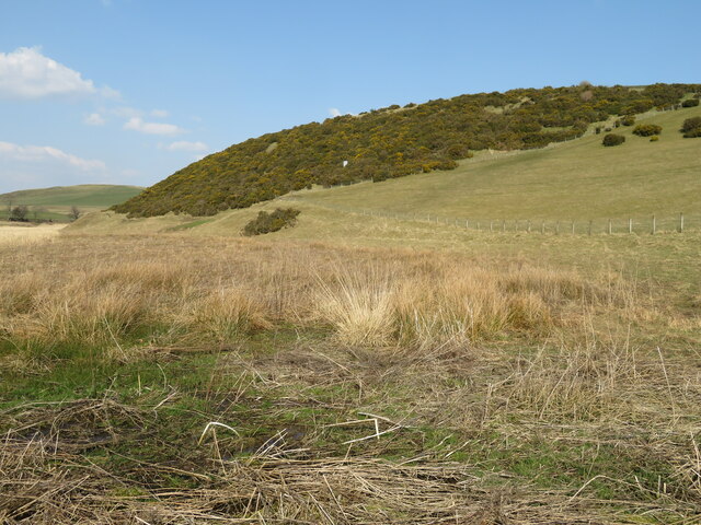
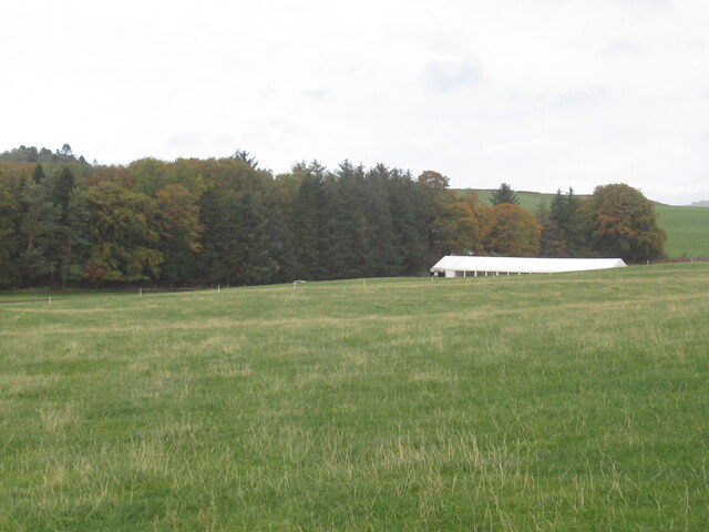
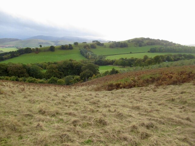
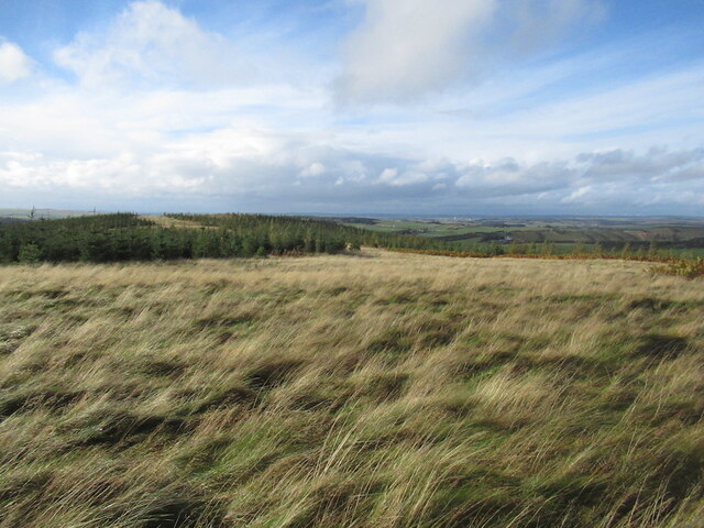
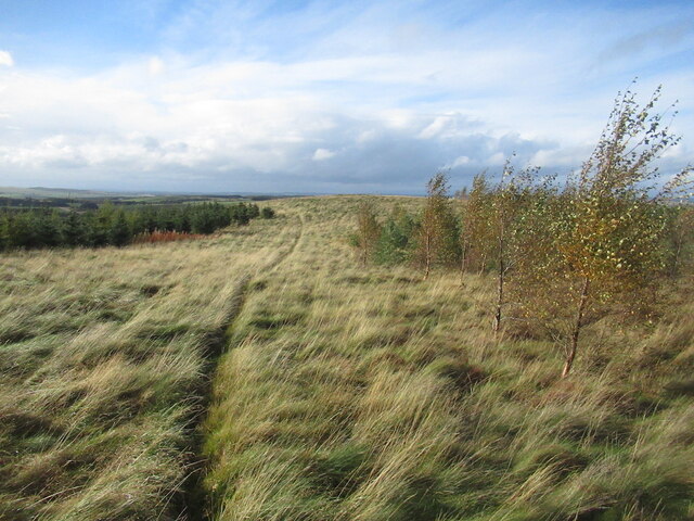
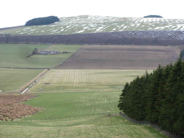
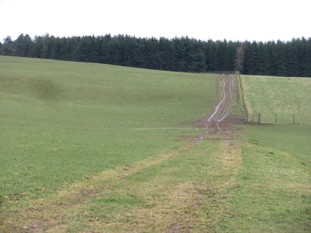
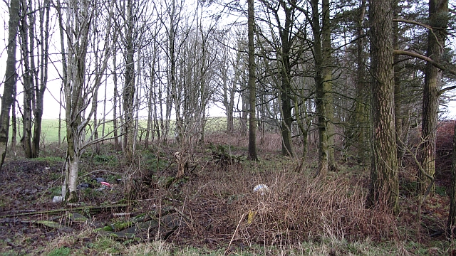
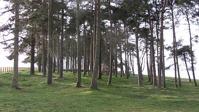
Damhead Plantation is a sprawling woodland situated in Lanarkshire, Scotland. Covering an area of approximately 300 hectares, it is one of the largest plantations in the region. The plantation is located near the village of Auchengray and is easily accessible via the A70 road.
This woodland area is characterized by a diverse range of tree species, including Scots pine, oak, birch, and beech. The trees are well-established and form a dense canopy, providing a habitat for numerous wildlife species. Damhead Plantation is home to a variety of bird species, such as woodpeckers, owls, and red kites. Mammals like red squirrels, deer, and foxes can also be spotted within the plantation.
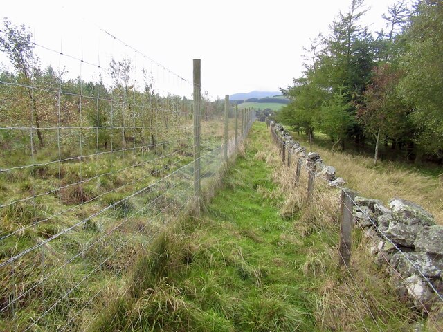
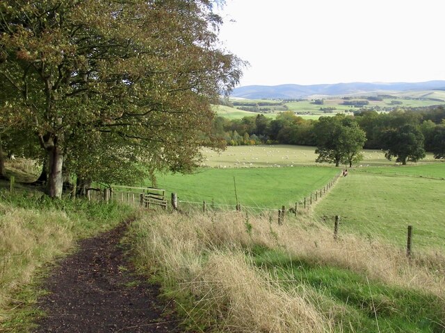
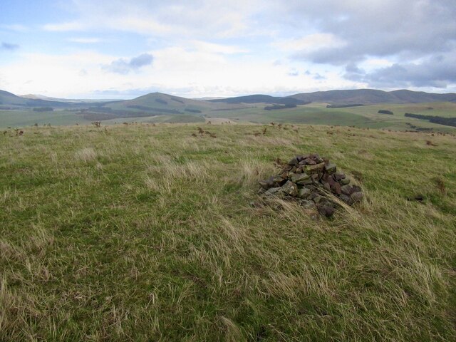
The woodland has a network of well-maintained paths, allowing visitors to explore its beauty on foot or by bicycle. These paths offer stunning views of the surrounding landscape, including the nearby Tinto Hill. The plantation is a popular destination for nature enthusiasts, hikers, and families looking to enjoy a peaceful day outdoors.
Damhead Plantation also serves as an important site for conservation efforts. It is managed by local authorities who strive to maintain the ecological balance of the area. Efforts are made to preserve the woodland's biodiversity and protect its rare and endangered species.
Overall, Damhead Plantation is a picturesque woodland area in Lanarkshire, offering a tranquil escape from the hustle and bustle of everyday life. It provides a habitat for various flora and fauna, recreational opportunities, and serves as a testament to the importance of environmental conservation.
If you have any feedback on the listing, please let us know in the comments section below.
Damhead Plantation Images
Images are sourced within 2km of 55.658941/-3.4870854 or Grid Reference NT0641. Thanks to Geograph Open Source API. All images are credited.
Damhead Plantation is located at Grid Ref: NT0641 (Lat: 55.658941, Lng: -3.4870854)
Unitary Authority: South Lanarkshire
Police Authority: Lanarkshire
What 3 Words
///picnic.scouted.awaited. Near Biggar, South Lanarkshire
Nearby Locations
Related Wikis

Brownsbank
Brownsbank (Brounsbank in Scots) is a cottage close to the small settlement of Candymill to the north of Biggar in Scotland. It is best known as the former...
Elsrickle
Elsrickle is a village in South Lanarkshire, Scotland. It lies on Blackmount Hill, which is at the end of the Pentland Hills. An elrick is an old place...

Skirling
Skirling is a parish, community council area and village in Peeblesshire in the Scottish Borders situated 2+1⁄2 miles east of Biggar in Lanarkshire. Biggar...

Biggar Corn Exchange
Biggar Corn Exchange is a commercial building in the High Street, Biggar, South Lanarkshire, Scotland. The structure, which is now used as a theatre, is...
Biggar, South Lanarkshire
Biggar (Scottish Gaelic: Bigear [ˈpikʲəɾ]) is a town and former burgh in South Lanarkshire, Scotland, in the Southern Uplands near the River Clyde on...

Kello Hospital
Kello Hospital is a health facility in John's Loan, Biggar, South Lanarkshire, Scotland. It is managed by NHS Lanarkshire. == History == The facility,...
Biggar High School
Biggar High School (Local education authority: South Lanarkshire) is a secondary school located in the town of Biggar, South Lanarkshire. It is a mixed...
Biggar Castle
Biggar Castle was a 12th-century castle in Biggar, South Lanarkshire, Scotland. It appears to have been abandoned by the 14th century. == History == The...
Nearby Amenities
Located within 500m of 55.658941,-3.4870854Have you been to Damhead Plantation?
Leave your review of Damhead Plantation below (or comments, questions and feedback).