Castle Hill
Hill, Mountain in Lanarkshire
Scotland
Castle Hill
![Candy Burn ford and footbridge The boundary between the Scottish Borders [this side] and South Lanarkshire [across the burn]. On the road from Skirling and Cambwell to the main A702 Biggar to Edinburgh road.](https://s1.geograph.org.uk/geophotos/07/12/73/7127345_c67d4f51.jpg)
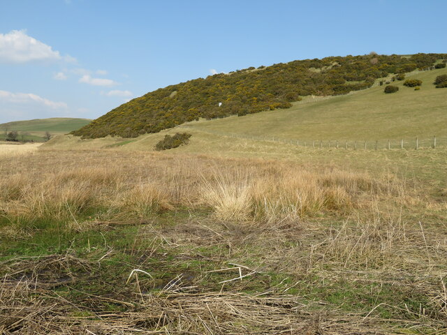
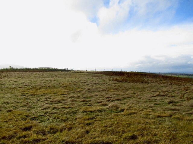
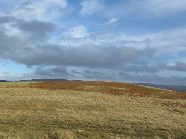
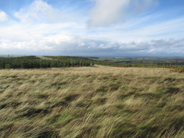
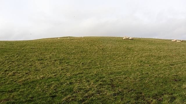
Castle Hill, located in Lanarkshire, Scotland, is a prominent hill or mountain that stands tall with a height of approximately 304 meters (997 feet). Situated near the village of Cleghorn, Castle Hill provides breathtaking panoramic views of the surrounding countryside.
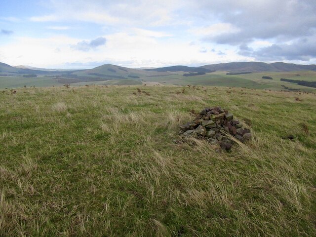
The hill derives its name from a historical connection to the nearby Cleghorn Castle, although no remains of the castle can be seen today. Instead, the site of the castle is marked by a stone monument at the summit, which adds to the charm and intrigue of Castle Hill.
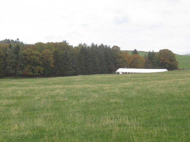
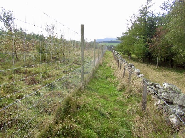
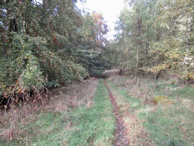
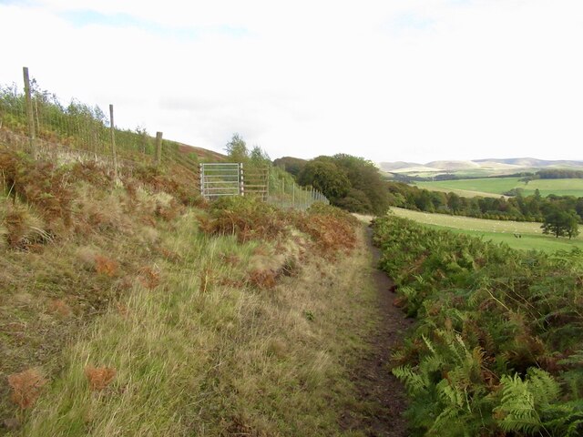
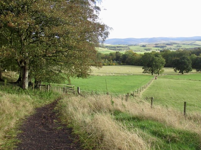
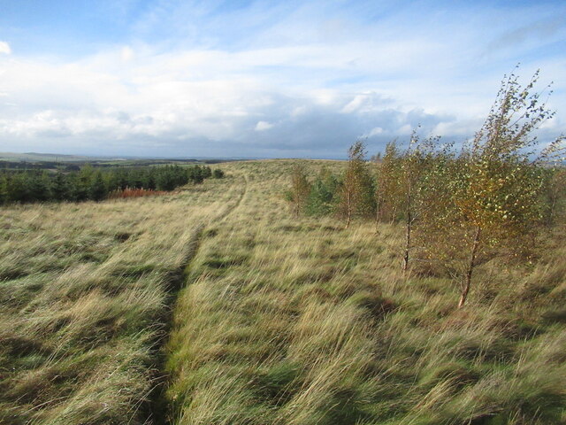
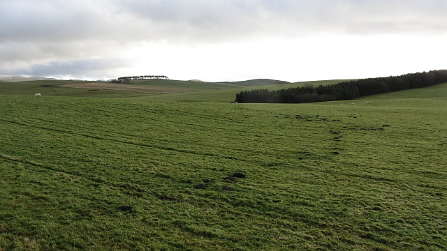
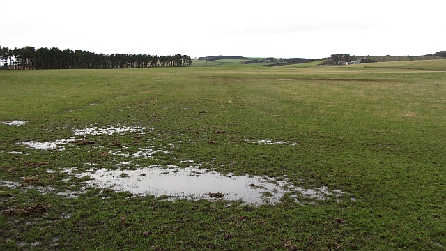
The hill itself is composed of a mixture of grassy slopes and rocky outcrops, making it a popular destination for hikers and outdoor enthusiasts. A network of footpaths and trails allows visitors to explore the area, taking them through woodlands and open fields, before ascending towards the summit.
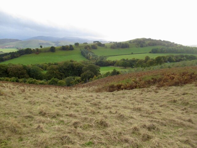
At the top of Castle Hill, visitors are rewarded with stunning views across the Lanarkshire countryside. On a clear day, one can see for miles, with rolling hills, fields, and forests stretching as far as the eye can see. The tranquil atmosphere and natural beauty make it an ideal spot for picnics, photography, or simply enjoying the serenity of the surroundings.
Castle Hill holds significant geological importance, with evidence of glacial deposits and formations. This attracts geologists and researchers who study the region's geological history.
Overall, Castle Hill in Lanarkshire offers visitors a chance to immerse themselves in nature, explore its historical connections, and appreciate the stunning vistas that make it a popular destination for locals and tourists alike.
If you have any feedback on the listing, please let us know in the comments section below.
Castle Hill Images
Images are sourced within 2km of 55.655235/-3.4874058 or Grid Reference NT0641. Thanks to Geograph Open Source API. All images are credited.
Castle Hill is located at Grid Ref: NT0641 (Lat: 55.655235, Lng: -3.4874058)
Unitary Authority: South Lanarkshire
Police Authority: Lanarkshire
What 3 Words
///grit.vans.junction. Near Biggar, South Lanarkshire
Nearby Locations
Related Wikis

Brownsbank
Brownsbank (Brounsbank in Scots) is a cottage close to the small settlement of Candymill to the north of Biggar in Scotland. It is best known as the former...
Elsrickle
Elsrickle is a village in South Lanarkshire, Scotland. It lies on Blackmount Hill, which is at the end of the Pentland Hills. An elrick is an old place...

Skirling
Skirling is a parish, community council area and village in Peeblesshire in the Scottish Borders situated 2+1⁄2 miles east of Biggar in Lanarkshire. Biggar...

Biggar Corn Exchange
Biggar Corn Exchange is a commercial building in the High Street, Biggar, South Lanarkshire, Scotland. The structure, which is now used as a theatre, is...
Biggar, South Lanarkshire
Biggar (Scottish Gaelic: Bigear [ˈpikʲəɾ]) is a town and former burgh in South Lanarkshire, Scotland, in the Southern Uplands near the River Clyde on...

Kello Hospital
Kello Hospital is a health facility in John's Loan, Biggar, South Lanarkshire, Scotland. It is managed by NHS Lanarkshire. == History == The facility,...
Biggar High School
Biggar High School (Local education authority: South Lanarkshire) is a secondary school located in the town of Biggar, South Lanarkshire. It is a mixed...
Biggar Castle
Biggar Castle was a 12th-century castle in Biggar, South Lanarkshire, Scotland. It appears to have been abandoned by the 14th century. == History == The...
Nearby Amenities
Located within 500m of 55.655235,-3.4874058Have you been to Castle Hill?
Leave your review of Castle Hill below (or comments, questions and feedback).