Blue Blanket Wood
Wood, Forest in Lanarkshire
Scotland
Blue Blanket Wood
![Candy Burn ford and footbridge The boundary between the Scottish Borders [this side] and South Lanarkshire [across the burn]. On the road from Skirling and Cambwell to the main A702 Biggar to Edinburgh road.](https://s1.geograph.org.uk/geophotos/07/12/73/7127345_c67d4f51.jpg)
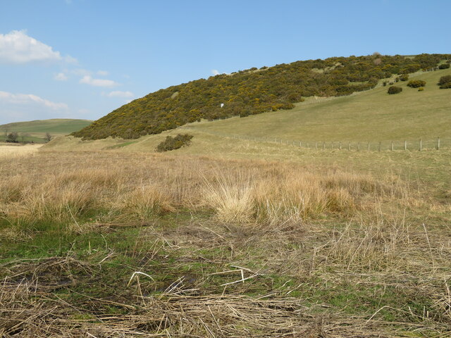
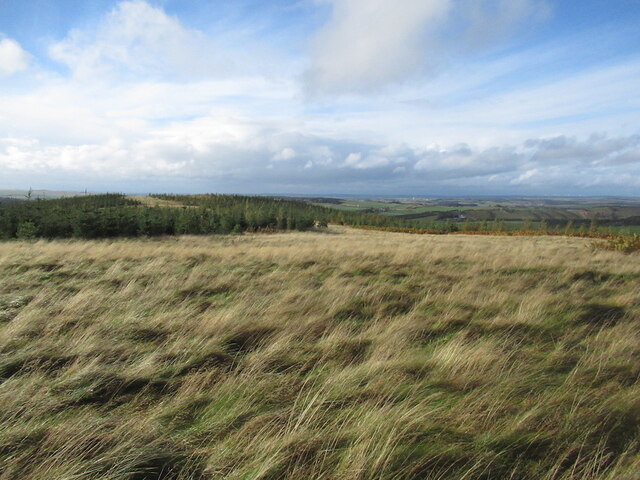
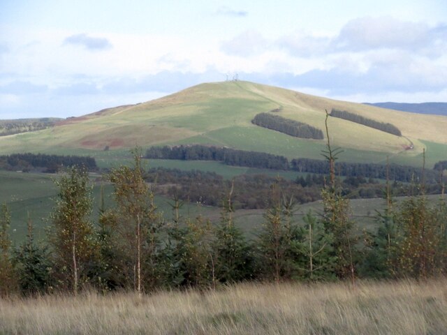
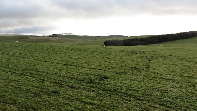
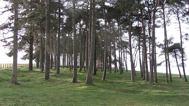
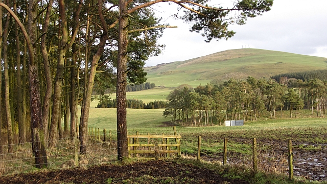
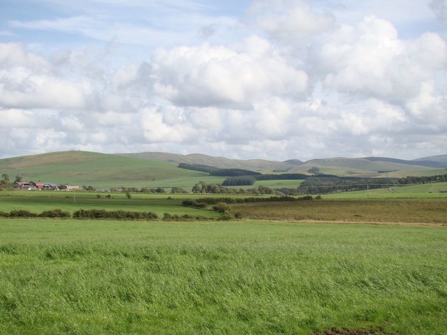
Blue Blanket Wood is a renowned forest located in the county of Lanarkshire, Scotland. Covering an extensive area of approximately 100 acres, it is a popular destination for nature lovers and outdoor enthusiasts. The wood is characterized by its diverse range of flora and fauna, offering a rich and vibrant ecosystem.
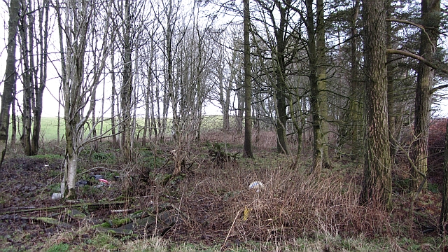
The wood features a variety of tree species, including oak, birch, and pine, which create a picturesque landscape throughout the year. The dense foliage provides a habitat for numerous bird species, making it a haven for birdwatchers. Visitors may spot species such as woodpeckers, chaffinches, and robins during their explorations.
Traversing through Blue Blanket Wood, one will come across well-maintained trails and paths that offer a peaceful and tranquil atmosphere. These paths cater to hikers, joggers, and cyclists, providing an opportunity to appreciate the natural beauty of the surroundings. Additionally, the forest also boasts picnic areas, allowing families and friends to enjoy a pleasant day out surrounded by nature.
Blue Blanket Wood holds historical significance as well. The name itself is derived from a traditional blue tartan blanket that was hung in the forest during the time of the Covenanters, a Scottish religious movement in the 17th century. This historical association adds an extra layer of intrigue to the wood, attracting history enthusiasts and curious visitors.
Overall, Blue Blanket Wood in Lanarkshire stands as an enchanting destination for those seeking a peaceful retreat in nature. Its diverse wildlife, well-maintained trails, and historical significance make it a must-visit location for both locals and tourists alike.
If you have any feedback on the listing, please let us know in the comments section below.
Blue Blanket Wood Images
Images are sourced within 2km of 55.659573/-3.4831195 or Grid Reference NT0641. Thanks to Geograph Open Source API. All images are credited.
Blue Blanket Wood is located at Grid Ref: NT0641 (Lat: 55.659573, Lng: -3.4831195)
Unitary Authority: South Lanarkshire
Police Authority: Lanarkshire
What 3 Words
///quack.imprinted.emerge. Near Biggar, South Lanarkshire
Nearby Locations
Related Wikis

Brownsbank
Brownsbank (Brounsbank in Scots) is a cottage close to the small settlement of Candymill to the north of Biggar in Scotland. It is best known as the former...
Elsrickle
Elsrickle is a village in South Lanarkshire, Scotland. It lies on Blackmount Hill, which is at the end of the Pentland Hills. An elrick is an old place...

Skirling
Skirling is a parish, community council area and village in Peeblesshire in the Scottish Borders situated 2+1⁄2 miles east of Biggar in Lanarkshire. Biggar...

Biggar Corn Exchange
Biggar Corn Exchange is a commercial building in the High Street, Biggar, South Lanarkshire, Scotland. The structure, which is now used as a theatre, is...

Walston, South Lanarkshire
Walston is a hamlet in the middle of black mount area of South Lanarkshire. == History == Patrick Molleson in the Old Statistical Account records that...
Biggar, South Lanarkshire
Biggar (Scottish Gaelic: Bigear [ˈpikʲəɾ]) is a town and former burgh in South Lanarkshire, Scotland, in the Southern Uplands near the River Clyde on...

Kello Hospital
Kello Hospital is a health facility in John's Loan, Biggar, South Lanarkshire, Scotland. It is managed by NHS Lanarkshire. == History == The facility,...
Biggar High School
Biggar High School (Local education authority: South Lanarkshire) is a secondary school located in the town of Biggar, South Lanarkshire. It is a mixed...
Nearby Amenities
Located within 500m of 55.659573,-3.4831195Have you been to Blue Blanket Wood?
Leave your review of Blue Blanket Wood below (or comments, questions and feedback).