Braigh na h-Eaglaise

Hill, Mountain in Caithness

Scotland

Braigh na h-Eaglaise

Langdale Water This is a beautiful river.  The walk is to be highly recommended.
Langdale Water Credit: Glen Breaden

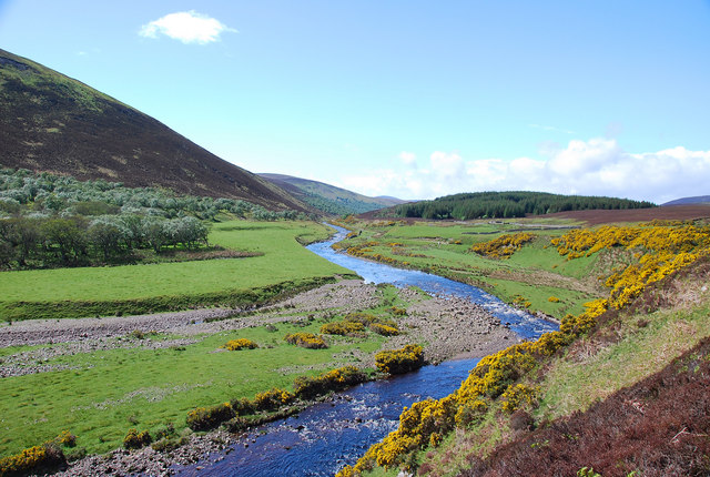
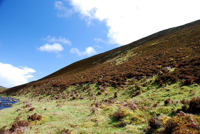
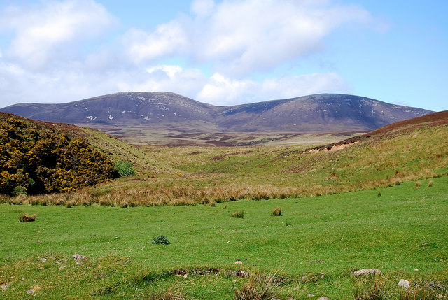
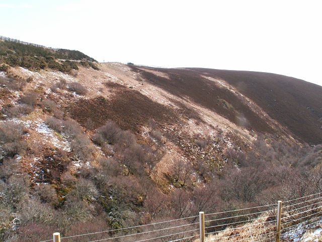
Braigh na h-Eaglaise, also known as the Hill of the Church, is a prominent hill located in the county of Caithness, Scotland. It stands at an elevation of approximately 261 meters (856 feet) and offers stunning panoramic views of the surrounding landscape.

The hill is situated near the small village of Keiss, just a few miles northeast of Wick. Its name, Braigh na h-Eaglaise, is Gaelic for "hill of the church," which refers to the remains of an ancient church that once stood atop the summit. The church was dedicated to Saint Tear or Saint Ternan, a 6th-century saint known for spreading Christianity in the region.

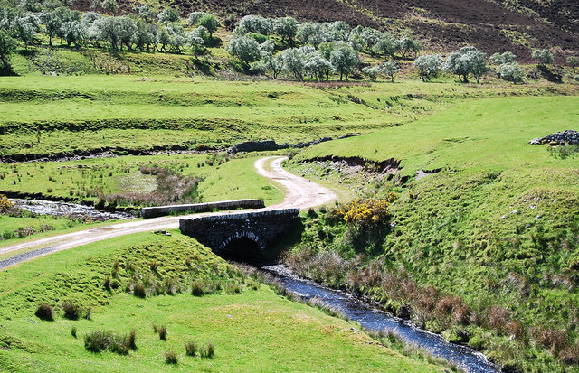
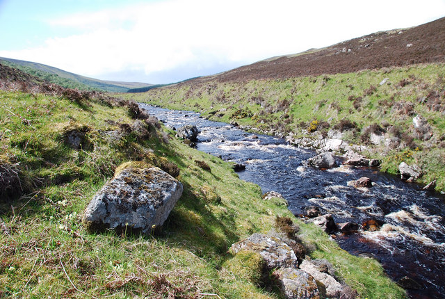
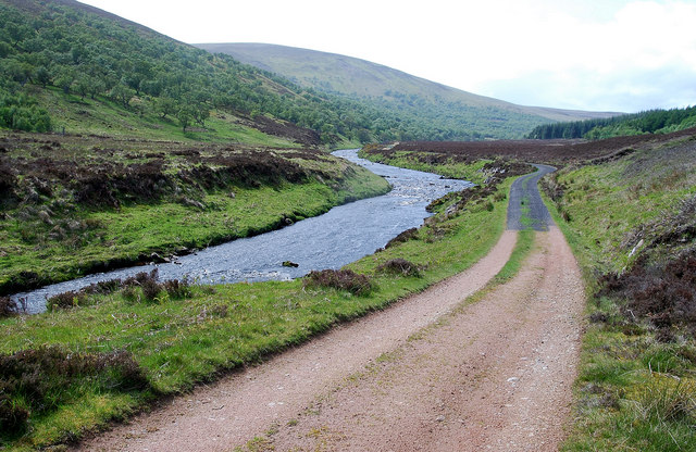
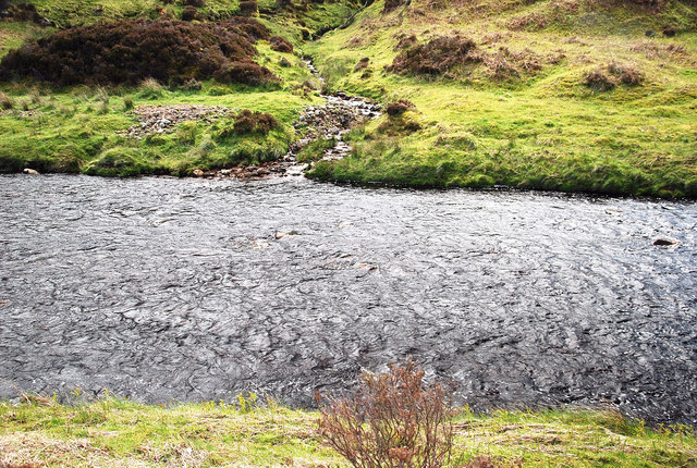
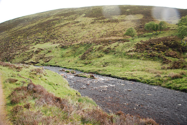
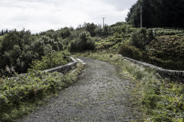
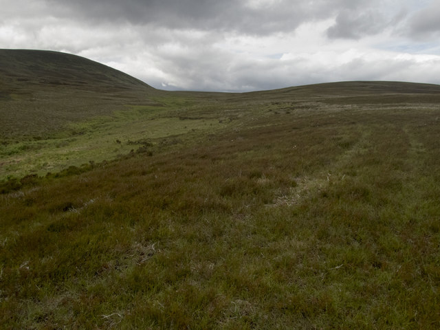
Braigh na h-Eaglaise is a popular destination for hiking and hillwalking enthusiasts due to its accessible location and relatively easy ascent. The hill is characterized by its gently sloping grassy slopes and is often used as grazing land for sheep.

From the summit, visitors can enjoy breathtaking views of the North Sea coastline, the nearby Duncansby Head, and the surrounding countryside. On a clear day, it is even possible to catch a glimpse of the Orkney Islands in the distance.

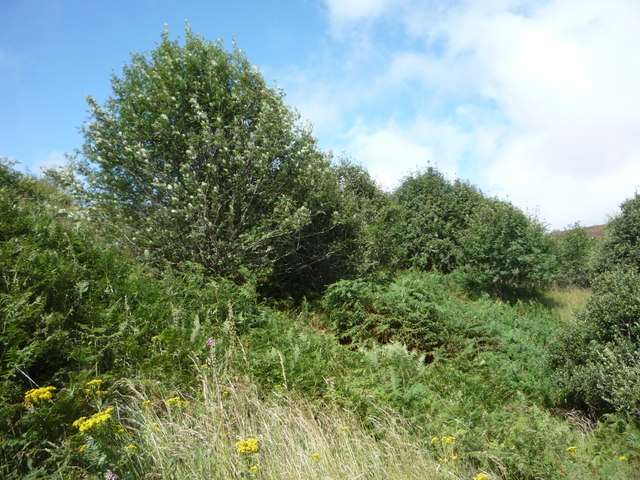
The hill is a haven for wildlife, with various bird species such as peregrine falcons, buzzards, and ravens often spotted in the area. Additionally, the hill's diverse flora includes heather, gorse, and scattered wildflowers, providing a beautiful backdrop for outdoor enthusiasts.

Overall, Braigh na h-Eaglaise is a picturesque and historically significant hill that offers visitors a chance to immerse themselves in the natural beauty and rich heritage of Caithness.

If you have any feedback on the listing, please let us know in the comments section below.

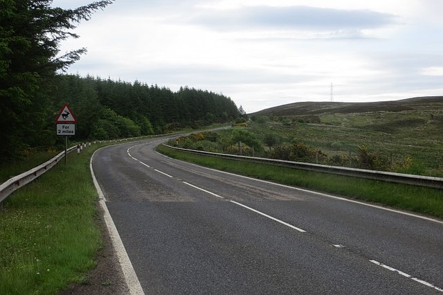
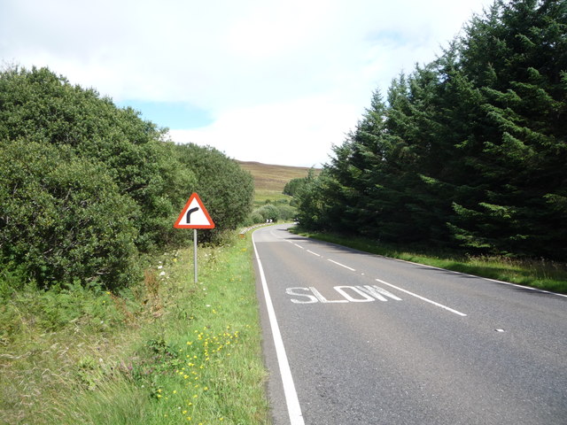
Braigh na h-Eaglaise Images

Images are sourced within 2km of 58.177735/-3.5915551 or Grid Reference ND0622. Thanks to Geograph Open Source API. All images are credited.

Langdale Water This is a beautiful river.  The walk is to be highly recommended.
Langdale Water
This is a beautiful river. The walk is to be highly recommended.
Old Bridge Looking west and down on an old bridge which crosses a tributary of the Langwell Water.
Old Bridge
Looking west and down on an old bridge which crosses a tributary of the Langwell Water.
South Bank View Looking west from the wire bridge up the Langwell Water.
South Bank View
Looking west from the wire bridge up the Langwell Water.
Braigh na h-Eaglaise Looking east the northern heather-clad braes (of the church!) from near the foot bridge
Braigh na h-Eaglaise
Looking east the northern heather-clad braes (of the church!) from near the foot bridge
Langwell Water Heading west the track faithfully follows the course of the river.  It makes for enjoyable walking.
Langwell Water
Heading west the track faithfully follows the course of the river. It makes for enjoyable walking.
Side Burn This burn drains the northern slopes of Braigh na h-Eaglais into the Langwell Water,
Side Burn
This burn drains the northern slopes of Braigh na h-Eaglais into the Langwell Water,
Langwell Scene Looking east over the river to the hill slopes. Unfortunately it had started to rain.
Langwell Scene
Looking east over the river to the hill slopes. Unfortunately it had started to rain.
Hut Circle The map suggests that there are three or four such circles but only two were evident (to my eyes).
Hut Circle
The map suggests that there are three or four such circles but only two were evident (to my eyes).
Scaraben View Looking north to the twin tops of Scaraben.
Scaraben View
Looking north to the twin tops of Scaraben.
Original bridge by the A9
Old A9 crossing the Ousdale Burn
Letter box, Ousdale Keeper's Cottage is on a disused loop of the A9. A ewe supplement box has been used as a letterbox. The bracken is a couple of weeks behind after a cold Spring in the North Atlantic.
Letter box, Ousdale
Keeper's Cottage is on a disused loop of the A9. A ewe supplement box has been used as a letterbox. The bracken is a couple of weeks behind after a cold Spring in the North Atlantic.
A9, Ousdale The road was rather quiet today, which was appreciated.  The woods are narrow, planted to keep snow off the road.
A9, Ousdale
The road was rather quiet today, which was appreciated. The woods are narrow, planted to keep snow off the road.
Old A9 A loop cut off by modernising the road over the Ord of Caithness.
Old A9
A loop cut off by modernising the road over the Ord of Caithness.
New A9 A modernised part of the road over the Ord of Caithness.
New A9
A modernised part of the road over the Ord of Caithness.
Moorland stream The brighter green of the ferns marks the route of the Allt Braigh nam Meur, marked on the 1:50000 but named only on the 1:25000 OS map. The track I was following from the gate in the deer fence to the south was not marked. It gave easy walking through occasionally boggy ground. There was evidence cattle had been grazed here, but I met none. The hill (Braigh na h-Eaglaise 422m) is in <a href="https://www.geograph.org.uk/gridref/ND0622">ND0622</a>, but the unnamed high ground to the right has its highest point (275m) near the northern edge of the square.
Moorland stream
The brighter green of the ferns marks the route of the Allt Braigh nam Meur, marked on the 1:50000 but named only on the 1:25000 OS map. The track I was following from the gate in the deer fence to the south was not marked. It gave easy walking through occasionally boggy ground. There was evidence cattle had been grazed here, but I met none. The hill (Braigh na h-Eaglaise 422m) is in ND0622, but the unnamed high ground to the right has its highest point (275m) near the northern edge of the square.
Woodland beside the A9 Near Ousdale.
Woodland beside the A9
Near Ousdale.
Approaching bend on the A9 near Ousdale Heading north east towards Dunbeath.
Approaching bend on the A9 near Ousdale
Heading north east towards Dunbeath.
Show me another place!

Braigh na h-Eaglaise is located at Grid Ref: ND0622 (Lat: 58.177735, Lng: -3.5915551)

Unitary Authority: Highland

Police Authority: Highlands and Islands

What 3 Words

///defaults.autumn.chitchat. Near Dunbeath, Highland

Nearby Locations

Braigh na h-Eaglaise

Related Wikis

Badbea

Badbea (pronounced bad-bay) is a former clearance village perched on the steep slopes above the cliff tops of Berriedale on the east coast of Caithness...

Ousdale Broch

Ousdale Broch, also known as Ousdale Burn or Allt a’ Bhurg (Scots Gaelic: ‘stream of the fort’) Broch, is an Iron Age broch (drystone tower) located between...

Ord of Caithness

The Ord of Caithness is a granite mass on the east coast of the Highland council area of Scotland, on the boundary of the counties Sutherland and Caithness...

Scaraben

Scaraben (626 m) is a hill in the Northwest Highlands of Scotland. It lies in the Caithness region, in the far north. Taking the form of a long ridge over...

Nearby Amenities

Located within 500m of 58.177735,-3.5915551
Braigh na h-Eaglaise
Corbett: no
Ele: 422
Graham: no
Marilyn: yes
Munro: no
Natural: peak
Prominence: 179
Lat/Long: 58.1778129/-3.5912481
The data included in this document is from www.openstreetmap.org. The data is made available under ODbL.

Have you been to Braigh na h-Eaglaise?

Leave your review of Braigh na h-Eaglaise below (or comments, questions and feedback).