Cars Wood
Wood, Forest in Dumfriesshire
Scotland
Cars Wood
Cars Wood is a beautiful forest located in Dumfriesshire, Scotland. Covering an area of approximately 500 acres, the wood is home to a diverse range of flora and fauna, making it a popular destination for nature lovers and outdoor enthusiasts.
The forest is predominantly made up of native broadleaf trees such as oak, beech, and birch, providing a rich habitat for wildlife including deer, red squirrels, and various species of birds. There are also several streams running through the wood, adding to its natural beauty.
Visitors to Cars Wood can enjoy a network of well-maintained walking trails that wind through the forest, offering stunning views of the surrounding countryside. There are also picnic areas and viewpoints where visitors can relax and take in the peaceful surroundings.
Cars Wood is managed by the Forestry Commission Scotland, which works to preserve and protect the woodland for future generations to enjoy. The forest is open to the public year-round, providing a tranquil escape from the hustle and bustle of everyday life.
If you have any feedback on the listing, please let us know in the comments section below.
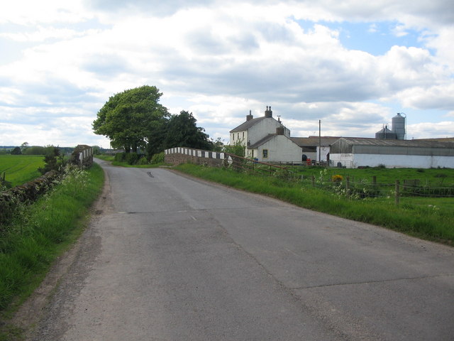
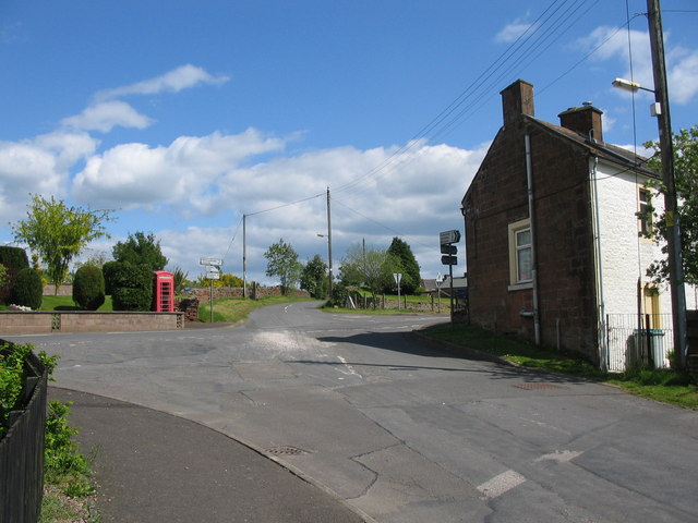
Cars Wood Images
Images are sourced within 2km of 55.176464/-3.4695811 or Grid Reference NY0687. Thanks to Geograph Open Source API. All images are credited.


Cars Wood is located at Grid Ref: NY0687 (Lat: 55.176464, Lng: -3.4695811)
Unitary Authority: Dumfries and Galloway
Police Authority: Dumfries and Galloway
What 3 Words
///resold.boast.factored. Near Johnstonebridge, Dumfries & Galloway
Nearby Locations
Related Wikis

Dumfriesshire
Dumfriesshire or the County of Dumfries or Shire of Dumfries (Scottish Gaelic: Siorrachd Dhùn Phris) is a historic county and registration county in southern...

Corncockle Quarry
Corncockle Quarry was a large and historically important sandstone quarry near Templand in Dumfries and Galloway, Scotland. Stone from here was used in...
Templand
Templand is a village in Dumfriesshire, Scotland, located around 4.5 miles (7.2 km) northwest of Lockerbie. Templand was built during the Industrial Revolution...
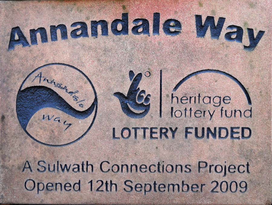
Annandale Way
The Annandale Way is a 90-kilometre (56 mi) hiking trail in Scotland, which is officially designated by NatureScot as one of Scotland's Great Trails. It...
Nearby Amenities
Located within 500m of 55.176464,-3.4695811Have you been to Cars Wood?
Leave your review of Cars Wood below (or comments, questions and feedback).