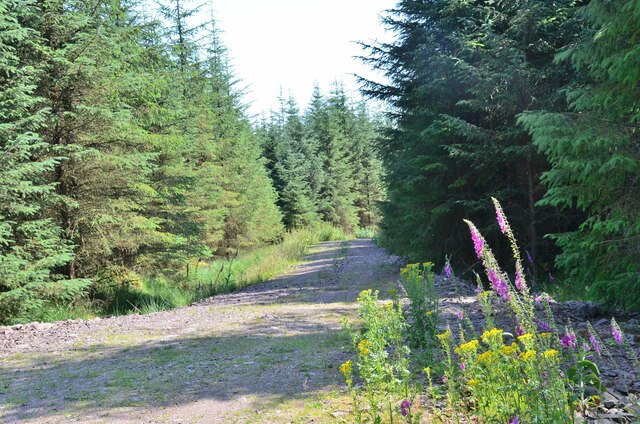
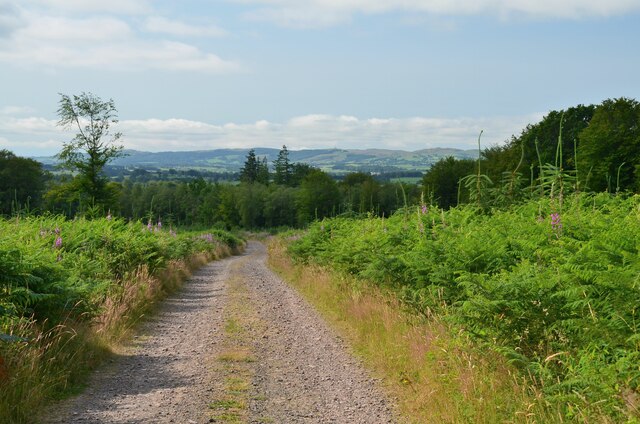
Hartfield Plantation
Wood, Forest in Dumfriesshire
Scotland
Hartfield Plantation
The requested URL returned error: 429 Too Many Requests
If you have any feedback on the listing, please let us know in the comments section below.
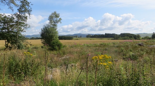
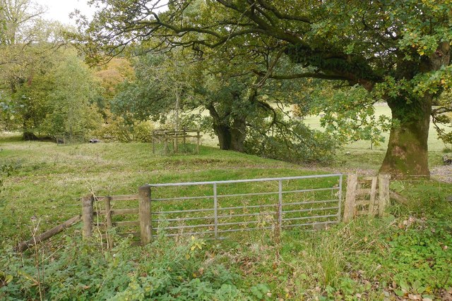
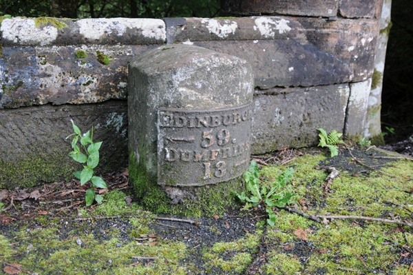
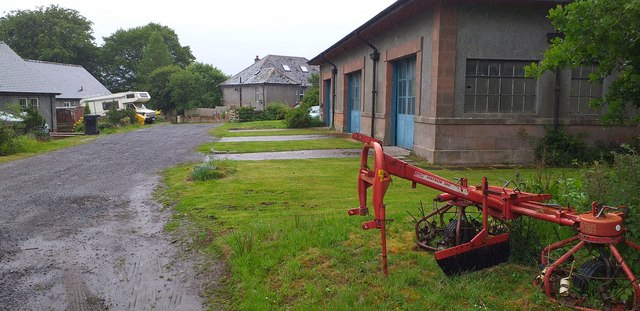
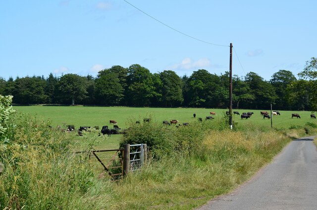
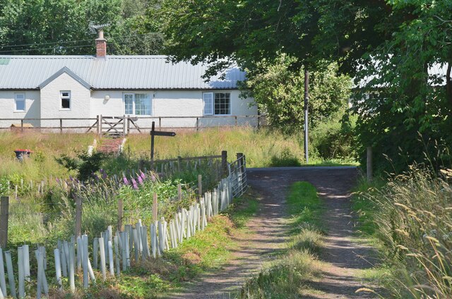
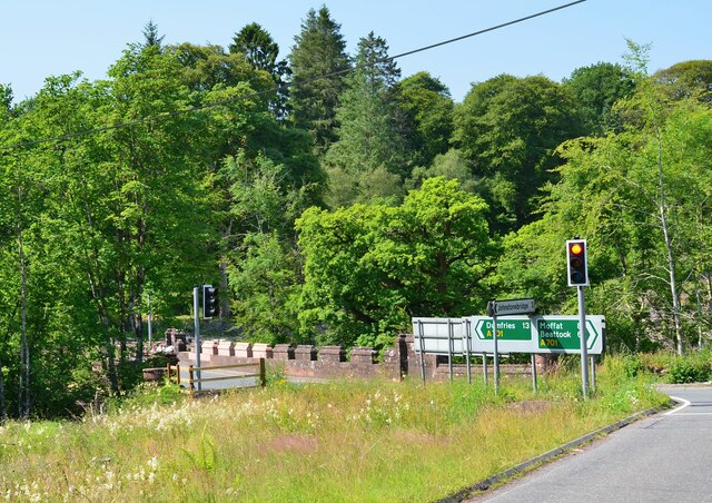
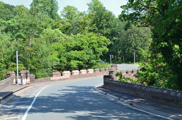
Hartfield Plantation Images
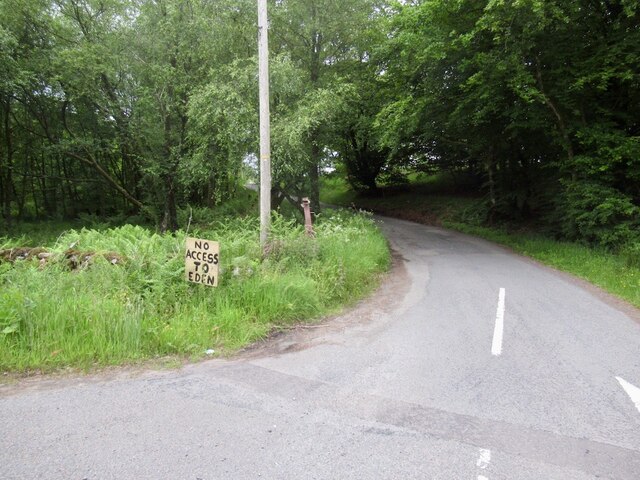
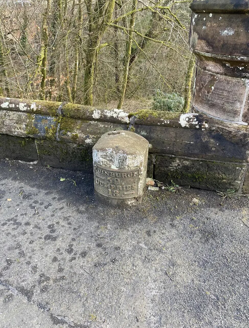
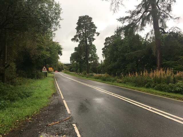
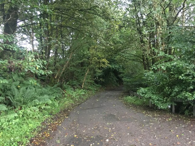
Images are sourced within 2km of 55.21632/-3.4704211 or Grid Reference NY0692. Thanks to Geograph Open Source API. All images are credited.


Hartfield Plantation is located at Grid Ref: NY0692 (Lat: 55.21632, Lng: -3.4704211)
Unitary Authority: Dumfries and Galloway
Police Authority: Dumfries and Galloway
What 3 Words
///snowmen.version.scope. Near Johnstonebridge, Dumfries & Galloway
Nearby Locations
Related Wikis

Dumfriesshire, Clydesdale and Tweeddale (UK Parliament constituency)
Dumfriesshire, Clydesdale and Tweeddale is a constituency of the House of Commons, located in the South of Scotland, within the Dumfries and Galloway,...

Johnstonebridge
Johnstonebridge is a village in Dumfries and Galloway, Scotland.It is roughly halfway between Moffat and Lockerbie, and lies on the A74(M) motorway. The...
Wallace's House
Wallace's House is an earthen rampart, located near Lochmaben, Scotland, that is associated with William Wallace. The promontory fort is a scheduled item...

Annandale Water services
Annandale Water services is a motorway service station in the village of Johnstonebridge, Scotland. The service station is located next to the A74(M) motorway...
Nearby Amenities
Located within 500m of 55.21632,-3.4704211Have you been to Hartfield Plantation?
Leave your review of Hartfield Plantation below (or comments, questions and feedback).