Alder Pool

Lake, Pool, Pond, Freshwater Marsh in Dumfriesshire

Scotland

Alder Pool

Road junction, St Ann's Due to the high wholesale costs of gas, the flaming sword has been replaced by a sign.   (Refers to a festival up the road)
Road junction, St Ann's Credit: Richard Webb

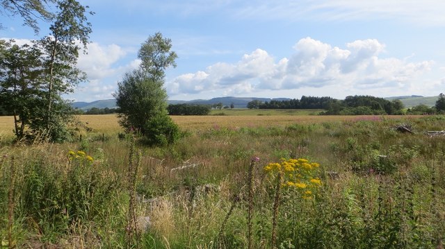
Alder Pool is a picturesque freshwater marsh located in Dumfriesshire, Scotland. Nestled in the heart of the countryside, this small body of water is a hidden gem for nature enthusiasts and bird watchers alike. With its diverse ecosystem and serene atmosphere, Alder Pool offers a tranquil escape from the hustle and bustle of everyday life.

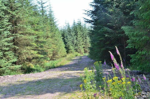
Covering an area of approximately two acres, Alder Pool is characterized by its shallow, clear waters and surrounding marshland. The pool is fed by a small stream that meanders through the adjacent woodland, adding to its natural charm. The water is teeming with aquatic plants such as water lilies and reeds, creating a vibrant and colorful display throughout the year.

One of the main attractions of Alder Pool is its rich birdlife. The marshland provides an ideal habitat for a variety of bird species, including mallards, coots, and moorhens. In addition, the pool attracts migratory birds during the summer months, making it a prime location for birdwatching enthusiasts. Visitors may also spot dragonflies darting above the water's surface or glimpse the occasional otter in its natural habitat.

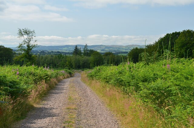
The pool is surrounded by a network of walking trails, allowing visitors to explore the surrounding woodlands and observe the diverse flora and fauna. The tranquil ambiance and stunning natural beauty of Alder Pool make it a popular destination for nature lovers seeking a peaceful retreat in Dumfriesshire.

If you have any feedback on the listing, please let us know in the comments section below.
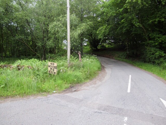
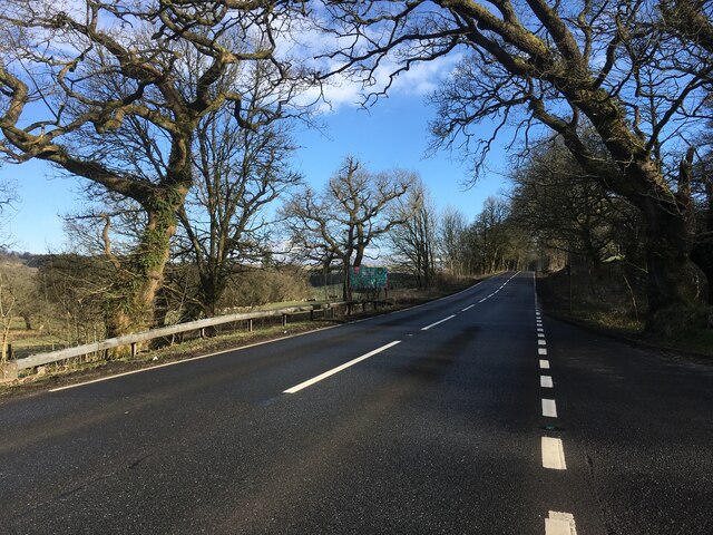
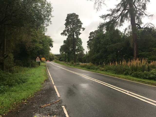
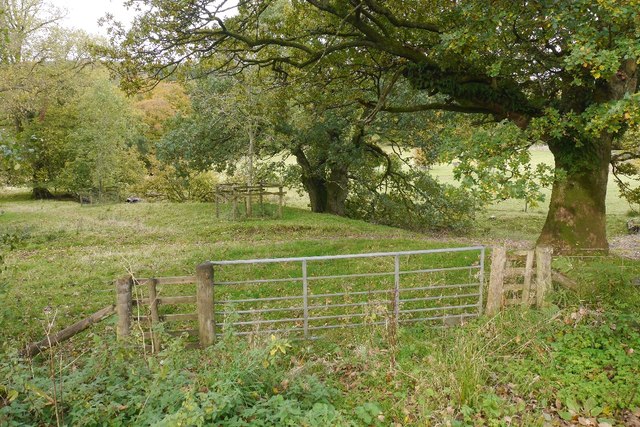
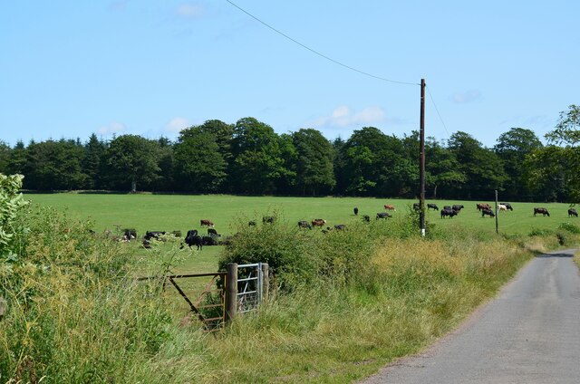
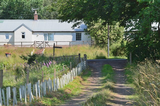
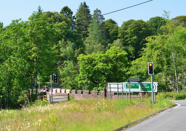
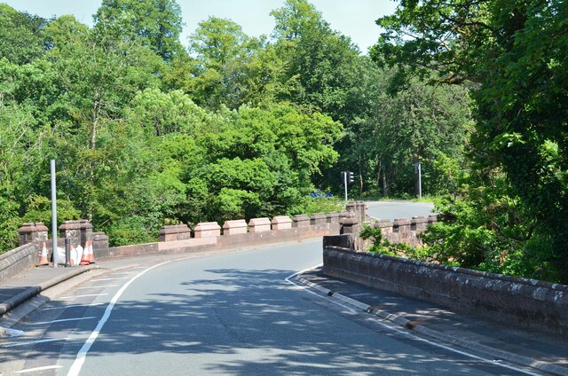
Alder Pool Images

Images are sourced within 2km of 55.21796/-3.4655615 or Grid Reference NY0692. Thanks to Geograph Open Source API. All images are credited.

Road junction, St Ann's Due to the high wholesale costs of gas, the flaming sword has been replaced by a sign.   (Refers to a festival up the road)
Road junction, St Ann's
Due to the high wholesale costs of gas, the flaming sword has been replaced by a sign. (Refers to a festival up the road)
A701 towards Beattock
A701 towards Dumfries
Old Milestone by the A701, St Ann's Bridge, Johnstone parish Dumfries red sandstone with plate by the A701, in parish of Johnstone (Annandale District), St Ann's, just West of bridge over Kinnel Water. South side of road.

Inscription reads:-
EDINBURGH
{<-arrow} 59.
DUMFRIES
13 {arrow->}

Milestone Society National ID: DG_DFMF13
Old Milestone by the A701, St Ann's Bridge, Johnstone parish
Dumfries red sandstone with plate by the A701, in parish of Johnstone (Annandale District), St Ann's, just West of bridge over Kinnel Water. South side of road. Inscription reads:- EDINBURGH {<-arrow} 59. DUMFRIES 13 {arrow->} Milestone Society National ID: DG_DFMF13
A701 towards Dumfries
Gated farm track near Blackacre
Felled woodland Felled plantation beside the B7020.
Felled woodland
Felled plantation beside the B7020.
B7020, Kilnpot Wood
B7020, Kilnpot Wood
Parkland, Raehills There are a lot of mature oaks here. View from the A701.
Parkland, Raehills
There are a lot of mature oaks here. View from the A701.
Old Milestone by the A701, St Ann's Bridge, Johnstone parish Dumfries red sandstone with plate by the A701, in parish of Johnstone (Annandale District), St Ann&amp;#039;s, just West of bridge over Kinnel Water. South side of road.

Inscription reads:-
EDINBURGH
{&amp;lt;-arrow} 59.
DUMFRIES
13 {arrow-&amp;gt;}

Surveyed

Milestone Society National ID: DG_DFMF13
Old Milestone by the A701, St Ann's Bridge, Johnstone parish
Dumfries red sandstone with plate by the A701, in parish of Johnstone (Annandale District), St Ann's, just West of bridge over Kinnel Water. South side of road. Inscription reads:- EDINBURGH {<-arrow} 59. DUMFRIES 13 {arrow->} Surveyed Milestone Society National ID: DG_DFMF13
Cattle grazing near Greenbeck Farmland in Annandale; the Annandale Way heads left through the gate on its way north to Moffat.
Cattle grazing near Greenbeck
Farmland in Annandale; the Annandale Way heads left through the gate on its way north to Moffat.
Annandale Way in farmland The Way follows the field edge to pick up a track to a minor road at Blackburn.
Annandale Way in farmland
The Way follows the field edge to pick up a track to a minor road at Blackburn.
Joining the road at Blackburn Cottage The Annandale Way turns right for about 100m before leaving the road to continue north.
Joining the road at Blackburn Cottage
The Annandale Way turns right for about 100m before leaving the road to continue north.
St Ann's Bridge, A701 Approaching the bridge on the minor road from Blackburn. Traffic lights control the flow across this narrow bridge over the Kinnel Water, a tributary of the River Annan.
St Ann's Bridge, A701
Approaching the bridge on the minor road from Blackburn. Traffic lights control the flow across this narrow bridge over the Kinnel Water, a tributary of the River Annan.
St Ann's Bridge, A701 (2) A bridge over the Kinnel Water on the busy A701 Moffat to Dumfries road. The repairs suggest that someone misjudged the bend...
St Ann's Bridge, A701 (2)
A bridge over the Kinnel Water on the busy A701 Moffat to Dumfries road. The repairs suggest that someone misjudged the bend...
Moss Plantation A coniferous plantation by the A701.
Moss Plantation
A coniferous plantation by the A701.
Track from Blackburn Cottage On the Annandale Way on the track up to Hazelbank Plantation. Replanted conifers are growing in this part of the plantation.
Track from Blackburn Cottage
On the Annandale Way on the track up to Hazelbank Plantation. Replanted conifers are growing in this part of the plantation.
Annandale Way at Hazelbank Plantation A junction on the forest track.
Annandale Way at Hazelbank Plantation
A junction on the forest track.
Show me another place!

Alder Pool is located at Grid Ref: NY0692 (Lat: 55.21796, Lng: -3.4655615)

Unitary Authority: Dumfries and Galloway

Police Authority: Dumfries and Galloway

What 3 Words

///dwarves.ridiculed.glosses. Near Johnstonebridge, Dumfries & Galloway

Related Wikis

Dumfriesshire, Clydesdale and Tweeddale (UK Parliament constituency)

Dumfriesshire, Clydesdale and Tweeddale is a constituency of the House of Commons, located in the South of Scotland, within the Dumfries and Galloway,...

Johnstonebridge

Johnstonebridge is a village in Dumfries and Galloway, Scotland.It is roughly halfway between Moffat and Lockerbie, and lies on the A74(M) motorway. The...

Annandale Water services

Annandale Water services is a motorway service station in the village of Johnstonebridge, Scotland. The service station is located next to the A74(M) motorway...

Annandale Water

Annandale Water is a loch in Annandale, Dumfries and Galloway, in the south west of Scotland. It is part of Annandale Water service station at Junction...

Nearby Amenities

Located within 500m of 55.21796,-3.4655615
Parking
Source: survey
Lat/Long: 55.2198127/-3.4673769
The data included in this document is from www.openstreetmap.org. The data is made available under ODbL.

Have you been to Alder Pool?

Leave your review of Alder Pool below (or comments, questions and feedback).