Wallace's Loup
Lake, Pool, Pond, Freshwater Marsh in Dumfriesshire
Scotland
Wallace's Loup
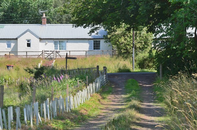
Wallace's Loup is a picturesque freshwater marsh located in Dumfriesshire, Scotland. Spanning over a vast area, it offers a serene and tranquil environment for nature enthusiasts and birdwatchers alike. The loup is situated near the village of Wallace and is named after the nearby River Loup.
This marshland features a variety of aquatic habitats, including a lake, pool, pond, and freshwater marsh. The lake is a prominent feature, serving as a breeding ground and habitat for numerous aquatic species. Its calm waters are home to a diverse range of fish, including trout and perch.
The pool and pond within Wallace's Loup are smaller bodies of water, providing a haven for amphibians and small aquatic creatures. These areas are highly biodiverse, attracting a wide range of wildlife, such as frogs, newts, and dragonflies. The abundant vegetation surrounding the pool and pond creates an ideal habitat for water-loving plants like water lilies and reeds.
The freshwater marsh, characterized by its wet and marshy terrain, is a crucial component of the ecosystem. It supports a variety of plant life, including sedges, rushes, and cattails. This marshland acts as a filter, purifying water and preventing sediment runoff into the lake and surrounding water bodies.
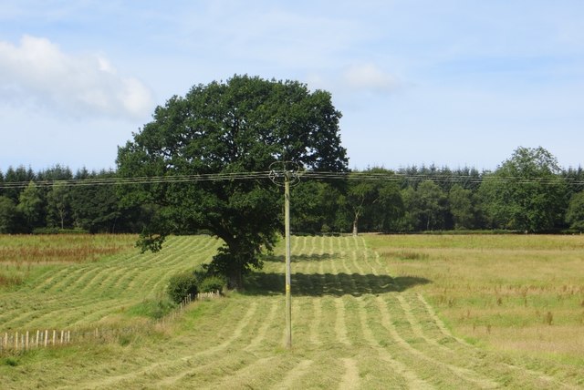
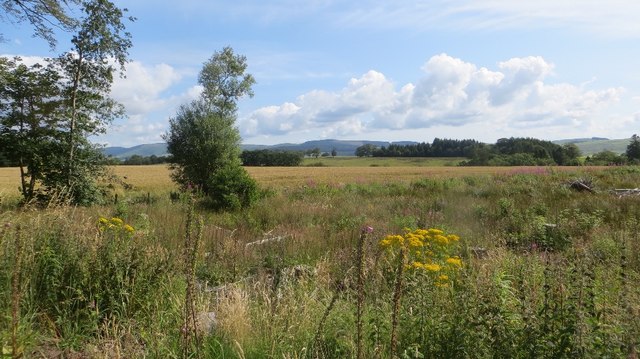
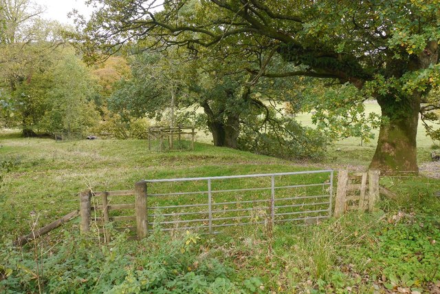
The natural beauty of Wallace's Loup is further enhanced by its scenic surroundings. Visitors can enjoy stunning views of rolling hills, meadows, and woodlands, creating a picturesque backdrop for this thriving aquatic ecosystem. The marshland provides a vital habitat for a wide range of bird species, making it a popular spot for birdwatching enthusiasts.
In summary, Wallace's Loup in Dumfriesshire is a diverse and thriving freshwater ecosystem, encompassing a lake, pool, pond, and freshwater marsh. With its rich biodiversity and stunning scenery, it is a haven for both wildlife and nature lovers.
If you have any feedback on the listing, please let us know in the comments section below.
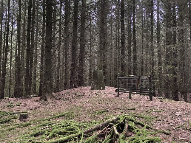
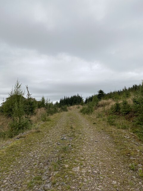
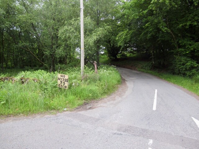
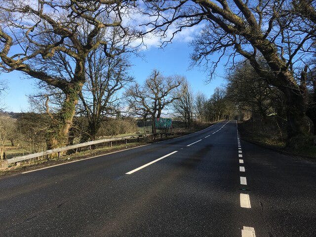
Wallace's Loup Images
Images are sourced within 2km of 55.227528/-3.4658661 or Grid Reference NY0693. Thanks to Geograph Open Source API. All images are credited.


Wallace's Loup is located at Grid Ref: NY0693 (Lat: 55.227528, Lng: -3.4658661)
Unitary Authority: Dumfries and Galloway
Police Authority: Dumfries and Galloway
What 3 Words
///shoelaces.offhand.amount. Near Johnstonebridge, Dumfries & Galloway
Nearby Locations
Related Wikis

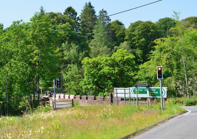
Johnstonebridge
Johnstonebridge is a village in Dumfries and Galloway, Scotland.It is roughly halfway between Moffat and Lockerbie, and lies on the A74(M) motorway. The...

Lochwood Tower
Lochwood Tower, also known as Lochwood Castle, is a ruined 16th-century L-plan tower house situated in Annandale (Valley of the River Annan) about 6 miles...

Annandale Water services
Annandale Water services is a motorway service station in the village of Johnstonebridge, Scotland. The service station is located next to the A74(M) motorway...

Annandale Water
Annandale Water is a loch in Annandale, Dumfries and Galloway, in the south west of Scotland. It is part of Annandale Water service station at Junction...

Dumfriesshire, Clydesdale and Tweeddale (UK Parliament constituency)
Dumfriesshire, Clydesdale and Tweeddale is a constituency of the House of Commons, located in the South of Scotland, within the Dumfries and Galloway,...
Wallace's House
Wallace's House is an earthen rampart, located near Lochmaben, Scotland, that is associated with William Wallace. The promontory fort is a scheduled item...

Newton Wamphray
Newton Wamphray is a village in Dumfries and Galloway. Wamphray is the name of the surrounding parish and of the Wamphray Water, which flows south-west...

Wamphray railway station
Wamphray railway station served Newton Wamphray, near Beattock, in the Scottish county of Dumfries and Galloway. It was served by local trains on what...
Nearby Amenities
Located within 500m of 55.227528,-3.4658661Have you been to Wallace's Loup?
Leave your review of Wallace's Loup below (or comments, questions and feedback).