Crunzierton Moss

Wood, Forest in Dumfriesshire

Scotland

Crunzierton Moss

Hazelbank Trig Point Flush Bracket S7702
Hazelbank Trig Point Flush Bracket S7702 Credit: thejackrustles

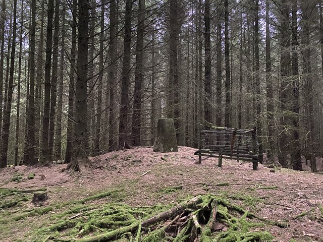
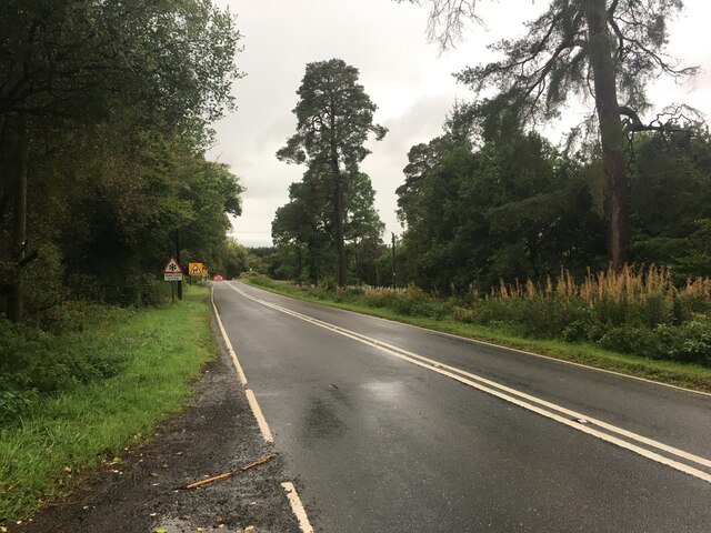
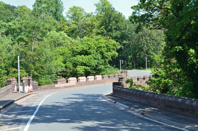
Crunzierton Moss is a captivating woodland area located in Dumfriesshire, Scotland. Covering a vast expanse, it is known for its dense and ancient forests, making it a popular destination for nature enthusiasts and hikers alike.

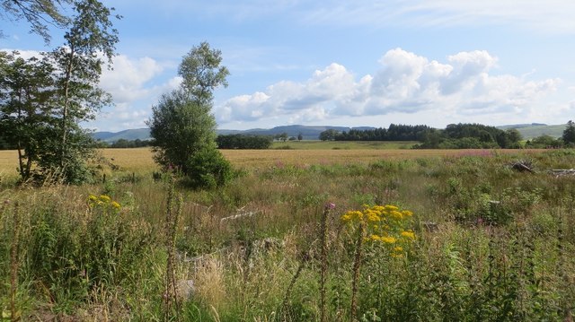
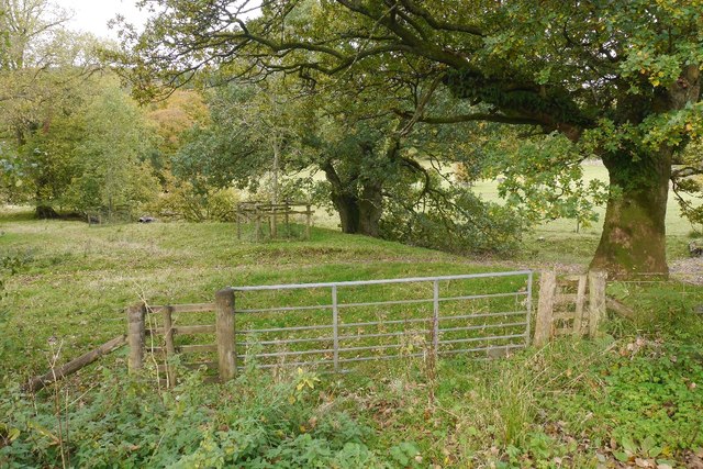
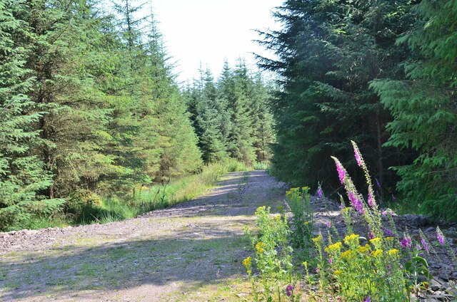
The moss is primarily composed of a mixture of deciduous and coniferous trees, creating a diverse and vibrant ecosystem. Towering oaks, majestic pines, and sprawling beech trees dominate the landscape, providing a sanctuary for a wide range of flora and fauna. The forest floor is carpeted with thick mosses, ferns, and wildflowers, adding to its enchanting appeal.

Wandering through Crunzierton Moss, visitors can immerse themselves in the serenity of nature. The air is filled with the earthy scent of damp leaves and the songs of various bird species. The moss is also home to a variety of wildlife, including red squirrels, badgers, and an array of bird species such as woodpeckers and owls.

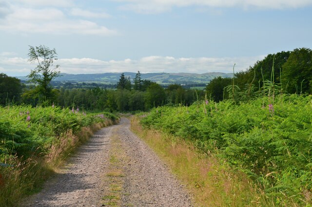
For those who enjoy outdoor activities, Crunzierton Moss offers numerous walking trails and paths, allowing visitors to explore the forest at their own pace. These trails lead adventurers through hidden groves, babbling brooks, and serene ponds. The moss is particularly beautiful during the autumn months when the foliage transforms into a breathtaking display of fiery reds, oranges, and yellows.

Crunzierton Moss is not only a natural wonder but also holds cultural significance. It has been a source of inspiration for artists, writers, and poets throughout the years. Its timeless beauty continues to captivate and inspire all who have the privilege of experiencing its magic.

If you have any feedback on the listing, please let us know in the comments section below.

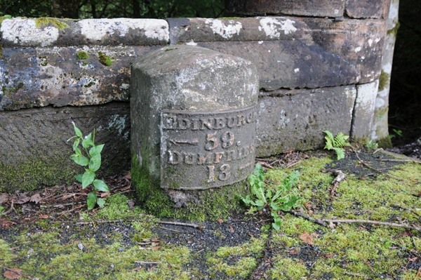
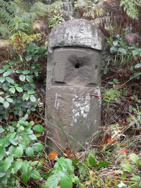
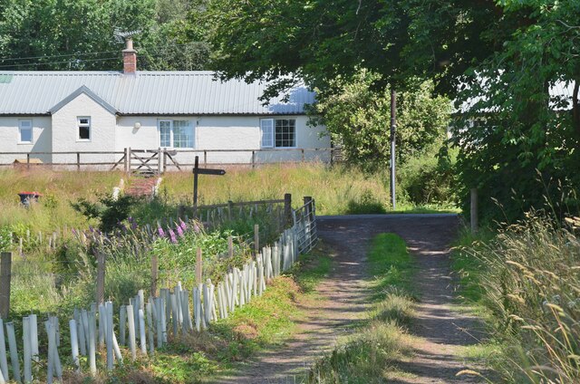
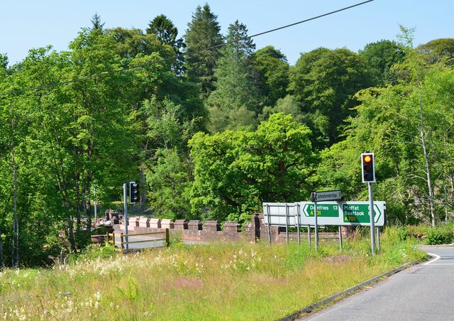
Crunzierton Moss Images

Images are sourced within 2km of 55.223402/-3.4704465 or Grid Reference NY0693. Thanks to Geograph Open Source API. All images are credited.

Hazelbank Trig Point Flush Bracket S7702
Road junction, St Ann's Due to the high wholesale costs of gas, the flaming sword has been replaced by a sign.   (Refers to a festival up the road)
Road junction, St Ann's
Due to the high wholesale costs of gas, the flaming sword has been replaced by a sign. (Refers to a festival up the road)
A701 towards Beattock
A701 towards Dumfries
Old Milestone by the A701, St Ann's Bridge, Johnstone parish Dumfries red sandstone with plate by the A701, in parish of Johnstone (Annandale District), St Ann's, just West of bridge over Kinnel Water. South side of road.

Inscription reads:-
EDINBURGH
{<-arrow} 59.
DUMFRIES
13 {arrow->}

Milestone Society National ID: DG_DFMF13
Old Milestone by the A701, St Ann's Bridge, Johnstone parish
Dumfries red sandstone with plate by the A701, in parish of Johnstone (Annandale District), St Ann's, just West of bridge over Kinnel Water. South side of road. Inscription reads:- EDINBURGH {<-arrow} 59. DUMFRIES 13 {arrow->} Milestone Society National ID: DG_DFMF13
A701 towards Dumfries
Gated farm track near Blackacre
Felled woodland Felled plantation beside the B7020.
Felled woodland
Felled plantation beside the B7020.
B7020, Kilnpot Wood
B7020, Kilnpot Wood
Parkland, Raehills There are a lot of mature oaks here. View from the A701.
Parkland, Raehills
There are a lot of mature oaks here. View from the A701.
Old Milestone by the A701, near Hennie's Hill, Johnstone parish Dumfries red sandstone by the A701, in parish of Johnstone (Annandale District), Hennie&amp;#039;s Hill, on verge in woods, East side of track.

Surveyed

Milestone Society National ID: DG_DFMF14
Old Milestone by the A701, near Hennie's Hill, Johnstone parish
Dumfries red sandstone by the A701, in parish of Johnstone (Annandale District), Hennie's Hill, on verge in woods, East side of track. Surveyed Milestone Society National ID: DG_DFMF14
Old Milestone by the A701, St Ann's Bridge, Johnstone parish Dumfries red sandstone with plate by the A701, in parish of Johnstone (Annandale District), St Ann&amp;#039;s, just West of bridge over Kinnel Water. South side of road.

Inscription reads:-
EDINBURGH
{&amp;lt;-arrow} 59.
DUMFRIES
13 {arrow-&amp;gt;}

Surveyed

Milestone Society National ID: DG_DFMF13
Old Milestone by the A701, St Ann's Bridge, Johnstone parish
Dumfries red sandstone with plate by the A701, in parish of Johnstone (Annandale District), St Ann's, just West of bridge over Kinnel Water. South side of road. Inscription reads:- EDINBURGH {<-arrow} 59. DUMFRIES 13 {arrow->} Surveyed Milestone Society National ID: DG_DFMF13
Old milestone On the A701 at Hennies Hill, another stone that has had its plate either removed in 1940 or stolen.  The legend was Edinburgh 58, Dumfries 14.

Moderator.  Please substitute this pic for the blue one already noted in this grid square.  it is the same stone.
Old milestone
On the A701 at Hennies Hill, another stone that has had its plate either removed in 1940 or stolen. The legend was Edinburgh 58, Dumfries 14. Moderator. Please substitute this pic for the blue one already noted in this grid square. it is the same stone.
Joining the road at Blackburn Cottage The Annandale Way turns right for about 100m before leaving the road to continue north.
Joining the road at Blackburn Cottage
The Annandale Way turns right for about 100m before leaving the road to continue north.
St Ann's Bridge, A701 Approaching the bridge on the minor road from Blackburn. Traffic lights control the flow across this narrow bridge over the Kinnel Water, a tributary of the River Annan.
St Ann's Bridge, A701
Approaching the bridge on the minor road from Blackburn. Traffic lights control the flow across this narrow bridge over the Kinnel Water, a tributary of the River Annan.
St Ann's Bridge, A701 (2) A bridge over the Kinnel Water on the busy A701 Moffat to Dumfries road. The repairs suggest that someone misjudged the bend...
St Ann's Bridge, A701 (2)
A bridge over the Kinnel Water on the busy A701 Moffat to Dumfries road. The repairs suggest that someone misjudged the bend...
Moss Plantation A coniferous plantation by the A701.
Moss Plantation
A coniferous plantation by the A701.
Track from Blackburn Cottage On the Annandale Way on the track up to Hazelbank Plantation. Replanted conifers are growing in this part of the plantation.
Track from Blackburn Cottage
On the Annandale Way on the track up to Hazelbank Plantation. Replanted conifers are growing in this part of the plantation.
Show me another place!

Crunzierton Moss is located at Grid Ref: NY0693 (Lat: 55.223402, Lng: -3.4704465)

Unitary Authority: Dumfries and Galloway

Police Authority: Dumfries and Galloway

What 3 Words

///glassware.hers.qualifier. Near Johnstonebridge, Dumfries & Galloway
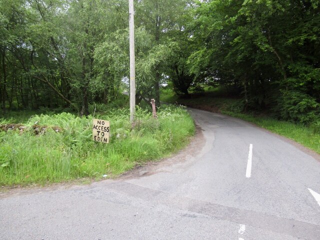
Related Wikis

Dumfriesshire, Clydesdale and Tweeddale (UK Parliament constituency)

Dumfriesshire, Clydesdale and Tweeddale is a constituency of the House of Commons, located in the South of Scotland, within the Dumfries and Galloway,...

Johnstonebridge

Johnstonebridge is a village in Dumfries and Galloway, Scotland.It is roughly halfway between Moffat and Lockerbie, and lies on the A74(M) motorway. The...

Wallace's House

Wallace's House is an earthen rampart, located near Lochmaben, Scotland, that is associated with William Wallace. The promontory fort is a scheduled item...

Annandale Water services

Annandale Water services is a motorway service station in the village of Johnstonebridge, Scotland. The service station is located next to the A74(M) motorway...

Annandale Water

Annandale Water is a loch in Annandale, Dumfries and Galloway, in the south west of Scotland. It is part of Annandale Water service station at Junction...

Lochwood Tower

Lochwood Tower, also known as Lochwood Castle, is a ruined 16th-century L-plan tower house situated in Annandale (Valley of the River Annan) about 6 miles...

Dinwoodie railway station

Dinwoodie railway station was a station which served the rural area around the settlement of Dinwoodie, 6 miles north of Lockerbie in Applegarth parish...

Newton Wamphray

Newton Wamphray is a village in Dumfries and Galloway. Wamphray is the name of the surrounding parish and of the Wamphray Water, which flows south-west...

Nearby Amenities

Located within 500m of 55.223402,-3.4704465
Traffic Signals
Lat/Long: 55.2256308/-3.4647857
Traffic Signals
Lat/Long: 55.2255696/-3.4663967
Parking
Source: survey
Lat/Long: 55.2198127/-3.4673769
The data included in this document is from www.openstreetmap.org. The data is made available under ODbL.

Have you been to Crunzierton Moss?

Leave your review of Crunzierton Moss below (or comments, questions and feedback).