Stragglingwath Plantation

Wood, Forest in Dumfriesshire

Scotland

Stragglingwath Plantation

Old milestone This milestone once had more white paint on the stone.  Although sunken in the verge it is fairly easy to spot just west of the lane that leads to Howthat.  The damage to the top left hand side was probably done many years ago.
Old milestone Credit: Chris Minto

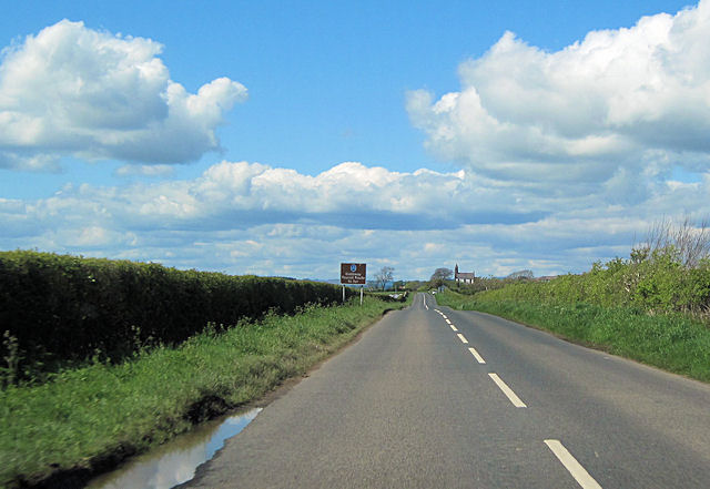
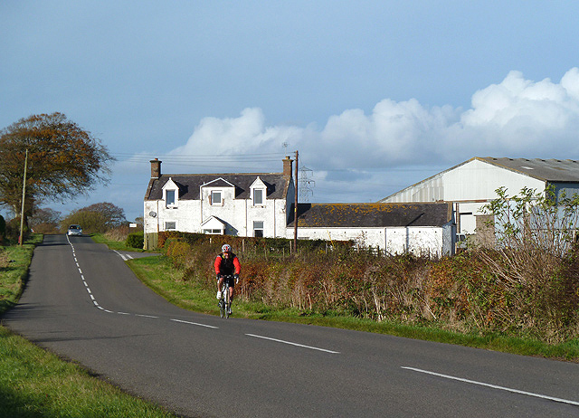
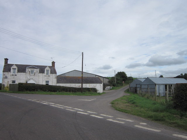
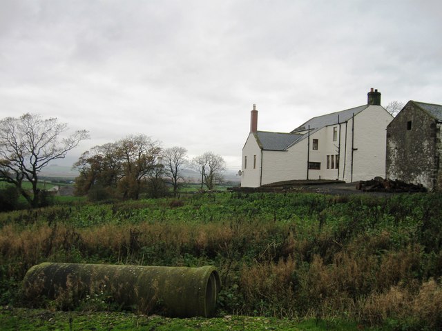
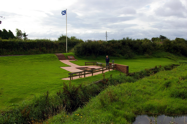
Stragglingwath Plantation is a picturesque woodland area located in Dumfriesshire, Scotland. Covering an expansive area of approximately 500 acres, the plantation is known for its diverse range of flora and fauna, making it a popular destination for nature enthusiasts and hikers alike.

The woodland is primarily composed of native Scottish tree species such as oak, beech, and birch, which create a lush and vibrant landscape throughout the year. The canopy formed by these trees provides a habitat for a variety of bird species, including woodpeckers, owls, and finches. It is not uncommon to spot deer or red squirrels roaming through the plantation, adding to the area's natural charm.

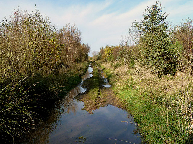
Tranquil walking trails wind their way through the plantation, allowing visitors to immerse themselves in the peaceful surroundings. The paths are well-maintained and suitable for all fitness levels, making them accessible to a wide range of visitors. Along the trails, you may come across small streams and hidden ponds, adding to the enchanting atmosphere of the woodland.

The plantation is open to the public year-round, and there are no admission fees. It is recommended to bring appropriate footwear, as some paths can become muddy during wet weather. Additionally, visitors are encouraged to follow the marked trails and respect the natural environment by not disturbing or removing any flora or fauna.

Stragglingwath Plantation offers a breathtaking glimpse into the natural beauty of Dumfriesshire, making it a must-visit destination for anyone seeking a peaceful retreat in the heart of Scotland.

If you have any feedback on the listing, please let us know in the comments section below.

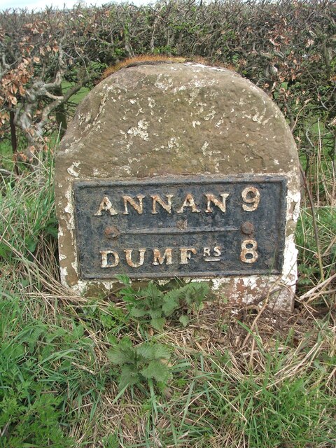
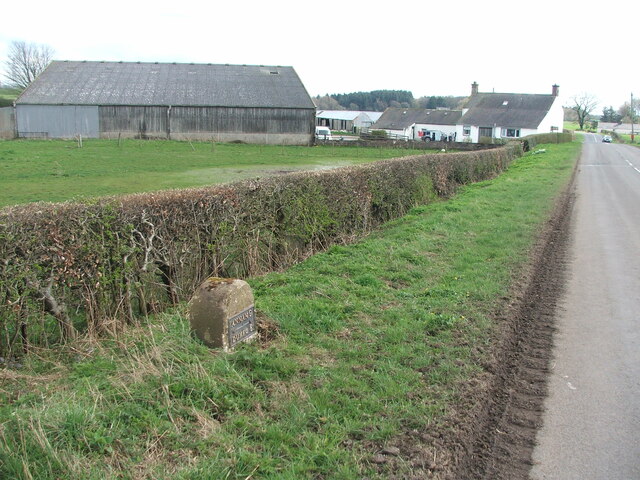
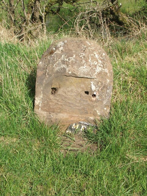
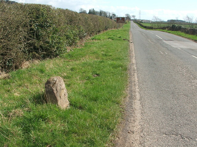
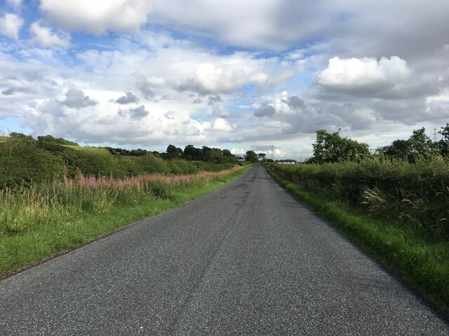
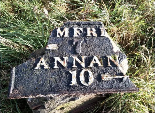
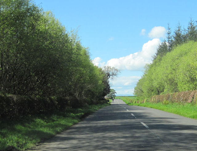
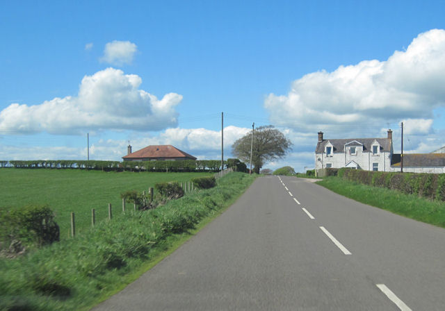
Stragglingwath Plantation Images

Images are sourced within 2km of 55.018644/-3.4628312 or Grid Reference NY0670. Thanks to Geograph Open Source API. All images are credited.

Old milestone This milestone once had more white paint on the stone.  Although sunken in the verge it is fairly easy to spot just west of the lane that leads to Howthat.  The damage to the top left hand side was probably done many years ago.
Old milestone
This milestone once had more white paint on the stone. Although sunken in the verge it is fairly easy to spot just west of the lane that leads to Howthat. The damage to the top left hand side was probably done many years ago.
Old milestone A view of the 9 miles from Annan milestone with East Bowerhouse Farm in the distance.   Neatly rimmed hedges.
Old milestone
A view of the 9 miles from Annan milestone with East Bowerhouse Farm in the distance. Neatly rimmed hedges.
Old milestone The plate of the Annan 10 milestone has come adrift.   The top right hand corner of the plate was broken off long ago and now more is lost.   Travelling towards Annan the milestone is south of Mousewald just beyond a lane on the right to Townfoot.  It is near a little bridge and a small lay-by.   As the plate has recently come off, the way these plates were fixed to the stones is clearly shown.
Old milestone
The plate of the Annan 10 milestone has come adrift. The top right hand corner of the plate was broken off long ago and now more is lost. Travelling towards Annan the milestone is south of Mousewald just beyond a lane on the right to Townfoot. It is near a little bridge and a small lay-by. As the plate has recently come off, the way these plates were fixed to the stones is clearly shown.
Old milestone Looking south east in the direction of Annan.  The brown sign indicates the Galloway Tourist Route to Gretna Green.
Old milestone
Looking south east in the direction of Annan. The brown sign indicates the Galloway Tourist Route to Gretna Green.
Old milestone The Annan 10 milestone may have lost its plate and be quite eroded but there is clear cut benchmark on the top edge.
Old milestone
The Annan 10 milestone may have lost its plate and be quite eroded but there is clear cut benchmark on the top edge.
B724 north of Clarencefield
B724 towards Mouswald
B724 towards Clarencefield
Old Milestone by the B724, south of Townfoot Bridge, Mouswald Stone post with metal plate by the B724, in parish of Mouswald (Annandale District), Townfoot, near a little bridge and small lay-by, East side of road. Plate broken.

Inscription reads:-
DUMFRI(ES)
{<-arrow} 7
ANNAN
10 {arrow->}
Carved bench mark and pivot on top.

Surveyed

Milestone Society National ID: DG_ANDF10
Old Milestone by the B724, south of Townfoot Bridge, Mouswald
Stone post with metal plate by the B724, in parish of Mouswald (Annandale District), Townfoot, near a little bridge and small lay-by, East side of road. Plate broken. Inscription reads:- DUMFRI(ES) {<-arrow} 7 ANNAN 10 {arrow->} Carved bench mark and pivot on top. Surveyed Milestone Society National ID: DG_ANDF10
B724 through Long Plantation near Lime Kilns This is at the northerly end of the trees
B724 through Long Plantation near Lime Kilns
This is at the northerly end of the trees
East Bowerhouses road junction From B724 westbound
East Bowerhouses road junction
From B724 westbound
Long straight north of Mount Kedar
The B724 at East Bowerhouses East Bowerhouses Farm is on the northeast side of the road.
The B724 at East Bowerhouses
East Bowerhouses Farm is on the northeast side of the road.
A track in Stragglingwath Plantation The track was under water in many places after some prolonged rain. The surrounding farmland was also very saturated.
A track in Stragglingwath Plantation
The track was under water in many places after some prolonged rain. The surrounding farmland was also very saturated.
Farmland at South Bowerhouses South Bowerhouses Farm is in the background.
Farmland at South Bowerhouses
South Bowerhouses Farm is in the background.
East Bowerhouses on the B724
Howthat Farm
Howthat Farm
Show me another place!

Stragglingwath Plantation is located at Grid Ref: NY0670 (Lat: 55.018644, Lng: -3.4628312)

Unitary Authority: Dumfries and Galloway

Police Authority: Dumfries and Galloway

What 3 Words

///interviewer.distanced.question. Near Dumfries, Dumfries & Galloway

Nearby Locations

Stragglingwath Plantation

Related Wikis

Mouswald

Mouswald is a rural village slightly east of Dumfries in south-west Scotland. It lies on the B724 south of the A75. The site views southward over the Solway...

Comlongon Castle

Comlongon Castle is a tower house dating from the later 15th century or early 16th century. It is located 1 kilometre (0.62 mi) west of the village of...

Ruthwell railway station

Ruthwell railway station was a railway station in Dumfries and Galloway south of Dumfries, serving the village of Ruthwell with its famous 8th century...

Cockpool Castle

Cockpool Castle was a castle, located at Cockpool farm, Dumfries and Galloway in Scotland.Thomas Randolph, 1st Earl of Moray, granted the lands of Cockpool...

Clarencefield

Clarencefield is a small village in Ruthwell Parish between Dumfries and Annan in Dumfries and Galloway, Scotland. It was once served by Ruthwell railway...

Brow, Dumfries and Galloway

Brow is a hamlet on the B725 lying around 3 km from Ruthwell in the Parish of that name on the Solway Firth between Dumfries and Annan in Dumfries and...

Lochar Water

Lochar Water is a small river located in Dumfries and Galloway. It flows for about 10 miles or 16 km, mainly in a southerly direction, roughly parallel...

Carrutherstown

Carrutherstown is a village in the civil parish of Dalton, in Dumfries and Galloway, Scotland. It is about 9 miles (14 km) east of Dumfries. == Demographics... ==

Nearby Amenities

Located within 500m of 55.018644,-3.4628312
Power: pole
Lat/Long: 55.0224275/-3.4587611
Power: pole
Lat/Long: 55.0221897/-3.4580578
Power: pole
Lat/Long: 55.0216241/-3.4570532
The data included in this document is from www.openstreetmap.org. The data is made available under ODbL.

Have you been to Stragglingwath Plantation?

Leave your review of Stragglingwath Plantation below (or comments, questions and feedback).