Brae-na-h-Eaglaise
Wood, Forest in Caithness
Scotland
Brae-na-h-Eaglaise
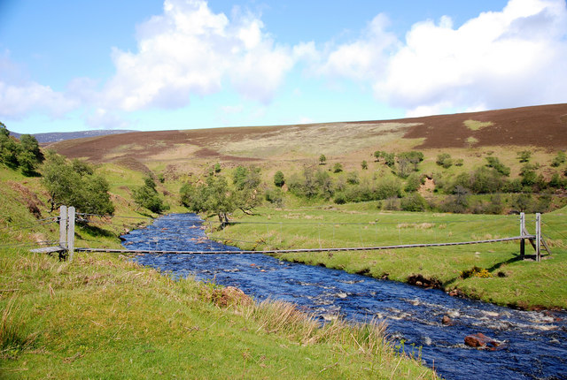
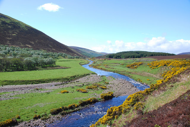
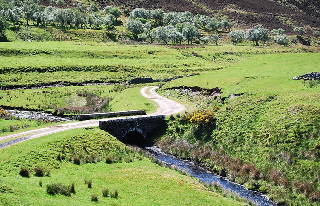
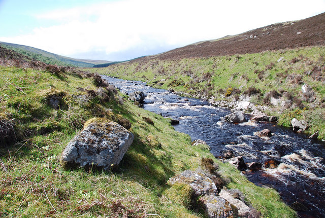
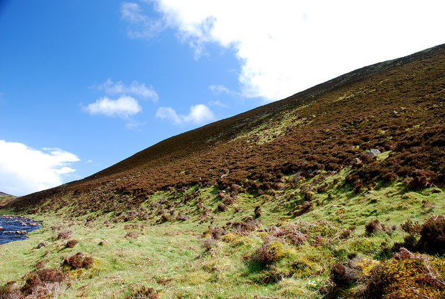
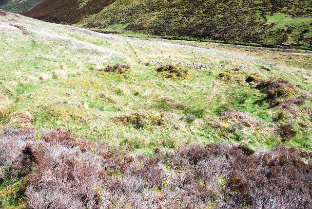
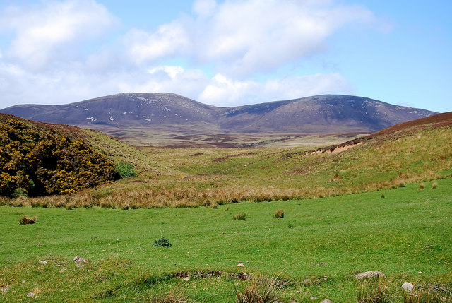
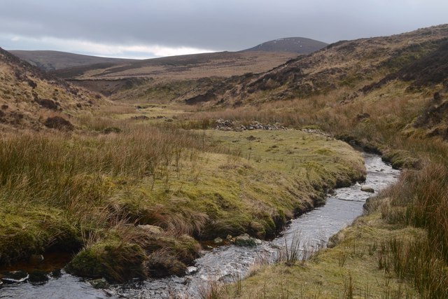
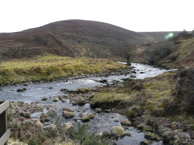
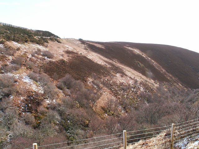
Brae-na-h-Eaglaise, also known as Wood or Forest in Caithness, is a picturesque and serene location situated in the far north of Scotland. Nestled amidst the stunning Scottish Highlands, this tranquil area is adorned with lush greenery, tall trees, and breathtaking landscapes.
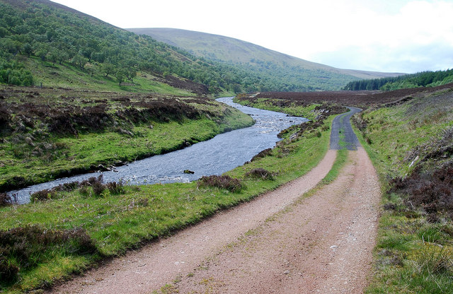
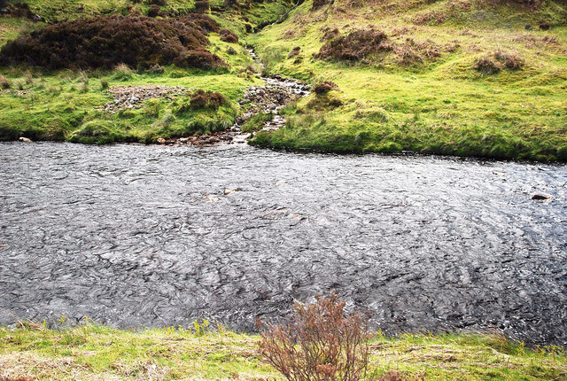
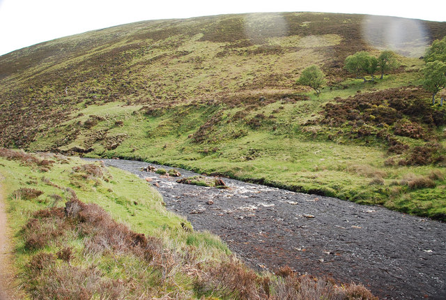
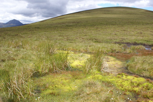
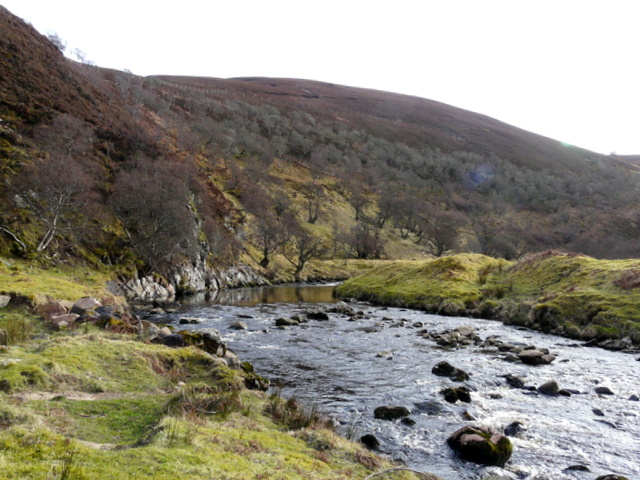
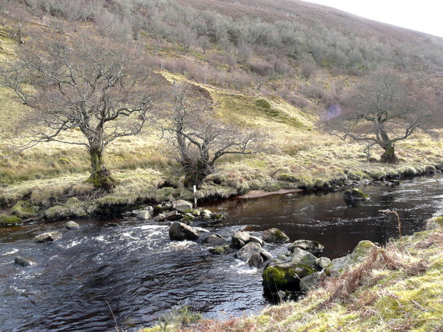
The woodland of Brae-na-h-Eaglaise is spread across a vast expanse, offering visitors a peaceful retreat away from the bustling cities. The forest is predominantly composed of native tree species such as Scots pine, birch, and rowan, creating a diverse and vibrant ecosystem. The dense foliage provides a haven for various wildlife species, including deer, birds, and even the elusive Scottish wildcat.
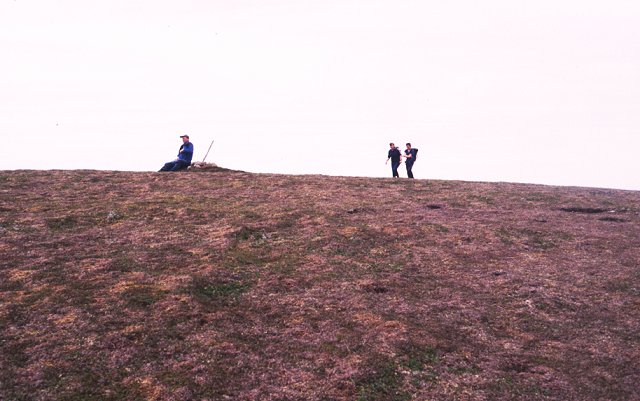
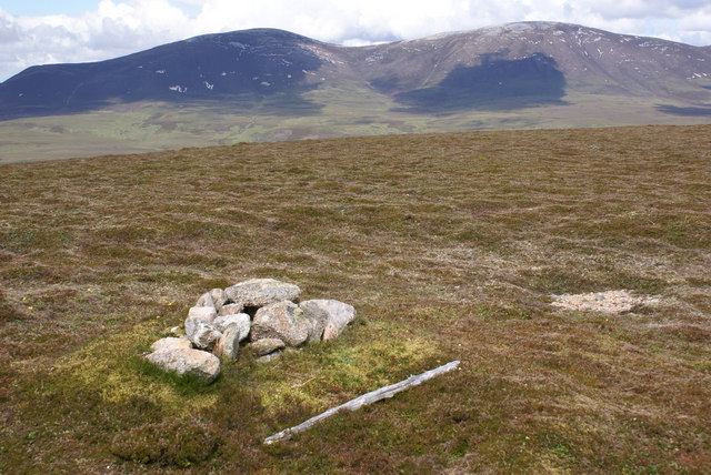
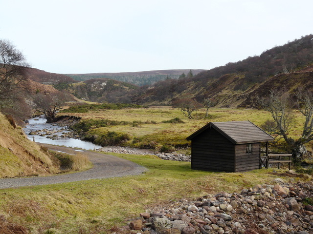
The woodland is crisscrossed with numerous well-maintained trails that allow visitors to explore its natural beauty. As one ventures deeper into the forest, they are greeted with the soothing sounds of chirping birds and rustling leaves, creating a truly immersive experience in nature. The trails also lead to several viewpoints that offer panoramic vistas of the surrounding countryside, with rolling hills and distant mountains adding to the awe-inspiring scenery.
For nature enthusiasts, Brae-na-h-Eaglaise is a haven for birdwatching, with a range of species including golden eagles, ospreys, and red kites often spotted soaring above the treetops. The forest also boasts an array of wildflowers and plants, adding bursts of color to the already picturesque landscape.
In summary, Brae-na-h-Eaglaise in Caithness is a captivating woodland sanctuary that showcases the raw beauty of the Scottish Highlands. Its abundant flora and fauna, scenic trails, and awe-inspiring views make it a must-visit destination for those seeking solace in nature.
If you have any feedback on the listing, please let us know in the comments section below.
Brae-na-h-Eaglaise Images
Images are sourced within 2km of 58.187645/-3.5906375 or Grid Reference ND0623. Thanks to Geograph Open Source API. All images are credited.
Brae-na-h-Eaglaise is located at Grid Ref: ND0623 (Lat: 58.187645, Lng: -3.5906375)
Unitary Authority: Highland
Police Authority: Highlands and Islands
What 3 Words
///suffix.agency.locked. Near Dunbeath, Highland
Nearby Locations
Related Wikis

Scaraben
Scaraben (626 m) is a hill in the Northwest Highlands of Scotland. It lies in the Caithness region, in the far north. Taking the form of a long ridge over...

Badbea
Badbea (pronounced bad-bay) is a former clearance village perched on the steep slopes above the cliff tops of Berriedale on the east coast of Caithness...

Ousdale Broch
Ousdale Broch, also known as Ousdale Burn or Allt a’ Bhurg (Scots Gaelic: ‘stream of the fort’) Broch, is an Iron Age broch (drystone tower) located between...
Ord of Caithness
The Ord of Caithness is a granite mass on the east coast of the Highland council area of Scotland, on the boundary of the counties Sutherland and Caithness...

Berriedale Church
Berriedale Church is a former church in the parish of Latheron, in Berriedale, Caithness, Scotland. Built in 1826, the T-plan building was closed as a...

Berriedale, Highland
Berriedale (Scottish Gaelic: Bearghdal) is a small estate village on the northern east coast of Caithness, Scotland, on the A9 road between Helmsdale and...

Berriedale Castle
Berriedale Castle is a ruined castle located on a promontory on the south of the entrance to the Berriedale Water, Caithness in Scotland. == Structure... ==

Berriedale Water
Berriedale Water is a short river in Caithness in northern Scotland. It arises as the Feith Gaineimh Mhor, Feith Chaorunn Mhor and Feith Fhuaran come together...
Nearby Amenities
Located within 500m of 58.187645,-3.5906375Have you been to Brae-na-h-Eaglaise?
Leave your review of Brae-na-h-Eaglaise below (or comments, questions and feedback).