Duke's Wood

Wood, Forest in Dumfriesshire

Scotland

Duke's Wood

Moffat Church St Andrew's Parish Church dominates the approach to Moffat from the south. <span class="nowrap"><a title="http://www.undiscoveredscotland.co.uk/moffat/standrews/index.html" rel="nofollow ugc noopener" href="http://www.undiscoveredscotland.co.uk/moffat/standrews/index.html">Link</a><img style="margin-left:2px;" alt="External link" title="External link - shift click to open in new window" src="https://s1.geograph.org.uk/img/external.png" width="10" height="10"/></span>
Moffat Church Credit: Dennis Turner

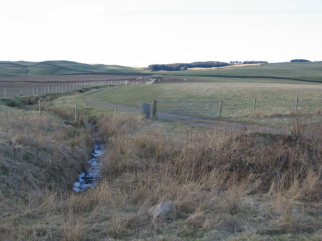
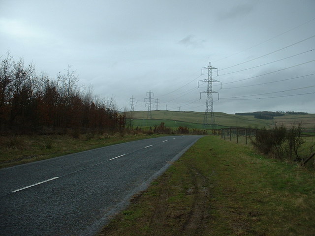
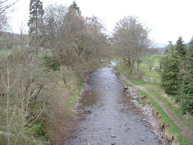
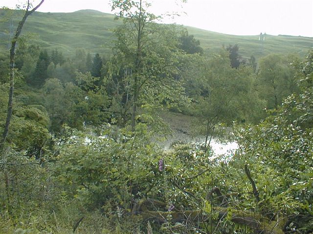
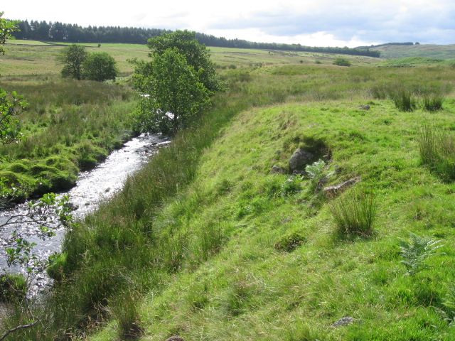
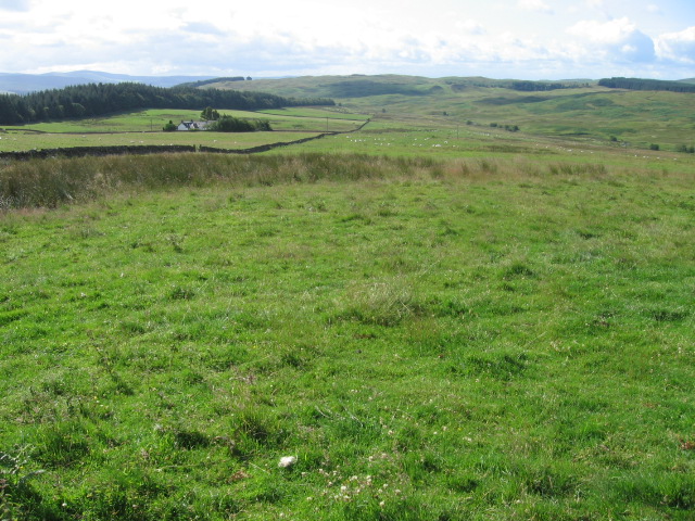
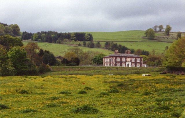
Duke's Wood is a picturesque forest located in the region of Dumfriesshire, Scotland. Situated on the southern edge of the Moffat Hills, this woodland holds great historical and ecological significance. Covering an area of approximately 300 acres, Duke's Wood is a diverse mix of broadleaf and coniferous trees, creating a rich and varied habitat for a wide range of flora and fauna.

The wood's name originates from its historical association with the Duke of Buccleuch, who once owned the land. It has since been managed by the Forestry Commission, ensuring its preservation and accessibility for visitors. The forest boasts several well-maintained walking trails, allowing visitors to explore its beauty while immersing themselves in nature.

Within Duke's Wood, one can find an abundance of wildlife. Birdwatchers can spot various species, including woodpeckers, owls, and songbirds, while nature enthusiasts may come across red squirrels, hares, and deer. The forest's diverse vegetation provides a haven for numerous plants and fungi, creating a vibrant and dynamic ecosystem.

Aside from its natural wonders, Duke's Wood also offers historical intrigue. The remnants of an Iron Age fort can be found within its boundaries, adding an archaeological element to the woodland's appeal. This ancient site serves as a reminder of the area's rich cultural heritage.

Overall, Duke's Wood in Dumfriesshire is a captivating destination for nature lovers, history enthusiasts, and those seeking tranquility. Its remarkable blend of natural beauty, diverse wildlife, and historical significance make it a cherished gem within Scotland's landscape.

If you have any feedback on the listing, please let us know in the comments section below.

Duke's Wood Images

Images are sourced within 2km of 55.32703/-3.4740613 or Grid Reference NT0604. Thanks to Geograph Open Source API. All images are credited.

Moffat Church St Andrew's Parish Church dominates the approach to Moffat from the south. <span class="nowrap"><a title="http://www.undiscoveredscotland.co.uk/moffat/standrews/index.html" rel="nofollow ugc noopener" href="http://www.undiscoveredscotland.co.uk/moffat/standrews/index.html">Link</a><img style="margin-left:2px;" alt="External link" title="External link - shift click to open in new window" src="https://s1.geograph.org.uk/img/external.png" width="10" height="10"/></span>
Moffat Church
St Andrew's Parish Church dominates the approach to Moffat from the south. LinkExternal link
The Moffat Ram This sculpture sits on top of the Colvin fountain.
The Moffat Ram
This sculpture sits on top of the Colvin fountain.
Moffat Tup The sculpture of a ram which does not appear to have ears, though I am informed by a sheep farmer that the ears of living sheep are concealed behind their horns.
Moffat Tup
The sculpture of a ram which does not appear to have ears, though I am informed by a sheep farmer that the ears of living sheep are concealed behind their horns.
Derelict Cottages at Evan Water. When originally built, this cottage at Longbedholme must have been an idyllic place to live - on the banks of Evan Water where it tumbles over the rocks.
Now, sandwiched between the B7076, the M74 motorway, and the railway lines it would be unbearable, with the incessant din of traffic thundering by 24 hours a day.
Derelict Cottages at Evan Water.
When originally built, this cottage at Longbedholme must have been an idyllic place to live - on the banks of Evan Water where it tumbles over the rocks. Now, sandwiched between the B7076, the M74 motorway, and the railway lines it would be unbearable, with the incessant din of traffic thundering by 24 hours a day.
Moffat North Arqiva tower This tower stands on a hill just North-West of the pretty town of Moffat.
This is a multi site share mobile phone tower. The views from this hill cover the Lowther Hills from Queensberry through to Green Lowther.
Moffat North Arqiva tower
This tower stands on a hill just North-West of the pretty town of Moffat. This is a multi site share mobile phone tower. The views from this hill cover the Lowther Hills from Queensberry through to Green Lowther.
Annandale farmland. View north from near Lochhouse Tower.
Annandale farmland.
View north from near Lochhouse Tower.
Pylons near Beattock Looking north. Hidden from sight, but very close, is Junction 15 of the M74 in a dip behind the hedge.  The M74 follows the line of the pylons.
Pylons near Beattock
Looking north. Hidden from sight, but very close, is Junction 15 of the M74 in a dip behind the hedge. The M74 follows the line of the pylons.
Station Park, Moffat. The park is on the south side of the town, by the old railway station and the River Annan. It is a local tourist attraction and helped to win "Scotland in Bloom" awards.
Station Park, Moffat.
The park is on the south side of the town, by the old railway station and the River Annan. It is a local tourist attraction and helped to win "Scotland in Bloom" awards.
Clock Tower,  Moffat This old building on the corner of High and Well Streets is the Old Jail and Courthouse, now a shop.
Clock Tower, Moffat
This old building on the corner of High and Well Streets is the Old Jail and Courthouse, now a shop.
River Annan Looking north, from the bridge on the A701.
River Annan
Looking north, from the bridge on the A701.
Moffat Cemetery
Moffat Cemetery
Auchen Castle Hotel
Auchen Castle Hotel
Auchen Castle Hotel Hotel grounds and loch
Auchen Castle Hotel
Hotel grounds and loch
The clubhouse at Moffat Golf Course Viewed from the edge of the 18th green.
The clubhouse at Moffat Golf Course
Viewed from the edge of the 18th green.
Garpol Water
Garpol Water
Towards Rosetta
Towards Rosetta
Longbedholm Hill
Longbedholm Hill
The outskirts of Moffat Approaching Moffat by the edge of the A701 from the north.
The outskirts of Moffat
Approaching Moffat by the edge of the A701 from the north.
Show me another place!

Duke's Wood is located at Grid Ref: NT0604 (Lat: 55.32703, Lng: -3.4740613)

Unitary Authority: Dumfries and Galloway

Police Authority: Dumfries and Galloway

What 3 Words

///warmers.classmate.deploying. Near Moffat, Dumfries & Galloway

Nearby Locations

Kennel Wood Duke's Wood

Related Wikis

Auchencastle railway station

Auchencastle railway station was a private station which served Auchencastle, near Beattock, in the Scottish county of Dumfries and Galloway. It was used...

Moffat railway station

Moffat railway station was a station and the terminus of a short branch line which served Moffat, in the Scottish county of Dumfries and Galloway. It was...
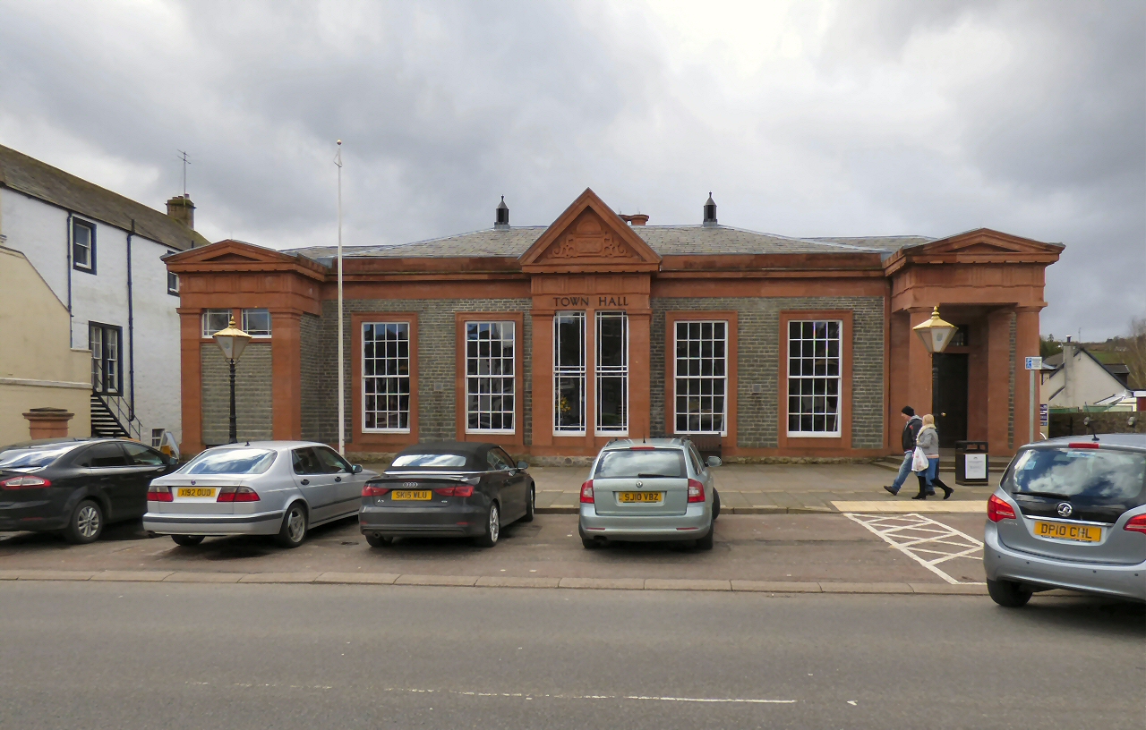
Moffat Town Hall

Moffat Town Hall is a municipal building in the High Street in Moffat, Dumfries and Galloway, Scotland. The structure, which is used as community events...

Moffat Museum

Moffat Museum is a community museum in Moffat, Scotland. It was established in the Old Moffat Bakehouse in 1984. The museum expanded into a neighbouring...

Moffat

Moffat (Scottish Gaelic: Mofad) is a burgh and parish in Dumfriesshire, now part of the Dumfries and Galloway local authority area in Scotland. It lies...

Beattock

Beattock is a village in Dumfries and Galloway, Scotland, approximately 1⁄2 mile (800 metres) southwest of Moffat and 19 miles (31 kilometres) north of...

Moffat Academy

Moffat Academy is a school in Moffat, Dumfries and Galloway, Scotland. It educates children from nursery to Secondary 6. == History == Moffat Academy traces...

Beattock railway station

Beattock railway station was a station which served the village of Beattock, in the parish of Kirkpatrick-Juxta in the Scottish county of Dumfries and...

Nearby Amenities

Located within 500m of 55.32703,-3.4740613
Design: barrel
Power: tower
Lat/Long: 55.3305791/-3.4747869
Design: barrel
Power: tower
Lat/Long: 55.3264892/-3.4700695
Design: barrel
Power: tower
Lat/Long: 55.3283927/-3.4722474
Source: Bing
Lat/Long: 55.3230079/-3.474981
Power: pole
Lat/Long: 55.3248275/-3.4805762
Power: pole
Lat/Long: 55.3237298/-3.479296
Power: pole
Lat/Long: 55.3242779/-3.4799219
Power: pole
Lat/Long: 55.3255573/-3.4807539
Power: pole
Lat/Long: 55.3262607/-3.4808931
Power: pole
Lat/Long: 55.3280075/-3.4812717
Power: pole
Lat/Long: 55.3229823/-3.4753213
Power: pole
Lat/Long: 55.3232593/-3.4736314
Power: pole
Lat/Long: 55.323422/-3.4726526
Power: pole
Lat/Long: 55.3236506/-3.4712538
Power: pole
Lat/Long: 55.3243878/-3.4722353
Power: pole
Lat/Long: 55.3242559/-3.4736675
Power: pole
Lat/Long: 55.3241944/-3.4743269
Power: pole
Lat/Long: 55.3241123/-3.4751693
Auchencastle
Historic Railway: station
Railway: site
Wikidata: Q4819387
Wikipedia: en:Auchencastle railway station
Lat/Long: 55.3252165/-3.4732021
The data included in this document is from www.openstreetmap.org. The data is made available under ODbL.

Have you been to Duke's Wood?

Leave your review of Duke's Wood below (or comments, questions and feedback).