The Belt
Wood, Forest in Dumfriesshire
Scotland
The Belt
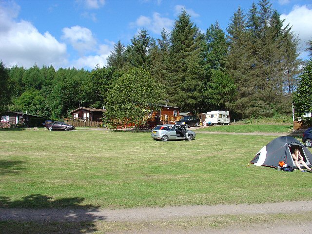
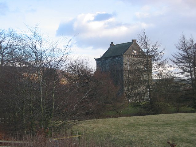
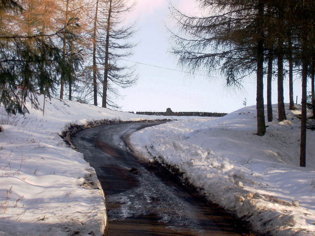
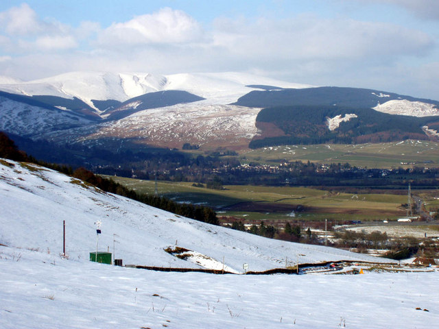
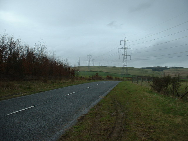
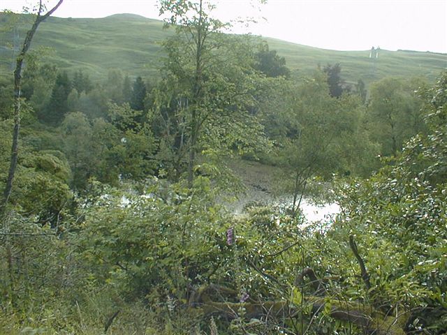
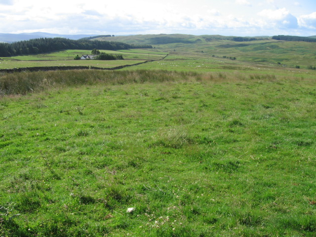
The Belt, located in Dumfriesshire, Scotland, is a stunning woodland area known for its picturesque beauty and rich biodiversity. Stretching across a vast expanse of land, The Belt is a prime example of a well-preserved forest, offering visitors a tranquil escape from the hustle and bustle of daily life.
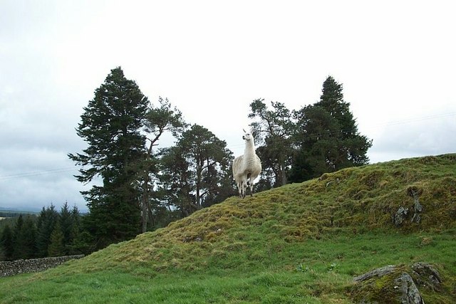
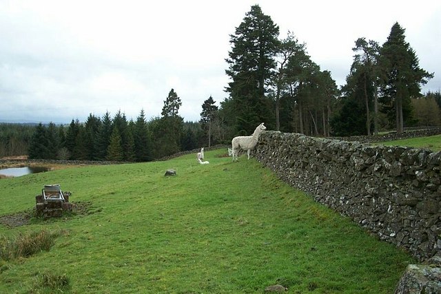
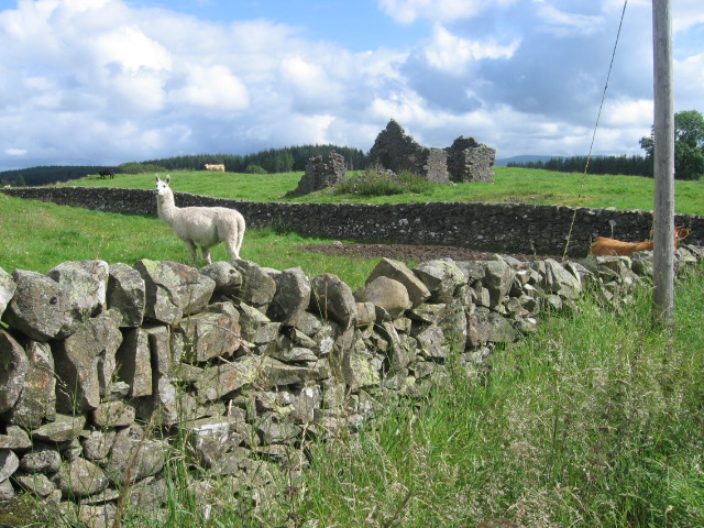
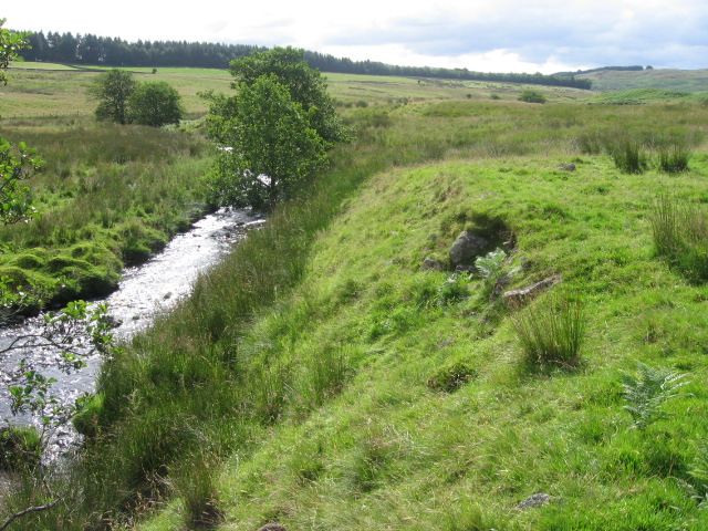
This woodland area is characterized by its dense canopy of trees, predominantly consisting of native species such as oak, beech, and birch. The lush undergrowth is adorned with a variety of wildflowers, creating a vibrant and colorful landscape during the warmer months. The Belt is also home to a diverse array of wildlife, including deer, badgers, foxes, and numerous bird species, making it a haven for nature enthusiasts and wildlife photographers.
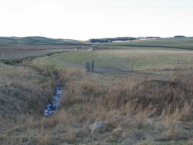
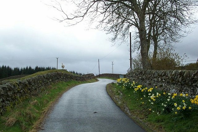
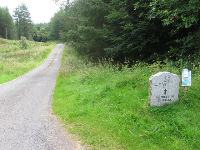
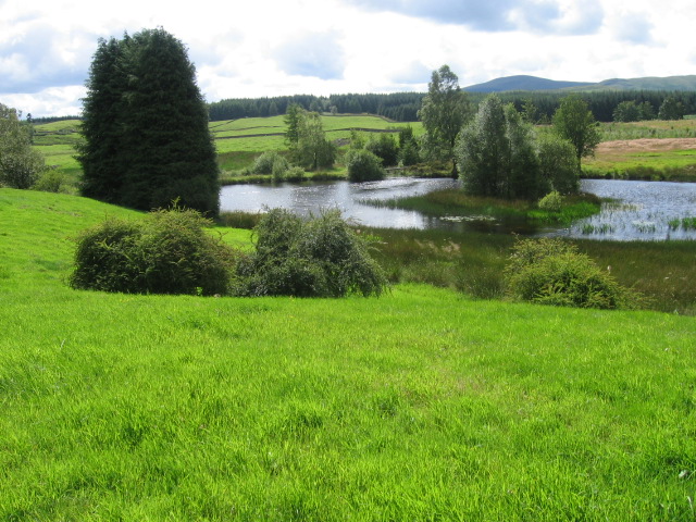
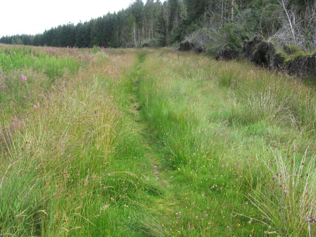
The forest is crisscrossed by a network of well-maintained trails, allowing visitors to explore its beauty on foot or by bike. These paths wind their way through ancient woodlands, alongside meandering streams, and past picturesque ponds. The Belt offers a serene and peaceful atmosphere, providing a perfect opportunity for visitors to reconnect with nature and enjoy a leisurely stroll or a picnic in the great outdoors.
Located in close proximity to several charming villages and towns, The Belt is a popular destination for both locals and tourists alike. Its accessibility, combined with its natural beauty, make it an ideal spot for outdoor activities such as hiking, birdwatching, and nature photography. Whether one seeks solitude or seeks an opportunity to appreciate the wonders of nature, The Belt in Dumfriesshire is a must-visit destination that promises to leave a lasting impression.
If you have any feedback on the listing, please let us know in the comments section below.
The Belt Images
Images are sourced within 2km of 55.314768/-3.4787905 or Grid Reference NT0603. Thanks to Geograph Open Source API. All images are credited.
The Belt is located at Grid Ref: NT0603 (Lat: 55.314768, Lng: -3.4787905)
Unitary Authority: Dumfries and Galloway
Police Authority: Dumfries and Galloway
What 3 Words
///jingles.relies.validated. Near Beattock, Dumfries & Galloway
Nearby Locations
Related Wikis

Auchencastle railway station
Auchencastle railway station was a private station which served Auchencastle, near Beattock, in the Scottish county of Dumfries and Galloway. It was used...
Beattock
Beattock is a village in Dumfries and Galloway, Scotland, approximately 1⁄2 mile (800 metres) southwest of Moffat and 19 miles (31 kilometres) north of...

Beattock railway station
Beattock railway station was a station which served the village of Beattock, in the parish of Kirkpatrick-Juxta in the Scottish county of Dumfries and...

Moffat railway station
Moffat railway station was a station and the terminus of a short branch line which served Moffat, in the Scottish county of Dumfries and Galloway. It was...
Have you been to The Belt?
Leave your review of The Belt below (or comments, questions and feedback).