Rashielea Wood

Wood, Forest in Perthshire

Scotland

Rashielea Wood

Westwood, a farm
Westwood, a farm Credit: Alan Reid

The requested URL returned error: 429 Too Many Requests

If you have any feedback on the listing, please let us know in the comments section below.

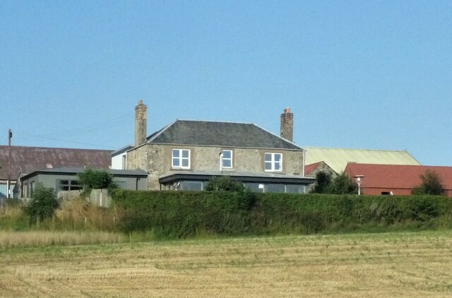
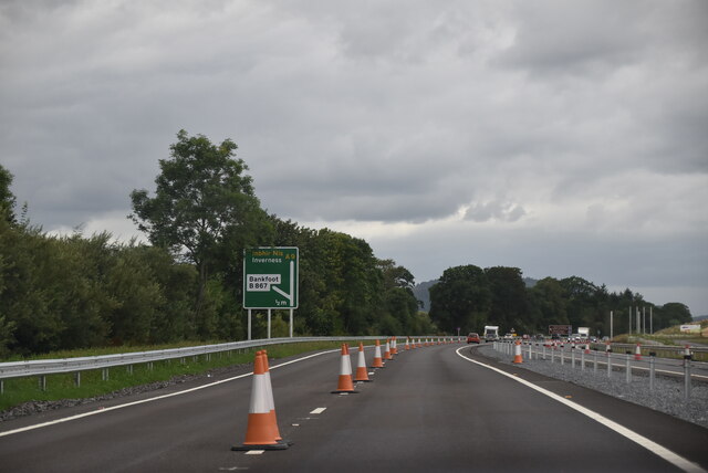
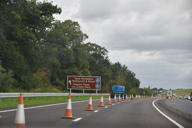
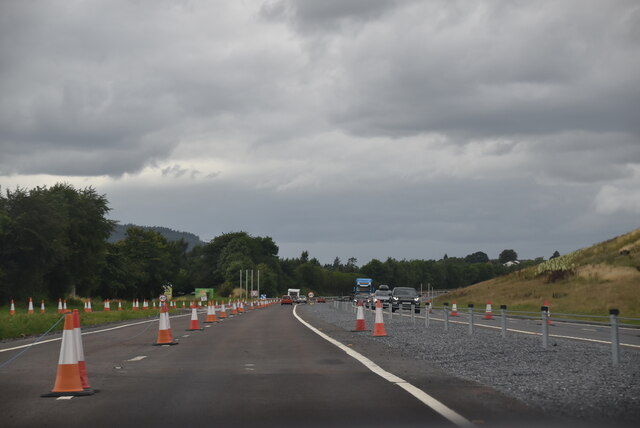
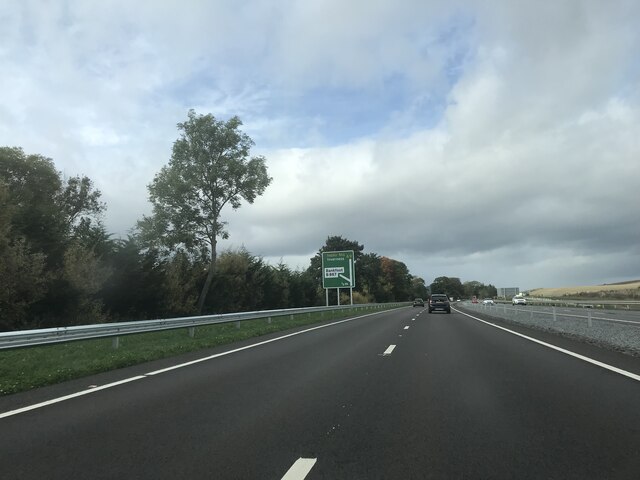
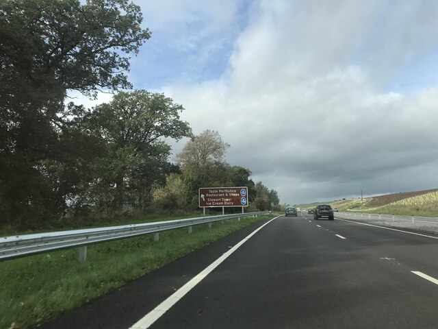
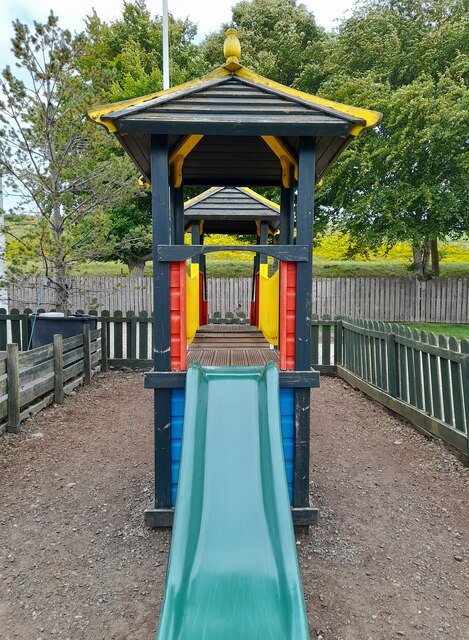
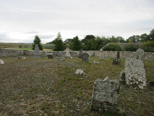
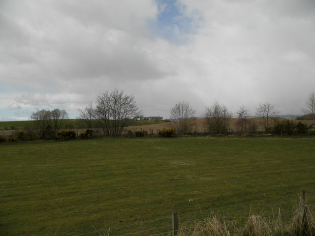
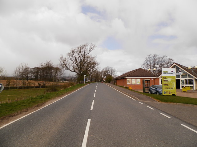
Rashielea Wood Images

Images are sourced within 2km of 56.481286/-3.5241987 or Grid Reference NO0633. Thanks to Geograph Open Source API. All images are credited.

Westwood, a farm
Westwood, a farm
A9 embankment at Bankfoot Tree planting for stabilisation of the new slopes.
A9 embankment at Bankfoot
Tree planting for stabilisation of the new slopes.
A9, northbound
A9, northbound
A9, northbound The A9 is a strategic link between the Highlands of Scotland and the Central Belt. It runs 279 miles from junction 5 of the M9 at Polmont to Scrabster. Originally it ran from Edinburgh.
<span class="nowrap"><a title="https://www.sabre-roads.org.uk/wiki/index.php?title=A9" rel="nofollow ugc noopener" href="https://www.sabre-roads.org.uk/wiki/index.php?title=A9">Link</a><img style="margin-left:2px;" alt="External link" title="External link - shift click to open in new window" src="https://s1.geograph.org.uk/img/external.png" width="10" height="10"/></span>
A9, northbound
The A9 is a strategic link between the Highlands of Scotland and the Central Belt. It runs 279 miles from junction 5 of the M9 at Polmont to Scrabster. Originally it ran from Edinburgh. LinkExternal link
Signage - A9 northbound
Play Equipment at Taste Perthshire Roadside visitor centre.
Play Equipment at Taste Perthshire
Roadside visitor centre.
Road to Bankfoot Minor road heading to Bankfoot from the south-west.
Road to Bankfoot
Minor road heading to Bankfoot from the south-west.
Over Blelock New builds at Over Blelock viewed over farmland from the south-east.
Over Blelock
New builds at Over Blelock viewed over farmland from the south-east.
Logiebride Cemetery The abandoned graveyard of Logiebride at Kirkstyle, south-west of Bankfoot.
Logiebride Cemetery
The abandoned graveyard of Logiebride at Kirkstyle, south-west of Bankfoot.
Minor road to Murthly, leaving Bankfoot The bridge ahead carries the A9 past the village.

Oh! how the Scottish Government must wish that the A9 had been dualled all the way from Perth to Inverness when it was first improved. The extensive two-lane stretches are usually long, sweeping bends with inadequate visibility to overtake when oncoming traffic is also doing at least 60mph (to say nothing of the fact that the road is now so busy that there are rarely any gaps). It is gradually being upgraded but this must be an expensive process - also painfully slow, a bit like driving along it often is.
Minor road to Murthly, leaving Bankfoot
The bridge ahead carries the A9 past the village. Oh! how the Scottish Government must wish that the A9 had been dualled all the way from Perth to Inverness when it was first improved. The extensive two-lane stretches are usually long, sweeping bends with inadequate visibility to overtake when oncoming traffic is also doing at least 60mph (to say nothing of the fact that the road is now so busy that there are rarely any gaps). It is gradually being upgraded but this must be an expensive process - also painfully slow, a bit like driving along it often is.
Field, Bankfoot Suffolks on the edge of Bankfoot.
Field, Bankfoot
Suffolks on the edge of Bankfoot.
Barley, Bankfoot A field in a road fork near Bankfoot.
Barley, Bankfoot
A field in a road fork near Bankfoot.
Farmland at Easter Nether Blelock, Bankfoot
The B867 at the visitor centre, Bankfoot This section of road was relegated to a B road and was originally part of the A9 until an upgrade took place in the 1970's and 1980's.
The B867 at the visitor centre, Bankfoot
This section of road was relegated to a B road and was originally part of the A9 until an upgrade took place in the 1970's and 1980's.
Perth and Kinross : The A9 Looking along the A9 road.
Perth and Kinross : The A9
Looking along the A9 road.
Show me another place!

Rashielea Wood is located at Grid Ref: NO0633 (Lat: 56.481286, Lng: -3.5241987)

Unitary Authority: Perth and Kinross

Police Authority: Tayside

What 3 Words

///reminder.walkway.mermaids. Near Bankfoot, Perth & Kinross

Nearby Locations

Rashielea Wood

Related Wikis

Bankfoot railway station

Bankfoot railway station served the village of Bankfoot, Perth and Kinross, Scotland, from 1906 to 1964 on the Bankfoot Light Railway. In 1911, the registered...

Bankfoot

Bankfoot is a village in Perth and Kinross, Scotland, approximately 8 miles (13 km) north of Perth and 7 miles (11 km) south of Dunkeld. Bankfoot had a...

Tullybelton

Tullybelton is a hamlet located in the Scottish county of Perth and Kinross about 8 miles (13 km) north-northeast of Perth. Ian Fraser, Baron Fraser of...

Moneydie

Moneydie {/ˌmʌnˈiːˌɗiː/} is a small hamlet and former parish in Perth and Kinross. It is about 6 miles (10 kilometres) northwest of Perth. == Parish... ==

Nearby Amenities

Located within 500m of 56.481286,-3.5241987
Power: pole
Lat/Long: 56.4771316/-3.5263589
Power: pole
Lat/Long: 56.4773129/-3.5250506
Power: pole
Lat/Long: 56.4774967/-3.5238494
Power: pole
Lat/Long: 56.4776793/-3.5225411
Power: pole
Lat/Long: 56.4778747/-3.5212049
Power: pole
Lat/Long: 56.4780624/-3.519864
Power: pole
Lat/Long: 56.4782398/-3.518721
The data included in this document is from www.openstreetmap.org. The data is made available under ODbL.

Have you been to Rashielea Wood?

Leave your review of Rashielea Wood below (or comments, questions and feedback).