Garpol Linn

Lake, Pool, Pond, Freshwater Marsh in Dumfriesshire

Scotland

Garpol Linn

Craigielands Country Park Camp Site The Country park spreads over this and the adjacent grid square to the south. At the N end of the park is a camp site for tourers.
Craigielands Country Park Camp Site Credit: Pete Chapman

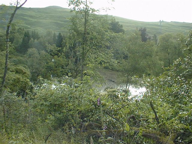
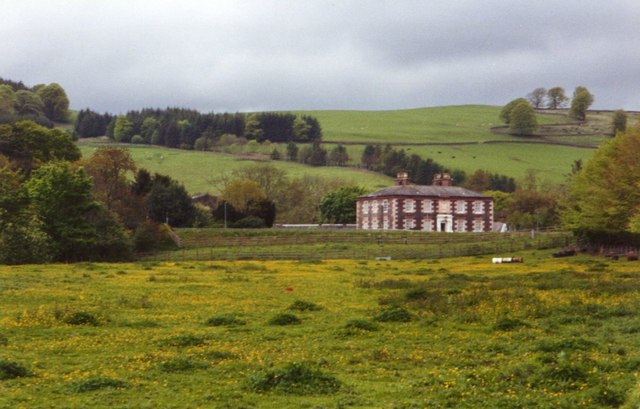
Garpol Linn, located in Dumfriesshire, Scotland, is a picturesque freshwater marsh encompassing a lake, pool, and pond. Spanning approximately 200 acres, it is nestled within the stunning Garpol Glen, offering visitors breathtaking views and a serene natural setting.

The main feature of Garpol Linn is its expansive lake, which stretches across a significant portion of the marsh. The lake is known for its crystal-clear waters, reflecting the surrounding lush greenery and creating a tranquil atmosphere. It provides a habitat for a diverse range of aquatic plants and animals, including various species of fish and birdlife.

Adjacent to the lake is a smaller pool, which offers a more secluded and intimate experience for nature enthusiasts. This tranquil spot is ideal for birdwatching or simply taking in the peaceful ambiance. The pool is teeming with water lilies and other aquatic vegetation, providing a haven for many species of insects and small creatures.

Further into the marsh, there is a charming pond, teaming with life. The pond is a thriving ecosystem, home to frogs, newts, and a variety of water-dwelling insects. The pond's clear waters attract an abundance of birdlife, making it a popular spot for birdwatchers.

Garpol Linn is a haven for nature lovers and a hotspot for wildlife enthusiasts. The marsh's diverse ecosystem, comprising the lake, pool, and pond, provides a habitat for a wide array of flora and fauna. Visitors can expect to be captivated by the natural beauty, tranquility, and abundant wildlife that call Garpol Linn home.

If you have any feedback on the listing, please let us know in the comments section below.

Garpol Linn Images

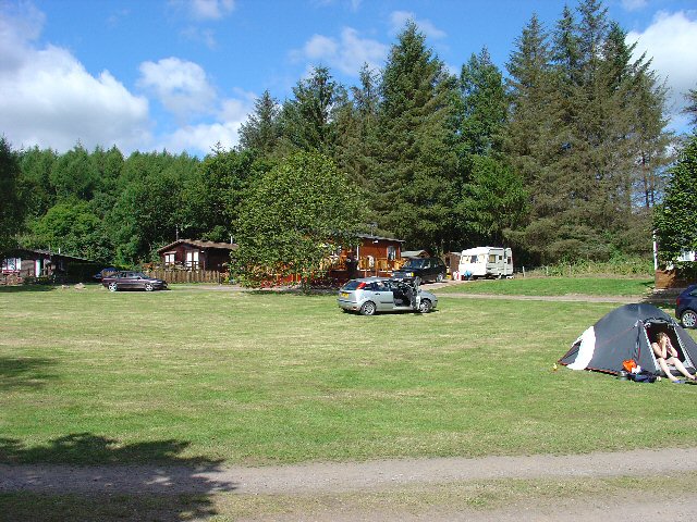
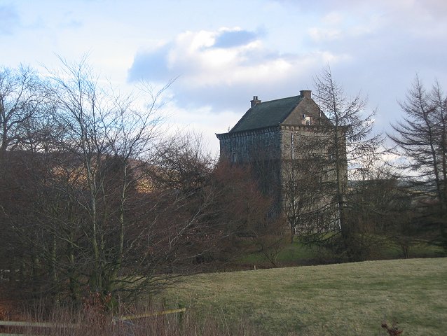
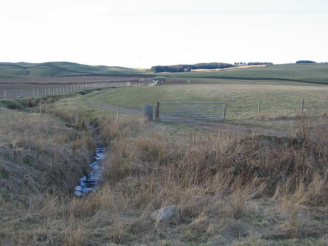
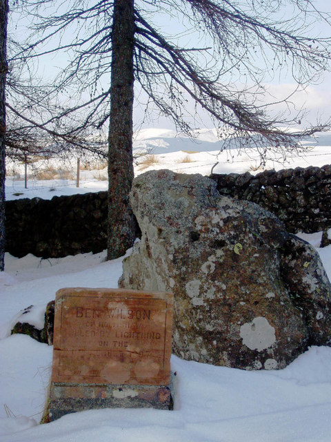
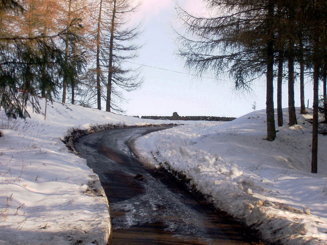
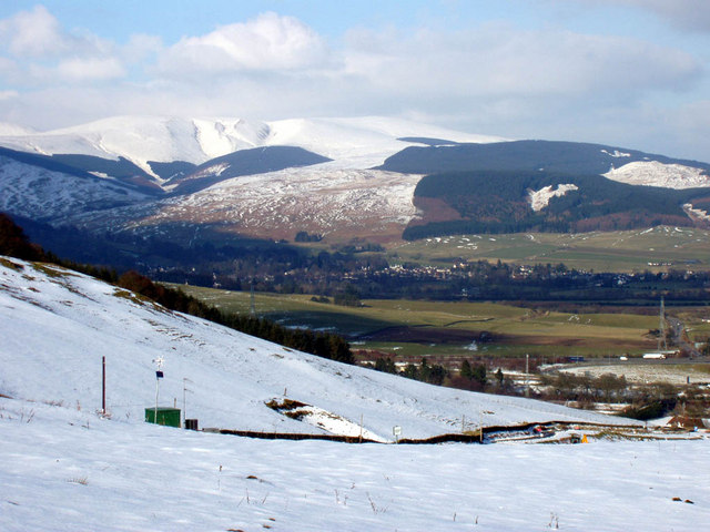
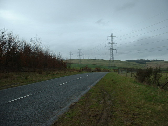
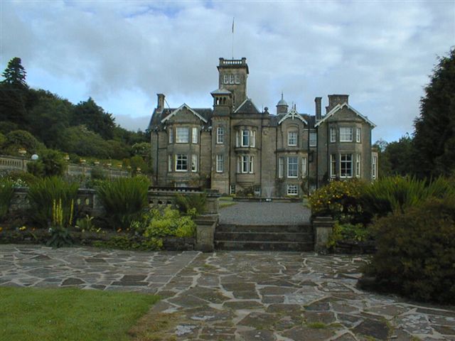
Images are sourced within 2km of 55.314274/-3.4713504 or Grid Reference NT0603. Thanks to Geograph Open Source API. All images are credited.

Craigielands Country Park Camp Site The Country park spreads over this and the adjacent grid square to the south. At the N end of the park is a camp site for tourers.
Craigielands Country Park Camp Site
The Country park spreads over this and the adjacent grid square to the south. At the N end of the park is a camp site for tourers.
Fishing Loch, Craigielands Country Park, Beattock Small loch available for fishing in the grounds of this former country estate.
Fishing Loch, Craigielands Country Park, Beattock
Small loch available for fishing in the grounds of this former country estate.
Looking Towards Barnhill Springs The infrastructure here has changed dramatically since the 1940's O/S map was produced. This is a shot from the A701 by Hollow Corse, looking roughly northeast across the M74 towards Barnhill Springs in the far distance, which is just in the opposite corner of the square.
Looking Towards Barnhill Springs
The infrastructure here has changed dramatically since the 1940's O/S map was produced. This is a shot from the A701 by Hollow Corse, looking roughly northeast across the M74 towards Barnhill Springs in the far distance, which is just in the opposite corner of the square.
Je Ne Comprend Pas This object is at the side of a cycleway formed from the northbound carriageway of the old A74 dual carriageway. There is a small sign at the bottom left that doesn't seem to explain this object but does have the inscription "Je ne comprend pas" and a few other scrawls.
Je Ne Comprend Pas
This object is at the side of a cycleway formed from the northbound carriageway of the old A74 dual carriageway. There is a small sign at the bottom left that doesn't seem to explain this object but does have the inscription "Je ne comprend pas" and a few other scrawls.
Lochhouse Tower 15th Century tower house handily placed in the midst of a reivers artery, Annandale.
Lochhouse Tower
15th Century tower house handily placed in the midst of a reivers artery, Annandale.
Annandale farmland. View north from near Lochhouse Tower.
Annandale farmland.
View north from near Lochhouse Tower.
Memorial to 'Ben Wilson' By the side of the road which forms part of the Southern Uplands Way. View beyond trees is North-East to Moffat Hills.
Memorial to 'Ben Wilson'
By the side of the road which forms part of the Southern Uplands Way. View beyond trees is North-East to Moffat Hills.
Road near Beattock These photos were taken while out for a run from Moffat a week after a heavy snowfall.
Road near Beattock
These photos were taken while out for a run from Moffat a week after a heavy snowfall.
Looking towards Moffat from Beattock Hill
Another view towards Moffat.
Pylons near Beattock Looking north. Hidden from sight, but very close, is Junction 15 of the M74 in a dip behind the hedge.  The M74 follows the line of the pylons.
Pylons near Beattock
Looking north. Hidden from sight, but very close, is Junction 15 of the M74 in a dip behind the hedge. The M74 follows the line of the pylons.
Auchen Castle Hotel
Auchen Castle Hotel
Auchen Castle Hotel Hotel grounds and loch
Auchen Castle Hotel
Hotel grounds and loch
Railway Embankment South of Beattock A Royal Mail train heading south on the main west coast line.
Railway Embankment South of Beattock
A Royal Mail train heading south on the main west coast line.
The clubhouse at Moffat Golf Course Viewed from the edge of the 18th green.
The clubhouse at Moffat Golf Course
Viewed from the edge of the 18th green.
Road to Beattock
Road to Beattock
Garpol Water
Garpol Water
Towards Rosetta
Towards Rosetta
Show me another place!

Garpol Linn is located at Grid Ref: NT0603 (Lat: 55.314274, Lng: -3.4713504)

Unitary Authority: Dumfries and Galloway

Police Authority: Dumfries and Galloway

What 3 Words

///baroness.beaker.latitudes. Near Beattock, Dumfries & Galloway

Related Wikis

Beattock

Beattock is a village in Dumfries and Galloway, Scotland, approximately 1⁄2 mile (800 metres) southwest of Moffat and 19 miles (31 kilometres) north of...

Auchencastle railway station

Auchencastle railway station was a private station which served Auchencastle, near Beattock, in the Scottish county of Dumfries and Galloway. It was used...

Beattock railway station

Beattock railway station was a station which served the village of Beattock, in the parish of Kirkpatrick-Juxta in the Scottish county of Dumfries and...

Moffat railway station

Moffat railway station was a station and the terminus of a short branch line which served Moffat, in the Scottish county of Dumfries and Galloway. It was...

Have you been to Garpol Linn?

Leave your review of Garpol Linn below (or comments, questions and feedback).