Boreland Plantation

Wood, Forest in Dumfriesshire

Scotland

Boreland Plantation

Annandale Way
Annandale Way Credit: thejackrustles

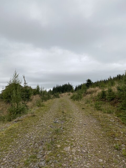
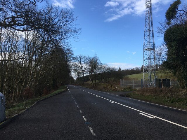
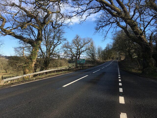
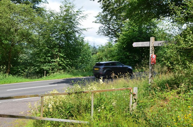
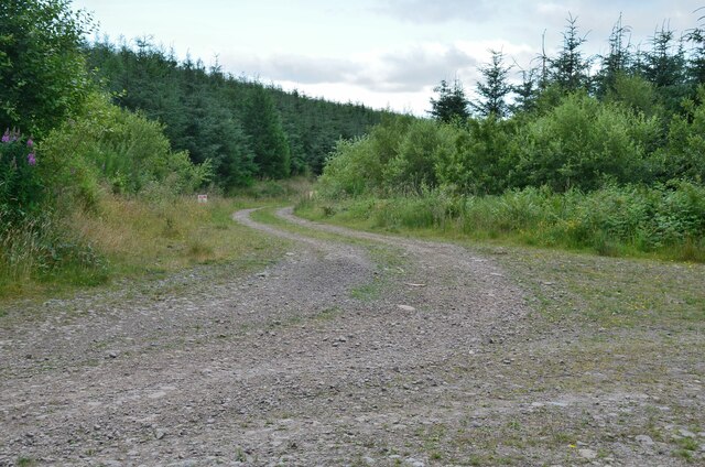
Boreland Plantation is a picturesque woodland located in Dumfriesshire, Scotland. Covering an area of approximately 100 acres, it is nestled amidst the beautiful countryside and rolling hills of the region. The plantation is known for its dense forest and diverse range of tree species, creating a haven for wildlife and a peaceful retreat for nature enthusiasts.

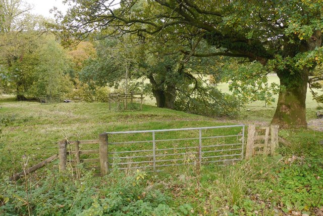
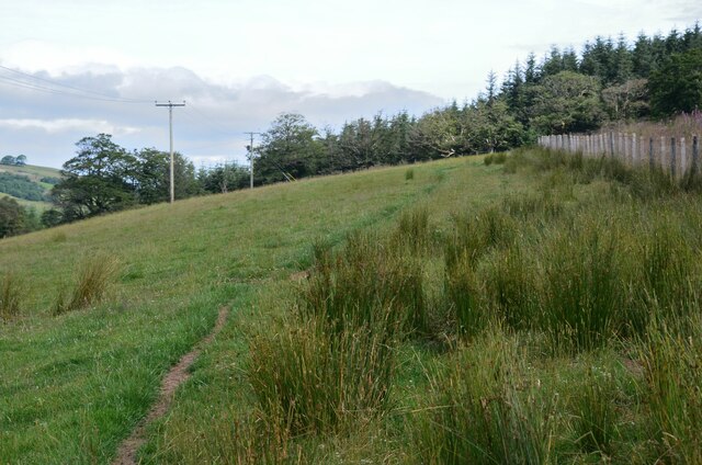
The woodland consists primarily of native Scottish trees, including oak, birch, and beech. These majestic trees form a dense canopy overhead, providing shelter for a variety of bird species such as woodpeckers, owls, and thrushes. The forest floor is carpeted with ferns, wildflowers, and mosses, adding to the enchanting atmosphere and providing a habitat for smaller animals such as squirrels and rabbits.

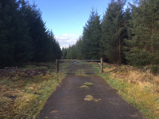
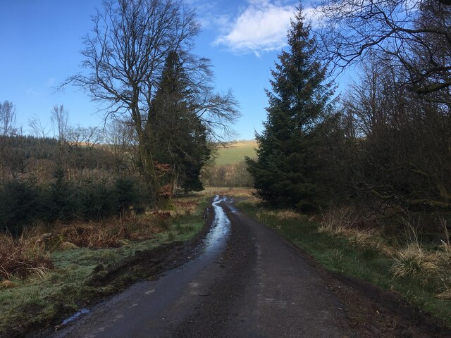
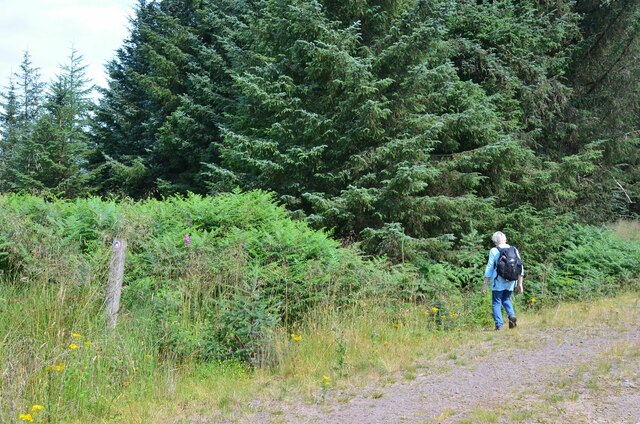
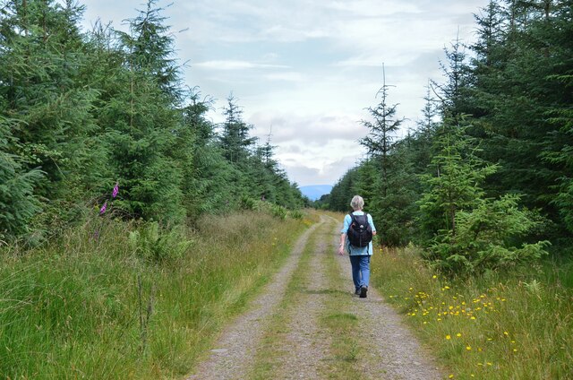
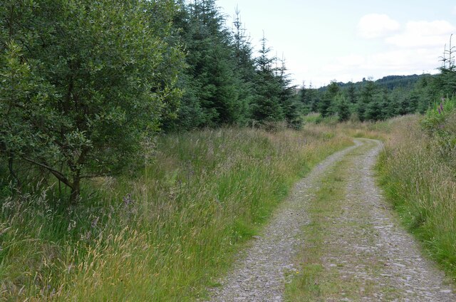
Boreland Plantation offers a network of well-maintained walking trails, allowing visitors to explore the woodland at their own pace. The paths wind through the trees, offering glimpses of tranquil ponds and open clearings along the way. The plantation also features picnic areas, providing a perfect spot to enjoy a packed lunch amidst the serenity of nature.

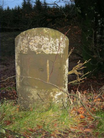
In addition to its natural beauty, Boreland Plantation boasts a rich history. It was once a part of the Boreland Estate, which dates back to the 17th century. The plantation has witnessed many changes over the years, but its charm and tranquility have remained constant, offering visitors a unique and authentic experience of Scotland's natural heritage.

If you have any feedback on the listing, please let us know in the comments section below.

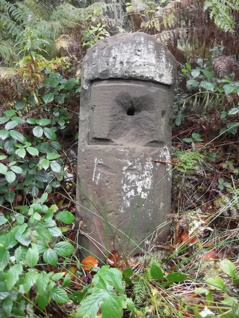
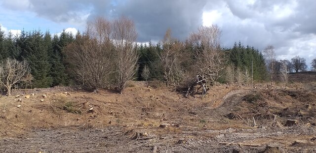
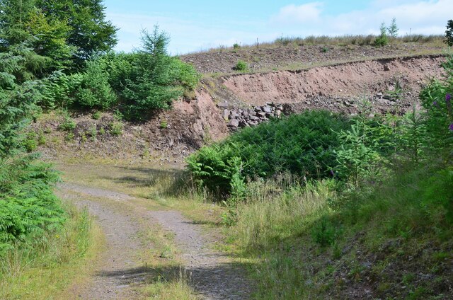
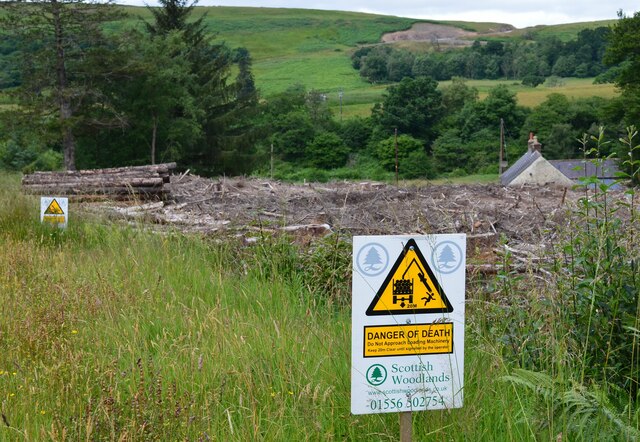
Boreland Plantation Images

Images are sourced within 2km of 55.24792/-3.4762127 or Grid Reference NY0695. Thanks to Geograph Open Source API. All images are credited.

Annandale Way
Annandale Way
A701 towards Dumfries
Forestry entrance near Edwardsrig Plantation
Minor road near Boreland Plantation
A701 towards Beattock
Parkland, Raehills There are a lot of mature oaks here. View from the A701.
Parkland, Raehills
There are a lot of mature oaks here. View from the A701.
Old Milestone by the A701, near Hennie's Hill, Johnstone parish Dumfries red sandstone by the A701, in parish of Johnstone (Annandale District), Hennie's Hill, on verge in woods, East side of track.

Surveyed

Milestone Society National ID: DG_DFMF14
Old Milestone by the A701, near Hennie's Hill, Johnstone parish
Dumfries red sandstone by the A701, in parish of Johnstone (Annandale District), Hennie's Hill, on verge in woods, East side of track. Surveyed Milestone Society National ID: DG_DFMF14
Old Milestone by the A701, Oldshields Wood, Johnstone parish Dumfries red sandstone by the A701, in parish of Johnstone (Annandale District), Oldshields Wood, South of lay-by and lane to Mosslands, on verge in front of trees, East side of road.

Inscription once read:-
(Edinburgh)
(57)
(Dumfries)
(15)

Surveyed

Milestone Society National ID: DG_DFMF15
Old Milestone by the A701, Oldshields Wood, Johnstone parish
Dumfries red sandstone by the A701, in parish of Johnstone (Annandale District), Oldshields Wood, South of lay-by and lane to Mosslands, on verge in front of trees, East side of road. Inscription once read:- (Edinburgh) (57) (Dumfries) (15) Surveyed Milestone Society National ID: DG_DFMF15
Old milestone On the A701 at Hennies Hill, another stone that has had its plate either removed in 1940 or stolen.  The legend was Edinburgh 58, Dumfries 14.

Moderator.  Please substitute this pic for the blue one already noted in this grid square.  it is the same stone.
Old milestone
On the A701 at Hennies Hill, another stone that has had its plate either removed in 1940 or stolen. The legend was Edinburgh 58, Dumfries 14. Moderator. Please substitute this pic for the blue one already noted in this grid square. it is the same stone.
Clear felling near Mosslands An area of recent clear felling near Mosslands.
Clear felling near Mosslands
An area of recent clear felling near Mosslands.
Small quarry, Kinnelhall Burn On the track descending the west side of Kinnel Knock.
Small quarry, Kinnelhall Burn
On the track descending the west side of Kinnel Knock.
Annandale Way short cut The Way is waymarked left to cut off a hairpin on the track descending to the A701.
Annandale Way short cut
The Way is waymarked left to cut off a hairpin on the track descending to the A701.
Annandale Way crossing the A701 A hazardous 10m across the tarmac of this busy road with fast traffic, then a much more tranquil episode en route to Moffat, where the Way passes under the road and the adjacent A74(M) in safety.
Annandale Way crossing the A701
A hazardous 10m across the tarmac of this busy road with fast traffic, then a much more tranquil episode en route to Moffat, where the Way passes under the road and the adjacent A74(M) in safety.
Annandale Way, Kinnelholm Rig Path through estate land on the west side of the A701.
Annandale Way, Kinnelholm Rig
Path through estate land on the west side of the A701.
Annandale Way, Edwardsrig Plantation A track between the Kinnel Water and the A701.
Annandale Way, Edwardsrig Plantation
A track between the Kinnel Water and the A701.
Annandale Way, Edwardsrig Plantation A forest track in the NW corner of the square.
Annandale Way, Edwardsrig Plantation
A forest track in the NW corner of the square.
Forest track junction, Edwardsrig Plantation The left-hand track was closed due to forestry work.
Forest track junction, Edwardsrig Plantation
The left-hand track was closed due to forestry work.
Warning sign and clear-felled plantation, Park Bridge A warning to keep 20m clear of loading machinery and a clear-felled plantation near Park Bridge over the Kinnel Water.
Warning sign and clear-felled plantation, Park Bridge
A warning to keep 20m clear of loading machinery and a clear-felled plantation near Park Bridge over the Kinnel Water.
Show me another place!

Boreland Plantation is located at Grid Ref: NY0695 (Lat: 55.24792, Lng: -3.4762127)

Unitary Authority: Dumfries and Galloway

Police Authority: Dumfries and Galloway

What 3 Words

///unpainted.reverses.hometown. Near Johnstonebridge, Dumfries & Galloway

Related Wikis

Lochwood Tower

Lochwood Tower, also known as Lochwood Castle, is a ruined 16th-century L-plan tower house situated in Annandale (Valley of the River Annan) about 6 miles...

Wamphray railway station

Wamphray railway station served Newton Wamphray, near Beattock, in the Scottish county of Dumfries and Galloway. It was served by local trains on what...

Newton Wamphray

Newton Wamphray is a village in Dumfries and Galloway. Wamphray is the name of the surrounding parish and of the Wamphray Water, which flows south-west...

Annandale Water services

Annandale Water services is a motorway service station in the village of Johnstonebridge, Scotland. The service station is located next to the A74(M) motorway...

Nearby Amenities

Located within 500m of 55.24792,-3.4762127
Power: pole
Lat/Long: 55.2468827/-3.4692639
Power: pole
Lat/Long: 55.2468254/-3.4707142
Power: pole
Lat/Long: 55.2467755/-3.4718064
Power: pole
Lat/Long: 55.2461837/-3.4722881
Power: pole
Lat/Long: 55.245448/-3.4728754
Power: pole
Lat/Long: 55.2448944/-3.473321
Power: pole
Lat/Long: 55.2450045/-3.4749645
Power: pole
Lat/Long: 55.2451073/-3.4765873
Power: pole
Lat/Long: 55.2458915/-3.4776151
Power: pole
Lat/Long: 55.2466139/-3.4785708
Power: pole
Lat/Long: 55.2472835/-3.4793488
Power: pole
Lat/Long: 55.2479472/-3.4801499
Power: pole
Lat/Long: 55.2485111/-3.4808093
Power: pole
Lat/Long: 55.2492746/-3.4817032
Power: pole
Lat/Long: 55.2499853/-3.4825326
The data included in this document is from www.openstreetmap.org. The data is made available under ODbL.

Have you been to Boreland Plantation?

Leave your review of Boreland Plantation below (or comments, questions and feedback).