Dam Strip
Wood, Forest in Lanarkshire
Scotland
Dam Strip

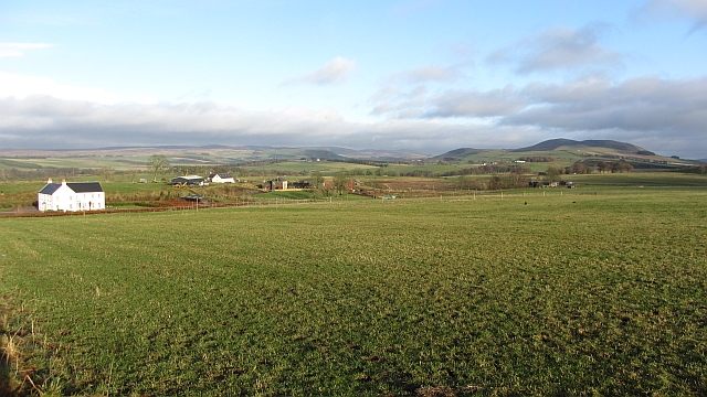
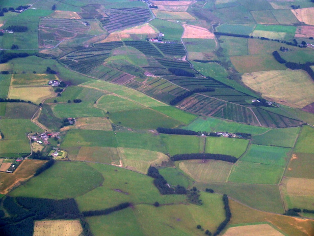
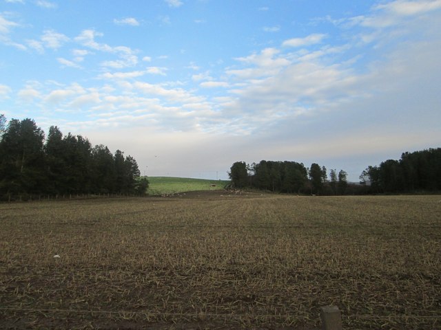
Dam Strip is a picturesque wooded area located in Lanarkshire, Scotland. Known for its dense forest cover and serene surroundings, it is a popular destination for nature enthusiasts and hikers alike.
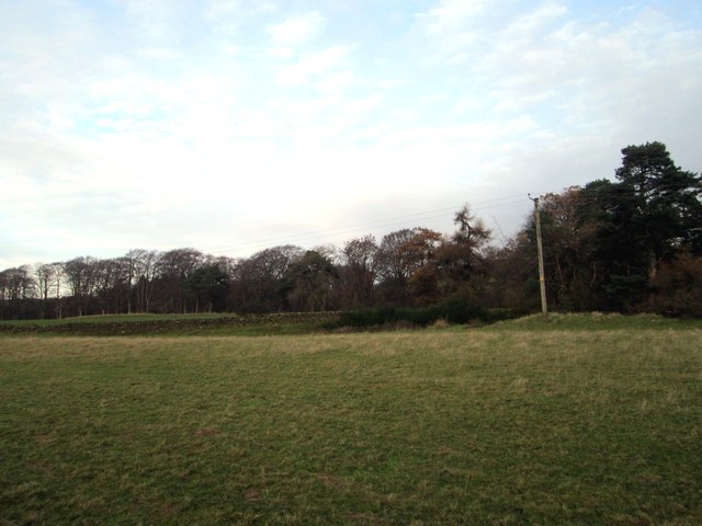
Covering an area of approximately 100 acres, Dam Strip is characterized by its diverse range of tree species, including oak, beech, and pine. The lush green foliage provides a habitat for numerous wildlife species, making it a haven for birdwatchers and animal lovers. Visitors can spot various bird species, such as woodpeckers, owls, and buzzards, as well as small mammals like squirrels and rabbits.
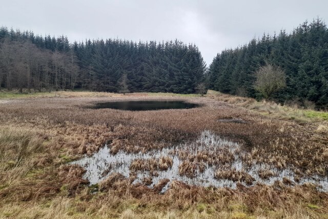
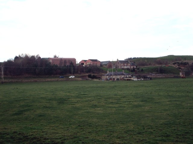
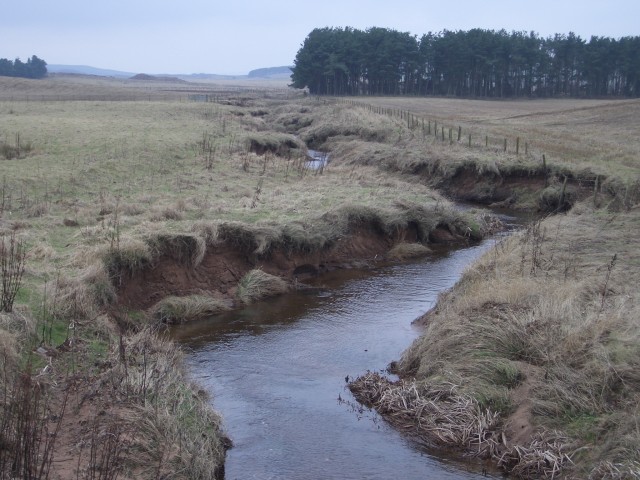
The main highlight of Dam Strip is a beautiful dam that was originally constructed in the early 1900s to provide water supply to the nearby villages. The dam is surrounded by a tranquil pond, which adds to the overall charm of the area. Visitors can enjoy leisurely walks along the dam, taking in the stunning views of the surrounding forest and the calm waters.
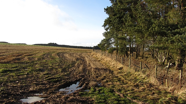
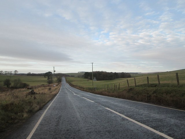
The forest trails at Dam Strip offer a range of walking options, catering to all levels of fitness and interest. Whether it's a short stroll or a longer hike, there is something for everyone. The well-marked paths guide visitors through the enchanting woodland, providing an opportunity to explore the natural beauty of the area.
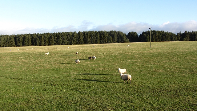
The Dam Strip also offers picnic areas and benches, allowing visitors to relax and unwind amidst the scenic surroundings. It is an ideal spot for families to enjoy a day out, with ample space for children to play and explore.
Overall, Dam Strip in Lanarkshire is a hidden gem for nature lovers, offering a peaceful retreat from the hustle and bustle of daily life. Its lush forests, diverse wildlife, and serene atmosphere make it a must-visit destination for anyone seeking a connection with nature.
If you have any feedback on the listing, please let us know in the comments section below.
Dam Strip Images
Images are sourced within 2km of 55.674383/-3.5549846 or Grid Reference NT0243. Thanks to Geograph Open Source API. All images are credited.


Dam Strip is located at Grid Ref: NT0243 (Lat: 55.674383, Lng: -3.5549846)
Unitary Authority: South Lanarkshire
Police Authority: Lanarkshire
What 3 Words
///flags.feasted.decimal. Near Carnwath, South Lanarkshire
Nearby Locations
Related Wikis

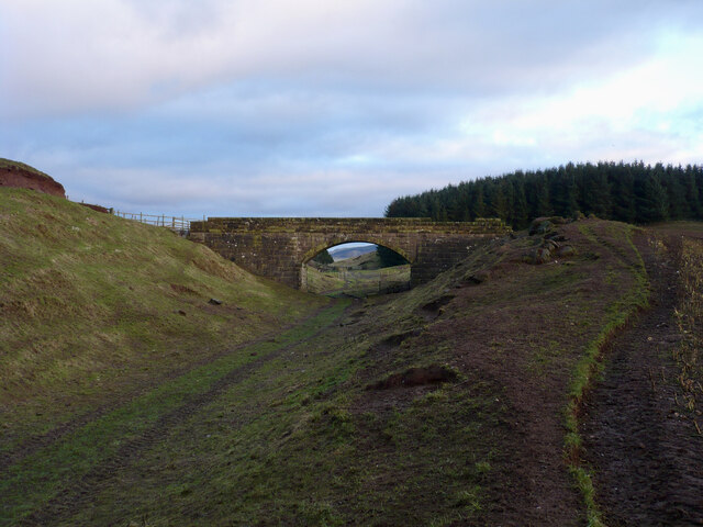
Newbigging railway station
Newbigging railway station served the hamlet of Newbigging, South Lanarkshire, Scotland from 1867 to 1945 on the Dolphinton branch. == History == The station...

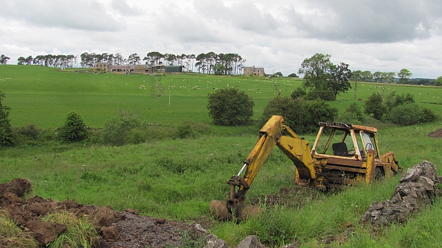
Newbigging, South Lanarkshire
Newbigging (Scots: Neebicken) is a hamlet in South Lanarkshire, Scotland. It is near Dunsyre at the southern end of the Pentland Hills. It is on the A72...
South Medwin River
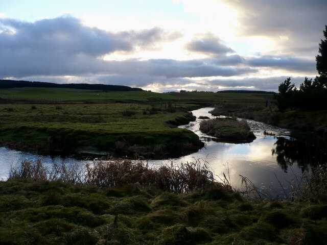
South Medwin, sometimes spelled Medwyn, is a river in the Lanarkshire region of Scotland. Along with the confluence of the North Medwin River it forms...

Libberton
Libberton is a village and historical parish in South Lanarkshire. The village is approximately 2 miles (3.2 km) north of Quothquan and 2.3 miles (3.68...
Nearby Amenities
Located within 500m of 55.674383,-3.5549846Have you been to Dam Strip?
Leave your review of Dam Strip below (or comments, questions and feedback).