Altyre Woods

Wood, Forest in Morayshire

Scotland

Altyre Woods

Entrance to Walled Garden The archway is one of the ways into the walled garden beside the site of the original Altyre House. It has the look of a fragment of a church, but I have yet to find any information about its history. The other side of the arch has nailhead decorative carving, suggesting that this side may perhaps be the original inside of whatever the building was to which the arch was the doorway, and the sharp difference between the rubble construction and the adjacent masonry suggests that it was an older structure incorporated into the garden wall.
Entrance to Walled Garden Credit: Anne Burgess

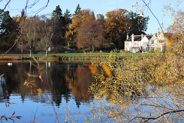
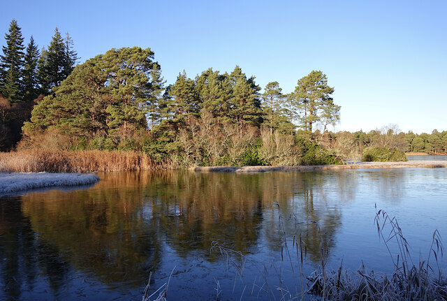
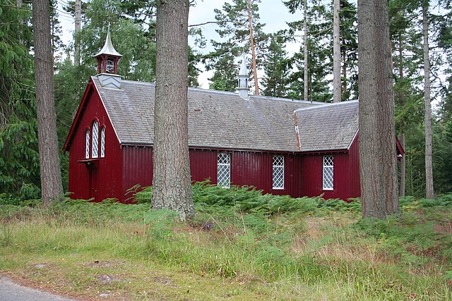
Altyre Woods is a picturesque woodland located in Morayshire, Scotland. Covering an area of approximately 200 hectares, it is a stunning example of a native Caledonian forest. The woods are situated near the River Findhorn, providing a tranquil and serene atmosphere for visitors.

The forest is predominantly composed of ancient Scots pine trees, some of which are over 200 years old. These towering giants create a dense canopy, casting a cool shade over the forest floor and creating a sense of enchantment. The woodland is also home to a variety of other tree species, including birch, oak, and rowan, adding to its rich diversity.

Altyre Woods is teeming with wildlife, making it a haven for nature enthusiasts. The forest provides a habitat for numerous bird species, such as the Scottish crossbill and the black grouse. Visitors may also spot red squirrels darting through the trees or glimpse roe deer grazing in clearings.

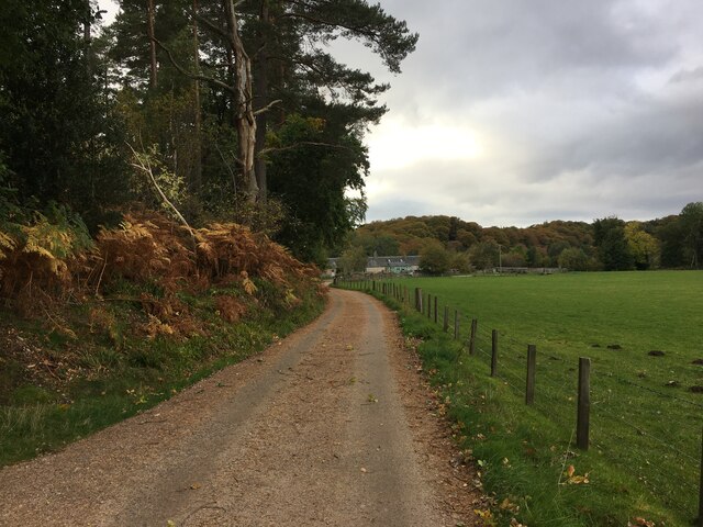
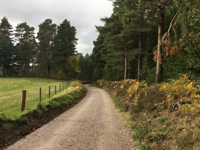
The woods offer a network of well-maintained trails, allowing visitors to explore the stunning scenery at their own pace. These paths wind through the forest, offering glimpses of wildflowers, moss-covered rocks, and babbling streams along the way. Interpretive signs provide information about the flora and fauna, enhancing the educational value of the visit.

Altyre Woods is a true gem in Morayshire, attracting both locals and tourists with its natural beauty. With its ancient trees, diverse wildlife, and peaceful ambiance, it offers a unique and memorable experience for all who venture into its leafy embrace.

If you have any feedback on the listing, please let us know in the comments section below.

Altyre Woods Images

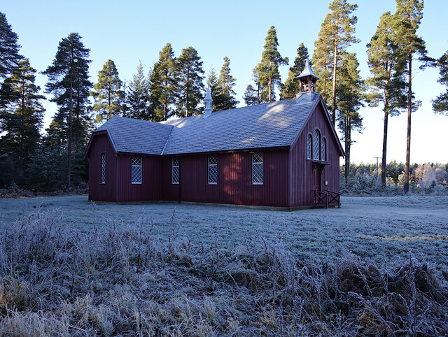
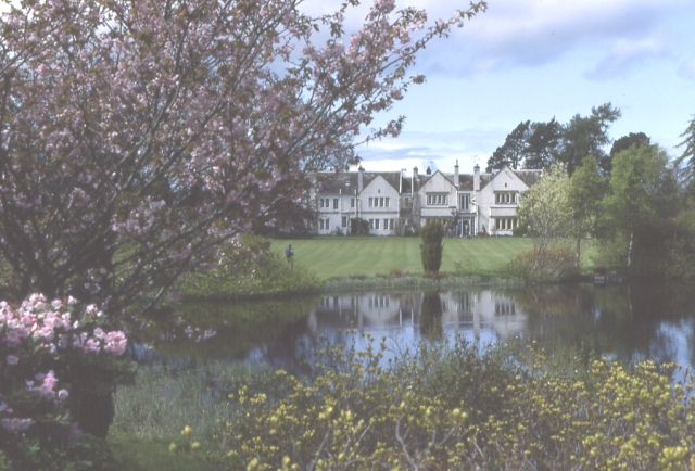
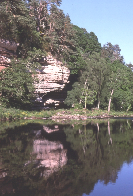
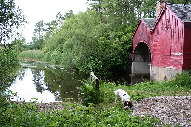
Images are sourced within 2km of 57.560775/-3.6345455 or Grid Reference NJ0253. Thanks to Geograph Open Source API. All images are credited.

Entrance to Walled Garden The archway is one of the ways into the walled garden beside the site of the original Altyre House. It has the look of a fragment of a church, but I have yet to find any information about its history. The other side of the arch has nailhead decorative carving, suggesting that this side may perhaps be the original inside of whatever the building was to which the arch was the doorway, and the sharp difference between the rubble construction and the adjacent masonry suggests that it was an older structure incorporated into the garden wall.
Entrance to Walled Garden
The archway is one of the ways into the walled garden beside the site of the original Altyre House. It has the look of a fragment of a church, but I have yet to find any information about its history. The other side of the arch has nailhead decorative carving, suggesting that this side may perhaps be the original inside of whatever the building was to which the arch was the doorway, and the sharp difference between the rubble construction and the adjacent masonry suggests that it was an older structure incorporated into the garden wall.
Rough Masonry I have no idea why the archway into the walled garden is flanked by such roughstonework.
Rough Masonry
I have no idea why the archway into the walled garden is flanked by such roughstonework.
Entrance to Walled Garden This is the other side of <a href="https://www.geograph.org.uk/photo/7020269">NJ0354 : Entrance to Walled Garden</a>, showing the decorative nailhead carving round the doorway, as well as another pointed arch that has been walled up on the other side.
Entrance to Walled Garden
This is the other side of NJ0354 : Entrance to Walled Garden, showing the decorative nailhead carving round the doorway, as well as another pointed arch that has been walled up on the other side.
A Grumpy Face? We thought this part of the bole of a large lime tree looked like a profile.
A Grumpy Face?
We thought this part of the bole of a large lime tree looked like a profile.
Autumn Beech Leaves A fine display of colour on a mature beech.
Autumn Beech Leaves
A fine display of colour on a mature beech.
Altyre House and Lake From the bank beside the road. There are few gaps in the vegetation, making it difficult to photograph well.
Altyre House and Lake
From the bank beside the road. There are few gaps in the vegetation, making it difficult to photograph well.
Road to Mains of Sluie
Road to Mains of Sluie This gravel road appears to have been recently regraded.
Road to Mains of Sluie
This gravel road appears to have been recently regraded.
Loch of Blairs A mixture of trees along the shore, on a frosty afternoon.
Loch of Blairs
A mixture of trees along the shore, on a frosty afternoon.
Altyre Chapel A timber church, built circa 1900. It is part of the Scottish Episcopal Church, linked with St John's Church in Forres.

It is a Category C listed building. <span class="nowrap"><a title="https://portal.historicenvironment.scot/designation/LB15598" rel="nofollow ugc noopener" href="https://portal.historicenvironment.scot/designation/LB15598">Link</a><img style="margin-left:2px;" alt="External link" title="External link - shift click to open in new window" src="https://s1.geograph.org.uk/img/external.png" width="10" height="10"/></span>
Altyre Chapel
A timber church, built circa 1900. It is part of the Scottish Episcopal Church, linked with St John's Church in Forres. It is a Category C listed building. LinkExternal link
Old Stable Tower, Altyre The remains of the old stables, demolished circa 1902. It is a Category C listed building. <span class="nowrap"><a title="https://portal.historicenvironment.scot/designation/LB15605" rel="nofollow ugc noopener" href="https://portal.historicenvironment.scot/designation/LB15605">Link</a><img style="margin-left:2px;" alt="External link" title="External link - shift click to open in new window" src="https://s1.geograph.org.uk/img/external.png" width="10" height="10"/></span>
Old Stable Tower, Altyre
The remains of the old stables, demolished circa 1902. It is a Category C listed building. LinkExternal link
Old curling rink, Altyre A small wooden hut next to the old rink, getting a bit overgrown.
Old curling rink, Altyre
A small wooden hut next to the old rink, getting a bit overgrown.
Sluie Pool River Findhorn
Sluie Pool
River Findhorn
Woodland near Sluie Lodge
Altyre House The seat of the Gordon-Cumming family. The gardens are open to the public from time to time.
Altyre House
The seat of the Gordon-Cumming family. The gardens are open to the public from time to time.
River Findhorn A low sandstone cliff overhangs a quiet reach of  the River Findhorn.
River Findhorn
A low sandstone cliff overhangs a quiet reach of the River Findhorn.
The boathouse at Loch of Blairs. A very popular and well run trout fishery containing both Brown and Rainbow trout.
The boathouse at Loch of Blairs.
A very popular and well run trout fishery containing both Brown and Rainbow trout.
The striking Altyre Church. A very attractive wooden church on Altyre Estate.
The striking Altyre Church.
A very attractive wooden church on Altyre Estate.
Show me another place!

Altyre Woods is located at Grid Ref: NJ0253 (Lat: 57.560775, Lng: -3.6345455)

Unitary Authority: Moray

Police Authority: North East

What 3 Words

///represent.corrode.waddle. Near Forres, Moray

Related Wikis

Darnaway Castle

Darnaway Castle, also known as Tarnaway Castle, is located in Darnaway Forest, 3 miles (5 km) southwest of Forres in Moray, Scotland. This was Comyn land...

Dallas Dhu distillery

Dallas Dhu distillery was a producer of single malt Scotch whisky that operated between 1899 and 1983 in Forres, Moray, Scotland. Dallas Dhu means "Black...

Rafford railway station

Rafford railway station at Rafford was opened with the Inverness and Perth Junction Railway in 1863. A full layout was provided (with a goods yard). The...

RAF Forres

Royal Air Force Forres or more simply RAF Forres is a former Royal Air Force satellite station located near Forres, Moray, Scotland. The station was controlled...

Have you been to Altyre Woods?

Leave your review of Altyre Woods below (or comments, questions and feedback).