Roadside Strips
Wood, Forest in Lanarkshire
Scotland
Roadside Strips
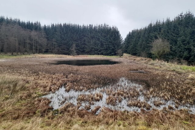
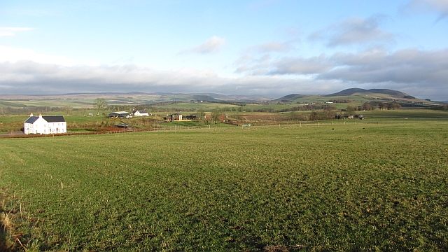
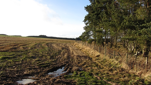
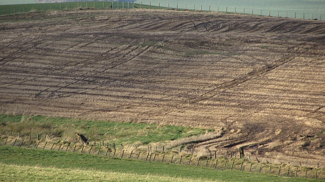
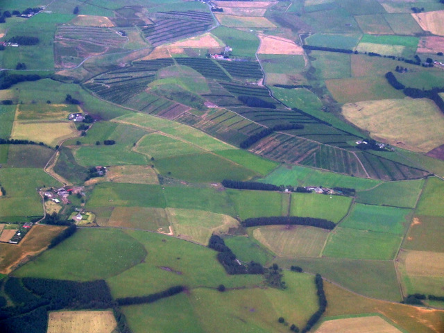
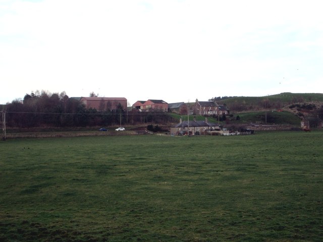
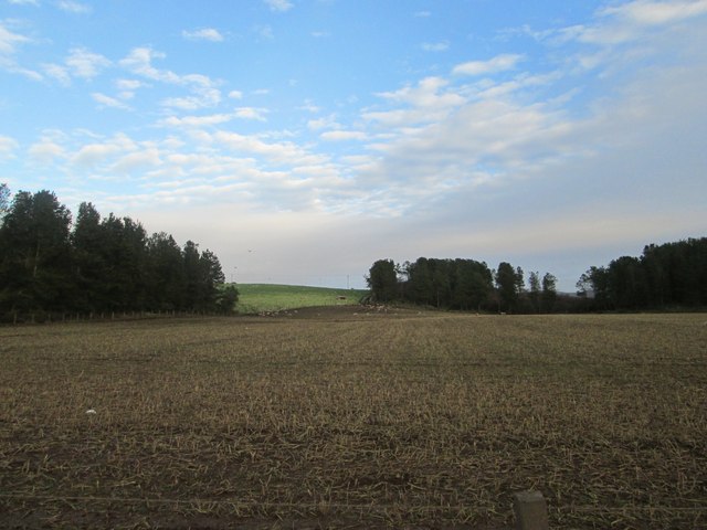
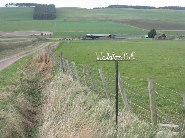
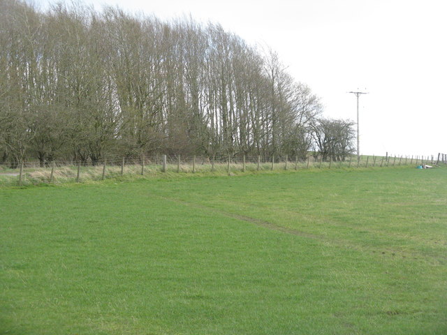
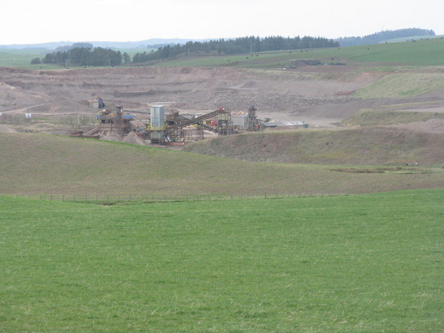
Roadside Strips, located in Lanarkshire, Scotland, is a picturesque woodland area known for its natural beauty and tranquil atmosphere. The forest, spread across a vast expanse of land, offers visitors a serene escape from the hustle and bustle of city life.
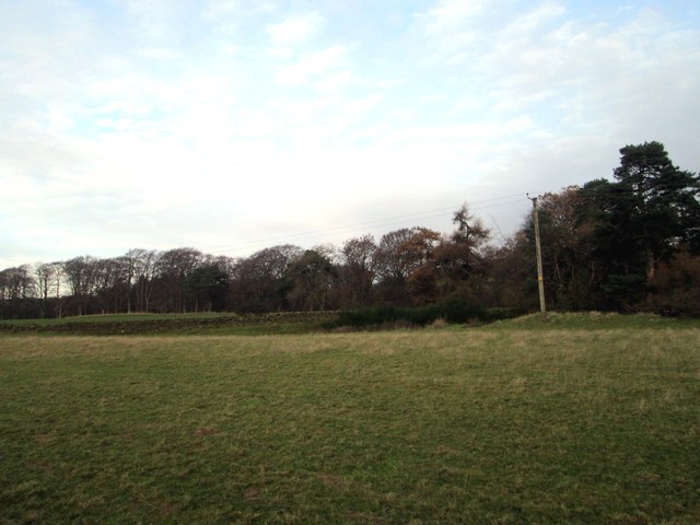
The woodland is primarily composed of various species of trees, including oak, birch, and pine, creating a diverse and lush environment. These towering trees provide ample shade, making it an ideal spot for picnics or leisurely walks on hot summer days.
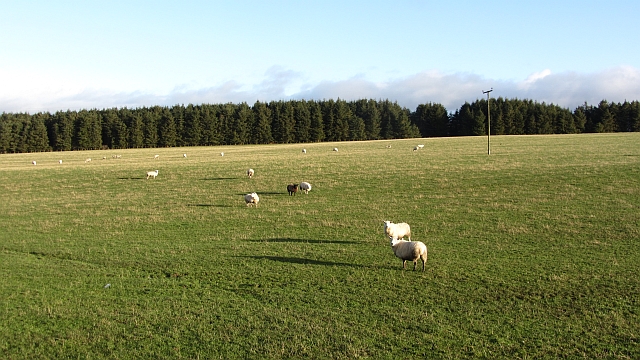
Roadside Strips is home to a wide array of wildlife, including deer, rabbits, and numerous bird species. Birdwatchers can delight in spotting birds such as woodpeckers, robins, and owls, making it a popular destination for nature enthusiasts.
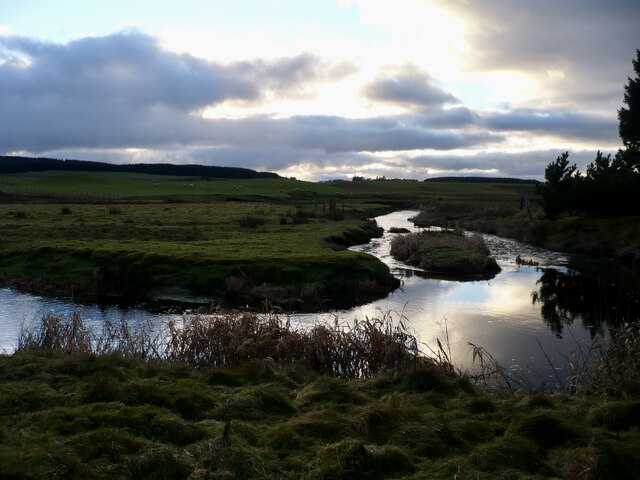
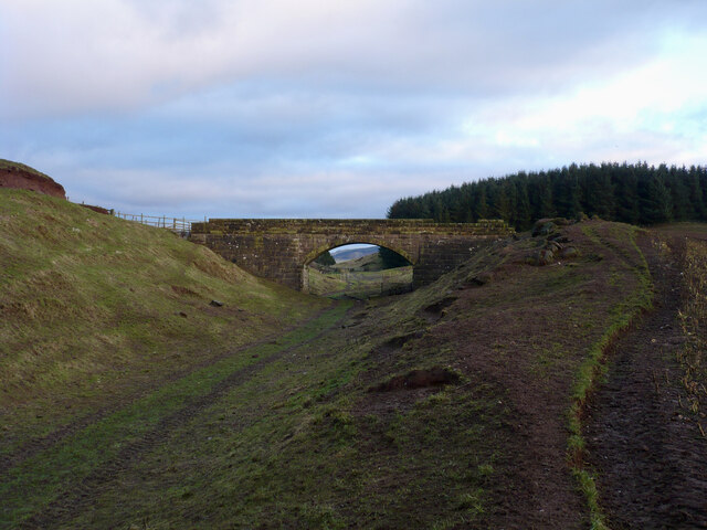
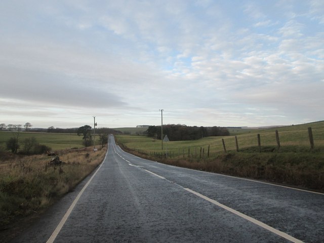
The forest offers a network of well-maintained trails, allowing visitors to explore the area at their own pace. These trails wind through the woodland, offering breathtaking views of the surrounding landscape. Along the paths, visitors may also encounter babbling brooks and small ponds, adding to the overall charm of the woodland.
Roadside Strips is a haven for outdoor activities such as hiking, cycling, and nature photography. The peaceful ambiance and stunning natural setting make it a favorite spot for locals and tourists alike. It serves as a perfect getaway for individuals seeking solace in nature or families looking for an enjoyable day out.
Overall, Roadside Strips in Lanarkshire offers a captivating woodland experience, showcasing the beauty of Scotland's natural landscape. Whether visitors are seeking adventure or simply a place to relax, this woodland sanctuary has something to offer everyone.
If you have any feedback on the listing, please let us know in the comments section below.
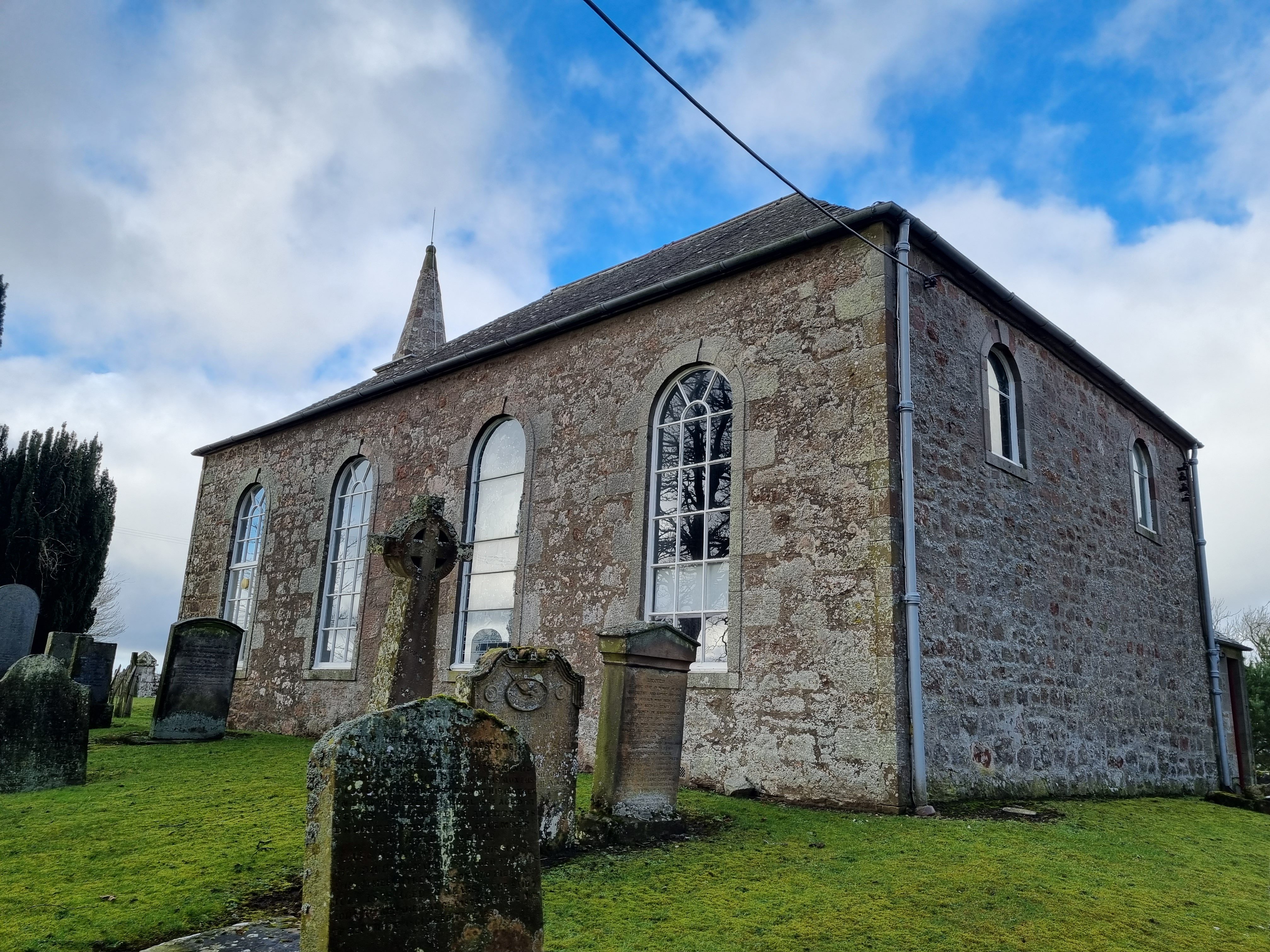
Roadside Strips Images
Images are sourced within 2km of 55.678964/-3.5579655 or Grid Reference NT0243. Thanks to Geograph Open Source API. All images are credited.

Roadside Strips is located at Grid Ref: NT0243 (Lat: 55.678964, Lng: -3.5579655)
Unitary Authority: South Lanarkshire
Police Authority: Lanarkshire
What 3 Words
///gave.noise.removers. Near Carnwath, South Lanarkshire
Nearby Locations
Related Wikis

Newbigging railway station
Newbigging railway station served the hamlet of Newbigging, South Lanarkshire, Scotland from 1867 to 1945 on the Dolphinton branch. == History == The station...

Newbigging, South Lanarkshire
Newbigging (Scots: Neebicken) is a hamlet in South Lanarkshire, Scotland. It is near Dunsyre at the southern end of the Pentland Hills. It is on the A72...
South Medwin River
South Medwin, sometimes spelled Medwyn, is a river in the Lanarkshire region of Scotland. Along with the confluence of the North Medwin River it forms...

North Medwyn River
North Medwyn is a river in the Lanarkshire region of Scotland. Along with the confluence of the South Medwyn River it forms the Medwyn water basin. The...
Libberton
Libberton is a village and historical parish in South Lanarkshire. The village is approximately 2 miles (3.2 km) north of Quothquan and 2.3 miles (3.68...

Shieldhill Castle
Shieldhill Castle is a category B listed building located near Biggar in South Lanarkshire. The building dates back to 1199 and is currently being run...
Bankhead (Lanarkshire) railway station
Bankhead railway station served the isolated settlement of Bankhead, east of Carstairs Junction in South Lanarkshire, Scotland from 1867 to 1945 on the...
Elsrickle
Elsrickle is a village in South Lanarkshire, Scotland. It lies on Blackmount Hill, which is at the end of the Pentland Hills. An elrick is an old place...
Nearby Amenities
Located within 500m of 55.678964,-3.5579655Have you been to Roadside Strips?
Leave your review of Roadside Strips below (or comments, questions and feedback).