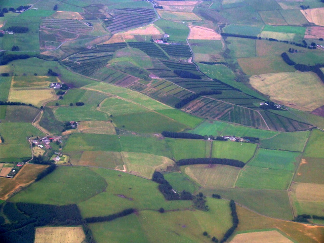
Wooleyburn Strip
Wood, Forest in Lanarkshire
Scotland
Wooleyburn Strip

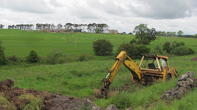
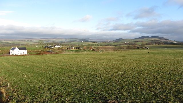
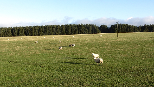
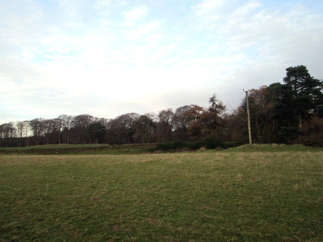
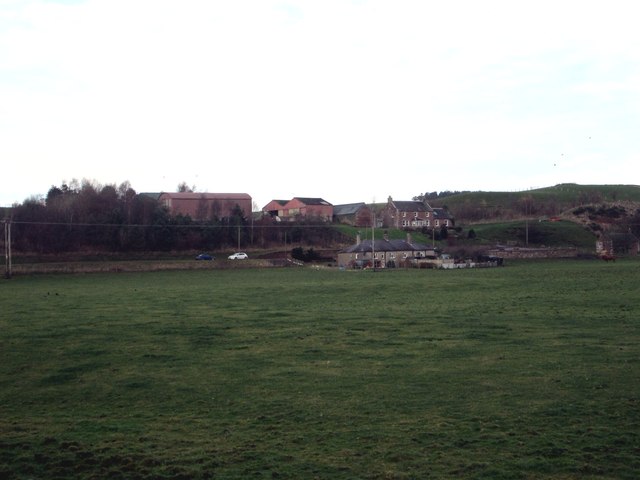
Wooleyburn Strip, located in Lanarkshire, Scotland, is a serene and picturesque woodland area. Spread across a vast expanse, it is known for its dense forest and abundant wildlife, making it a popular destination for nature enthusiasts and hikers alike.
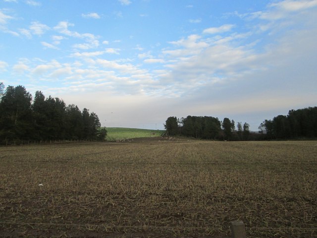
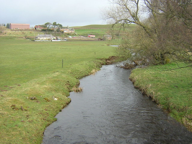
The strip is characterized by its diverse range of tree species, including oak, birch, and pine, which create a stunning canopy overhead. The forest floor is covered in a thick carpet of moss and ferns, adding to the enchanting atmosphere. The tranquility of the surroundings is enhanced by the gentle babbling of the Wooleyburn River, which meanders through the strip.
The woodland is home to a rich variety of wildlife, making it a haven for animal lovers. Visitors may spot red squirrels darting through the trees, or catch a glimpse of roe deer grazing in the glades. Birdwatchers will delight in the opportunity to observe species such as woodpeckers, owls, and various songbirds.
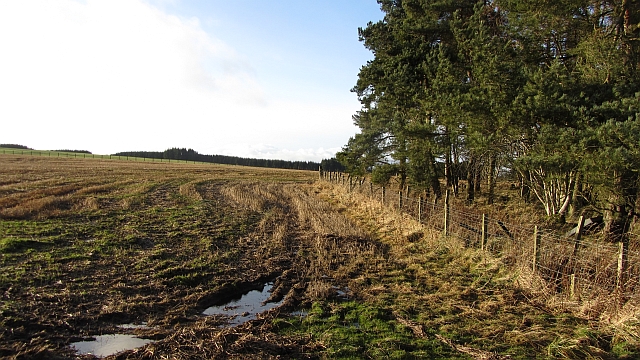
For those seeking outdoor activities, Wooleyburn Strip offers well-maintained walking trails that cater to different fitness levels. These paths wind through the forest, offering stunning views of the surrounding landscape and providing opportunities for peaceful reflection. Additionally, the strip features picnic areas where visitors can pause and enjoy a meal amidst the natural beauty.
Wooleyburn Strip is easily accessible, with ample parking facilities and well-marked entrances. The strip is a cherished local gem, offering visitors a chance to escape the hustle and bustle of everyday life and immerse themselves in the tranquility of nature.
If you have any feedback on the listing, please let us know in the comments section below.
Wooleyburn Strip Images
Images are sourced within 2km of 55.675599/-3.5497532 or Grid Reference NT0243. Thanks to Geograph Open Source API. All images are credited.


Wooleyburn Strip is located at Grid Ref: NT0243 (Lat: 55.675599, Lng: -3.5497532)
Unitary Authority: South Lanarkshire
Police Authority: Lanarkshire
What 3 Words
///clustered.panic.loyal. Near Carnwath, South Lanarkshire
Nearby Locations
Related Wikis

Newbigging railway station
Newbigging railway station served the hamlet of Newbigging, South Lanarkshire, Scotland from 1867 to 1945 on the Dolphinton branch. == History == The station...

Newbigging, South Lanarkshire
Newbigging (Scots: Neebicken) is a hamlet in South Lanarkshire, Scotland. It is near Dunsyre at the southern end of the Pentland Hills. It is on the A72...
South Medwin River
South Medwin, sometimes spelled Medwyn, is a river in the Lanarkshire region of Scotland. Along with the confluence of the North Medwin River it forms...
Elsrickle
Elsrickle is a village in South Lanarkshire, Scotland. It lies on Blackmount Hill, which is at the end of the Pentland Hills. An elrick is an old place...
Libberton
Libberton is a village and historical parish in South Lanarkshire. The village is approximately 2 miles (3.2 km) north of Quothquan and 2.3 miles (3.68...

North Medwyn River
North Medwyn is a river in the Lanarkshire region of Scotland. Along with the confluence of the South Medwyn River it forms the Medwyn water basin. The...

Shieldhill Castle
Shieldhill Castle is a category B listed building located near Biggar in South Lanarkshire. The building dates back to 1199 and is currently being run...

Walston, South Lanarkshire
Walston is a hamlet in the middle of black mount area of South Lanarkshire. == History == Patrick Molleson in the Old Statistical Account records that...
Nearby Amenities
Located within 500m of 55.675599,-3.5497532Have you been to Wooleyburn Strip?
Leave your review of Wooleyburn Strip below (or comments, questions and feedback).