Belnain Wood

Wood, Forest in Morayshire

Scotland

Belnain Wood

A940 near Carnach
A940 near Carnach Credit: Steven Brown

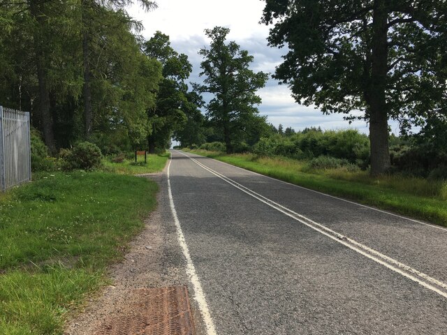
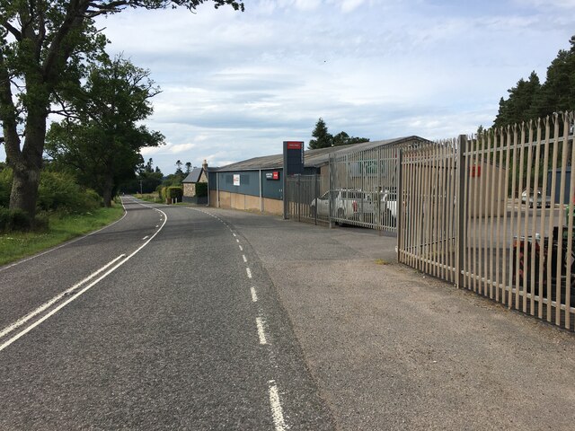
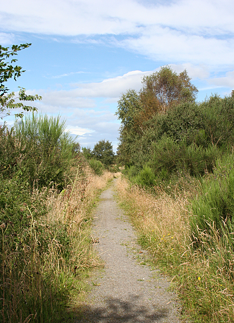
Belnain Wood is a charming and enchanting forest located in Morayshire, Scotland. Spanning approximately 400 hectares, it is a significant natural attraction in the region. The woodland is situated in a picturesque setting, nestled between the rolling hills and lush countryside, offering visitors a haven of tranquility and natural beauty.

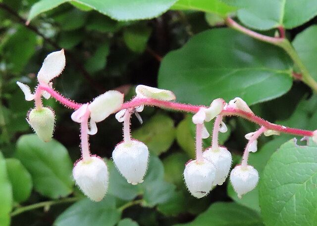
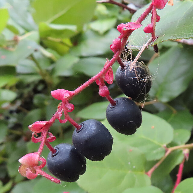
The forest boasts a diverse range of tree species, including Scots pine, birch, oak, and rowan. This rich variety of foliage creates a vibrant and colorful landscape throughout the year, with stunning displays of autumnal hues and verdant greenery in the spring and summer months.

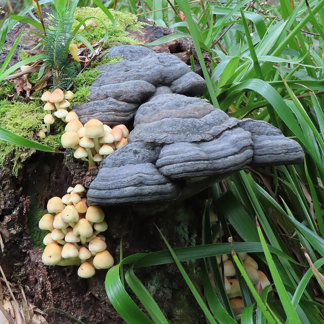
Belnain Wood is a haven for wildlife enthusiasts and nature lovers alike. The forest is home to a wide array of animal species, such as red squirrels, roe deer, and a multitude of bird species, including woodpeckers and owls. Exploring the forest's winding trails and pathways offers visitors the opportunity to spot these fascinating creatures in their natural habitat.

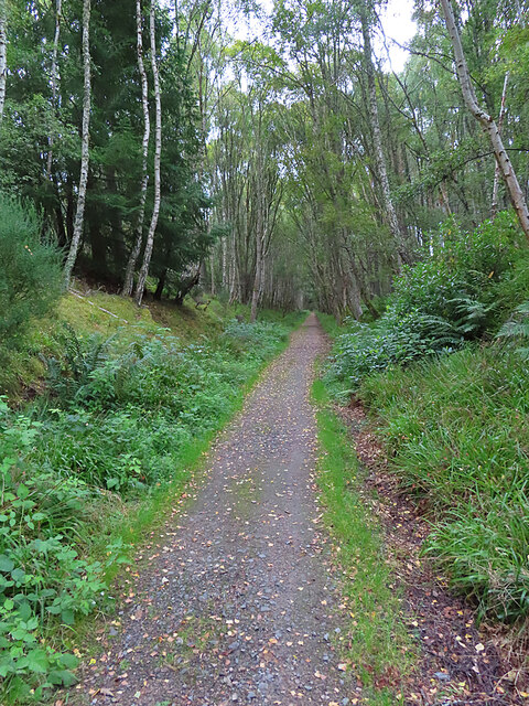
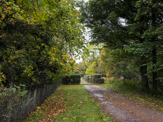
The woodland also features a network of well-maintained walking trails, which are suitable for both leisurely strolls and more challenging hikes. These trails offer visitors the chance to fully immerse themselves in the peaceful surroundings and enjoy the fresh air and tranquility of the forest.

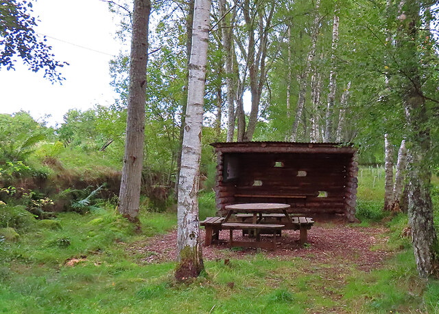
Moreover, the forest is a popular spot for picnicking, family outings, and photography. It provides a serene and idyllic backdrop for capturing memorable moments or simply enjoying a leisurely picnic amidst the natural splendor.

Overall, Belnain Wood is a must-visit destination for those seeking solace in nature and a true appreciation for Scotland's breathtaking landscapes.

If you have any feedback on the listing, please let us know in the comments section below.

Belnain Wood Images

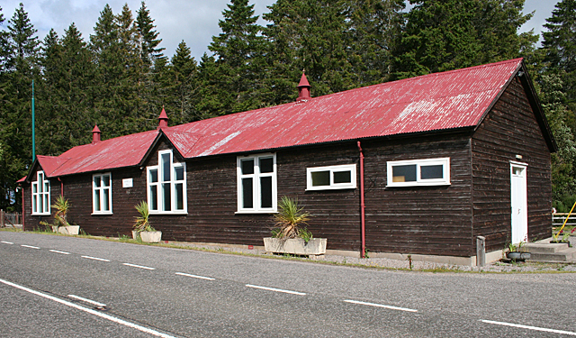
Images are sourced within 2km of 57.509264/-3.6356961 or Grid Reference NJ0247. Thanks to Geograph Open Source API. All images are credited.

A940 near Carnach
A940 near Carnach
A940 near Carnach
A940 near Carnach
Picnic Shelter All-weather facilities close to Edinkillie's community hall.
Picnic Shelter
All-weather facilities close to Edinkillie's community hall.
Shallon (Gaultheria shallon) A few late flowers on a patch of this widely naturalised and potentially invasive plant from western North America.
Shallon (Gaultheria shallon)
A few late flowers on a patch of this widely naturalised and potentially invasive plant from western North America.
Shallon (Gaultheria shallon) A spray of ripe berries on a patch of this widely naturalised and potentially invasive plant from western North America.
Shallon (Gaultheria shallon)
A spray of ripe berries on a patch of this widely naturalised and potentially invasive plant from western North America.
Fungi Two very different types of fungus on a dead tree stump.

I realised on returning home that I had photographed the identical fungus before <a href="https://www.geograph.org.uk/photo/6577964">NJ0147 : Bracket Fungus</a>, though it did not then have its festoon of toadstools.
Fungi
Two very different types of fungus on a dead tree stump. I realised on returning home that I had photographed the identical fungus before NJ0147 : Bracket Fungus, though it did not then have its festoon of toadstools.
Dava Way The path here passes through a shady railway cutting.
Dava Way
The path here passes through a shady railway cutting.
Divie Viaduct This is the greatest piece of engineering on the former Inverness and Perth Junction Railway. The foundation stone was laid in 1861 and the line opened in 1863. Just over 100 years later it was closed as part of the famous Beeching cuts.
Divie Viaduct
This is the greatest piece of engineering on the former Inverness and Perth Junction Railway. The foundation stone was laid in 1861 and the line opened in 1863. Just over 100 years later it was closed as part of the famous Beeching cuts.
Edinkillie Church and manse, plus modern buildings, seen from the Divie Viaduct.
Edinkillie
Church and manse, plus modern buildings, seen from the Divie Viaduct.
Approach to cemetery at  Edinkillie The is the new cemetery; it's close to the farm at Glenernie on the west side of the A940.
Approach to cemetery at Edinkillie
The is the new cemetery; it's close to the farm at Glenernie on the west side of the A940.
Edinkillie War Memorial War Memorial by Edinkillie Parish Church.
Edinkillie War Memorial
War Memorial by Edinkillie Parish Church.
O.S Benchmark Recorded on Benchmark Database as 'Edinkillie, Church'.
O.S Benchmark
Recorded on Benchmark Database as 'Edinkillie, Church'.
Edenkillie Parish Church The building dates back to 1741.
Edenkillie Parish Church
The building dates back to 1741.
Kinnaird Bridge Estate bridge over the River Divie
Kinnaird Bridge
Estate bridge over the River Divie
Bantrach - Looking towards Hill of Glaschyle Glaschyle wind farm under construction at the time this photo was taken.
Bantrach - Looking towards Hill of Glaschyle
Glaschyle wind farm under construction at the time this photo was taken.
The Divie Viaduct Built in 1861 by the Inverness and Perth Junction Railway, the Divie Viaduct now carries the Dava Way long distance path over the River Divie. <span class="nowrap"><a title="http://www.davaway.org.uk/" rel="nofollow ugc noopener" href="http://www.davaway.org.uk/">Link</a><img style="margin-left:2px;" alt="External link" title="External link - shift click to open in new window" src="https://s1.geograph.org.uk/img/external.png" width="10" height="10"/></span>
The Divie Viaduct
Built in 1861 by the Inverness and Perth Junction Railway, the Divie Viaduct now carries the Dava Way long distance path over the River Divie. LinkExternal link
Edinkillie Hall The hall serves a scattered community along the road between Forres and Grantown.
Edinkillie Hall
The hall serves a scattered community along the road between Forres and Grantown.
Dava Way near Dunphail Looking north on the route not far from Dunphail.
Dava Way near Dunphail
Looking north on the route not far from Dunphail.
Show me another place!

Belnain Wood is located at Grid Ref: NJ0247 (Lat: 57.509264, Lng: -3.6356961)

Unitary Authority: Moray

Police Authority: North East

What 3 Words

///backhand.units.punctual. Near Forres, Moray

Related Wikis

Dunphail railway station

Dunphail railway station was opened with the Inverness and Perth Junction Railway in 1863. == Station layout == The station layout was double platform...
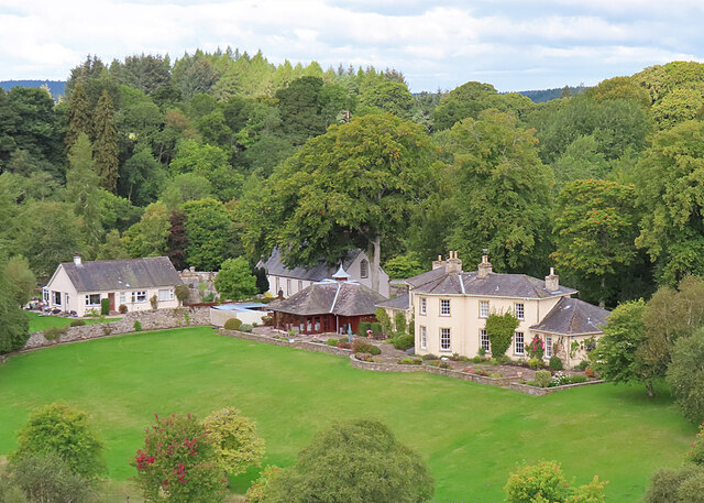
Dunphail House

Dunphail House is an Italianate country house in Moray, Scotland. It was designed by William Henry Playfair for Charles Lennox Cumming-Bruce, and was completed...

Edinkillie House

Edinkillie House is a country house in Edinkillie in Moray, Scotland, built in 1822–1823 by John Paterson as a manse for the nearby Edinkillie Church....

Dunphail Castle

Dunphail Castle is a ruined 14th-century tower house, about 6.5 miles (10.5 km) south of Forres, Moray, Scotland, west of nearby Dunphail House, and east...

Nearby Amenities

Located within 500m of 57.509264,-3.6356961
Power: pole
Lat/Long: 57.5082152/-3.6435406
Power: pole
Lat/Long: 57.5077581/-3.642799
Power: pole
Lat/Long: 57.507301/-3.6420545
Power: pole
Lat/Long: 57.5068488/-3.6413282
Power: pole
Lat/Long: 57.5066643/-3.6412856
Power: pole
Lat/Long: 57.5068651/-3.6411474
Power: pole
Lat/Long: 57.5072046/-3.6407386
Power: pole
Lat/Long: 57.5076283/-3.6402281
Aucheorn
Place: hamlet
Lat/Long: 57.5050356/-3.6362937
The data included in this document is from www.openstreetmap.org. The data is made available under ODbL.

Have you been to Belnain Wood?

Leave your review of Belnain Wood below (or comments, questions and feedback).