Moss of Dunphail
Downs, Moorland in Morayshire
Scotland
Moss of Dunphail
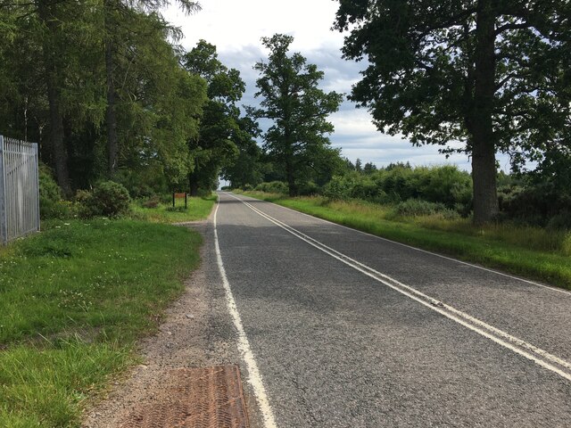
Moss of Dunphail is a picturesque area located in Morayshire, a historic county in the northeast of Scotland. Situated on the northern slopes of the Highlands, it is known for its stunning downs and moorland landscapes.
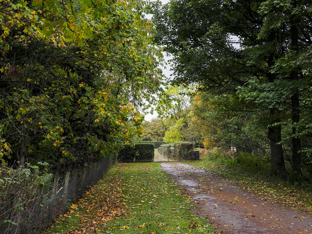
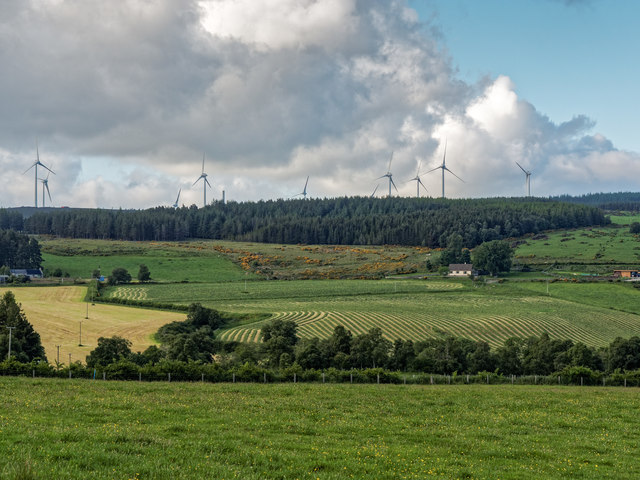
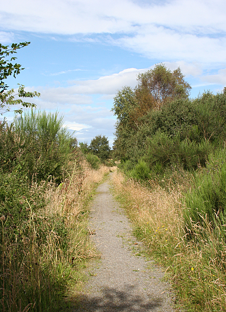
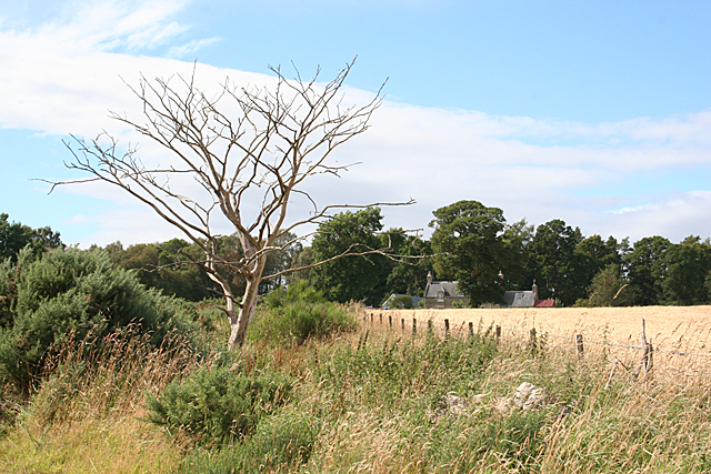
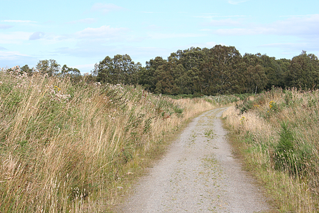
Covering an expansive area, Moss of Dunphail is characterized by its vast stretches of open land, covered in a thick carpet of mosses, heather, and grasses. The terrain is undulating, with gentle slopes and small hills dotting the landscape. The vibrant colors of the heather, ranging from deep purples to vibrant pinks, create a breathtaking sight, particularly during the summer and early autumn months.
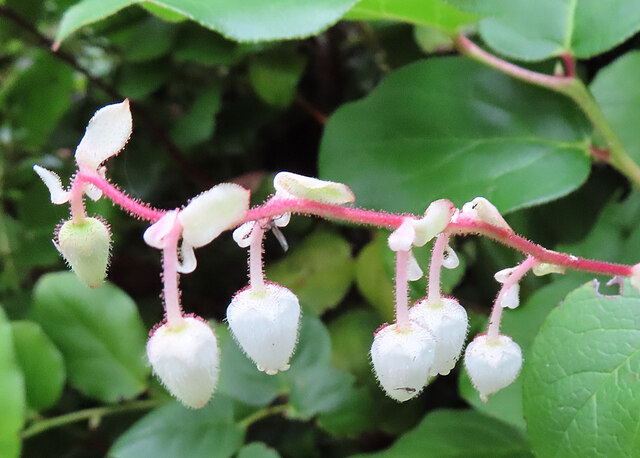
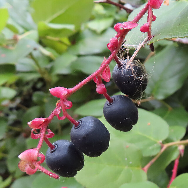
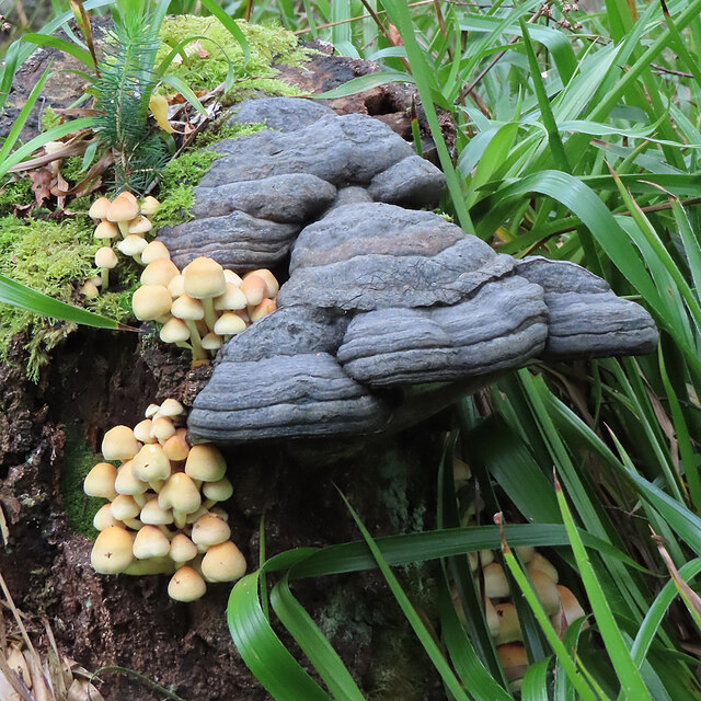
The moss-covered ground is home to a variety of plant species, including sphagnum moss, which thrives in the wet and acidic conditions of the area. This unique environment supports a diverse range of wildlife, including birds such as curlews, red grouse, and lapwings, as well as small mammals like hares and voles.
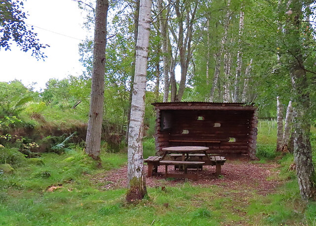
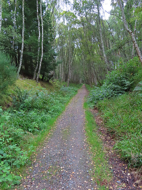
The area is popular among nature enthusiasts, hikers, and birdwatchers, who can enjoy the tranquility and natural beauty of Moss of Dunphail. The open expanses offer ample opportunities for walking, picnicking, and photography, allowing visitors to immerse themselves in the peacefulness and serenity of the Scottish countryside.
Overall, Moss of Dunphail is a remarkable destination for those seeking to experience the rugged beauty of the Scottish moorland. With its stunning vistas, diverse flora and fauna, and peaceful ambience, it offers a truly memorable experience for nature lovers and adventurers alike.
If you have any feedback on the listing, please let us know in the comments section below.
Moss of Dunphail Images
Images are sourced within 2km of 57.510706/-3.6249268 or Grid Reference NJ0247. Thanks to Geograph Open Source API. All images are credited.
Moss of Dunphail is located at Grid Ref: NJ0247 (Lat: 57.510706, Lng: -3.6249268)
Unitary Authority: Moray
Police Authority: North East
What 3 Words
///easy.breathing.fame. Near Forres, Moray
Nearby Locations
Related Wikis

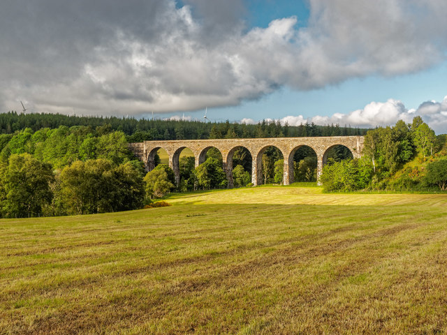
Dunphail railway station
Dunphail railway station was opened with the Inverness and Perth Junction Railway in 1863. == Station layout == The station layout was double platform...

Edinkillie House
Edinkillie House is a country house in Edinkillie in Moray, Scotland, built in 1822–1823 by John Paterson as a manse for the nearby Edinkillie Church....

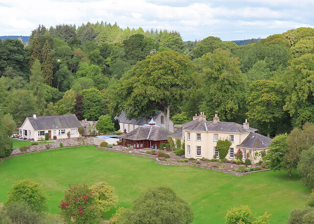
Dunphail House
Dunphail House is an Italianate country house in Moray, Scotland. It was designed by William Henry Playfair for Charles Lennox Cumming-Bruce, and was completed...
Dunphail Castle
Dunphail Castle is a ruined 14th-century tower house, about 6.5 miles (10.5 km) south of Forres, Moray, Scotland, west of nearby Dunphail House, and east...
Nearby Amenities
Located within 500m of 57.510706,-3.6249268Have you been to Moss of Dunphail?
Leave your review of Moss of Dunphail below (or comments, questions and feedback).