Llanbydderi Moor

Downs, Moorland in Glamorgan

Wales

Llanbydderi Moor

Ordnance Survey Cut Mark This OS cut mark can be found on the building NE side of the road. It marks a point 60.597m above mean sea level.
Ordnance Survey Cut Mark Credit: Adrian Dust

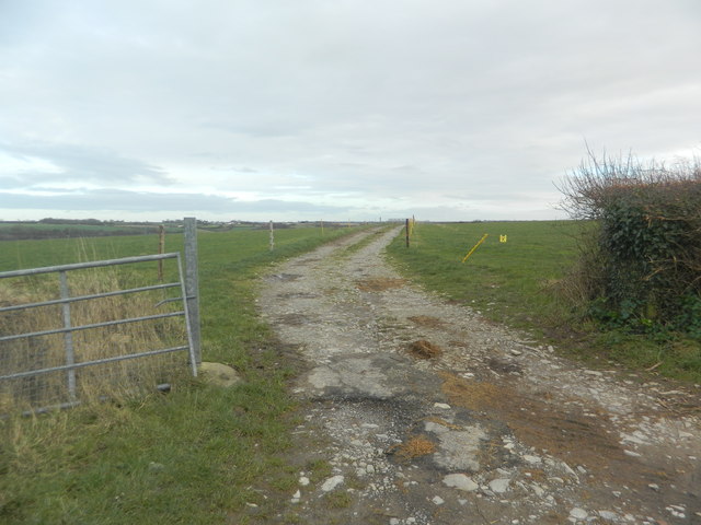
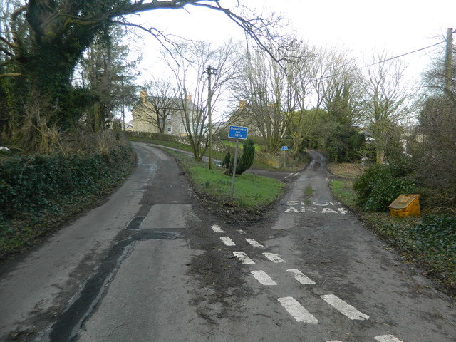
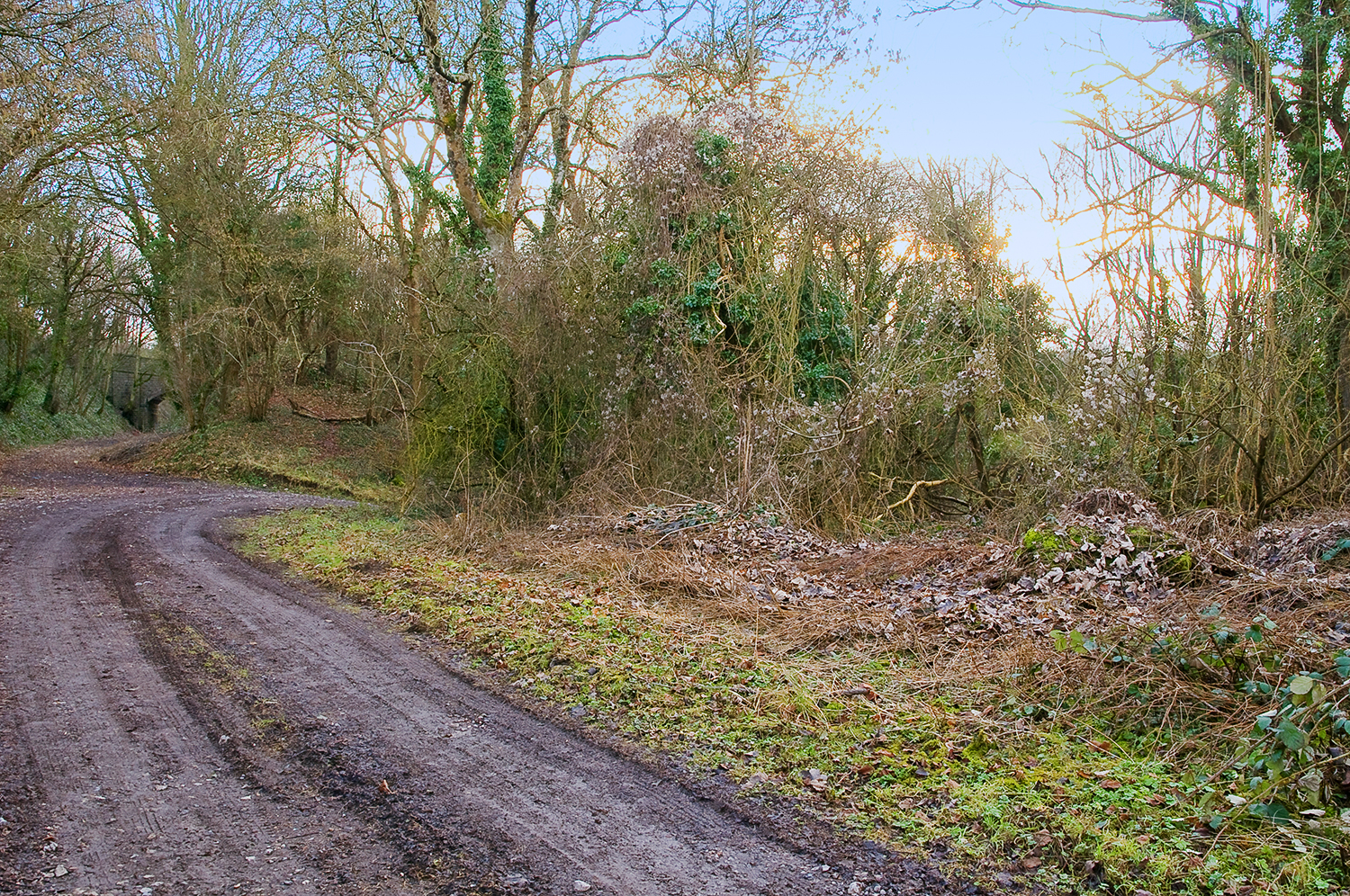
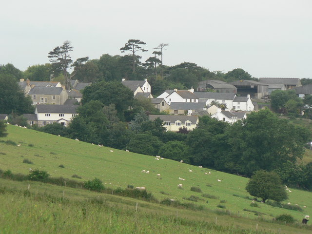
Llanbydderi Moor is a vast expanse of moorland located in the county of Glamorgan, Wales. Stretching over several kilometers, this picturesque landscape is situated in the southern part of the county, between the towns of Bridgend and Cowbridge.

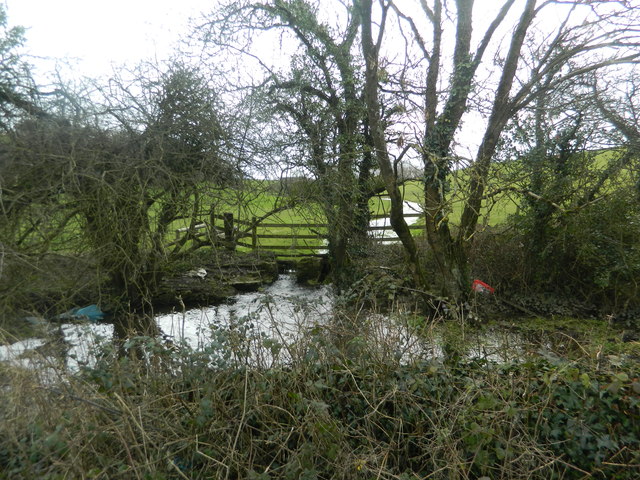
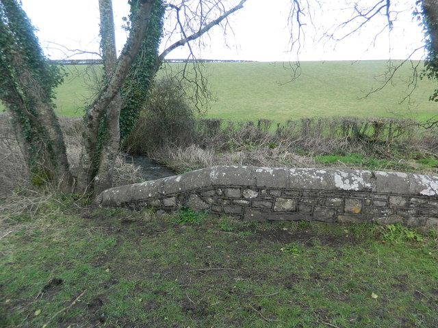
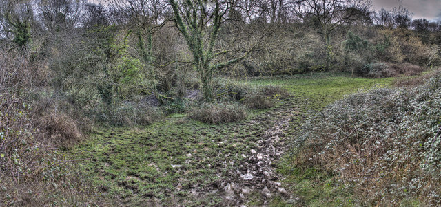
The moorland is characterized by its rolling hills, heather-covered slopes, and open grasslands. It is a haven for wildlife enthusiasts and nature lovers, boasting a rich variety of flora and fauna. The heather provides a stunning purple hue during the summer months, while the grasslands are home to a diverse range of wildflowers, including orchids and buttercups.

Llanbydderi Moor is also renowned for its archaeological significance. The area contains numerous Neolithic and Bronze Age burial mounds, suggesting that it has been inhabited for thousands of years. These ancient monuments offer a glimpse into the area's history and provide a fascinating insight into the lives of the people who once called this moorland home.

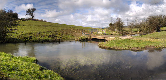
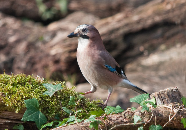
Visitors to Llanbydderi Moor can enjoy a variety of activities, such as hiking, birdwatching, and photography. The moorland is crisscrossed by a network of walking trails, offering stunning panoramic views of the surrounding countryside. Bird enthusiasts will be delighted by the array of species that inhabit the area, including rare birds of prey, such as the red kite and peregrine falcon.

Overall, Llanbydderi Moor is a captivating destination that combines natural beauty, rich history, and diverse wildlife, making it a must-visit location for anyone exploring the Glamorgan region of Wales.

If you have any feedback on the listing, please let us know in the comments section below.

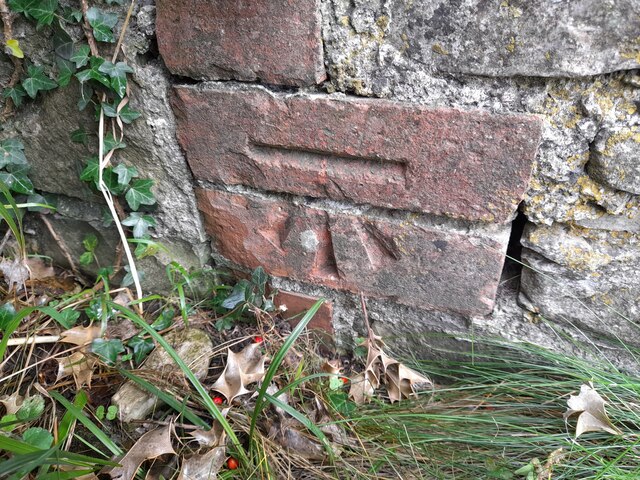
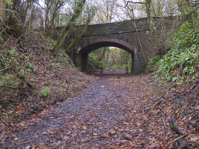
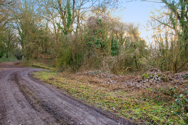
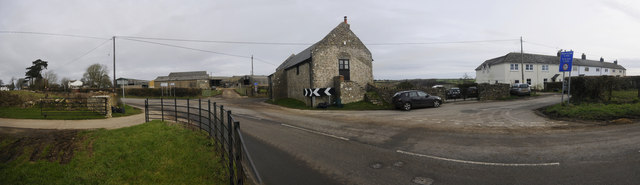
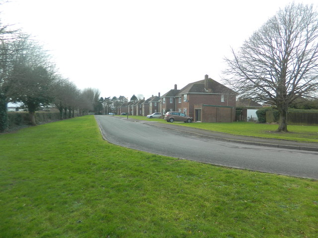
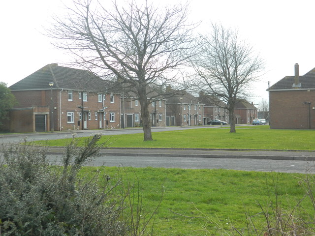
Llanbydderi Moor Images

Images are sourced within 2km of 51.420901/-3.3993517 or Grid Reference ST0270. Thanks to Geograph Open Source API. All images are credited.

Ordnance Survey Cut Mark This OS cut mark can be found on the building NE side of the road. It marks a point 60.597m above mean sea level.
Ordnance Survey Cut Mark
This OS cut mark can be found on the building NE side of the road. It marks a point 60.597m above mean sea level.
Bridge over the line of the Cowbridge & Aberthaw Railway Looking south from near the site of the Llanbethery Platform.
Bridge over the line of the Cowbridge & Aberthaw Railway
Looking south from near the site of the Llanbethery Platform.
Llanbethery Platform, Cowbridge & Aberthaw Railway The remains of the platform (halt) are on the right of the photo.
The bridge on the left carried the road to Llanbethery over the railway.
Llanbethery Platform, Cowbridge & Aberthaw Railway
The remains of the platform (halt) are on the right of the photo. The bridge on the left carried the road to Llanbethery over the railway.
Pancross, Llancarfan This extreme wide angle view takes in about 210°
Pancross, Llancarfan
This extreme wide angle view takes in about 210°
They Also Serve Who Stand and Wait! A member of the RAF Falcons Parachute Display Team monitoring the landing area at the RAF St Athan 75th Anniversary celebration to ensure that conditions are right for the display to commence. He will be in constant contact with the aircraft carrying the team receiving and conveying all relevant information to ensure a safe display. The team are recruited from the staff of No 1 Parachute Training School who are responsible for all UK basic military training whose instructors have, in turn, been recruited from volunteers in the Trade of RAF Physical Training Instructor.
They Also Serve Who Stand and Wait!
A member of the RAF Falcons Parachute Display Team monitoring the landing area at the RAF St Athan 75th Anniversary celebration to ensure that conditions are right for the display to commence. He will be in constant contact with the aircraft carrying the team receiving and conveying all relevant information to ensure a safe display. The team are recruited from the staff of No 1 Parachute Training School who are responsible for all UK basic military training whose instructors have, in turn, been recruited from volunteers in the Trade of RAF Physical Training Instructor.
They Also Serve Who Stand and Wait. A member of the RAF Falcons Parachute Display Team, having monitored the landing area at the RAF St Athan 75th Anniversary celebration display, ignites a smoke flare so that the team, who are now in a  circuit 12,000 ft above, can ascertain wind conditions. Unlike the superb Red Arrows team the Falcons are entirely dependent on mastering the vagaries of air currents, wind strength and direction, and their canopies to ensure a good display and safe landing.
They Also Serve Who Stand and Wait.
A member of the RAF Falcons Parachute Display Team, having monitored the landing area at the RAF St Athan 75th Anniversary celebration display, ignites a smoke flare so that the team, who are now in a circuit 12,000 ft above, can ascertain wind conditions. Unlike the superb Red Arrows team the Falcons are entirely dependent on mastering the vagaries of air currents, wind strength and direction, and their canopies to ensure a good display and safe landing.
The Royal Air Force Falcons Display Team - St Athan Exiting their aircraft at 12,000 ft the team free fall to 4,000 ft having reached a speed of some 120 mph. At this point their canopies have been released and they form up for a variety of turns and spirals. The canopies used are steerable so at the appropriate time they steer to approach the DZ (Drop Zone) into wind to  land.
The Royal Air Force Falcons Display Team - St Athan
Exiting their aircraft at 12,000 ft the team free fall to 4,000 ft having reached a speed of some 120 mph. At this point their canopies have been released and they form up for a variety of turns and spirals. The canopies used are steerable so at the appropriate time they steer to approach the DZ (Drop Zone) into wind to land.
Safe landing - St Athan To him, just another day 'at the office'. To those watching, a big round of applause for these guys who work so hard both in display and operational roles in military service.
Safe landing - St Athan
To him, just another day 'at the office'. To those watching, a big round of applause for these guys who work so hard both in display and operational roles in military service.
Housing near Flemingston
Housing near Flemingston Former military housing?
Housing near Flemingston
Former military housing?
Farm track, Flemingston
Flemingston
Flemingston
The Nant y Stepsau
The Nant y Stepsau
Bridge over the Nant y Stepsau
Rills Valley The valley is an SSSI. The foot path through it is seldom dry.
Rills Valley
The valley is an SSSI. The foot path through it is seldom dry.
Farm Bridge  across the River Thaw The bridge also serves the footpath running across the valley bed.
The power lines run north from the Aberthaw power station on the coast.
Farm Bridge across the River Thaw
The bridge also serves the footpath running across the valley bed. The power lines run north from the Aberthaw power station on the coast.
Electricity Pylon Looking north up the Thaw Valley.
The Aberthaw power station is two miles south on the coast.
Electricity Pylon
Looking north up the Thaw Valley. The Aberthaw power station is two miles south on the coast.
Jay The Jay is a large and colourful bird yet is rarely seen.  Its harsh call is  often heard when walking in woodland however.  Being a member of the Crow family it is highly intelligent and particularly alert to intrusion in its home territory and its call as it flies to safety alerts all inhabitants of the woodland to our presence. For this reason it is sometimes known as the Watchman of the Woods.  When rarely seen in the open and flying to the nearest woodland cover it is identifiable  by its large size and obvious white rump.
Jay
The Jay is a large and colourful bird yet is rarely seen. Its harsh call is often heard when walking in woodland however. Being a member of the Crow family it is highly intelligent and particularly alert to intrusion in its home territory and its call as it flies to safety alerts all inhabitants of the woodland to our presence. For this reason it is sometimes known as the Watchman of the Woods. When rarely seen in the open and flying to the nearest woodland cover it is identifiable by its large size and obvious white rump.
Show me another place!

Llanbydderi Moor is located at Grid Ref: ST0270 (Lat: 51.420901, Lng: -3.3993517)

Unitary Authority: The Vale of Glamorgan

Police Authority: South Wales

What 3 Words

///organ.under.freezers. Near Rhoose, Vale of Glamorgan

Related Wikis

Llanbethery Platform railway station

Llanbethery Platform was a short-lived railway station in the Vale of Glamorgan, South Wales. == History == The station was one of four platforms opened...

Llanbethery

Llanbethery (Welsh: Llanbydderi) is a small village in the Vale of Glamorgan, south Wales. It is part of the community of Llancarfan.Llanbethery was once...

Vale of Glamorgan

The Vale of Glamorgan (Welsh: Bro Morgannwg [ˈbroː mɔrˈɡanʊɡ]), often referred to as The Vale, is a county borough in the south-east of Wales. It borders...

Flemingston

Flemingston (Welsh: Lanmihangel y Twyn, or Treffelemin) (previously known in English as Michaelston Le Mont, Flimston or Flimstone) is a small village...

Nearby Amenities

Located within 500m of 51.420901,-3.3993517
Power: tower
Lat/Long: 51.422032/-3.4026929
Power: tower
Lat/Long: 51.4181109/-3.3951516
Power: tower
Lat/Long: 51.420097/-3.3988611
Power: tower
Lat/Long: 51.42336/-3.3993622
Power: tower
Lat/Long: 51.418088/-3.3940889
Power: tower
Lat/Long: 51.4176765/-3.3958431
Power: tower
Lat/Long: 51.4201721/-3.397903
Power: tower
Lat/Long: 51.4219283/-3.4038307
Power: tower
Lat/Long: 51.4196904/-3.3995446
Power: pole
Lat/Long: 51.4193022/-3.393504
Power: pole
Lat/Long: 51.4208343/-3.3959529
Power: pole
Lat/Long: 51.4220787/-3.3978733
Power: pole
Lat/Long: 51.4235154/-3.4002364
Power: pole
Lat/Long: 51.4237981/-3.401489
The data included in this document is from www.openstreetmap.org. The data is made available under ODbL.

Have you been to Llanbydderi Moor?

Leave your review of Llanbydderi Moor below (or comments, questions and feedback).