The Park

Downs, Moorland in Devon East Devon

England

The Park

Rockbeare : Exeter Airport Looking beyond the runway at Exeter Airport.
Rockbeare : Exeter Airport Credit: Lewis Clarke

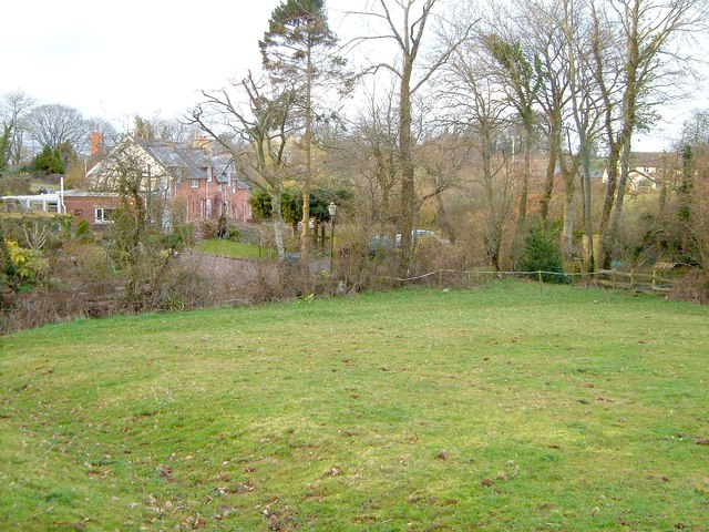
The Park, Devon is a picturesque area situated in the southwest of England. Known for its stunning landscapes, it encompasses both the Downs and Moorland, offering visitors a diverse range of natural beauty to explore.

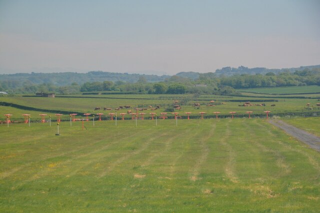
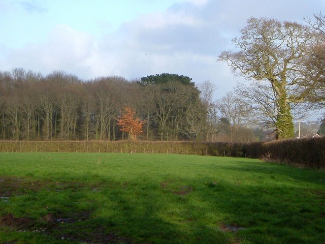
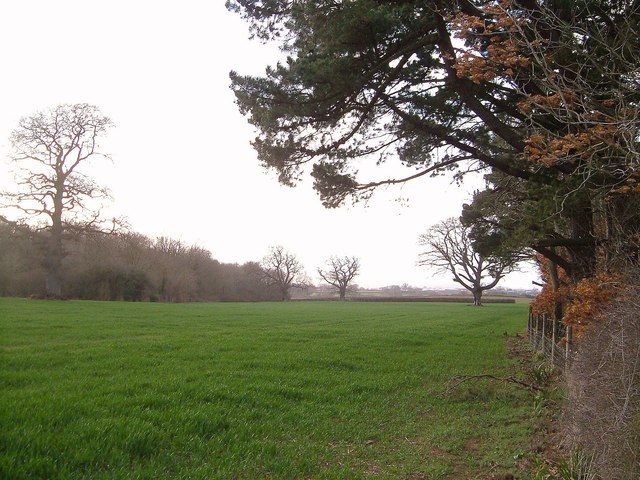
The Downs in The Park, Devon are characterized by rolling hills and expansive grasslands. This open space provides a perfect setting for leisure activities such as picnicking, kite flying, and scenic walks. The Downs are also home to a variety of wildlife, including rabbits, foxes, and numerous bird species, making it a popular spot for nature enthusiasts and birdwatchers.

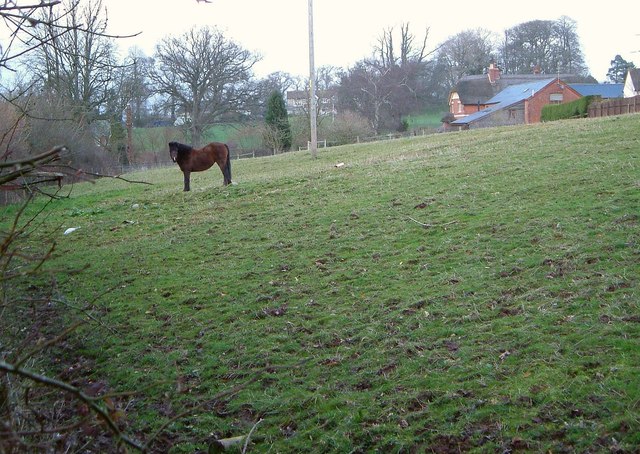
In contrast, the Moorland in The Park, Devon features a rugged terrain with heather-covered hills and rocky outcrops. This unique landscape creates an atmospheric and wild setting, attracting hikers and adventurers seeking a more challenging experience. The Moorland is also notable for its rich biodiversity, with rare plant species and unique wildlife, such as Dartmoor ponies and red deer, calling it home.

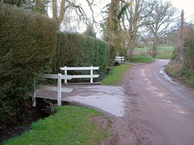
Visitors to The Park, Devon can enjoy a range of activities, including hiking, cycling, and horseback riding. There are also designated areas for camping and picnicking, allowing visitors to fully immerse themselves in the natural surroundings. Additionally, the area offers various visitor centers and guided tours, providing valuable information and insights into the history and ecology of The Park, Devon.

Overall, The Park, Devon (Downs, Moorland) is a captivating destination that showcases the beauty and diversity of the English countryside. Whether one seeks tranquility and relaxation or thrills and adventure, this area offers something for everyone.

If you have any feedback on the listing, please let us know in the comments section below.
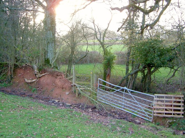
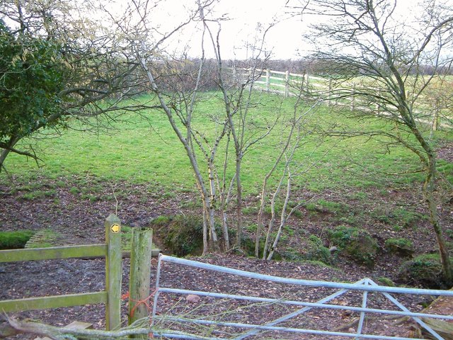
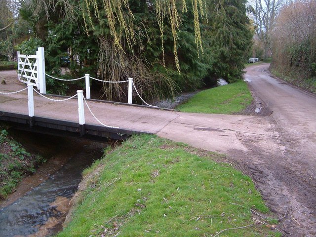
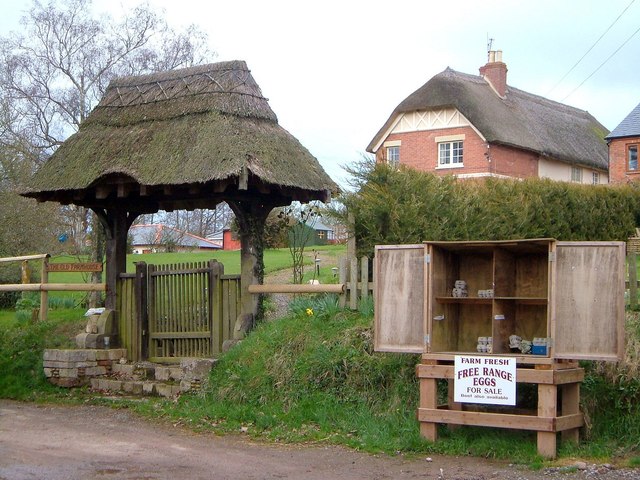
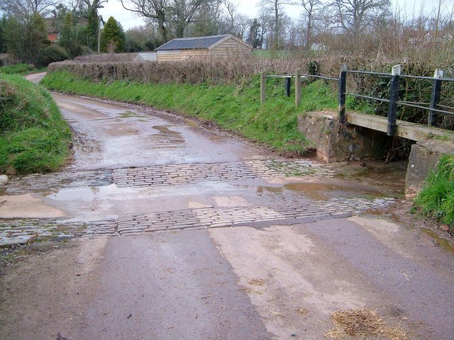
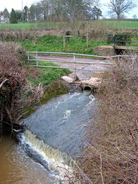
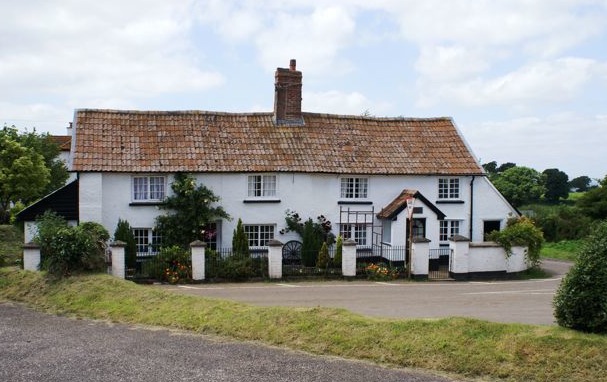
The Park Images

Images are sourced within 2km of 50.728042/-3.3781483 or Grid Reference SY0292. Thanks to Geograph Open Source API. All images are credited.

Rockbeare : Exeter Airport Looking beyond the runway at Exeter Airport.
Rockbeare : Exeter Airport
Looking beyond the runway at Exeter Airport.
Lay-by on the eastbound A30 at Lower Southwood
A30 passing under power lines Gribble Lane bridge in distance
A30 passing under power lines
Gribble Lane bridge in distance
Exeter Airport junction ahead
Gribble Lane Bridge, A30 The A30 is 284 miles long, from central London to Land's End, historically known as the Great South West Road. The M3 and A303 now are the preferred route for most travellers. Only part of the road is still a trunk road.
Wikipedia: <span class="nowrap"><a title="http://en.wikipedia.org/wiki/A30_road" rel="nofollow ugc noopener" href="http://en.wikipedia.org/wiki/A30_road">Link</a><img style="margin-left:2px;" alt="External link" title="External link - shift click to open in new window" src="https://s1.geograph.org.uk/img/external.png" width="10" height="10"/></span>
Gribble Lane Bridge, A30
The A30 is 284 miles long, from central London to Land's End, historically known as the Great South West Road. The M3 and A303 now are the preferred route for most travellers. Only part of the road is still a trunk road. Wikipedia: LinkExternal link
Overbridge, A30 The A30 is 284 miles long, from central London to Land's End, historically known as the Great South West Road. The M3 and A303 now are the preferred route for most travellers. Only part of the road is still a trunk road.
Wikipedia: <span class="nowrap"><a title="http://en.wikipedia.org/wiki/A30_road" rel="nofollow ugc noopener" href="http://en.wikipedia.org/wiki/A30_road">Link</a><img style="margin-left:2px;" alt="External link" title="External link - shift click to open in new window" src="https://s1.geograph.org.uk/img/external.png" width="10" height="10"/></span>
Overbridge, A30
The A30 is 284 miles long, from central London to Land's End, historically known as the Great South West Road. The M3 and A303 now are the preferred route for most travellers. Only part of the road is still a trunk road. Wikipedia: LinkExternal link
Gribble Lane Bridge, A30 The A30 is 284 miles long, from central London to Land's End, historically known as the Great South West Road. The M3 and A303 now are the preferred route for most travellers. Only part of the road is still a trunk road.
Wikipedia: <span class="nowrap"><a title="http://en.wikipedia.org/wiki/A30_road" rel="nofollow ugc noopener" href="http://en.wikipedia.org/wiki/A30_road">Link</a><img style="margin-left:2px;" alt="External link" title="External link - shift click to open in new window" src="https://s1.geograph.org.uk/img/external.png" width="10" height="10"/></span>
Gribble Lane Bridge, A30
The A30 is 284 miles long, from central London to Land's End, historically known as the Great South West Road. The M3 and A303 now are the preferred route for most travellers. Only part of the road is still a trunk road. Wikipedia: LinkExternal link
Towards Farringdon Wood A view from a gate by Willow Farm, with the wood two fields away. But here's something I can't explain - there's clearly a building, apparently a house, on the right, which doesn't seem to appear on maps or satellite images.
Towards Farringdon Wood
A view from a gate by Willow Farm, with the wood two fields away. But here's something I can't explain - there's clearly a building, apparently a house, on the right, which doesn't seem to appear on maps or satellite images.
Field by Farringdon Wood With a number of trees within it, and seen from the belt of trees bordering the B3184.
Field by Farringdon Wood
With a number of trees within it, and seen from the belt of trees bordering the B3184.
Bridges at Perkin's Village Giving access to properties over a tiny roadside stream.
Bridges at Perkin's Village
Giving access to properties over a tiny roadside stream.
Pasture at Perkin's Village I doubt if this creature still grazes this meadow. The listed farmhouse of  Rosamondford <span class="nowrap"><a title="http://www.historicengland.org.uk/listing/the-list/list-entry/1328733" rel="nofollow ugc noopener" href="http://www.historicengland.org.uk/listing/the-list/list-entry/1328733">Link</a><img style="margin-left:2px;" alt="External link" title="External link - shift click to open in new window" src="https://s1.geograph.org.uk/img/external.png" width="10" height="10"/></span> is on the hillside beyond.
Pasture at Perkin's Village
I doubt if this creature still grazes this meadow. The listed farmhouse of Rosamondford LinkExternal link is on the hillside beyond.
Meadow, Perkin's Village Crossed by Farringdon Footpath 11 which meets the lane through the village just across a stream among the trees on the right.
Meadow, Perkin's Village
Crossed by Farringdon Footpath 11 which meets the lane through the village just across a stream among the trees on the right.
Footpath, Perkin's Village Someone's seems anxious to stop the stile being used. I wonder how things look now? This is Farringdon Footpath 11, crossing its second stream in less than 100 metres.
Footpath, Perkin's Village
Someone's seems anxious to stop the stile being used. I wonder how things look now? This is Farringdon Footpath 11, crossing its second stream in less than 100 metres.
Footpath, Perkin's Village See <a href="https://www.geograph.org.uk/photo/4824537">SY0291 : Footpath, Perkin's Village</a>. Farringdon Footpath 11 doesn't cross the further stream here (that would be three streams in less than 100 metres) but, as the waymark suggests, turns left if you've made it over stile or through gate.
Footpath, Perkin's Village
See SY0291 : Footpath, Perkin's Village. Farringdon Footpath 11 doesn't cross the further stream here (that would be three streams in less than 100 metres) but, as the waymark suggests, turns left if you've made it over stile or through gate.
Bridge at Perkin's Village Another, rather graceful, bridge just along the lane from those in <a href="https://www.geograph.org.uk/photo/4824454">SY0291 : Bridges at Perkin's Village</a>, one of which can be seen in the background. Willow leaves are just coming out.
Bridge at Perkin's Village
Another, rather graceful, bridge just along the lane from those in SY0291 : Bridges at Perkin's Village, one of which can be seen in the background. Willow leaves are just coming out.
Eggs for sale, Perkin's Village Beef too, according to the notice. Beside the stall is a thatched gateway to the listed Rosamondford Farm <span class="nowrap"><a title="http://www.historicengland.org.uk/listing/the-list/list-entry/1328733" rel="nofollow ugc noopener" href="http://www.historicengland.org.uk/listing/the-list/list-entry/1328733">Link</a><img style="margin-left:2px;" alt="External link" title="External link - shift click to open in new window" src="https://s1.geograph.org.uk/img/external.png" width="10" height="10"/></span>.
Eggs for sale, Perkin's Village
Beef too, according to the notice. Beside the stall is a thatched gateway to the listed Rosamondford Farm LinkExternal link.
Ford, Perkin's Village A winter version of the late summer scene in <a href="https://www.geograph.org.uk/photo/3692283">SY0291 : Ford at Perkin's Village and Rosamondford</a>; the ford also appears in <a title="https://www.geograph.org.uk/search.php?i=60964649" href="https://www.geograph.org.uk/search.php?i=60964649">Link</a> .
Ford, Perkin's Village
A winter version of the late summer scene in SY0291 : Ford at Perkin's Village and Rosamondford; the ford also appears in Link .
Stream, Perkin's Village The stream emerges from a culvert beneath the ford shown in <a href="https://www.geograph.org.uk/photo/143290">SY0291 : Ford at Perkins Village</a> and drops over a small weir.
Stream, Perkin's Village
The stream emerges from a culvert beneath the ford shown in SY0291 : Ford at Perkins Village and drops over a small weir.
Show me another place!

The Park is located at Grid Ref: SY0292 (Lat: 50.728042, Lng: -3.3781483)

Administrative County: Devon

District: East Devon

Police Authority: Devon and Cornwall

What 3 Words

///exchanges.flamenco.pelted. Near Whimple, Devon

Related Wikis

Aylesbeare

Aylesbeare is a village and civil parish in the East Devon district of Devon, England, 8 miles (13 km) east of Exeter. According to the 2001 census, the...

Allercombe

Allercombe is a hamlet in east Devon, England. It lies just south of the A30 road between the villages of Whimple and Aylesbeare.

Marsh Green, Devon

Marsh Green is a small village about 8 miles east of Exeter and 4 miles west of Ottery St Mary in East Devon, England, at OS grid reference SY042936....

Farringdon, Devon

Farringdon is a village, civil parish and former manor in the district of East Devon in the county of Devon, England. The parish is surrounded clockwise...

Nearby Amenities

Located within 500m of 50.728042,-3.3781483
Barrier: stile
Lat/Long: 50.7294875/-3.3785646
Post Box
Lat/Long: 50.7315611/-3.3757537
Addr City: Exeter
Addr Housename: Stable Lodge
Addr Postcode: EX5 2LU
Addr Suburb: Rockbeare
Lat/Long: 50.7314201/-3.3765265
Barrier: stile
Lat/Long: 50.7263978/-3.3761958
Barrier: kissing_gate
Lat/Long: 50.724649/-3.3747394
Barrier: stile
Lat/Long: 50.7286313/-3.3759839
Power: pole
Lat/Long: 50.731847/-3.3778507
Power: pole
Lat/Long: 50.7315678/-3.3794195
Power: pole
Lat/Long: 50.7308726/-3.3830736
Power: pole
Lat/Long: 50.731118/-3.3817283
Power: pole
Lat/Long: 50.7324235/-3.3774001
Westcott
Is In: Devon
Place: hamlet
Lat/Long: 50.7312756/-3.3754302
Addr Housename: Little Westcott Farm
Lat/Long: 50.7313107/-3.3736072
Addr Housename: Beautiport Farm
Lat/Long: 50.7271406/-3.3827954
The data included in this document is from www.openstreetmap.org. The data is made available under ODbL.

Have you been to The Park?

Leave your review of The Park below (or comments, questions and feedback).