Glen Strip
Wood, Forest in Lanarkshire
Scotland
Glen Strip
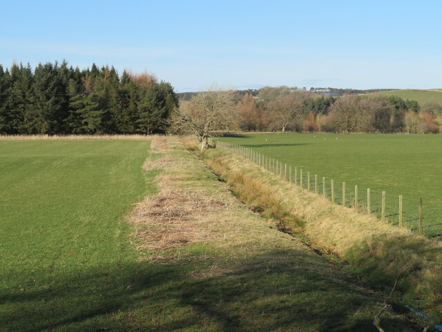
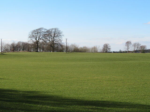
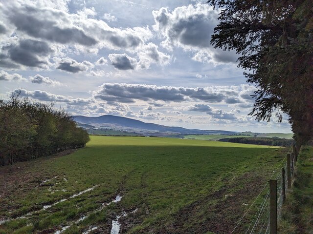
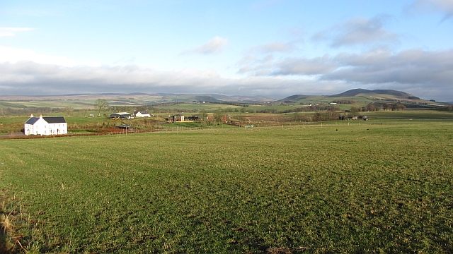
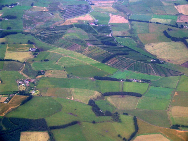
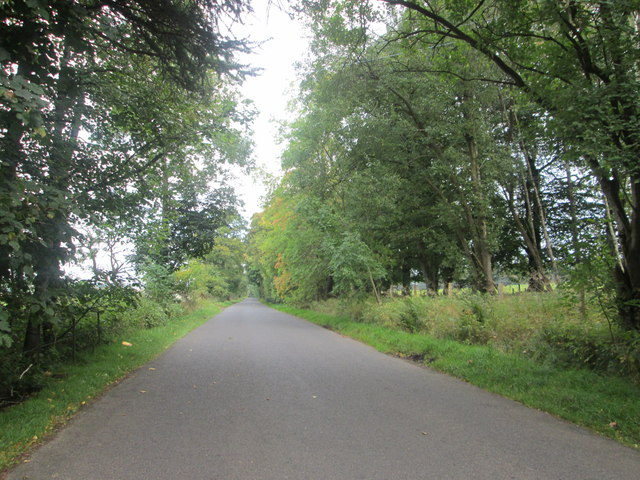
Glen Strip is a picturesque area located in the county of Lanarkshire, Scotland. Situated within a lush wood and forest, it offers visitors a serene and tranquil escape from the bustling city life. With its scenic beauty and diverse flora and fauna, Glen Strip attracts nature enthusiasts, hikers, and those seeking a peaceful retreat.
The wood and forest of Glen Strip boast an impressive variety of trees, including oak, birch, and pine, which create a dense canopy providing shade and shelter. The forest floor is carpeted with a rich assortment of wildflowers, ferns, and mosses, adding to the area's natural charm.
The area is also home to a diverse range of wildlife. Visitors may spot red deer, foxes, squirrels, and an array of bird species, including woodpeckers and owls. Glen Strip provides an ideal habitat for these creatures, offering a balance of food sources and ample cover.
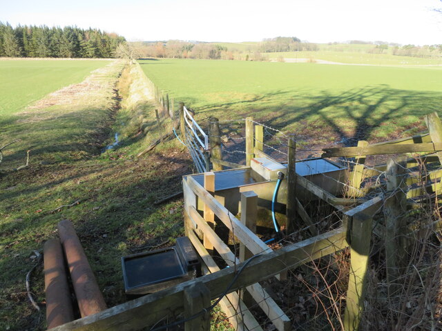
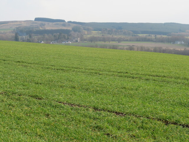
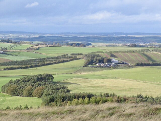
Several well-marked trails wind through the wood and forest, allowing visitors to explore and appreciate the beauty of the area. These trails cater to varying degrees of difficulty, accommodating both casual walkers and more experienced hikers. Along the way, there are numerous viewpoints that offer breathtaking vistas of the surrounding landscape, including rolling hills and a meandering river.
Glen Strip is a true gem of Lanarkshire, offering a peaceful and rejuvenating experience for nature lovers. Whether it's a leisurely stroll through the forest or an adventurous hike, this area promises to leave visitors with a lasting impression of its natural wonders.
If you have any feedback on the listing, please let us know in the comments section below.
Glen Strip Images
Images are sourced within 2km of 55.654266/-3.5575405 or Grid Reference NT0241. Thanks to Geograph Open Source API. All images are credited.


Glen Strip is located at Grid Ref: NT0241 (Lat: 55.654266, Lng: -3.5575405)
Unitary Authority: South Lanarkshire
Police Authority: Lanarkshire
What 3 Words
///advising.overlook.departure. Near Biggar, South Lanarkshire
Nearby Locations
Related Wikis

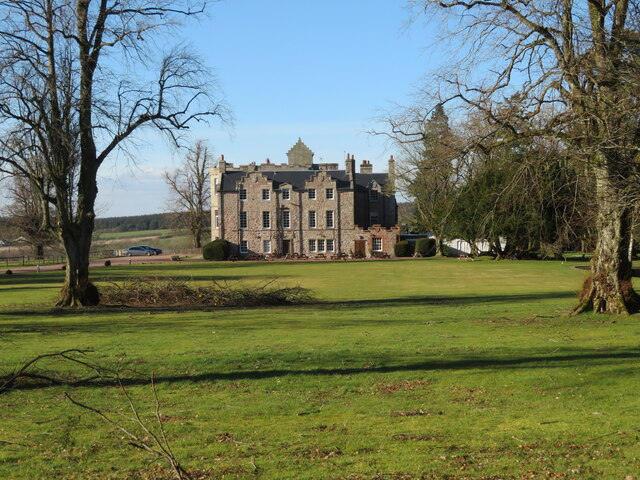
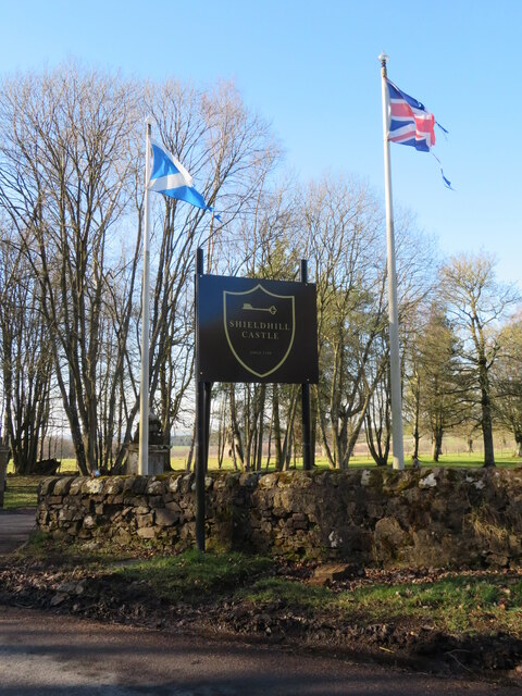
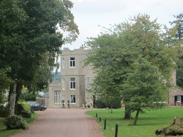
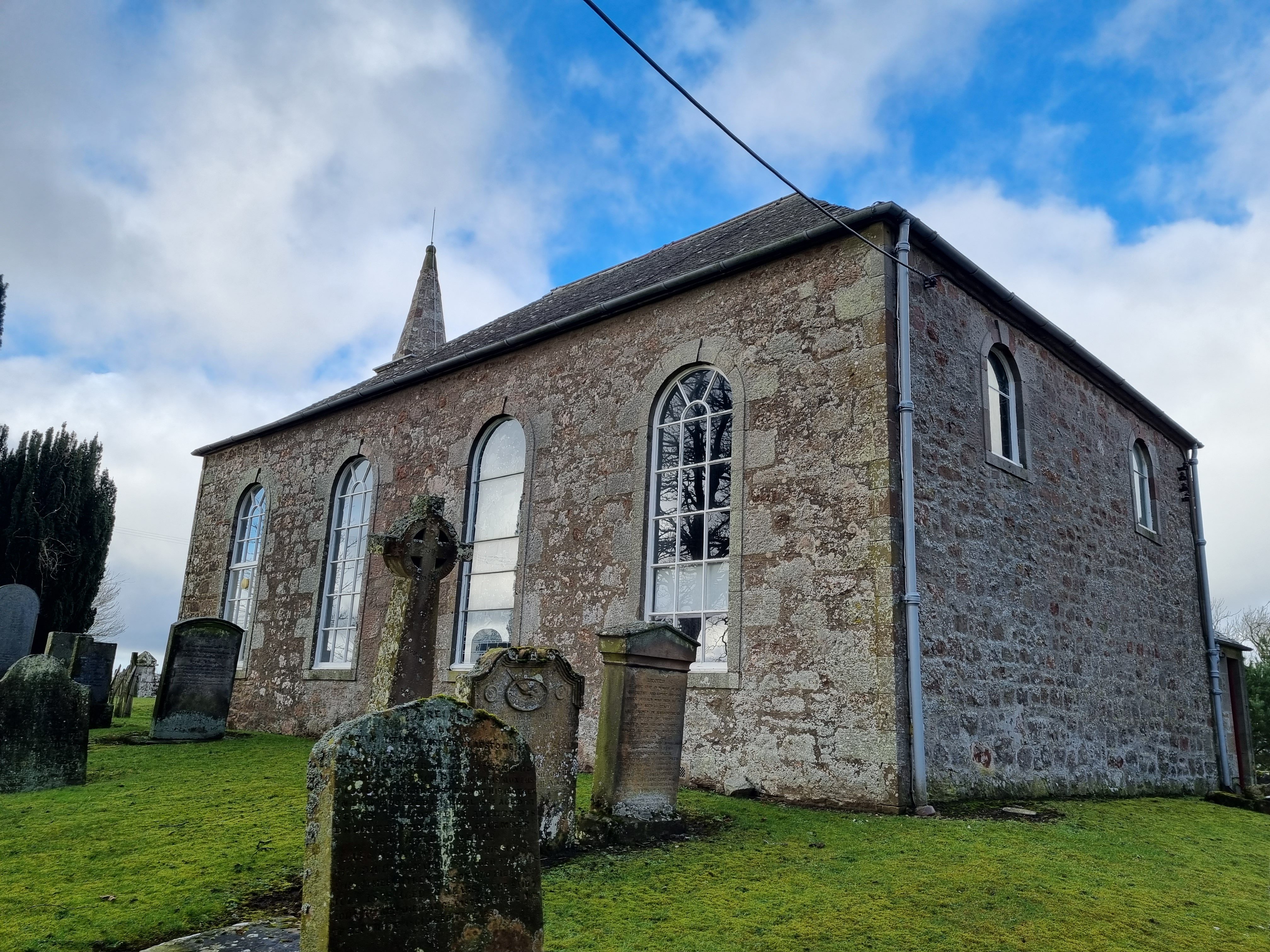
Shieldhill Castle
Shieldhill Castle is a category B listed building located near Biggar in South Lanarkshire. The building dates back to 1199 and is currently being run...

Quothquan
Quothquan (also formerly spelled Couth-Boan, meaning "the beautiful hill"; Scottish Gaelic: A’ Choitcheann, pronounced [ə ˈxɔʰtʲçən̪ˠ], meaning "the common...
Libberton
Libberton is a village and historical parish in South Lanarkshire. The village is approximately 2 miles (3.2 km) north of Quothquan and 2.3 miles (3.68...

Newbigging railway station
Newbigging railway station served the hamlet of Newbigging, South Lanarkshire, Scotland from 1867 to 1945 on the Dolphinton branch. == History == The station...

Biggar Castle
Biggar Castle was a 12th-century castle in Biggar, South Lanarkshire, Scotland. It appears to have been abandoned by the 14th century. == History == The...

Biggar Corn Exchange
Biggar Corn Exchange is a commercial building in the High Street, Biggar, South Lanarkshire, Scotland. The structure, which is now used as a theatre, is...
Biggar High School
Biggar High School (Local education authority: South Lanarkshire) is a secondary school located in the town of Biggar, South Lanarkshire. It is a mixed...

Kello Hospital
Kello Hospital is a health facility in John's Loan, Biggar, South Lanarkshire, Scotland. It is managed by NHS Lanarkshire. == History == The facility,...
Nearby Amenities
Located within 500m of 55.654266,-3.5575405Have you been to Glen Strip?
Leave your review of Glen Strip below (or comments, questions and feedback).