Roundel Wood

Wood, Forest in Lanarkshire

Scotland

Roundel Wood

Drain and fence separating two pastures With woodland beyond.
Drain and fence separating two pastures Credit: M J Richardson

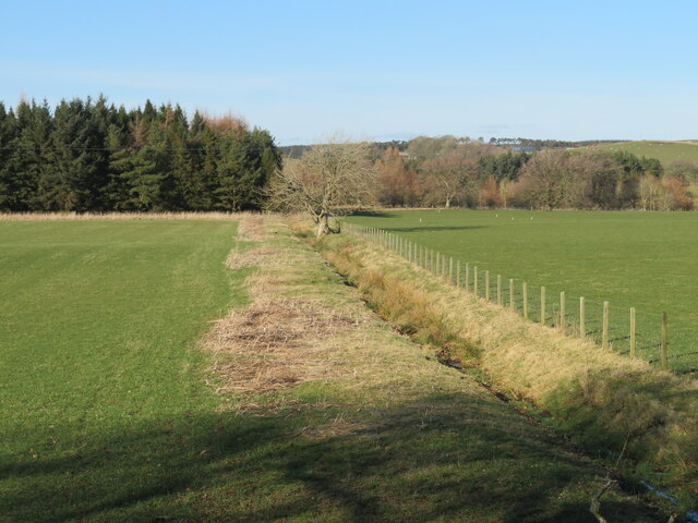
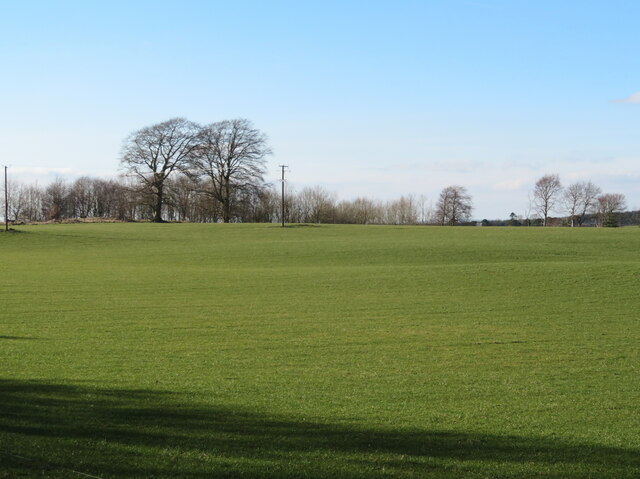
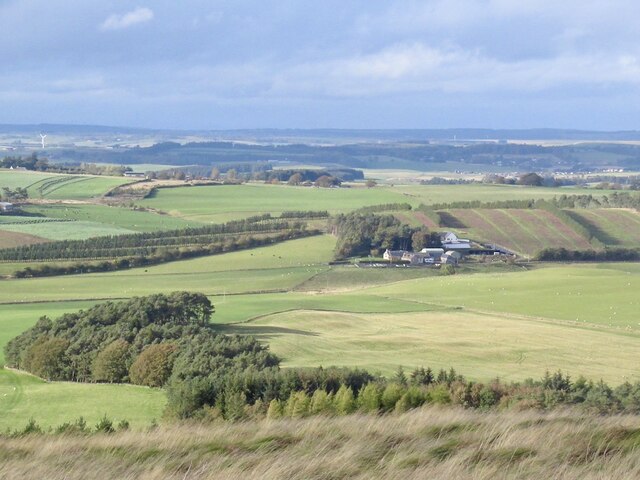
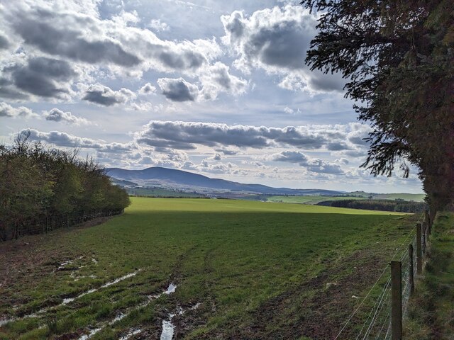
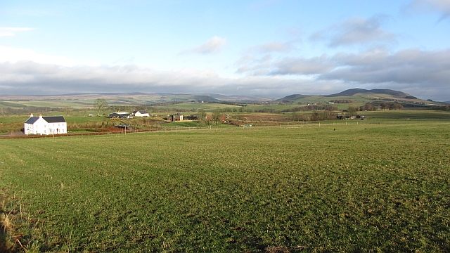
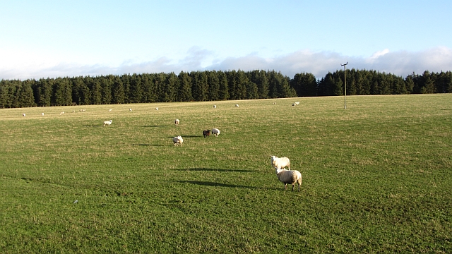
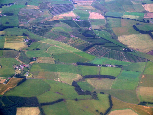
Roundel Wood is a picturesque forest located in Lanarkshire, Scotland. Covering an area of approximately 100 acres, it is known for its natural beauty and diverse range of flora and fauna. The wood is situated near the town of Lanark and is easily accessible for visitors.

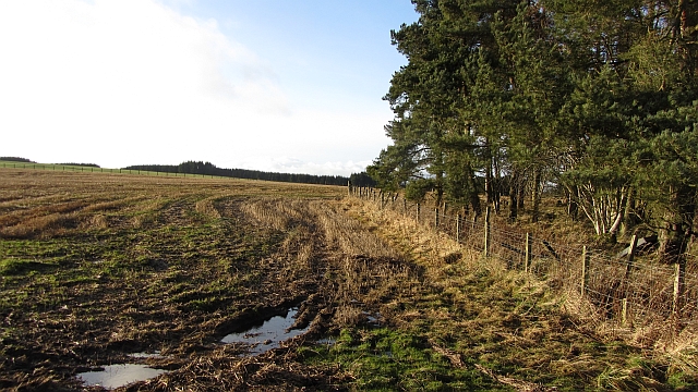
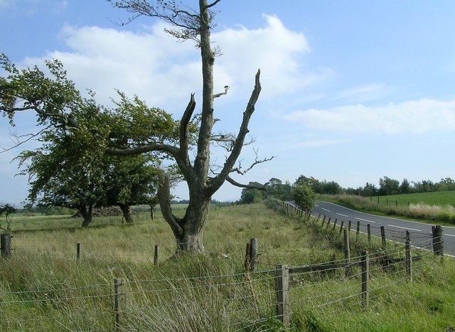
The forest is characterized by its dense tree cover, consisting primarily of native species such as oak, beech, and birch. These trees provide a habitat for a variety of wildlife, including birds, mammals, and insects. It is not uncommon to spot red squirrels, roe deer, and various species of birds while exploring the wood.

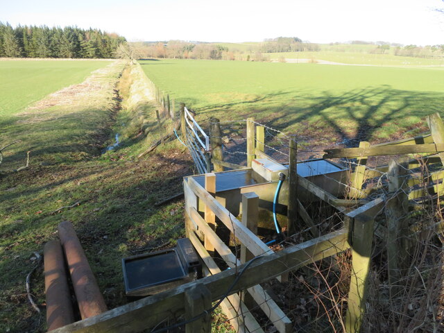
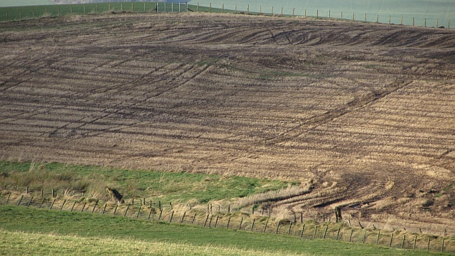
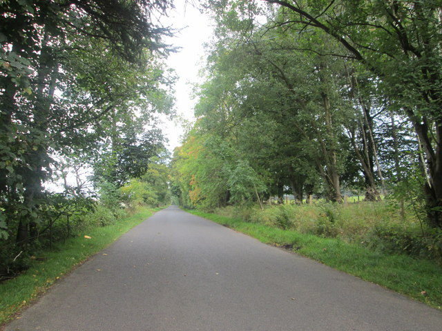
Roundel Wood offers a network of well-maintained trails, making it a popular destination for outdoor enthusiasts. The paths wind through the forest, allowing visitors to immerse themselves in the tranquility of nature. Along the way, there are several designated viewpoints that offer stunning vistas of the surrounding countryside.

The wood is also home to a diverse range of plant species, including bluebells, wild garlic, and various fungi. This makes it an ideal location for botany enthusiasts and nature photographers. The changing seasons bring different colors and scents to the forest, making each visit a unique experience.

Roundel Wood is managed by a local conservation organization, ensuring its preservation and protection. The wood is open to the public throughout the year, and there is no entry fee. It provides an excellent opportunity for individuals and families to enjoy nature, relax, and appreciate the beauty of Lanarkshire's woodlands.

If you have any feedback on the listing, please let us know in the comments section below.

Roundel Wood Images

Images are sourced within 2km of 55.659863/-3.5562527 or Grid Reference NT0241. Thanks to Geograph Open Source API. All images are credited.

Drain and fence separating two pastures With woodland beyond.
Drain and fence separating two pastures
With woodland beyond.
Pasture by Shieldhill Road With wooded strip beyond.
Pasture by Shieldhill Road
With wooded strip beyond.
Water supply One tank serving both sides of the fence, and an extra for the western field.
Water supply
One tank serving both sides of the fence, and an extra for the western field.
Cocklaw Beneath Christmas tree plantations.
Cocklaw
Beneath Christmas tree plantations.
Looking out over the fields from Arthurshiels Wood Looking out across the fields from the southern edge of Arthurshiels Wood (best accessed from the B7016). Tinto can be seen in the background too.
Looking out over the fields from Arthurshiels Wood
Looking out across the fields from the southern edge of Arthurshiels Wood (best accessed from the B7016). Tinto can be seen in the background too.
Gladstone A grass field and long view past a new house towards Black Mount.
Gladstone
A grass field and long view past a new house towards Black Mount.
Woodland corner The end of a strip wood at Greenshields.
Woodland corner
The end of a strip wood at Greenshields.
Stubble, Gladstone
Stubble, Gladstone
Sheep near Gladstone Grassland with shelter belts.
Sheep near Gladstone
Grassland with shelter belts.
Cocklaw Hill from the air Viewed from an Edinburgh bound flight from Prague.
Cocklaw Hill from the air
Viewed from an Edinburgh bound flight from Prague.
Rose Cottage Few motorists speeding by on the B7016 Biggar to Carnwath road will notice this wee 19th-century dwelling, so completely is it screened by the surrounding vegetation.  Only a glimpse of the roofline, and chimneys old and new, peep above the hedge.  No roses are in evidence, but there is a fine display of rowan berries.
Rose Cottage
Few motorists speeding by on the B7016 Biggar to Carnwath road will notice this wee 19th-century dwelling, so completely is it screened by the surrounding vegetation. Only a glimpse of the roofline, and chimneys old and new, peep above the hedge. No roses are in evidence, but there is a fine display of rowan berries.
Wester Whitecastle Hardly even a hamlet, just a farm and a few houses along the B7106 Carnwath to Biggar road. On the right, almost completely camouflaged by trees and shrubs, is <a href="https://www.geograph.org.uk/photo/3627315">NT0142 : Rose Cottage</a>.
Wester Whitecastle
Hardly even a hamlet, just a farm and a few houses along the B7106 Carnwath to Biggar road. On the right, almost completely camouflaged by trees and shrubs, is NT0142 : Rose Cottage.
Conifer-lined B7016 While there are obvious economic advantages of forestry developments, I do feel that they are not scenically desirable. I remember when there were no trees beside the road and the views were extensive both to the left and right.
Conifer-lined B7016
While there are obvious economic advantages of forestry developments, I do feel that they are not scenically desirable. I remember when there were no trees beside the road and the views were extensive both to the left and right.
Shieldhill Road heading E-N-E below Huntfield Hill In South Lanarkshire.
Shieldhill Road heading E-N-E below Huntfield Hill
In South Lanarkshire.
Approaching the junction of Shieldhill Road and the B7016 Between Biggar and Carnwath.
Approaching the junction of Shieldhill Road and the B7016
Between Biggar and Carnwath.
Sheep grazing at Carwood Between Carnwath and Biggar in South Lanarkshire.
Sheep grazing at Carwood
Between Carnwath and Biggar in South Lanarkshire.
Sunny afternoon close to Wester Whitecastle Farm Some freshly cut grass in a hay-field on Wester Whitecastle Farm.
Sunny afternoon close to Wester Whitecastle Farm
Some freshly cut grass in a hay-field on Wester Whitecastle Farm.
Half-dead old Beech Tree Last remaining tree of old beech hedge
Half-dead old Beech Tree
Last remaining tree of old beech hedge
Show me another place!

Roundel Wood is located at Grid Ref: NT0241 (Lat: 55.659863, Lng: -3.5562527)

Unitary Authority: South Lanarkshire

Police Authority: Lanarkshire

What 3 Words

///viewer.triads.oblige. Near Biggar, South Lanarkshire

Nearby Locations

Roundel Wood Glen Strip

Related Wikis

Shieldhill Castle

Shieldhill Castle is a category B listed building located near Biggar in South Lanarkshire. The building dates back to 1199 and is currently being run...

Newbigging railway station

Newbigging railway station served the hamlet of Newbigging, South Lanarkshire, Scotland from 1867 to 1945 on the Dolphinton branch. == History == The station...

Libberton

Libberton is a village and historical parish in South Lanarkshire. The village is approximately 2 miles (3.2 km) north of Quothquan and 2.3 miles (3.68...

Quothquan

Quothquan (also formerly spelled Couth-Boan, meaning "the beautiful hill"; Scottish Gaelic: A’ Choitcheann, pronounced [ə ˈxɔʰtʲçən̪ˠ], meaning "the common...

South Medwin River

South Medwin, sometimes spelled Medwyn, is a river in the Lanarkshire region of Scotland. Along with the confluence of the North Medwin River it forms...

Newbigging, South Lanarkshire

Newbigging (Scots: Neebicken) is a hamlet in South Lanarkshire, Scotland. It is near Dunsyre at the southern end of the Pentland Hills. It is on the A72...

Biggar Castle

Biggar Castle was a 12th-century castle in Biggar, South Lanarkshire, Scotland. It appears to have been abandoned by the 14th century. == History == The...

Elsrickle

Elsrickle is a village in South Lanarkshire, Scotland. It lies on Blackmount Hill, which is at the end of the Pentland Hills. An elrick is an old place...

Nearby Amenities

Located within 500m of 55.659863,-3.5562527
Power: pole
Lat/Long: 55.6578103/-3.562879
Power: pole
Lat/Long: 55.6584804/-3.5632385
Power: pole
Lat/Long: 55.6585018/-3.5637935
The data included in this document is from www.openstreetmap.org. The data is made available under ODbL.

Have you been to Roundel Wood?

Leave your review of Roundel Wood below (or comments, questions and feedback).