Briestonhill Moss
Wood, Forest in Midlothian
Scotland
Briestonhill Moss
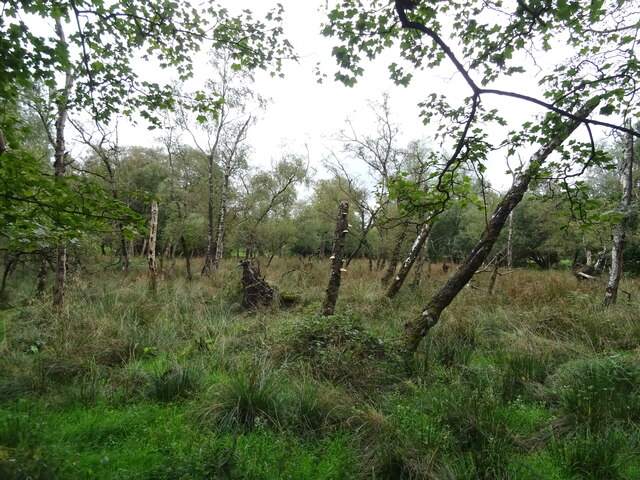
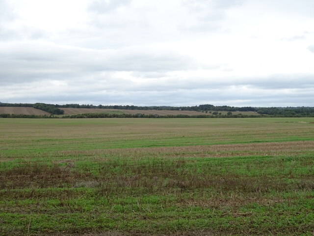
Briestonhill Moss is a wood located in Midlothian, Scotland. It is a picturesque forest that covers an area of approximately 50 acres. The moss is situated in a rural area, surrounded by rolling hills and scenic landscapes.
The wood is primarily composed of native Scottish tree species, including oak, birch, and rowan. These trees create a dense canopy that provides shelter and habitat for a variety of wildlife. The forest floor is covered in a thick layer of moss and ferns, giving the wood a mystical and enchanting atmosphere.
Briestonhill Moss is a popular destination for nature enthusiasts, hikers, and birdwatchers. The wood offers numerous walking trails that allow visitors to explore its natural beauty and discover its hidden treasures. Along these trails, visitors may encounter various bird species, such as woodpeckers and owls, as well as small mammals like squirrels and rabbits.
The wood is also home to a diverse range of plant life, including wildflowers and fungi. In the spring and summer months, the forest comes alive with vibrant colors and sweet scents as the flowers bloom and the trees flourish.
Overall, Briestonhill Moss is a tranquil and captivating woodland that offers visitors a chance to immerse themselves in nature. Its rich biodiversity and stunning landscapes make it a must-visit destination for anyone seeking a peaceful retreat in the heart of Midlothian.
If you have any feedback on the listing, please let us know in the comments section below.
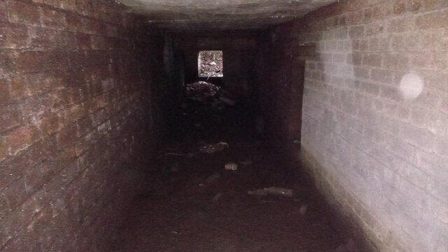
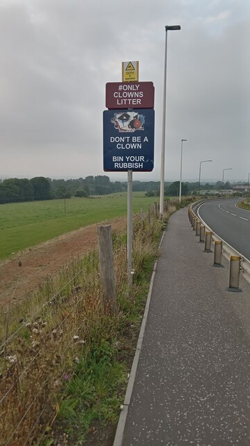
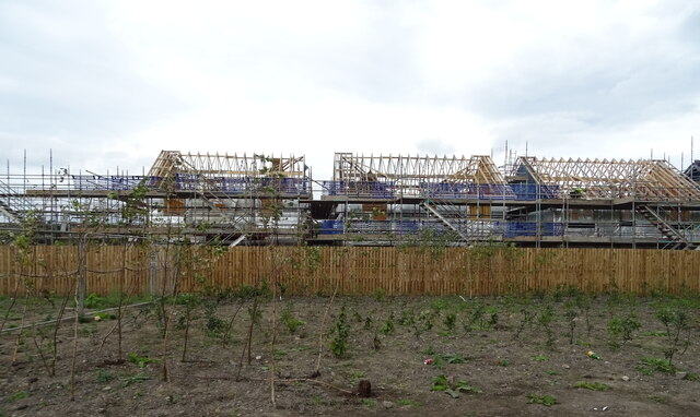
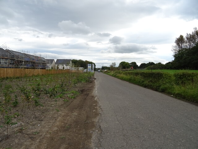
Briestonhill Moss Images
Images are sourced within 2km of 55.863076/-3.5662876 or Grid Reference NT0264. Thanks to Geograph Open Source API. All images are credited.


Briestonhill Moss is located at Grid Ref: NT0264 (Lat: 55.863076, Lng: -3.5662876)
Unitary Authority: West Lothian
Police Authority: The Lothians and Scottish Borders
What 3 Words
///lectured.alpha.boost. Near Polbeth, West Lothian
Nearby Locations
Related Wikis
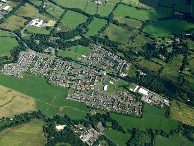
Polbeth
Polbeth (G. Poll - pool beithe - birch tree "birch pool") is a former oil shale mining village located about a mile from West Calder, and not far from...
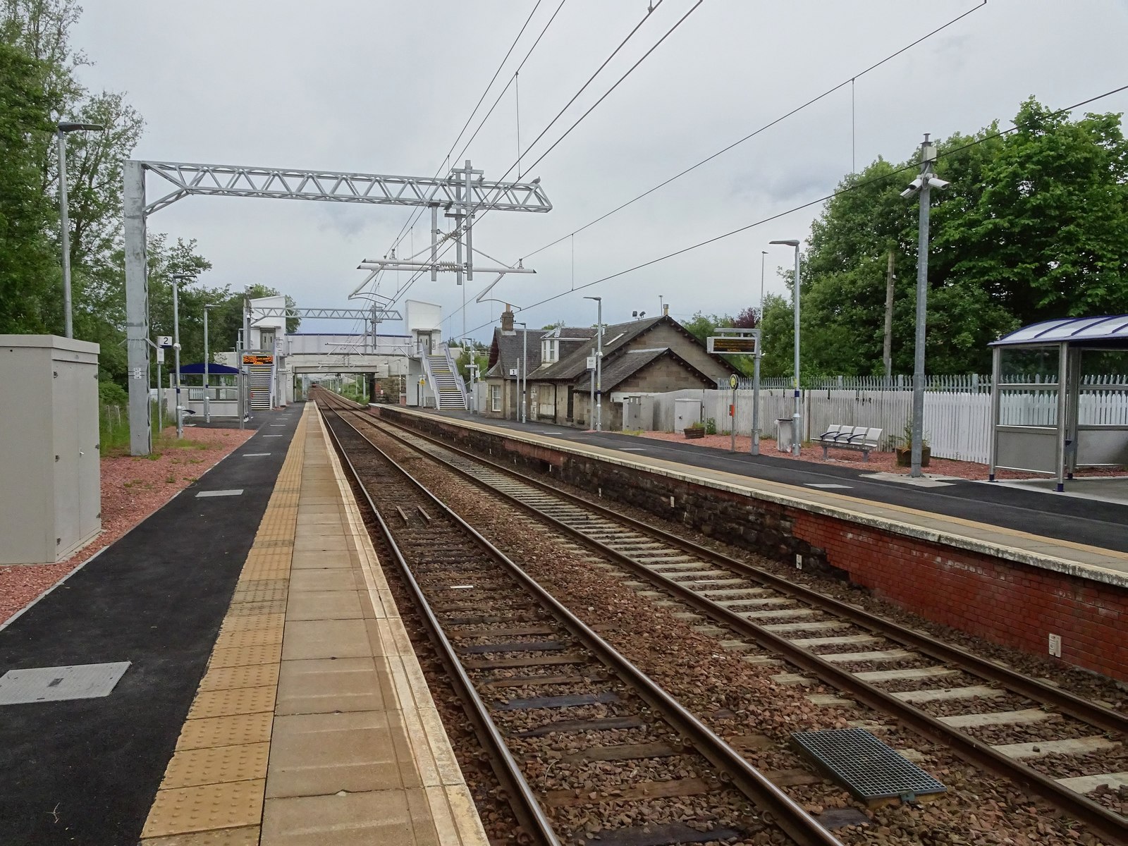
West Calder railway station
West Calder railway station is a railway station serving West Calder in West Lothian, Scotland. It is located on the Shotts Line, 17 miles (28 km) west...

West Calder High School
West Calder High School is a secondary school in West Calder, West Lothian, Scotland. The current school building was officially opened in 2018 by former...

West Calder
West Calder (Scots: Wast Cauder, Scottish Gaelic: Caladar an Iar) is a village in the council area of West Lothian, Scotland, located four miles west of...
Nearby Amenities
Located within 500m of 55.863076,-3.5662876Have you been to Briestonhill Moss?
Leave your review of Briestonhill Moss below (or comments, questions and feedback).