Service Road Strip

Wood, Forest in West Lothian

Scotland

Service Road Strip

Deans North Road bridge, Livingston North Railway Station ScotRail Class 334 EMU, No. 334020.
Deans North Road bridge, Livingston North Railway Station Credit: JThomas

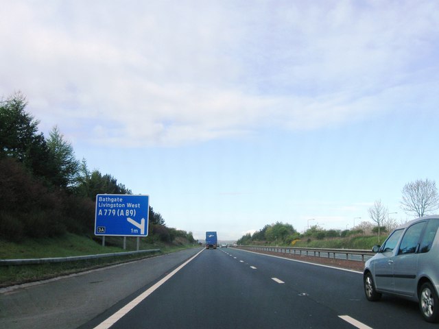
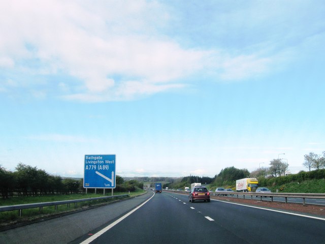
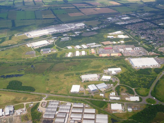
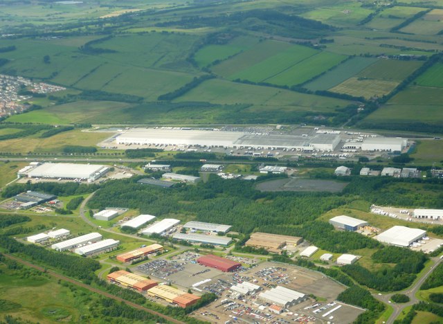
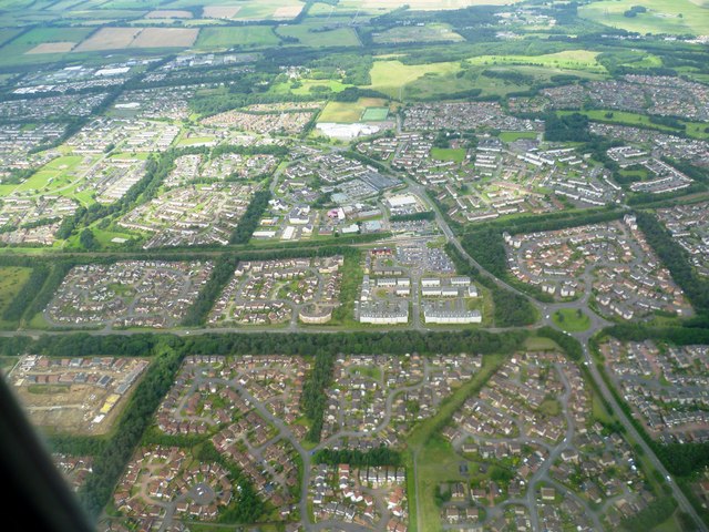
Service Road Strip is a wooded area located in West Lothian, Scotland. It is situated in a rural setting and is known for its natural beauty and abundant tree cover. The strip is a designated forest area that provides a habitat for various species of flora and fauna.

The woodland is characterized by its dense canopy of mature trees, primarily consisting of oak, beech, and birch species. These trees create a picturesque landscape and offer a serene environment for visitors. The forest floor is covered with a carpet of mosses, ferns, and wildflowers, adding to the overall charm of the area.

The Service Road Strip serves as a popular destination for nature enthusiasts and outdoor enthusiasts alike. It offers a range of recreational opportunities, including walking, hiking, and birdwatching. The network of well-maintained trails allows visitors to explore the forest and enjoy the peaceful surroundings.

The diversity of wildlife in the area is impressive, with sightings of various bird species, including woodpeckers, owls, and songbirds. Small mammals such as squirrels, rabbits, and foxes are also commonly spotted within the woodland. The forest acts as an important habitat for these creatures, providing food and shelter.

Service Road Strip is easily accessible, with ample parking available nearby. It is a perfect place for individuals seeking a retreat from the hustle and bustle of city life, offering a tranquil and relaxing environment in the heart of nature.

If you have any feedback on the listing, please let us know in the comments section below.

Service Road Strip Images

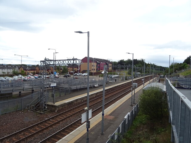
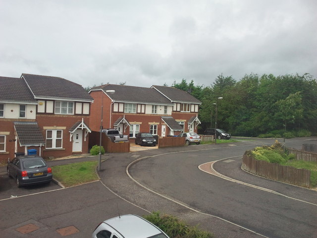
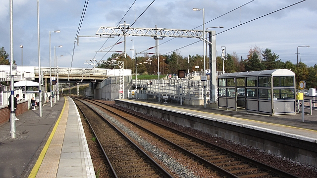
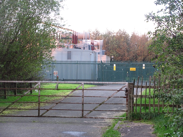
Images are sourced within 2km of 55.910098/-3.5685831 or Grid Reference NT0269. Thanks to Geograph Open Source API. All images are credited.

Deans North Road bridge, Livingston North Railway Station ScotRail Class 334 EMU, No. 334020.
Deans North Road bridge, Livingston North Railway Station
ScotRail Class 334 EMU, No. 334020.
Livingston North Railway Station Located on the Edinburgh-Bathgate Line.
Livingston North Railway Station
Located on the Edinburgh-Bathgate Line.
Livingston North Railway Station Located on the Edinburgh-Bathgate Line.
Line towards Bathgate and Glasgow.
Livingston North Railway Station
Located on the Edinburgh-Bathgate Line. Line towards Bathgate and Glasgow.
Livingston North Railway Station Located on the Edinburgh-Bathgate Line.
Line towards Uphall and Edinburgh..
Livingston North Railway Station
Located on the Edinburgh-Bathgate Line. Line towards Uphall and Edinburgh..
Livingston North Railway Station Located on the Edinburgh-Bathgate Line.
Livingston North Railway Station
Located on the Edinburgh-Bathgate Line.
Houses on Fells Rigg, Livingston
Fells Rigg, Livingston
Nell Burn, Livingston Although Nell Burn is shown on the largest-scale maps as being a small pond upstream of the mini-waterfall, it is unlikely that this is often the case. There has been a lot of rain over the last few days, and from the point the burn leaves the trees in the distant background, to its passage under a railway line just South of here, it flows through - and sometimes over - grassland. This is an odd site in an urban environment; usually such grassy meanderings are only found in remote countryside.
The burn begins as a series of drains in Dechmont, then goes underground through the North of Deans, the Northernmost area of Livingston. When the water re-emerges in central Deans it achieves named status (this didn't happen until relatively recently though); then, by way of an old reservoir, it flows through the Eliburn area of the town, before joining Lochshot Burn.
According to one website it sometimes also goes by the name of 'Eli Burn', which is obviously how that area of the town got its name. Nell and Ellie are interchangeable shortenings of some female names - e.g. Ellen. 'Eli' is an odd spelling of Ellie - it turns out though that it has something to do with some old noble family (startlingly, still lording it about in 2023!) who occupied Livingston Peel in the mid 1600s, shortly after they were granted the use of  the title of Lord Elibank for some favour or other back in the day.
Livingston Peel was basically a fancy house masquerading as a castle which once sat in the Eliburn area, and was all there was around here in mediaeval times apart from a few fields, and is the basis for the town's name. Elibank presumably derives from the area that belonged to the Murray family (aka the Elibanks) at the time the peerage was bestowed. A hill, a burn, some crags and a ruined castle still have the name. All are near Walkerburn, in what used to be Peeblesshire, and look to be close to where the family once owned (and no doubt probably still do own) land.
Nell Burn, Livingston
Although Nell Burn is shown on the largest-scale maps as being a small pond upstream of the mini-waterfall, it is unlikely that this is often the case. There has been a lot of rain over the last few days, and from the point the burn leaves the trees in the distant background, to its passage under a railway line just South of here, it flows through - and sometimes over - grassland. This is an odd site in an urban environment; usually such grassy meanderings are only found in remote countryside. The burn begins as a series of drains in Dechmont, then goes underground through the North of Deans, the Northernmost area of Livingston. When the water re-emerges in central Deans it achieves named status (this didn't happen until relatively recently though); then, by way of an old reservoir, it flows through the Eliburn area of the town, before joining Lochshot Burn. According to one website it sometimes also goes by the name of 'Eli Burn', which is obviously how that area of the town got its name. Nell and Ellie are interchangeable shortenings of some female names - e.g. Ellen. 'Eli' is an odd spelling of Ellie - it turns out though that it has something to do with some old noble family (startlingly, still lording it about in 2023!) who occupied Livingston Peel in the mid 1600s, shortly after they were granted the use of the title of Lord Elibank for some favour or other back in the day. Livingston Peel was basically a fancy house masquerading as a castle which once sat in the Eliburn area, and was all there was around here in mediaeval times apart from a few fields, and is the basis for the town's name. Elibank presumably derives from the area that belonged to the Murray family (aka the Elibanks) at the time the peerage was bestowed. A hill, a burn, some crags and a ruined castle still have the name. All are near Walkerburn, in what used to be Peeblesshire, and look to be close to where the family once owned (and no doubt probably still do own) land.
Kirk Road South Stripwood Livingston is awash with stripwoods, almost all of which predate the building of the newtown by a century or more, being former farmland shelterbelts. This one heads roughly South from a cycle path that runs alongside the railway line, but the path running through it is easy to miss - as is the path through the adjoining wood further South across the road - as the signs all direct you to another perfectly adequate (but far duller) tarmacked cycle path that runs parallel to it.
The Woodland Trust seems to own the majority of these woods; therefore Ordnance Survey maps are full of small narrow purple rectangles around here.  All their woods come with detailed management plans, available online. They also all come with names, though these can sometimes be hard to tie in with what's on the ground when as small as this one, as the plans often have no maps included. Zooming in on the Historic Environment Scotland website's map,  though, usually provides an answer. Although this name suggests some kind of historical link - the Kirkton area of Livingston being close by - in all probability it has been given because heading North along it you eventually reach a church, built as part of the newtown.
The Woodland Trust is a charity and receives most of its funding through private donations, though businesses (some of which could be charged with greenwashing practices no doubt) and government top this up. Interestingly, a third of their annual income comes from money donated by the dead in wills.
Kirk Road South Stripwood
Livingston is awash with stripwoods, almost all of which predate the building of the newtown by a century or more, being former farmland shelterbelts. This one heads roughly South from a cycle path that runs alongside the railway line, but the path running through it is easy to miss - as is the path through the adjoining wood further South across the road - as the signs all direct you to another perfectly adequate (but far duller) tarmacked cycle path that runs parallel to it. The Woodland Trust seems to own the majority of these woods; therefore Ordnance Survey maps are full of small narrow purple rectangles around here. All their woods come with detailed management plans, available online. They also all come with names, though these can sometimes be hard to tie in with what's on the ground when as small as this one, as the plans often have no maps included. Zooming in on the Historic Environment Scotland website's map, though, usually provides an answer. Although this name suggests some kind of historical link - the Kirkton area of Livingston being close by - in all probability it has been given because heading North along it you eventually reach a church, built as part of the newtown. The Woodland Trust is a charity and receives most of its funding through private donations, though businesses (some of which could be charged with greenwashing practices no doubt) and government top this up. Interestingly, a third of their annual income comes from money donated by the dead in wills.
The A89 near Bathgate Viewed at Tesco’s massive distribution centre on a very cold December morning.
The A89 near Bathgate
Viewed at Tesco’s massive distribution centre on a very cold December morning.
Fintry Avenue, Livingston
Livingston North Station A railway station on the now through route between Edinburgh and Glasgow.  Tags refer to the track's heritage as this is a modern station, opened around 1986.
Livingston North Station
A railway station on the now through route between Edinburgh and Glasgow. Tags refer to the track's heritage as this is a modern station, opened around 1986.
Substation entrance Well screened by trees.
Substation entrance
Well screened by trees.
M8 westbound
M8 westbound
M8 westbound
M8 westbound
Deans Industrial Estate from the air A view taken from an aeroplane approaching Edinburgh Airport from the east. It is more or less centred on the Deans Industrial Estate. The main Glasgow-Edinburgh railway line runs across the middle the picture between the A779 below and the M8 above. The long white building beside the M8 is the Tesco Distribution Centre for Scotland and Northern Ireland.
Deans Industrial Estate from the air
A view taken from an aeroplane approaching Edinburgh Airport from the east. It is more or less centred on the Deans Industrial Estate. The main Glasgow-Edinburgh railway line runs across the middle the picture between the A779 below and the M8 above. The long white building beside the M8 is the Tesco Distribution Centre for Scotland and Northern Ireland.
Tesco Distribution Centre from the air Tesco's Distribution Centre in Livingston (the long white building) opened in 2008, supplying all the company's stores in Scotland and Northern Ireland. It covers an area of one million square feet. The road haulage company Stobart transports goods from the centre to the Grangemouth rail terminal, whence they are sent on by rail to Inverness for distribution throughout the north of Scotland.

Compare this with an almost identical view, but from a slightly higher altitude in winter, photographed by Thomas Nugent. <a href="https://www.geograph.org.uk/photo/2230762">NT0168 : Tesco Distribution Centre and the M8 from the air</a>
Tesco Distribution Centre from the air
Tesco's Distribution Centre in Livingston (the long white building) opened in 2008, supplying all the company's stores in Scotland and Northern Ireland. It covers an area of one million square feet. The road haulage company Stobart transports goods from the centre to the Grangemouth rail terminal, whence they are sent on by rail to Inverness for distribution throughout the north of Scotland. Compare this with an almost identical view, but from a slightly higher altitude in winter, photographed by Thomas Nugent. NT0168 : Tesco Distribution Centre and the M8 from the air
Livingston from the air A view of the north-west edge of the town taken from an aeroplane approaching Edinburgh Airport. The view is more or less centred on the housing between the main Edinburgh-Glasgow railway line, cutting across the picture, and Houston Road running westwards from the Eliburn North Roundabout on the right.
Livingston from the air
A view of the north-west edge of the town taken from an aeroplane approaching Edinburgh Airport. The view is more or less centred on the housing between the main Edinburgh-Glasgow railway line, cutting across the picture, and Houston Road running westwards from the Eliburn North Roundabout on the right.
Show me another place!

Service Road Strip is located at Grid Ref: NT0269 (Lat: 55.910098, Lng: -3.5685831)

Unitary Authority: West Lothian

Police Authority: The Lothians and Scottish Borders

What 3 Words

///sharp.sooner.dine. Near Livingston, West Lothian

Related Wikis

Dechmont Law

Disambiguation: the name Dechmont, and an associated "Dechmont Hill" are also places near Cambuslang in Scotland Dechmont Law is a hill in Livingston...

Deans, West Lothian

Deans is a small community within the town of Livingston in West Lothian, Scotland. Deans is situated in the northern part of Livingston, The western area...

Deans Community High School

Deans Community High School is a secondary level school, in Deans, Livingston, Scotland. The school opened in 1978, and is co-educational, with 1279 pupils...

Livingston railway station

Livingston railway station was a railway station which served the village of Livingston and the community of Livingston Station, both of which were later...

Nearby Amenities

Located within 500m of 55.910098,-3.5685831
Crossing
Crossing: uncontrolled
Crossing Island: yes
Lat/Long: 55.913212/-3.5641175
Entrance: yes
Source: survey
Lat/Long: 55.9095712/-3.5718466
Bus Stop
Bents Cottages
Bench: yes
Layby: yes
Naptan AtcoCode: 6290BA007
Naptan Bearing: SW
Naptan CommonName: Bents Cottages
Naptan Indicator: opp
Naptan Landmark: Bents Cottages
Naptan NaptanCode: 95623493
Naptan PlusbusZoneRef: BTHGATE
Naptan Street: A89
Public Transport: platform
Lat/Long: 55.9134164/-3.5632089
Barrier: bollard
Bicycle: yes
Foot: yes
Lat/Long: 55.9064383/-3.5665434
Barrier: bollard
Bicycle: yes
Foot: yes
Lat/Long: 55.9064504/-3.5673267
Post Box
Collection Times: Mo-Fr 09:00; Sa 07:00
Operator: Royal Mail
Post Box Type: pillar
Ref: EH54 5D
Royal Cypher: scottish_crown
Lat/Long: 55.9064177/-3.5648726
Barrier: bollard
Bicycle: yes
Foot: yes
Lat/Long: 55.9131709/-3.5627613
Cafe
Operator: Knowepark Caravans Ltd
Lat/Long: 55.9058633/-3.5712692
Parcel Locker
Amazon Hub Locker
Brand: Amazon Hub
Brand Wikidata: Q16974764
Collection Times: 24/7
Operator: Amazon
Lat/Long: 55.9105664/-3.5721297
Addr City: Livingston
Addr Housenumber: 65
Addr Street: Chuckethall Road
Lat/Long: 55.9072859/-3.568049
Addr City: Livingston
Addr Housenumber: 62
Addr Street: Chuckethall Road
Lat/Long: 55.9073201/-3.5685328
Addr City: Livingston
Addr Housenumber: 52
Addr Street: Chuckethall Road
Lat/Long: 55.9070674/-3.569097
Addr City: Livingston
Addr Housenumber: 22
Addr Street: Chuckethall Road
Lat/Long: 55.9060301/-3.570029
Addr City: Livingston
Addr Housenumber: 20
Addr Street: Chuckethall Road
Lat/Long: 55.9058154/-3.5698396
Addr City: Livingston
Addr Housenumber: 21
Addr Street: Chuckethall Road
Lat/Long: 55.9057855/-3.5699126
Addr City: Livingston
Addr Housenumber: 19
Addr Street: Chuckethall Road
Lat/Long: 55.9058689/-3.5697071
Addr City: Livingston
Addr Housenumber: 18
Addr Street: Chuckethall Road
Lat/Long: 55.905947/-3.5695129
Addr City: Livingston
Addr Housenumber: 17
Addr Street: Chuckethall Road
Lat/Long: 55.9060766/-3.5694605
Addr City: Livingston
Addr Housenumber: 13
Addr Street: Chuckethall Road
Lat/Long: 55.9063534/-3.569916
Addr City: Livingston
Addr Housenumber: 9
Addr Street: Chuckethall Road
Lat/Long: 55.9063391/-3.569287
Addr City: Livingston
Addr Housenumber: 8
Addr Street: Chuckethall Road
Lat/Long: 55.9062449/-3.5691804
Addr City: Livingston
Addr Housenumber: 7
Addr Street: Chuckethall Road
Lat/Long: 55.9061429/-3.5690495
Addr City: Livingston
Addr Housenumber: 6
Addr Street: Chuckethall Road
Lat/Long: 55.906024/-3.5690074
Addr City: Livingston
Addr Housenumber: 5
Addr Street: Chuckethall Road
Lat/Long: 55.9059055/-3.5690273
Addr City: Livingston
Addr Housenumber: 4
Addr Street: Chuckethall Road
Lat/Long: 55.9057823/-3.5690506
Addr City: Livingston
Addr Housenumber: 3
Addr Street: Chuckethall Road
Lat/Long: 55.9056421/-3.5693064
Addr Housenumber: 11
Addr Street: Middlewood Park
Lat/Long: 55.9070599/-3.5626942
Addr Housenumber: 34
Addr Street: Middlewood Park
Lat/Long: 55.9068508/-3.5632469
Addr Housenumber: 36
Addr Street: Middlewood Park
Lat/Long: 55.9065975/-3.5639259
Addr City: Livingston
Addr Housenumber: 27
Addr Postcode: EH54 8BB
Addr Street: Maplewood Park
Lat/Long: 55.9072846/-3.5649356
Addr City: Livingston
Addr Housenumber: 26
Addr Postcode: EH54 8BB
Addr Street: Maplewood Park
Lat/Long: 55.9073791/-3.5647622
Addr City: Livingston
Addr Housenumber: 25
Addr Postcode: EH54 8BB
Addr Street: Maplewood Park
Lat/Long: 55.9074544/-3.564571
Addr City: Livingston
Addr Housenumber: 24
Addr Postcode: EH54 8BB
Addr Street: Maplewood Park
Lat/Long: 55.9075183/-3.5644034
Addr City: Livingston
Addr Housenumber: 23
Addr Postcode: EH54 8BB
Addr Street: Maplewood Park
Lat/Long: 55.9075875/-3.5642137
Addr City: Livingston
Addr Housenumber: 22
Addr Postcode: EH54 8BB
Addr Street: Maplewood Park
Lat/Long: 55.9077112/-3.5645811
Addr City: Livingston
Addr Housenumber: 20
Addr Postcode: EH54 8BB
Addr Street: Maplewood Park
Lat/Long: 55.9079236/-3.5648508
Addr City: Livingston
Addr Housenumber: 18
Addr Postcode: EH54 8BB
Addr Street: Maplewood Park
Lat/Long: 55.9081513/-3.5651045
Addr City: Livingston
Addr Housenumber: 6
Addr Postcode: EH54 8BB
Addr Street: Maplewood Park
Lat/Long: 55.9077827/-3.5653454
Addr City: Livingston
Addr Housenumber: 5
Addr Postcode: EH54 8BB
Addr Street: Maplewood Park
Lat/Long: 55.9078514/-3.5651687
Addr City: Livingston
Addr Housenumber: 3
Addr Postcode: EH54 8BB
Addr Street: Maplewood Park
Lat/Long: 55.9075332/-3.5650388
Addr City: Livingston
Addr Housenumber: 7
Addr Postcode: EH54 8BB
Addr Street: Maplewood Park
Lat/Long: 55.9076104/-3.5654843
Addr City: Livingston
Addr Housenumber: 10
Addr Postcode: EH54 8BB
Addr Street: Maplewood Park
Lat/Long: 55.9079248/-3.5657637
Addr City: Livingston
Addr Housenumber: 11
Addr Postcode: EH54 8BB
Addr Street: Maplewood Park
Lat/Long: 55.9080264/-3.5658423
Addr City: Livingston
Addr Housenumber: 12
Addr Postcode: EH54 8BB
Addr Street: Maplewood Park
Lat/Long: 55.9081723/-3.5659364
Noexit: yes
Lat/Long: 55.906794/-3.5682373
Addr City: Livingston
Addr Housenumber: 59
Addr Street: Chuckethall Road
Lat/Long: 55.9068037/-3.5678266
Addr City: Livingston
Addr Housenumber: 60
Addr Street: Chuckethall Road
Lat/Long: 55.906753/-3.5679909
Addr City: Livingston
Addr Housenumber: 61
Addr Street: Chuckethall Road
Lat/Long: 55.9067245/-3.5681126
Noexit: yes
Lat/Long: 55.9064512/-3.5669994
Addr City: Livingston
Addr Housenumber: 57
Addr Street: Chuckethall Road
Lat/Long: 55.9064792/-3.567745
Addr City: Livingston
Addr Housenumber: 58
Addr Street: Chuckethall Road
Lat/Long: 55.9065267/-3.5675821
Addr City: Livingston
Addr Housenumber: 71
Addr Street: Chuckethall Road
Lat/Long: 55.906364/-3.5673228
Addr City: Livingston
Addr Housenumber: 73
Addr Street: Chuckethall Road
Lat/Long: 55.9062378/-3.5677372
Addr City: Livingston
Addr Housenumber: 72
Addr Street: Chuckethall Road
Lat/Long: 55.9062907/-3.5675741
Addr City: Livingston
Addr Housenumber: 74
Addr Street: Chuckethall Road
Lat/Long: 55.9061744/-3.567931
Addr City: Livingston
Addr Housenumber: 75
Addr Street: Chuckethall Road
Lat/Long: 55.9060911/-3.5681462
Addr City: Livingston
Addr Housenumber: 76
Addr Street: Chuckethall Road
Lat/Long: 55.9060221/-3.5683052
Addr City: Livingston
Addr Housenumber: 77
Addr Street: Chuckethall Road
Lat/Long: 55.9059182/-3.5686544
Addr City: Livingston
Addr Housenumber: 78
Addr Street: Chuckethall Road
Lat/Long: 55.9058122/-3.5686182
Addr City: Livingston
Addr Housenumber: 12
Addr Postcode: EH54 8AW
Addr Street: Oakwood Park
Lat/Long: 55.90766/-3.5671632
Addr City: Livingston
Addr Housenumber: 13
Addr Postcode: EH54 8AW
Addr Street: Oakwood Park
Lat/Long: 55.9077368/-3.5670157
Addr City: Livingston
Addr Housenumber: 8
Addr Postcode: EH54 8AW
Addr Street: Oakwood Park
Lat/Long: 55.9073435/-3.5671573
Addr City: Livingston
Addr Housenumber: 4
Addr Postcode: EH54 8AW
Addr Street: Oakwood Park
Lat/Long: 55.9069072/-3.5668357
Addr City: Livingston
Addr Housenumber: 5
Addr Postcode: EH54 8AW
Addr Street: Oakwood Park
Lat/Long: 55.9069992/-3.5669218
Addr City: Livingston
Addr Housenumber: 1
Addr Postcode: EH54 8AW
Addr Street: Oakwood Park
Lat/Long: 55.906538/-3.5671477
Addr City: Livingston
Addr Housenumber: 2
Addr Postcode: EH54 8AW
Addr Street: Oakwood Park
Lat/Long: 55.9066137/-3.5669155
Addr City: Livingston
Addr Housenumber: 3
Addr Postcode: EH54 8AW
Addr Street: Oakwood Park
Lat/Long: 55.9066545/-3.5666954
Addr City: Livingston
Addr Housenumber: 66
Addr Street: Chuckethall Road
Lat/Long: 55.9071962/-3.5676426
Addr City: Livingston
Addr Housenumber: 40
Addr Street: Chuckethall Road
Lat/Long: 55.9063483/-3.5688506
Addr City: Livingston
Addr Housenumber: 39
Addr Postcode: EH54 8FB
Addr Street: Chuckethall Road
Lat/Long: 55.906437/-3.5689317
Addr City: Livingston
Addr Housenumber: 45
Addr Street: Chuckethall Road
Lat/Long: 55.9066019/-3.5684781
Addr City: Livingston
Addr Housenumber: 44
Addr Street: Chuckethall Road
Lat/Long: 55.906506/-3.5684155
Material: wood
Power: pole
Lat/Long: 55.9138243/-3.5693767
Material: wood
Power: pole
Lat/Long: 55.9122804/-3.5749727
Material: wood
Power: pole
Lat/Long: 55.9125904/-3.5738491
Material: wood
Power: pole
Lat/Long: 55.9132086/-3.5716083
Material: wood
Power: pole
Lat/Long: 55.9128962/-3.5727406
Material: wood
Power: pole
Lat/Long: 55.9135144/-3.5705
Material: wood
Power: pole
Lat/Long: 55.9141198/-3.5683056
Material: wood
Power: pole
Lat/Long: 55.9144497/-3.5671098
Bus Stop
Royston Hall
Bench: yes
Layby: yes
Naptan AtcoCode: 6290LDN001
Naptan Bearing: SW
Naptan CommonName: Royston Hall
Naptan Indicator: opp
Naptan Landmark: Deans Road End
Naptan NaptanCode: 95624983
Naptan Street: A89
Public Transport: platform
Shelter: yes
Tactile Paving: no
Lat/Long: 55.9083311/-3.5759372
Addr City: Livingston
Addr Housenumber: 21
Addr Postcode: EH54 8BB
Addr Street: Maplewood Park
Lat/Long: 55.9077965/-3.5647086
Addr City: Livingston
Addr Housenumber: 19
Addr Postcode: EH54 8BB
Addr Street: Maplewood Park
Lat/Long: 55.9080385/-3.5650025
Addr City: Livingston
Addr Housenumber: 17
Addr Postcode: EH54 8BB
Addr Street: Maplewood Park
Lat/Long: 55.908252/-3.5652667
Addr City: Livingston
Addr Housenumber: 16
Addr Postcode: EH54 8BB
Addr Street: Maplewood Park
Lat/Long: 55.9084406/-3.5652822
Addr City: Livingston
Addr Housenumber: 15
Addr Postcode: EH54 8BB
Addr Street: Maplewood Park
Lat/Long: 55.9083779/-3.5654713
Addr City: Livingston
Addr Housenumber: 14
Addr Postcode: EH54 8BB
Addr Street: Maplewood Park
Lat/Long: 55.9082973/-3.5656396
Addr City: Livingston
Addr Housenumber: 13
Addr Postcode: EH54 8BB
Addr Street: Maplewood Park
Lat/Long: 55.9082851/-3.5660063
Addr City: Livingston
Addr Housenumber: 9
Addr Postcode: EH54 8BB
Addr Street: Maplewood Park
Lat/Long: 55.9078373/-3.5656799
Addr City: Livingston
Addr Housenumber: 8
Addr Postcode: EH54 8BB
Addr Street: Maplewood Park
Lat/Long: 55.9077205/-3.5655783
Addr City: Livingston
Addr Housenumber: 4
Addr Postcode: EH54 8BB
Addr Street: Maplewood Park
Lat/Long: 55.907595/-3.5648633
Addr City: Livingston
Addr Housenumber: 2
Addr Postcode: EH54 8BB
Addr Street: Maplewood Park
Lat/Long: 55.9074641/-3.5652162
Addr City: Livingston
Addr Housenumber: 1
Addr Postcode: EH54 8BB
Addr Street: Maplewood Park
Lat/Long: 55.9073778/-3.5653567
Addr City: Livingston
Addr Housenumber: 70
Addr Street: Chuckethall Road
Lat/Long: 55.9067351/-3.5673612
Addr City: Livingston
Addr Housenumber: 69
Addr Street: Chuckethall Road
Lat/Long: 55.9068322/-3.5674446
Addr City: Livingston
Addr Housenumber: 68
Addr Street: Chuckethall Road
Lat/Long: 55.9069506/-3.5675217
Addr City: Livingston
Addr Housenumber: 67
Addr Street: Chuckethall Road
Lat/Long: 55.907059/-3.5675909
Addr City: Livingston
Addr Housenumber: 64
Addr Street: Chuckethall Road
Lat/Long: 55.9073472/-3.5682066
Addr City: Livingston
Addr Housenumber: 63
Addr Street: Chuckethall Road
Lat/Long: 55.9073618/-3.5683705
Addr City: Livingston
Addr Housenumber: 56
Addr Street: Chuckethall Road
Lat/Long: 55.9064207/-3.5679379
Addr City: Livingston
Addr Housenumber: 55
Addr Street: Chuckethall Road
Lat/Long: 55.9072376/-3.5686666
Addr City: Livingston
Addr Housenumber: 54
Addr Street: Chuckethall Road
Lat/Long: 55.9071811/-3.5687986
Addr City: Livingston
Addr Housenumber: 53
Addr Street: Chuckethall Road
Lat/Long: 55.9071138/-3.5689406
Addr City: Livingston
Addr Housenumber: 51
Addr Street: Chuckethall Road
Lat/Long: 55.9069962/-3.5692425
Addr City: Livingston
Addr Housenumber: 50
Addr Street: Chuckethall Road
Lat/Long: 55.9069654/-3.5693157
Addr City: Livingston
Addr Housenumber: 49
Addr Street: Chuckethall Road
Lat/Long: 55.9068948/-3.5687764
Addr City: Livingston
Addr Housenumber: 48
Addr Street: Chuckethall Road
Lat/Long: 55.9068145/-3.5686727
Addr City: Livingston
Addr Housenumber: 47
Addr Street: Chuckethall Road
Lat/Long: 55.9067363/-3.568604
Addr City: Livingston
Addr Housenumber: 46
Addr Street: Chuckethall Road
Lat/Long: 55.9066829/-3.5685521
Addr City: Livingston
Addr Housenumber: 43
Addr Street: Chuckethall Road
Lat/Long: 55.9062845/-3.5682732
Addr City: Livingston
Addr Housenumber: 42
Addr Street: Chuckethall Road
Lat/Long: 55.906218/-3.5684542
Addr City: Livingston
Addr Housenumber: 41
Addr Street: Chuckethall Road
Lat/Long: 55.9061432/-3.5686272
Addr City: Livingston
Addr Housenumber: 38
Addr Street: Chuckethall Road
Lat/Long: 55.9065256/-3.5690527
Addr City: Livingston
Addr Housenumber: 37
Addr Street: Chuckethall Road
Lat/Long: 55.9066068/-3.5691475
Addr City: Livingston
Addr Housenumber: 36
Addr Street: Chuckethall Road
Lat/Long: 55.9067018/-3.5692391
Addr City: Livingston
Addr Housenumber: 35
Addr Street: Chuckethall Road
Lat/Long: 55.9068782/-3.5695443
Addr City: Livingston
Addr Housenumber: 34
Addr Street: Chuckethall Road
Lat/Long: 55.9068211/-3.569659
Addr City: Livingston
Addr Housenumber: 33
Addr Street: Chuckethall Road
Lat/Long: 55.9067498/-3.5697724
Addr City: Livingston
Addr Housenumber: 32
Addr Street: Chuckethall Road
Lat/Long: 55.9066811/-3.569926
Addr City: Livingston
Addr Housenumber: 31
Addr Street: Chuckethall Road
Lat/Long: 55.9066513/-3.5699969
Addr City: Livingston
Addr Housenumber: 30
Addr Street: Chuckethall Road
Lat/Long: 55.9066215/-3.5700678
Addr City: Livingston
Addr Housenumber: 29
Addr Street: Chuckethall Road
Lat/Long: 55.9065917/-3.5701387
Addr City: Livingston
Addr Housenumber: 28
Addr Street: Chuckethall Road
Lat/Long: 55.9065098/-3.5702552
Addr City: Livingston
Addr Housenumber: 27
Addr Street: Chuckethall Road
Lat/Long: 55.9064803/-3.5703254
Addr City: Livingston
Addr Housenumber: 26
Addr Street: Chuckethall Road
Lat/Long: 55.906354/-3.5704094
Addr City: Livingston
Addr Housenumber: 25
Addr Street: Chuckethall Road
Lat/Long: 55.9063076/-3.5703861
Addr City: Livingston
Addr Housenumber: 24A
Addr Street: Chuckethall Road
Lat/Long: 55.9062169/-3.5702906
Addr City: Livingston
Addr Housenumber: 24
Addr Street: Chuckethall Road
Lat/Long: 55.9061514/-3.5701673
Addr City: Livingston
Addr Housenumber: 23
Addr Street: Chuckethall Road
Lat/Long: 55.9061125/-3.5701165
Addr City: Livingston
Addr Housenumber: 16
Addr Street: Chuckethall Road
Lat/Long: 55.9061348/-3.569732
Addr City: Livingston
Addr Housenumber: 15
Addr Street: Chuckethall Road
Lat/Long: 55.9062031/-3.5698201
Addr City: Livingston
Addr Housenumber: 14
Addr Street: Chuckethall Road
Lat/Long: 55.9062491/-3.5698792
Addr City: Livingston
Addr Housenumber: 12
Addr Street: Chuckethall Road
Lat/Long: 55.9065373/-3.5695275
Addr City: Livingston
Addr Housenumber: 11
Addr Street: Chuckethall Road
Lat/Long: 55.906462/-3.5694377
Addr City: Livingston
Addr Housenumber: 10
Addr Street: Chuckethall Road
Lat/Long: 55.9064153/-3.5693812
Addr City: Livingston
Addr Housenumber: 20
Addr Postcode: EH54 8AW
Addr Street: Oakwood Park
Lat/Long: 55.9068132/-3.5662853
Addr City: Livingston
Addr Housenumber: 19
Addr Postcode: EH54 8AW
Addr Street: Oakwood Park
Lat/Long: 55.9069188/-3.5664229
Addr City: Livingston
Addr Housenumber: 18
Addr Postcode: EH54 8AW
Addr Street: Oakwood Park
Lat/Long: 55.9070441/-3.5665644
Addr City: Livingston
Addr Housenumber: 17
Addr Postcode: EH54 8AW
Addr Street: Oakwood Park
Lat/Long: 55.9071838/-3.5666408
Addr City: Livingston
Addr Housenumber: 16
Addr Postcode: EH54 8AW
Addr Street: Oakwood Park
Lat/Long: 55.907281/-3.5666952
Addr City: Livingston
Addr Housenumber: 15
Addr Postcode: EH54 8AW
Addr Street: Oakwood Park
Lat/Long: 55.9074088/-3.5667721
Addr City: Livingston
Addr Housenumber: 14
Addr Postcode: EH54 8AW
Addr Street: Oakwood Park
Lat/Long: 55.907511/-3.5668914
Addr City: Livingston
Addr Housenumber: 11
Addr Postcode: EH54 8AW
Addr Street: Oakwood Park
Lat/Long: 55.9075582/-3.5673525
Addr City: Livingston
Addr Housenumber: 10
Addr Postcode: EH54 8AW
Addr Street: Oakwood Park
Lat/Long: 55.9074989/-3.5675485
Addr City: Livingston
Addr Housenumber: 9
Addr Postcode: EH54 8AW
Addr Street: Oakwood Park
Lat/Long: 55.9074424/-3.5677419
Addr City: Livingston
Addr Housenumber: 7
Addr Postcode: EH54 8AW
Addr Street: Oakwood Park
Lat/Long: 55.9072261/-3.5670605
Addr City: Livingston
Addr Housenumber: 6
Addr Postcode: EH54 8AW
Addr Street: Oakwood Park
Lat/Long: 55.9071064/-3.5669984
Man Made: tower
Operator: Vodafone
Ref: 71034
Tower Type: communication
Lat/Long: 55.9086536/-3.5676424
Addr Housenumber: 10
Addr Street: Chuckethall Place
Lat/Long: 55.9057323/-3.5667299
Addr Housenumber: 9
Addr Street: Chuckethall Place
Lat/Long: 55.9058464/-3.5666515
Addr City: Livingston
Addr Housenumber: 12
Addr Postcode: EH54 8NN
Addr Street: Pinewood Park
Lat/Long: 55.9059999/-3.5653299
Addr City: Livingston
Addr Housenumber: 11
Addr Postcode: EH54 8NN
Addr Street: Pinewood Park
Lat/Long: 55.9060019/-3.5655276
Addr Housenumber: 38
Addr Street: Middlewood Park
Lat/Long: 55.9063811/-3.5645857
Addr Housenumber: 37
Addr Street: Middlewood Park
Lat/Long: 55.9064811/-3.5642574
Addr Housenumber: 35
Addr Street: Middlewood Park
Lat/Long: 55.9067421/-3.5636013
The data included in this document is from www.openstreetmap.org. The data is made available under ODbL.

Have you been to Service Road Strip?

Leave your review of Service Road Strip below (or comments, questions and feedback).